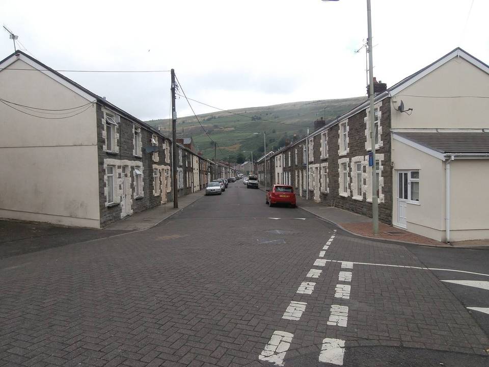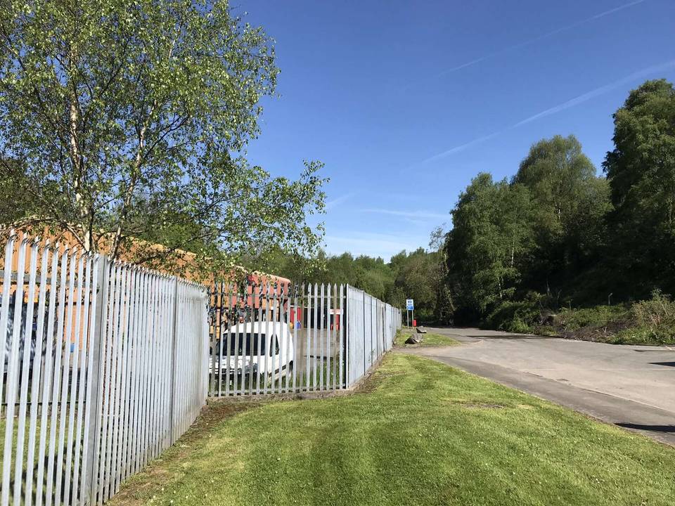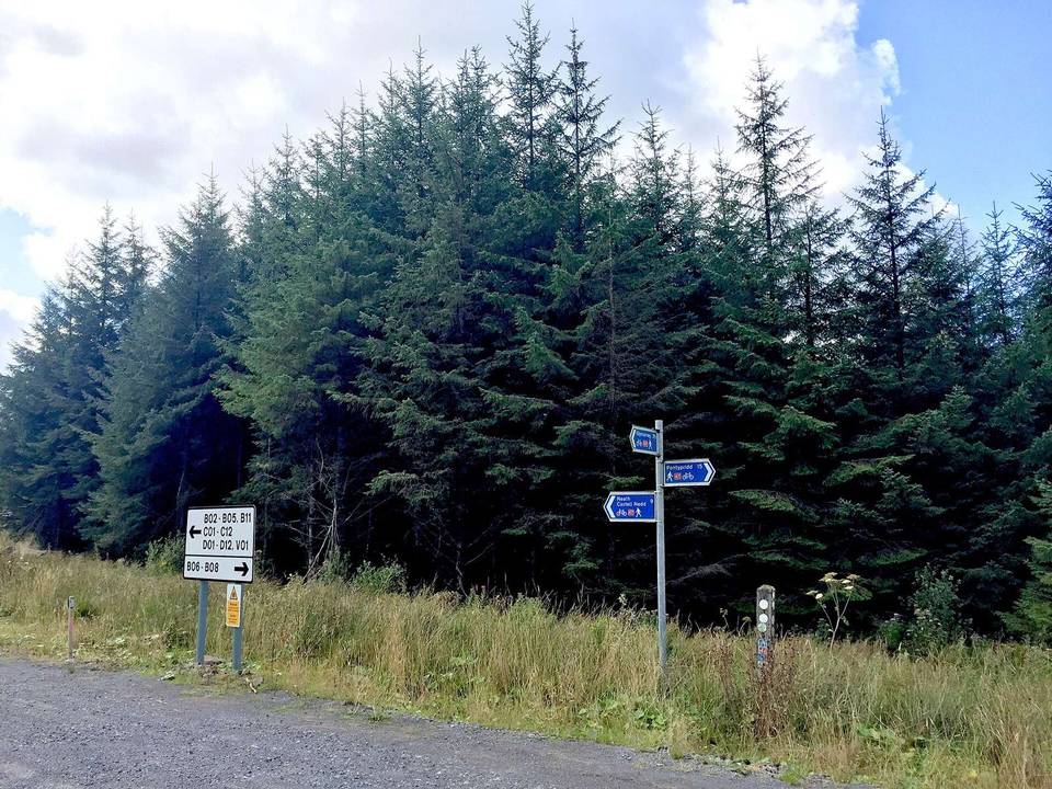
Gravel · United Kingdom
Rhondda Cynon Taf offers three routes from Rhigos, Abercynon and Pontypridd, with mixed terrain and moderate climbing up to 551 m.
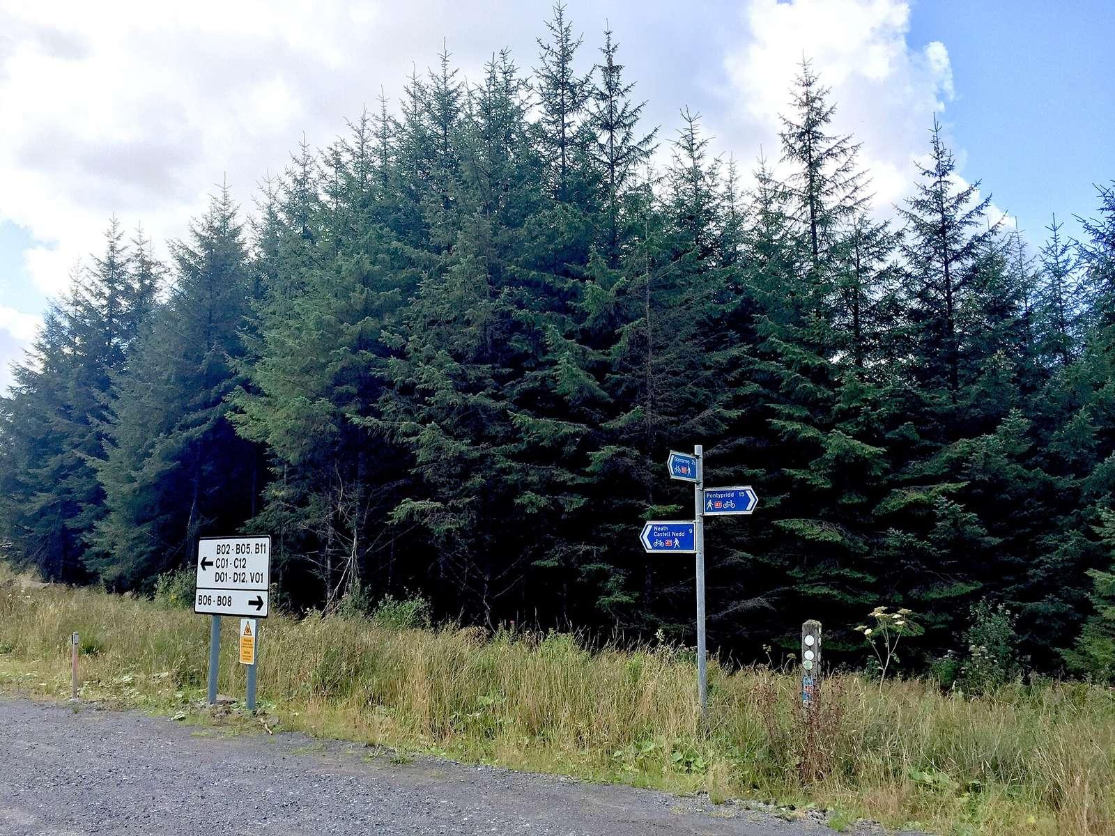
Rhondda Cynon Taf features three routes starting from Rhigos, Abercynon and Pontypridd, ranging from 14 km to 37 km in length. The routes include one loop and two point-to-point rides, with distances suitable for short to moderate rides.
Climbing varies from 64 m to 551 m, with the Skyline route providing the highest ascent. Surface types include paved and unpaved sections, and the terrain offers a mix from flat to moderate gradients. Cycling infrastructure includes a significant proportion of cycle paths, tracks and quiet streets, with only a small percentage on main roads.
The terrain in Rhondda Cynon Taf varies from flat to moderately hilly, with up to 551 m climbing on the longest route, Skyline. Average route lengths are between 14 km and 37 km, with a median of 17 km. Most roads are cycle paths (60%) and tracks (24%), with minor roads making up 3%. The longest gradient at 7.5% over 500 m indicates some sustained inclines. Surface is mainly paved (66%) with substantial unpaved areas (34%).
Across the three routes, total cycle path length is 40.5 km. Main roads without cycle lanes cover 0.9 km, and roads with speed limits of 80 km/h or more cover 0.6 km.
The best months to ride are from June to September, with May to September also scoring well for riding conditions. Average daily high temperatures range from 7°C in January to 20°C in July.
Best months: Jun to Sep.