Cyclists.com

Rhondda Fach Trail

Pontypridd, Rhondda Cynon Taf, United KingdomRoad

Signed route The waymarked Rhondda Fach Trail (National Cycle Network 881), traced from OpenStreetMap and measured against the terrain model; no member has recorded it yet. Ridden it? Add your recording and photos.

17 km
Distance
228 m
Elevation gain
Easy
Difficulty
Paved
Surface
Download GPXMap

Elevation profile

Total ascent
228 m
Distance
17 km
0100200300400m0 km51017 km304 m · highest, at 17.1 kmStartFinish

Route overview

Suitable for riders comfortable with moderate distance and gentle climbing over mixed surfaces.

17.2 km route from Pontypridd to Maerdy with 228 m climbing in Rhondda Cynon Taf, mainly on cycle paths and quiet streets.

The Rhondda Fach Trail starts at Pontypridd (0 km) and quickly passes through several small places including Maesycoed, Graigwen, Pwll-gwaun, and Hopkinstown before reaching Trehafod at 3 km. The route mainly uses cycle paths (72% of the distance) and quiet streets (23%), with a short section on minor roads (4%). It is predominantly paved (89%) with some gravel or unpaved sections (11%). The profile ranges from 76 m at the start to a high point of 304 m near the end at 17.1 km. The climb between 12.6 km and 15.1 km is 2.5 km long with an elevation gain of 52 m at an average gradient of 2.1%. The majority of climbing occurs in the second half of the ride, with an overall elevation gain of 228 m. Facilities along the route include cafés, shops, public toilets, and bike shops mostly near Pontypridd and around 10-15 km, with a notable 3.5 km stretch between 6.5 km and 10 km without any café, shop, or water access. A railway station at Porth (5.1 km) offers a bailout point.

Highlights

  • Cycle path for 12.3 km
  • Climb of 2.5 km gaining 52 m
  • Start and finish in Pontypridd and Maerdy
  • Longest climb tops out at 270 m

Along the route

Measured from the recorded track and OpenStreetMap.

Places passed

  1. Trehafod 3 km
  2. Llwyncelyn 4.3 km
  3. Britannia 4.6 km
  4. Cymmer 4.8 km
  5. Glynfach 4.8 km
  6. Porth 5.1 km
  7. Mount Pleasant 5.6 km
  8. Ynyshir 6.6 km
  9. Wattstown 8.1 km
  10. Pontygwaith 9.1 km
  11. Stanleytown 9.7 km
  12. Penrhys 9.8 km
  13. Tylorstown 10.3 km
  14. Ferndale 12.2 km
  15. Blaenllechau 13.1 km

Climbs

ClimbStarts atLengthGainAverageMaxTop
12.6 km2.5 km52 m2.1 %3.2 %270 m

High point 304 m at 17.1 km; low point 76 m.

What this ride is like

Measured from OpenStreetMap along the track and the elevation profile.

Roads
72% cycle path · 23% quiet street · 4% minor road
Cycle paths
12.3 km on cycle paths or roads with a cycle lane
Surface
Paved throughout
Gradient
46% climbing · 2% descending · 52% flat

Along the way

Within a few hundred metres of the track, from OpenStreetMap. Opening hours change — treat this as where to look, not a promise.

Food, water and shops

  1. 0 kmLidl · supermarket · 80 m off route
  2. 2.1 kmBarry Sidings Cafe · café · on the route
  3. 2.1 kmBike Doctor · bike shop · on the route
  4. 3.1 kmToilets · on the route
  5. 4.7 kmTexaco · petrol station · 40 m off route
  6. 5.3 kmAllied Pharmacy · pharmacy · 160 m off route
  7. 10 kmLidl · supermarket · 50 m off route
  8. 10.4 kmWelfare Hall Cafe · café · 120 m off route
  9. 13.6 kmMurco · petrol station · 160 m off route
  10. 15.6 kmSpar · convenience store · 180 m off route
  11. 15.7 kmThe Hotel · pub · 160 m off route

Need to bail out?

  • 5.1 kmPorth (station), 130 m off route

Whether bikes are carried depends on the service — check before relying on it.

At the start

  • Lidl · supermarket · 80 m
  • Pontypridd · station · 320 m
  • Zucco · café · 330 m
  • Rainbow · fast food · 380 m
  • Asda · convenience store · 310 m

Stay after this ride

  • Dare Valley Country Park Accommodation · hostel · 3.6 km from the finish

Practical information

Surface
Paved
Route shape
Point to point
Riding time
1 h 14 min
Best months
May to Sep — daily highs of 16–20 °C in those months

Know before you go

  • 3.5 km without café, shop or water from 6.5 km to 10 km

Routes are for inspiration. Roads, surfaces and conditions change — check locally and ride within your limits.

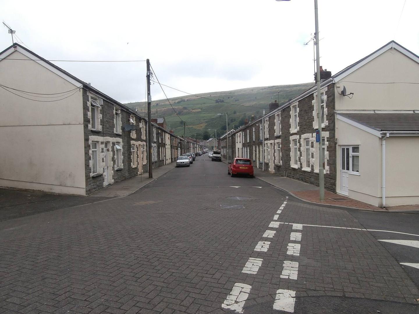
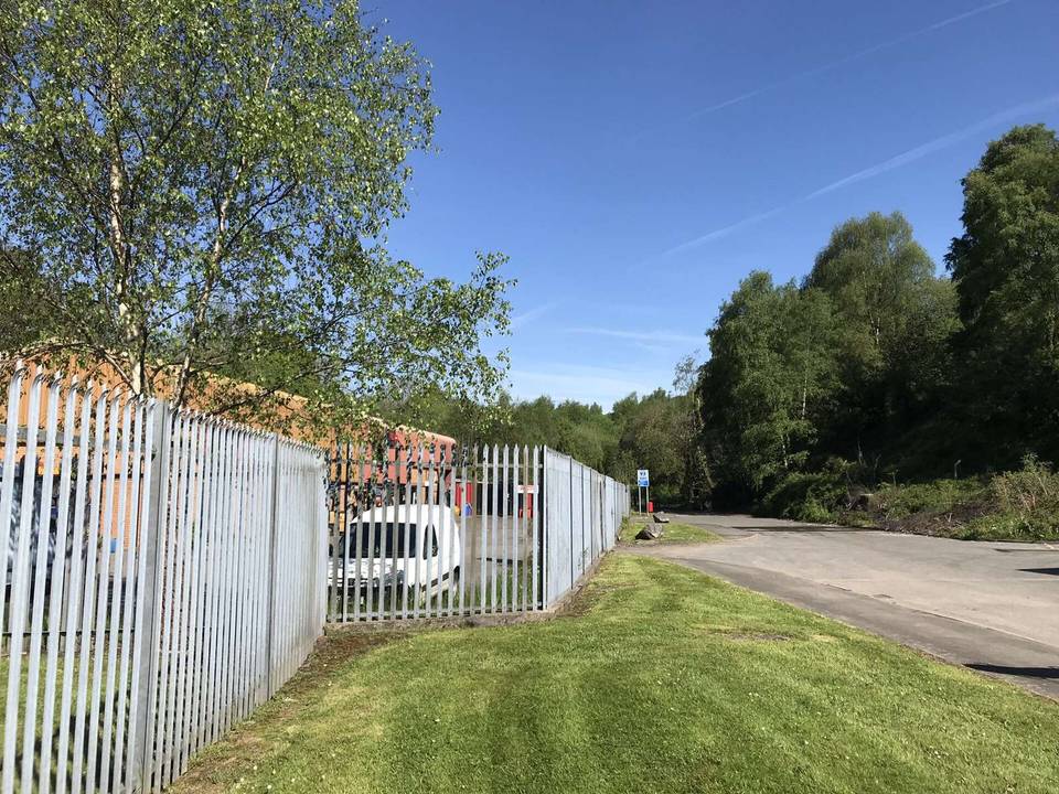
2 photographs from the road

Photo: John Lord · CC BY-SA 2.0 · Wikimedia Commons · Photo: Gareth James · CC BY-SA 2.0 · Wikimedia Commons