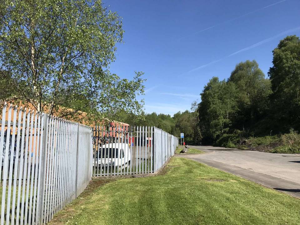
Trevithick Trail
- 10 km
- 68 m
- Easy
- Paved
Elevation profile
- 68 m
- 10 km
Route overview
This route suits riders looking for a short 9.5 km ride with mild climbing of 68 m.
Trevithick Trail is a 9.5 km point-to-point route in Merthyr Tydfil County Borough, UK, from Edwardsville to Merthyr Tydfil.
The route starts at Edwardsville at 129 m elevation and climbs gently to a high point of 178 m at around 6 km near Mynydd Cilfach-Yr-Encil. The elevation gain is a modest 68 m over 9.5 km, with most climbing occurring in the first half of the ride. The profile is largely flat with 71% flat terrain and only short steep sections. The majority of the route (68%) follows a cycle path named Trevithick Trail, with small portions on quiet streets, minor roads, and roads with cycle lanes. The surface is predominantly paved (95%), with a minor 4% of gravel or unpaved sections. The route passes through several places including Merthyr Vale, Aberfan, Troed-y-rhiw, Pentrebach, and Abercanaid before reaching Merthyr Tydfil. Services along the route include a pub (Windsor Hotel) near 2.5 km, a supermarket (Co-op Food) near 7.2 km, and cafes, shops, and train stations concentrated around the finish at Merthyr Tydfil. There is a longest stretch of 2.5 km from the start with no café, shop, or water. Bailout points with stations are at Merthyr Vale (2 km) and Merthyr Tydfil (9.5 km).
Highlights
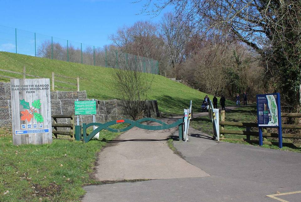
- Trevithick Trail cycle path for 6.4 km
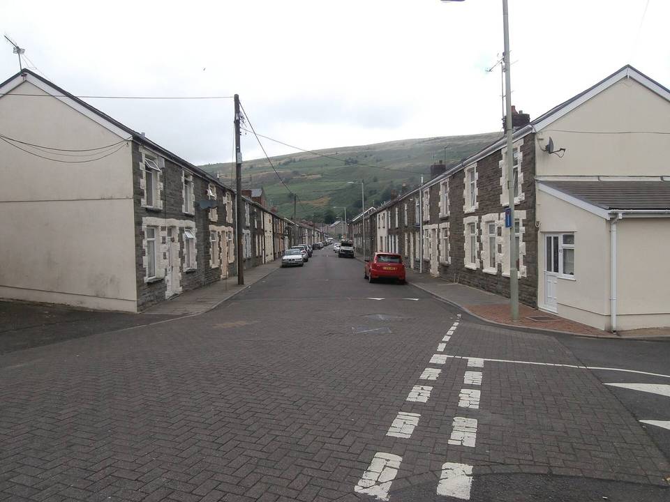
- Passes through Aberfan and Troed-y-rhiw
- Highest point near Mynydd Cilfach-Yr-Encil at 178 m
- Finish at Merthyr Tydfil with multiple amenities
Along the route
Places passed
What this ride is like
- Roads
- 68% cycle path · 15% quiet street · 7% minor road · 6% road with cycle lane
- Cycle paths
- 7.1 km on cycle paths or roads with a cycle lane
- Main roads used
- Trevithick Trail (6 km)
- Surface
- Paved throughout
- Gradient
- 19% climbing · 11% descending · 71% flat
Along the way
Food, water and shops
- 2.5 kmWindsor Hotel · pub · 70 m off route
- 2.8 kmTroed Y Fan Surgery · clinic · 300 m off route
- 7.2 kmCo-op Food · supermarket · 50 m off route
- 9.3 kmApplegreen Petrol Station · petrol station · 150 m off route
- 9.5 kmThe Flamingo Cafe · café · 210 m off route
Need to bail out?
- 2 km — Merthyr Vale (station), on the route
- 9.5 km — Merthyr Tydfil (station), 140 m off route
Worth a stop
- 9.5 km — The Robert and Lucy Thomas Memorial Fountain (monument)
At the finish
- Merthyr Tydfil · station · 140 m
- Domino's · fast food · 10 m
- The Flamingo Cafe · café · 210 m
- Sunflowers Cafe · café · 180 m
- Tesco Extra · supermarket · 220 m
Stay after this ride
- Howfield Hotel · guest house · 190 m from the finish
- Castle Hotel · hotel · 420 m from the finish
- Travelodge Merthyr Tydfil · hotel · 710 m from the finish
- Imperial Hotel · hotel · 610 m from the finish
- Maes-y-Coed · guest house · 670 m from the finish
Practical information
- Paved
- Point to point
- 41 min
- Jun to Sep — daily highs of 17–19 °C in those months
Know before you go
- Longest stretch without café, shop or water: 2.5 km from start
- 0.6 km on roads with cycle lanes
- 0.7 km on minor roads
- 4% gravel or unpaved surface