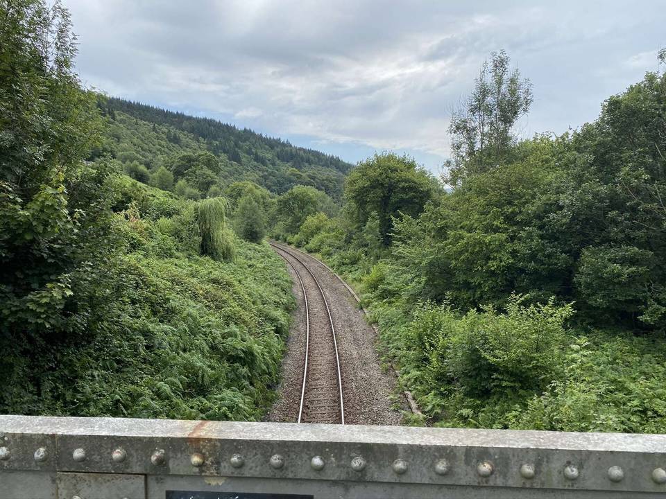
Road · United Kingdom
A rolling 14 km road cycling route from Abercynon, Rhondda Cynon Taf through Penrhiwceiber, Miskin and Fernhill, with 64 m of climbing. 58% is on cycle paths or roads with a cycle lane.
The Cynon Trail begins at Abercynon (0 km, 90 m elevation) and heads generally uphill with a total elevation gain of 64 m, ending near Llwydcoed at 155 m height. The route passes through multiple settlements including Penrhiwceiber (3 km), Mountain Ash (4.7 km), and Aberdare (11 km), before reaching Llwydcoed (14 km). The profile is mostly flat (87%) with gentle climbing (12%) and minimal descending (1%). Only short sections reach gradients over 5%.
The surface is 94% paved with small portions of gravel or unpaved roads (5%) and 1% unmapped. The majority of the route (57%) is on cycle paths, with minor roads (10%), quiet streets (20%), a short path (6%) and a main road section (6%). The trail is named on 5.7 km as "Cynon Trail". There is 0.9 km on main roads and 8.3 km on cycle paths or lanes.
Along the route there are cafés such as Mam's Kitchen near 2.8 km and Fergie's Caff at 8.6 km. There are supermarkets at 4.7 km (Iceland) and 12.5 km (Tesco), and toilets near 4.8 and 10.9 km. Two railway stations at Penrhiwceiber (2.8 km) and Aberdare (11.1 km) can be bailout points. Petrol stations and a bike shop are also accessible near some points. The longest stretch without café, shop, or water is 2.5 km between km 5.3 and 7.8.
Much of the route is separated from traffic: 58% is on cycle paths or roads with a cycle lane.
No stretch is longer than 15 km without a café, shop or water. Along the route: 85 cafés and restaurants, 26 shops, 6 petrol stations, 2 public toilets and 1 bike shop.