
Cyclists.com

Caerphilly to Mathern

Caerphilly, Caerphilly County Borough, United KingdomRoad

Signed route The waymarked EuroVelo 1 (Wales section) (EuroVelo EV1), traced from OpenStreetMap and measured against the terrain model; no member has recorded it yet. Stage 5 of 5 of the EuroVelo 1 (Wales section). Ridden it? Add your recording and photos.

65 km
Distance
259 m
Elevation gain
Moderate
Difficulty
Paved
Surface
Download GPXMap

Elevation profile

Total ascent
259 m
Distance
65 km
020406080100120m0 km204065 km97 m · highest, at 16.1 kmStartFinish

Route overview

This ride suits cyclists comfortable with a moderate 65 km distance with some climbing but mostly flat terrain.

Stage 5 of 5 of the EuroVelo 1 (Wales section): 64.9 km from Caerphilly to Mathern with 259 m of climbing, on the signed route.

The route starts in Caerphilly and passes through multiple towns including Bedwas, Machen, and Newport before reaching Chepstow at 59 km. It features 64.9 km in total with 259 m of climbing. The highest point is 98 m at 15.5 km near Rhiwderin. The route includes two main climbs: one starting at 13.2 km lasting 2.3 km with an average gradient of 2.7% and a max of 4%, reaching 98 m; and another starting at 56.5 km lasting 2.4 km at 3.1% average and 5.1% max gradient peaking at 96 m. The profile is mostly flat with 79% of the distance flat, 9% climbing, and 12% descending. Surface conditions are mostly paved (91%) with 7% gravel or unpaved and 1% unmapped. Roads are a mix: 53% minor roads, 28% cycle paths, 7% quiet streets, 5% roads with cycle lanes, 3% main roads, 2% paths, and 1% motorway. There are 2.7 km on main roads without cycle lanes and 10.9 km on roads with 80 km/h or more speed limits. Key named roads include Broad Street Common (6.3 km), Hayesgate Lane (4.3 km), and Pentre-poeth Road (3.4 km).

Highlights

  • Two climbs up to 98m high
  • Passes beneath Craig Ruperra (182m)
  • Broad Street Common (6.3 km)
  • Cycle paths cover 28% of the route

Along the route

Measured from the recorded track and OpenStreetMap.

Places passed

  1. Porset 2.8 km
  2. Bedwas 3.1 km
  3. Trethomas 4.7 km
  4. Machen 8 km
  5. Draethen 10.3 km
  6. Lower Michaelston 13.5 km
  7. Rhiwderin 16.2 km
  8. Graig 16.7 km
  9. Bassaleg 17.3 km
  10. Pye Corner 17.6 km
  11. Duffryn 21.4 km
  12. Maesglas 22.5 km
  13. Newport 23.8 km
  14. Pillgwenlly 24.8 km
  15. Somerton 26 km
  16. Redwick 38.3 km
  17. Undy 42.3 km
  18. Rogiet 46 km
  19. Caldicot 48.5 km
  20. Caerwent 51.3 km
  21. Crick 52.9 km
  22. Pwllmeyric 56.6 km
  23. Chepstow 58.8 km

Climbs

ClimbStarts atLengthGainAverageMaxTop
13.2 km2.3 km62 m2.7 %4 %98 m
56.5 km2.4 km74 m3.1 %5.1 %96 m

High point 98 m at 15.5 km; low point 4 m. Passes beneath Craig Ruperra.

What this ride is like

Measured from OpenStreetMap along the track and the elevation profile.

Roads
53% minor road · 28% cycle path · 7% quiet street · 5% road with cycle lane
Main roads
2.7 km on main roads without a cycle lane — likely busier
Fast roads
10.9 km on roads with a limit of 80 km/h or more
Cycle paths
20.8 km on cycle paths or roads with a cycle lane
Main roads used
Broad Street Common (6 km), Hayesgate Lane (4 km), Pentre-poeth Road (3 km)
Surface
Paved throughout
Gradient
9% climbing · 12% descending · 79% flat
Longest descent
2.7 km from 60.9 km, dropping 71 m

Along the way

Within a few hundred metres of the track, from OpenStreetMap. Opening hours change — treat this as where to look, not a promise.

Food, water and shops

  1. 0.1 kmGlanmor's Bakery · bakery · 50 m off route
  2. 0.1 kmSuperdrug · pharmacy · 50 m off route
  3. 0.5 kmMorrisons · supermarket · 100 m off route
  4. 5.2 kmChequered Flag Filling Station · petrol station · 50 m off route
  5. 16.9 kmRuperra Arms · pub · on the route
  6. 20.6 kmAsda · petrol station · on the route
  7. 20.9 kmToilets · 80 m off route
  8. 20.9 kmASDA Newport Pharmacy · pharmacy · 90 m off route
  9. 26 kmMorrisons · supermarket · 170 m off route
  10. 46 kmToilets · 270 m off route
  11. 48.1 kmCaldicot Cycles · bike shop · 40 m off route
  12. 48.3 kmAldi · supermarket · 40 m off route
  13. 48.3 kmCaldicot Fuel Express · petrol station · on the route
  14. 51.2 kmToilets · 200 m off route
  15. 56.2 kmThe Garden Restaurant and Cafe · restaurant · 280 m off route
  16. 56.2 kmToilets · 290 m off route
  17. 58.8 kmChepstow Community Hospital · hospital · 180 m off route
  18. 61.2 kmNellie's Coffee Shop · café · 110 m off route

Need to bail out?

  • 0.1 kmCaerphilly (station), 350 m off route
  • 17.5 kmPye Corner (station), 510 m off route
  • 47.5 kmCaldicot (station), 40 m off route
  • 59.3 kmChepstow (station), 1.1 km off route

Whether bikes are carried depends on the service — check before relying on it.

Worth a stop

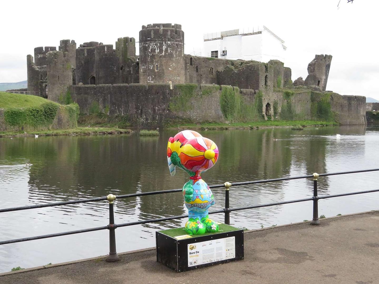
  • 0 kmCaerphilly Castle (castle)
  • 3.7 kmBattlefield Live (attraction)
  • 9 kmMachen Corn Mill (ruins)
  • 29 kmStay Balanced Alpaca Experiences (attraction)
  • 32.2 kmWhitson Court (castle)
  • 51 kmCastle Mound (viewpoint)

At the start

  • Two Shot Social · café · 50 m
  • Glanmor's Bakery · bakery · 80 m
  • Jake's Ice Cream & Co · ice cream · 30 m
  • The Courthouse · pub · 50 m
  • Rosita's Cafe and Bar · café · 240 m

At the finish

  • Costcutter · convenience store · 590 m

Stay after this ride

  • The Beaufort Hotel · hotel · 3.6 km from the finish
  • St Pierre Country Club · hotel · 3.6 km from the finish

Practical information

Surface
Paved
Route shape
Point to point
Riding time
4 h 38 min
Best months
Jun to Sep — daily highs of 18–20 °C in those months

Know before you go

  • Longest stretch without café, shop or water: 12.2 km from km 26.1 to 38.3
  • 2.7 km on main roads without cycle lane
  • 10.9 km on roads with 80 km/h or more speed limit
  • 7% of route on gravel or unpaved surface

Routes are for inspiration. Roads, surfaces and conditions change — check locally and ride within your limits.

2 photographs from the road

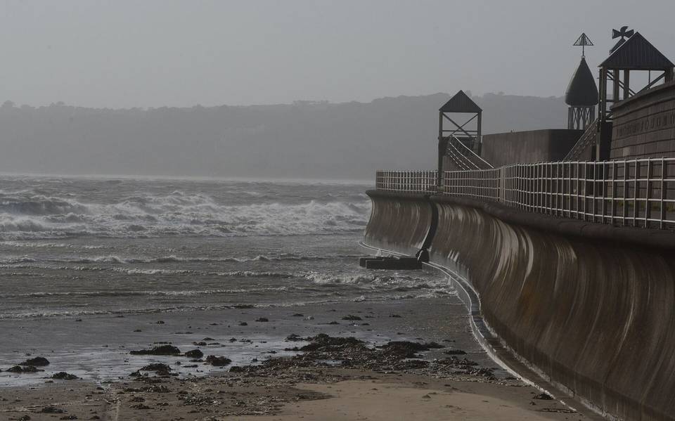
Photo: Lewis Clarke · CC BY-SA 2.0 · Wikimedia Commons · Photo: Gareth James · CC BY-SA 2.0 · Wikimedia Commons

Stage of

More rides from Caerphilly