
Cyclists.com

Swansea to Caerphilly

Swansea, Swansea, United KingdomRoad

Signed route The waymarked EuroVelo 1 (Wales section) (EuroVelo EV1), traced from OpenStreetMap and measured against the terrain model; no member has recorded it yet. Stage 4 of 5 of the EuroVelo 1 (Wales section). Ridden it? Add your recording and photos.

85 km
Distance
520 m
Elevation gain
Moderate
Difficulty
Paved
Surface
Download GPXMap

Elevation profile

Total ascent
520 m
Distance
85 km
050100150200250m0 km20406085 km212 m · highest, at 54.4 kmStartFinish

Route overview

Suitable for riders prepared for moderate climbs and mixed surfaces over 85 km.

Stage 4 of 5 of the EuroVelo 1 (Wales section): 85.0 km from Swansea to Caerphilly with 520 m of climbing, on the signed route.

Starting in Swansea, the route heads northeast passing through St Thomas, Port Tennant, and Jersey Marine before reaching Briton Ferry and then Baglan. The road surface is mostly paved (85%) with some gravel sections (13%) mainly between km 12 and beyond. The route includes 13 km on minor roads and quiet streets, 4.4 km on main roads (4.8 km of these without cycle lanes) and 50.3 km on cycle paths or lanes, offering a mix of riding environments. Climbing happens mainly in three moderate sections: a 2.6 km hill from 24.3 km gaining 94 m, a 3.3 km climb from 48.6 km up to 209 m elevation, and a shorter 2.1 km climb from 61.3 km with a gain of 43 m. The highest point is reached near 52 km at 211 m. Along the route are 18 places including towns and villages where food and drink can be found: cafés, pubs, and several supermarkets. After Aberkenfig at 45.8 km there is a longest stretch of 5.8 km without café, shop, or water. Toilets and water points are available at several locations along the way with a water tap at the start. Refuel options include cafés near the start, at Briton Ferry, and at Caerphilly finish, plus multiple supermarkets and petrol stations punctuate the path. Bailout points at stations and ferry are available including Baglan, Port Talbot Parkway, Tondu, and Pontyclun. This route travels under Warren Hill near km 10, past Margam Abbey near 25 km, and finishes close to Caerphilly Castle.

Highlights

  • Warren Hill near 10 km
  • Three main climbs with max gradient 5.1%
  • Longest descent of 2.2 km dropping 102 m
  • Caerphilly Castle near finish

Along the route

Measured from the recorded track and OpenStreetMap.

Places passed

  1. St Thomas 2.1 km
  2. Port Tennant 2.9 km
  3. Jersey Marine 6.9 km
  4. Briton Ferry 10.2 km
  5. Baglan 12.1 km
  6. Baglan Moors 12.8 km
  7. Sandfields 15.6 km
  8. Aberavon 18.8 km
  9. Port Talbot 20.1 km
  10. Taibach 21.3 km
  11. Margam 22 km
  12. Coed Hirwaun 30 km
  13. Pyle 32.6 km
  14. Kenfig Hill 33.4 km
  15. Cefn Cribwr 35.6 km
  16. Cwm Ffoes 36.4 km
  17. Tondu 39.8 km
  18. Aberkenfig 40 km
  19. Sarn 41.2 km
  20. Brynmenyn 42.4 km
  21. Bryncethin 42.6 km
  22. Blackmill 45.8 km
  23. Hendreforgan 50.8 km
  24. Tonyrefail 53.5 km
  25. Ynysmaerdy 57.7 km
  26. Llantrisant 59 km
  27. Talbot Green 59.6 km
  28. Beddau 63.1 km
  29. Llantwit Fardre 65.7 km
  30. Efail Isaf 65.7 km
  31. Church Village 66.7 km
  32. Tonteg 67.9 km
  33. Hawthorn 69.8 km
  34. Rhydyfelin 73.7 km
  35. Upper Boat 75.4 km
  36. Nantgarw 77.7 km
  37. St Martins 80.5 km
  38. Caerphilly 81.2 km

Climbs

ClimbStarts atLengthGainAverageMaxTop
24.3 km2.6 km94 m3.6 %5 %105 m
48.6 km3.3 km86 m2.7 %5.1 %209 m
61.3 km2.1 km43 m2.1 %3 %97 m

High point 211 m at 52 km; low point 3 m. Passes beneath Warren Hill.

What this ride is like

Measured from OpenStreetMap along the track and the elevation profile.

Roads
59% cycle path · 11% minor road · 11% quiet street · 5% main road
Main roads
4.8 km on main roads without a cycle lane — likely busier
Fast roads
1.1 km on roads with a limit of 80 km/h or more
Cycle paths
50.3 km on cycle paths or roads with a cycle lane
Surface
85% paved · 13% gravel or unpaved
Gradient
16% climbing · 10% descending · 74% flat
Longest descent
2.2 km from 54.4 km, dropping 102 m

Along the way

Within a few hundred metres of the track, from OpenStreetMap. Opening hours change — treat this as where to look, not a promise.

Food, water and shops

  1. 0 kmWater tap · 240 m off route
  2. 1.6 kmDaily Grind · café · 30 m off route
  3. 1.7 kmKevin Thomas Pharmacy · pharmacy · 70 m off route
  4. 7.5 kmShell · petrol station · 60 m off route
  5. 16 kmMurco · petrol station · 100 m off route
  6. 18.6 kmJordanna's Cafe · café · 120 m off route
  7. 21.1 kmAldi · supermarket · 80 m off route
  8. 25.2 kmToilets · 120 m off route
  9. 28.8 kmDrinking Water · drinking water · 200 m off route
  10. 39.8 kmTexaco · petrol station · 170 m off route
  11. 40.3 kmBikefanatic · bike shop · 90 m off route
  12. 45.8 kmLondis · convenience store · on the route
  13. 59.4 kmBradleys Coffee · café · 40 m off route
  14. 60 kmSainsbury's · supermarket · 160 m off route
  15. 71.3 kmHoffi Coffi · café · 70 m off route
  16. 72.1 kmDrinking water · on the route
  17. 74.8 kmAldi · supermarket · 130 m off route
  18. 81.2 kmToilets · 40 m off route

Need to bail out?

  • 0.2 kmTawe River Cruises (ferry), 190 m off route
  • 12.8 kmBaglan (station), 370 m off route
  • 20.1 kmPort Talbot Parkway (station), 250 m off route
  • 32.6 kmPyle (station), 1.3 km off route
  • 40.3 kmTondu (station), 170 m off route
  • 60 kmPontyclun (station), 1.1 km off route
  • 71.4 kmTreforest (station), 70 m off route
  • 80.8 kmAber (station), 270 m off route

Whether bikes are carried depends on the service — check before relying on it.

Worth a stop

  • 10.2 kmWarren Hill (peak, 44.6 m)
  • 25.4 kmMargam Abbey (archaeological site)
  • 34.9 kmCefn Cribwr Ironworks (ruins)
  • 38.5 kmHide (viewpoint)
  • 45.8 kmWar Memorial (monument)
  • 71 kmPicnic Area (picnic site)

At the start

  • El Pescador · café · 60 m
  • Co-op Food · convenience store · 50 m
  • The Observatory · café · 380 m
  • Tawe River Cruises · ferry · 280 m
  • Gigi Gao‘s Favourite Authentic Chinese · restaurant · 300 m

At the finish

  • Two Shot Social · café · 50 m
  • Glanmor's Bakery · bakery · 80 m
  • Jake's Ice Cream & Co · ice cream · 30 m
  • The Courthouse · pub · 50 m
  • ACME Burger · fast food · 20 m

Stay after this ride

  • Travelodge Caerphilly · hotel · 1.7 km from the finish
  • Premier Inn · hotel · 1.7 km from the finish
  • The Cottage Guest House · guest house · 2.0 km from the finish
  • New House Country Hotel · hotel · 2.8 km from the finish

Practical information

Surface
Paved
Route shape
Point to point
Riding time
6 h 04 min
Best months
Jun to Sep — daily highs of 18–19 °C in those months

Know before you go

  • 5.8 km longest stretch without café, shop or water after 45.8 km
  • 4.8 km on main roads without cycle lanes
  • 1.1 km on roads with speed limits of 80 km/h or more
  • 13% gravel or unpaved surface

Routes are for inspiration. Roads, surfaces and conditions change — check locally and ride within your limits.

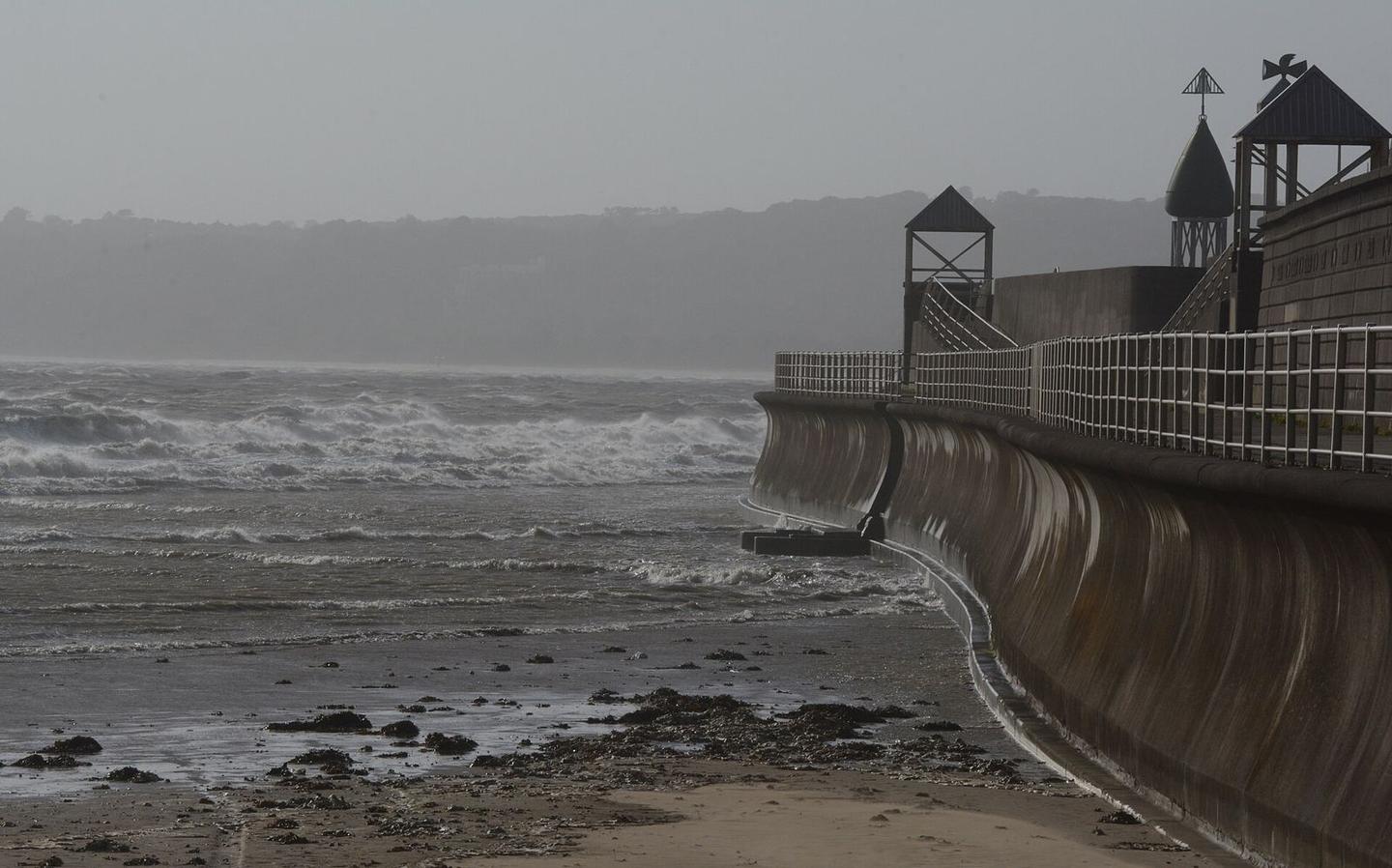
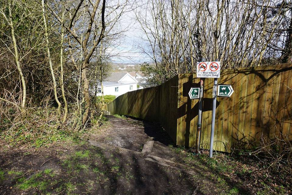
2 photographs from the road

Photo: Clint Budd from About 15 miles North of Swansea, Wales · CC BY 2.0 · Wikimedia Commons · Photo: John H Darch · CC BY-SA 2.0 · Wikimedia Commons · Photo: Simon Mortimer · CC BY-SA 2.0 · Wikimedia Commons

Stage of

More rides from Swansea