Cyclists.com

Carmarthen to Swansea

Carmarthen, Carmarthenshire, United KingdomRoad

Signed route The waymarked EuroVelo 1 (Wales section) (EuroVelo EV1), traced from OpenStreetMap and measured against the terrain model; no member has recorded it yet. Stage 3 of 5 of the EuroVelo 1 (Wales section). Ridden it? Add your recording and photos.

64 km
Distance
272 m
Elevation gain
Moderate
Difficulty
Paved
Surface
Download GPXMap

Elevation profile

Total ascent
272 m
Distance
64 km
050100150m0 km204064 km128 m · highest, at 9.9 kmStartFinish

Route overview

Suitable for riders seeking a medium-distance ride with moderate climbing and mixed surfaces.

Stage 3 of 5 of the EuroVelo 1 (Wales section): 63.9 km from Carmarthen to Swansea with 272 m of climbing, on the signed route.

The ride starts in Carmarthen and quickly passes through Llangunnor and Croesyceiliog. The profile features a main climb beginning at 2.4 km, lasting 3.4 km, rising 108 m at an average gradient of 3.2% with a max of 7.3%, reaching 116 m height. The highest point of the route is 128 m at 9.9 km. The route then descends over 3.4 km dropping 118 m. It passes through several places including Ferryside, Kidwelly, Pembrey, Burry Port, Llanelli, and continues to Swansea. The surface is mainly paved (89%), with some gravel or unpaved sections (7%) and a small unmapped portion (4%). The route uses a mix of cycle paths (33 km), minor roads (21 km), main roads (3.1 km), quiet streets (3 km), and paths (2.8 km). Main roads without a cycle lane total 3.1 km, and 1.1 km are on fast roads with posted limits of 80 km/h or more. Significant named cycle paths include 15.4 km on the Millennium Coastal Path, 6.3 km on the Clyne Cycle Path, and 3.2 km on the Swansea Bay Cycle Path. Facilities along the route include cafés, pubs and supermarkets spread regularly, with the longest stretch without a café, shop or water lasting 8.3 km between 5.6 km and 13.9 km. There are railway stations in Carmarthen, Ferryside, Kidwelly, Pembrey and Burry Port, Llanelli, and Gowerton where one can bail out. Water tap is available near the end at 62.7 km in Swansea. Bike shops and repair stands are also located near the start and towards the end. Toilets are located at multiple points, often close to cafés and shops.

Highlights

  • Longest stretch on Millennium Coastal Path (15.4 km)
  • Main climb rising 108 m at 3.2% average gradient
  • Passes through historic towns: Carmarthen, Kidwelly, Llanelli
  • Cycle paths total 33 km of the route

Along the route

Measured from the recorded track and OpenStreetMap.

Places passed

  1. Croesyceiliog 4.1 km
  2. Ferryside 14.1 km
  3. St. Ishmael 16.4 km
  4. Kidwelly 21.5 km
  5. Pembrey 28.1 km
  6. Burry Port 30.1 km
  7. Pwll 34.3 km
  8. Sandy 36 km
  9. Llanelli 37.2 km
  10. Seaside 37.2 km
  11. Machynys 38.8 km
  12. Trostre 42.4 km
  13. Llwynhendy 42.9 km
  14. Bynea 46.4 km
  15. Loughor 47.8 km
  16. Upper Loughor 48.4 km
  17. Gowerton 50.9 km
  18. Woodland Park 52 km
  19. Dunvant 53.9 km
  20. Upper Killay 54.7 km
  21. Derwen Fawr 57.2 km
  22. Lower Sketty 58 km
  23. Blackpill 58.4 km
  24. Singleton 59.7 km
  25. Brynmill 60.8 km
  26. Uplands 61.1 km

Climbs

ClimbStarts atLengthGainAverageMaxTop
2.4 km3.4 km108 m3.2 %7.3 %116 m

High point 128 m at 9.9 km; low point 1 m.

What this ride is like

Measured from OpenStreetMap along the track and the elevation profile.

Roads
52% cycle path · 33% minor road · 5% main road · 5% quiet street
Main roads
3.1 km on main roads without a cycle lane — likely busier
Fast roads
1.1 km on roads with a limit of 80 km/h or more
Cycle paths
32.8 km on cycle paths or roads with a cycle lane
Main roads used
Millennium Coastal Path (15 km), Clyne Cycle Path (6 km), Swansea Bay Cycle Path (3 km)
Surface
Paved throughout
Gradient
10% climbing · 11% descending · 79% flat
Steep sections
0.5 km over 5% · steepest 500 m averages 6.6% at 5.3 km
Longest descent
3.4 km from 9.9 km, dropping 118 m

Along the way

Within a few hundred metres of the track, from OpenStreetMap. Opening hours change — treat this as where to look, not a promise.

Food, water and shops

  1. 0 kmWalter Lloyd · pharmacy · 220 m off route
  2. 0.5 kmBeiciau Hobbs Bikes · bike shop · 70 m off route
  3. 1.2 kmAldi · supermarket · 110 m off route
  4. 5.6 kmPeckish · café · 370 m off route
  5. 13.9 kmToilets · on the route
  6. 21.4 kmToilets · 50 m off route
  7. 21.7 kmMurco · petrol station · on the route
  8. 30.3 kmThe Co-operative Food · supermarket · 170 m off route
  9. 30.6 kmToilets · 30 m off route
  10. 37.2 kmWell Pharmacy · pharmacy · 750 m off route
  11. 37.5 kmSpar · supermarket · 360 m off route
  12. 46.6 kmLewis Arms · pub · 70 m off route
  13. 50.4 kmTesco · petrol station · 40 m off route
  14. 51.2 kmMotley Pie & Coffee · café · on the route
  15. 55.5 kmThe Railway Inn · pub · 50 m off route
  16. 59.7 kmToilets · 80 m off route
  17. 62.7 kmEl Pescador · café · 60 m off route
  18. 62.7 kmWater tap · 240 m off route

Need to bail out?

  • 0.3 kmCarmarthen (station), on the route
  • 13.9 kmFerryside (station), 30 m off route
  • 20.7 kmKidwelly (station), 290 m off route
  • 30.3 kmPembrey and Burry Port (station), 200 m off route
  • 37.2 kmLlanelli (station), 690 m off route
  • 51.1 kmGowerton (station), 120 m off route
  • 62.7 kmTawe River Cruises (ferry), 280 m off route

Whether bikes are carried depends on the service — check before relying on it.

Worth a stop

  • 0.5 kmCarmarthen Castle (castle)
  • 30.3 kmAmelia Earhart Monument (monument)
  • 43.5 kmWater Lab (attraction)
  • 47.4 kmLoughor Castle (castle)
  • 50.9 kmBethel Calvinistic Methodist Chapel (ruins)
  • 58.4 kmThe Mill Bridge (attraction)

At the start

  • Carmarthen · station · 250 m
  • Cowpots · café · 150 m
  • Dexters · restaurant · 50 m
  • Jenkins Bakery · bakery · 200 m
  • Caffè Nero · café · 210 m

At the finish

  • El Pescador · café · 60 m
  • Co-op Food · convenience store · 50 m
  • Coast Line Cafe · café · 410 m
  • Tesco · supermarket · 380 m
  • Tawe River Cruises · ferry · 280 m

Stay after this ride

  • Swansea Marriott Hotel · hotel · 150 m from the finish
  • Tudor Court Hotel · hotel · 850 m from the finish
  • Beachcomber · guest house · 1.0 km from the finish
  • Capstan House · hotel · 990 m from the finish
  • Travelodge · hotel · 510 m from the finish

Practical information

Surface
Paved
Route shape
Point to point
Riding time
4 h 34 min
Best months
May to Sep — daily highs of 16–19 °C in those months

Know before you go

  • Longest stretch without café, shop or water 8.3 km between 5.6 km and 13.9 km
  • 3.1 km on main roads without cycle lanes
  • 1.1 km on roads with speed limits of 80 km/h or more
  • 7% of the route is gravel or unpaved

Routes are for inspiration. Roads, surfaces and conditions change — check locally and ride within your limits.

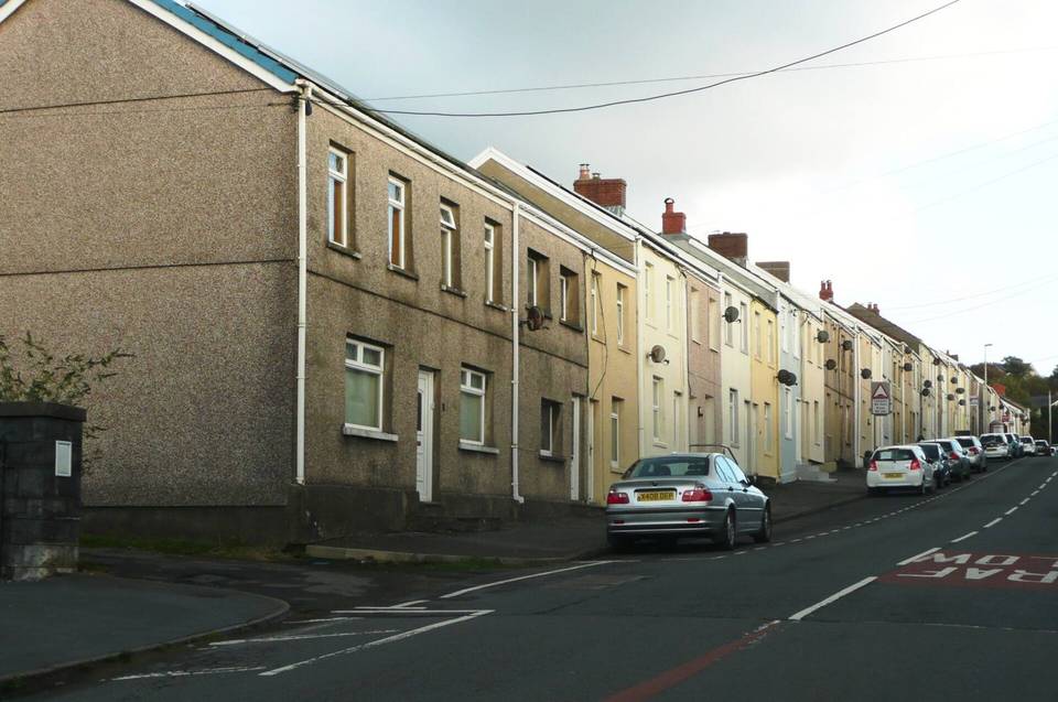
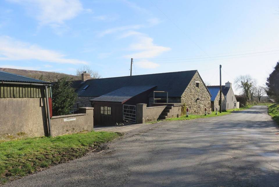
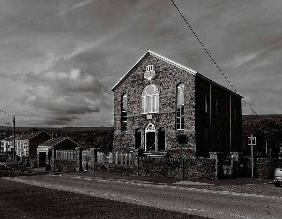
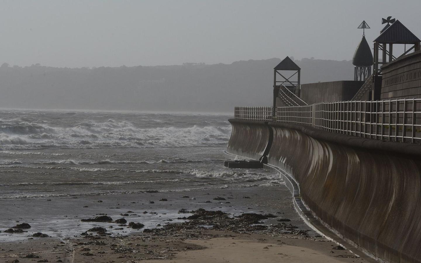
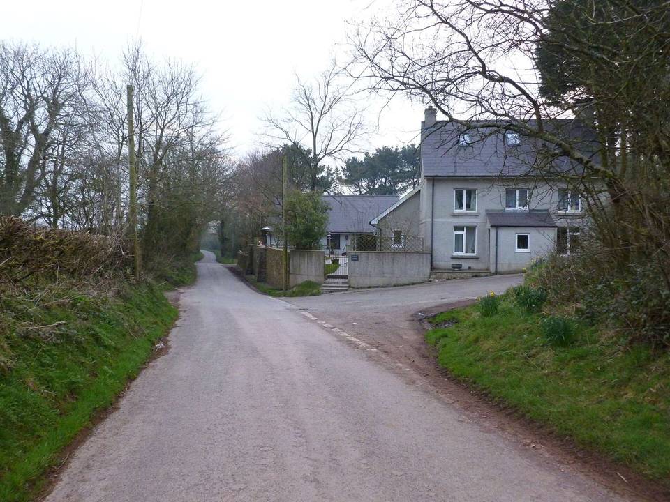
2 photographs from the road

Photo: Clint Budd from About 15 miles North of Swansea, Wales · CC BY 2.0 · Wikimedia Commons · Photo: M J Roscoe · CC BY-SA 2.0 · Wikimedia Commons · Photo: Gareth James · CC BY-SA 2.0 · Wikimedia Commons

Stage of