
Cyclists.com

National Cycle Network Route (part)

Llanelli, Carmarthenshire, United KingdomRoad

Signed route The waymarked National Cycle Network Route (part) (National Cycle Network 47), traced from OpenStreetMap and measured against the terrain model; no member has recorded it yet. Ridden it? Add your recording and photos.

115 km
Distance
1,423 m
Elevation gain
Hard
Difficulty
Paved
Surface
Download GPXMap

Elevation profile

Total ascent
1,423 m
Distance
115 km
0100200300m0 km255075100115 km284 m · highest, at 77.7 kmStartFinish

Route overview

Suitable for riders prepared for moderate distance and climbing with some sustained gradients

115.2 km National Cycle Network route from Llanelli to Fishguard with 1423 m climbing in Carmarthenshire.

This part of the National Cycle Network starts near Llanelli at Seaside and heads northwest passing through places including Furnace, Horeb, and Cross Hands. The route climbs significantly early on with a 3.7 km ascent gaining 87 m at an average 2.3% gradient, then continues through Felinfoel before reaching Carmarthen at 39.5 km. The middle section has several climbs with gradients up to 6% and short steeper pitches up to 11.5%, notably between km 45 and 65 near Bronwydd Arms, Trelech, and Dinas. The highest point is near km 74.7 at 283 m beneath peaks such as Frenni Fawr and Rhos Goch. Most of the ride is on minor roads (68%), cycle paths (17%) and some main roads (7%), with 7.7 km of main roads lacking cycle lanes. There is a continuous stretch of 22.1 km between about km 42 and 64 without cafés, shops, or water, so riders should prepare. The route ends in Fishguard after passing through places like Rosebush, Puncheston and Llanychaer Bridge. Along the way, there are pubs, cafés, supermarkets and a few bike shops and petrol stations scattered mostly near towns. Several railway stations offer bailout options including Llanelli, Carmarthen, Bronwydd Arms and Fishguard and Goodwick. Toilets are available near km 26 and close to the end around km 110. The surface is mainly paved (97%) with minor gravel (2%).

Highlights

  • Peak elevation 283 m near km 74.7 beneath Frenni Fawr
  • Climb of 2.5 km at 6% average gradient after km 45
  • Longest descent of 3.8 km from km 106.1 dropping 204 m
  • Longest named road: Swiss Valley Trail, 15 km

Along the route

Measured from the recorded track and OpenStreetMap.

Places passed

  1. Tyrfran 2.6 km
  2. Llanerch 2.6 km
  3. Felinfoel 3.3 km
  4. Horeb 7.8 km
  5. Five Roads 8.1 km
  6. Cynheidre 9.5 km
  7. Upper Tumble 16.5 km
  8. Tumble 16.7 km
  9. Cross Hands 18.7 km
  10. Cwm-y-glo 18.9 km
  11. Cefneithin 19.9 km
  12. Foelgastell 21.6 km
  13. Porthyrhyd 23.8 km
  14. Llangunnor 38.2 km
  15. Carmarthen 39.5 km
  16. Cwmoernant 40.6 km
  17. Abergwili 41.4 km
  18. Bronwydd Arms 45.8 km
  19. Newchurch 49.3 km
  20. Talog 55.7 km
  21. Trelech-a'r-Bettws 58.8 km
  22. Pen-y-bont 59.1 km
  23. Trelech 64.2 km
  24. Dinas 65.2 km
  25. Rhos-y-llyn 69 km
  26. Tegryn 71.2 km
  27. Crymych 76.5 km
  28. Mynachlogddu 82.3 km
  29. Rosebush 90 km
  30. Henry's Moat 94.6 km
  31. Tufton 95.1 km
  32. Castlebythe 97.2 km
  33. Puncheston 99.1 km
  34. Llanychaer Bridge 106.4 km
  35. Lower Town 109.4 km
  36. Fishguard 109.9 km

Climbs

ClimbStarts atLengthGainAverageMaxTop
1 km3.7 km87 m2.3 %3.4 %93 m
42.4 km1.7 km53 m3.1 %5.3 %71 m
45.2 km2.5 km152 m6 %11.5 %196 m
55.9 km2.3 km90 m3.9 %6.8 %178 m
59.2 km1.5 km69 m4.6 %8.3 %212 m
65 km1.5 km60 m4.1 %8.1 %233 m
82.7 km1.6 km42 m2.7 %4 %241 m
98.5 km3.6 km131 m3.6 %6.2 %272 m

High point 283 m at 74.7 km; low point 6 m. Passes beneath Mount Hill, Bryn Tanerdy, Bryn-Towy.

What this ride is like

Measured from OpenStreetMap along the track and the elevation profile.

Roads
68% minor road · 17% cycle path · 7% main road · 6% quiet street
Main roads
7.7 km on main roads without a cycle lane — likely busier
Fast roads
34.7 km on roads with a limit of 80 km/h or more
Cycle paths
19.1 km on cycle paths or roads with a cycle lane
Main roads used
Swiss Valley Trail (15 km), B4313 (5 km), Heol y Foel (4 km)
Surface
Paved throughout
Gradient
30% climbing · 26% descending · 44% flat
Steep sections
5.2 km over 5% · 0.7 km over 8% · 0.3 km over 10% · steepest 500 m averages 10.4% at 48 km
Longest descent
3.8 km from 106.1 km, dropping 204 m

Along the way

Within a few hundred metres of the track, from OpenStreetMap. Opening hours change — treat this as where to look, not a promise.

Longest stretch without a café, shop or water: 22 km, from 42 km to 64 km.

Food, water and shops

  1. 0.7 kmWell Pharmacy · pharmacy · 440 m off route
  2. 1.7 kmThe Colliers · pub · 80 m off route
  3. 3.1 kmTexaco · petrol station · 110 m off route
  4. 7.8 kmWaun Wyllt Inn · pub · 100 m off route
  5. 16.7 kmHenleys · café · 130 m off route
  6. 16.7 kmNigel Williams Pharmacy · pharmacy · 140 m off route
  7. 23.8 kmPrince of Wales · pub · on the route
  8. 26.1 kmToilets · 190 m off route
  9. 38.9 kmAldi · supermarket · 150 m off route
  10. 39.5 kmTexaco · petrol station · 120 m off route
  11. 42.1 kmCosta · café · 170 m off route
  12. 42.1 kmRenal Dialysis Unit · clinic · on the route
  13. 76.5 kmPasta Boy · café · 40 m off route
  14. 76.7 kmMorrisons Daily · convenience store · 110 m off route
  15. 95.1 kmTufton Arms · pub · 40 m off route
  16. 99.1 kmThe Drovers Arms · pub · 40 m off route
  17. 110 kmCo-op Food · supermarket · 130 m off route
  18. 110.1 kmFferyllfa Lloyds Pharmacy · pharmacy · 50 m off route

Need to bail out?

  • 0.5 kmLlanelli (station), 1.1 km off route
  • 39.5 kmCarmarthen (station), 190 m off route
  • 45.8 kmBronwydd Arms (station), 250 m off route
  • 111.2 kmFishguard and Goodwick (station), 1.1 km off route

Whether bikes are carried depends on the service — check before relying on it.

Worth a stop

  • 26.1 kmIce House (attraction)
  • 39.5 kmCarmarthen Castle (castle)
  • 68.5 kmCrug Bach Round Barrow (archaeological site)
  • 75 kmRhos Goch Round Barrow (archaeological site)
  • 97.2 kmCastell Mound (archaeological site)

At the start

  • The Sandpiper · pub · 480 m
  • Frankie's Kitchen · restaurant · 790 m
  • SNA Late Shop · convenience store · 930 m

At the finish

  • Creswell's Cafe · café · 730 m
  • Elephant Pie Tearooms · café · 840 m
  • Nisa Extra · supermarket · 770 m
  • Co-op Food · supermarket · 820 m
  • Fishguard Kebabs · fast food · 710 m

Stay after this ride

  • Abergwaun Hotel · hotel · 960 m from the finish
  • Cartref · hotel · 930 m from the finish
  • The Tara Hotel · guest house · 590 m from the finish
  • Seaview Hotel · hotel · 490 m from the finish
  • Pentower Guest House · guest house · 1.3 km from the finish

Practical information

Surface
Paved
Route shape
Point to point
Riding time
8 h 14 min
Best months
Jun to Sep — daily highs of 17–19 °C in those months

Know before you go

  • 22.1 km with no café, shop or water between km 42.1 and 64.2
  • 7.7 km on main roads without a cycle lane
  • 34.7 km on roads with speed limit 80 km/h or higher

Routes are for inspiration. Roads, surfaces and conditions change — check locally and ride within your limits.

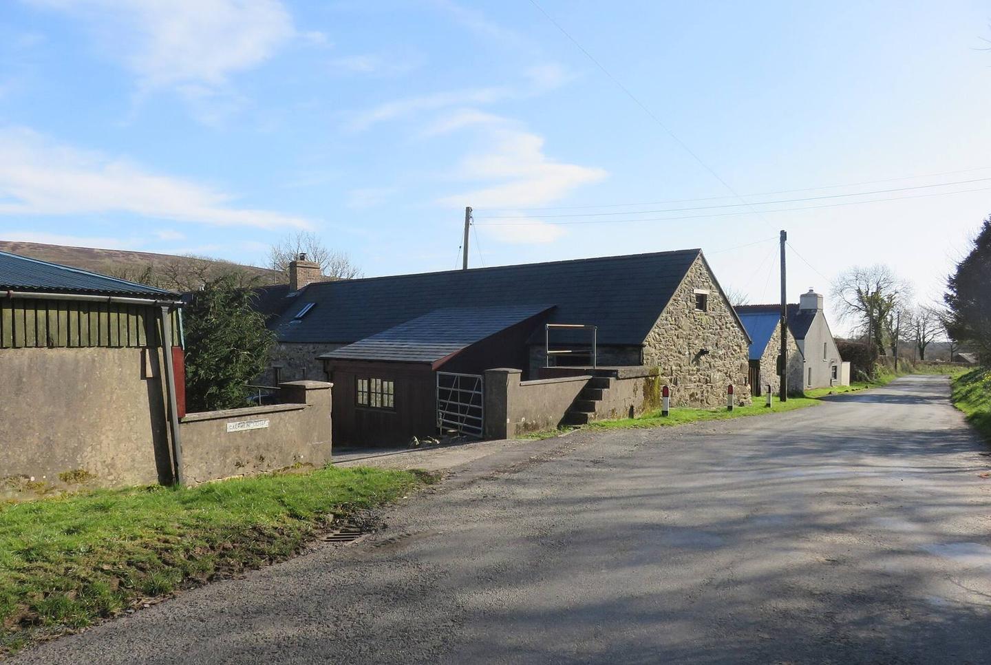
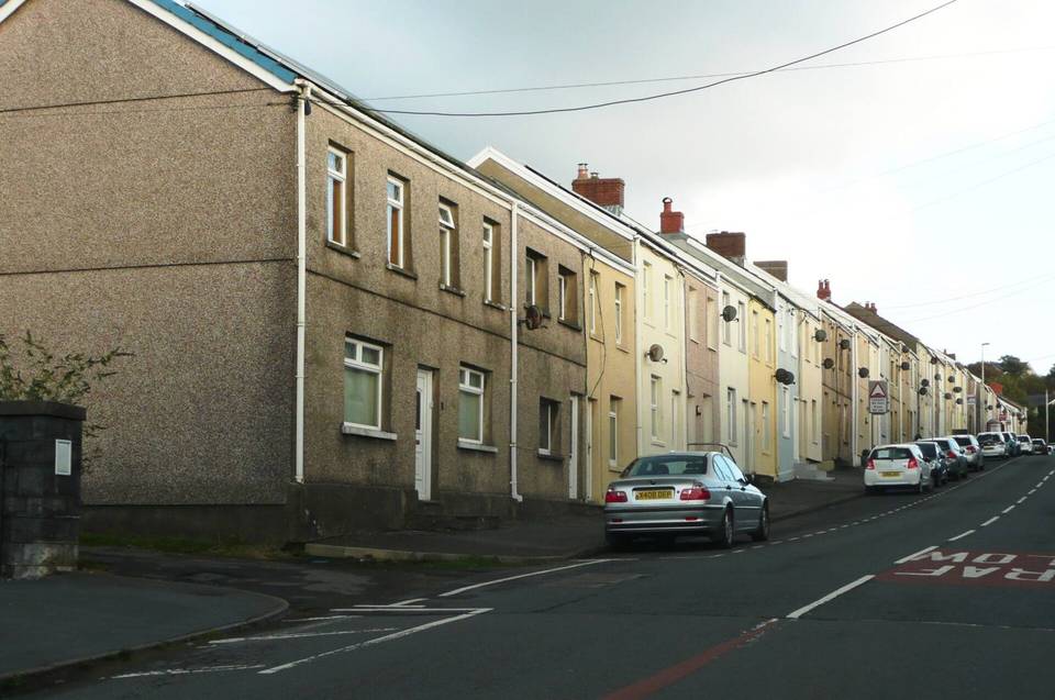
2 photographs from the road

Photo: Natasha Ceridwen de Chroustchoff · CC BY-SA 2.0 · Wikimedia Commons · Photo: Gareth James · CC BY-SA 2.0 · Wikimedia Commons · Photo: M J Roscoe · CC BY-SA 2.0 · Wikimedia Commons

More rides from Llanelli