Cyclists.com

Pembroke Dock to Carmarthen

Pembroke Dock, Pembrokeshire, United KingdomRoad

Signed route The waymarked EuroVelo 1 (Wales section) (EuroVelo EV1), traced from OpenStreetMap and measured against the terrain model; no member has recorded it yet. Stage 2 of 5 of the EuroVelo 1 (Wales section). Ridden it? Add your recording and photos.

77 km
Distance
869 m
Elevation gain
Hard
Difficulty
Paved
Surface
Download GPXMap

Elevation profile

Total ascent
869 m
Distance
77 km
050100150200m0 km20406077 km177 m · highest, at 40.5 kmStartFinish

Route overview

Suitable for cyclists prepared for moderate distance and nearly 900 m climbing over varied terrain.

Stage 2 of 5 of the EuroVelo 1 (Wales section): 76.7 km from Pembroke Dock to Carmarthen with 869 m of climbing, on the signed route.

Starting at Pembroke Dock (0 km), the route heads northeast passing through Monkton (3.8 km), Pembroke (4.4 km), and Lamphey (8 km). Early climbs include a 1.4 km ascent with 42 m gain starting at 0.1 km and a 2.3 km climb with 69 m gain just after Lamphey. After Lamphey the road passes St Florence (15.1 km) and then climbs 1.4 km gaining 61 m between 22 and 23.4 km near Tenby (22.2 km). Beyond Tenby, there is a 1.6 km climb gaining 55 m near Saundersfoot (26.9 km) followed by a longer 2.8 km climb of 128 m just after Amroth (31.1 km). The profile then includes a 2.1 km climb gaining 85 m past Marros (36.1 km). Next is a 2 km climb with 61 m gain after Laugharne (46.1 km). The last major climb is 4.3 km long with 122 m gain around Llangynog (65.2 km) followed by a descent and flatter finish into Carmarthen (74.8 km). The road surface is mostly paved (98%) on minor roads (72%) with some cycle path sections (12%) and quiet streets (7%). Some short stretches (4.3 km) on main roads lack cycle lanes, and 1.7 km are fast roads (80 km/h or above). Cafés, pubs, shops and toilets are available at many towns including Pembroke Dock, Pembroke, Tenby, Saundersfoot, Amroth, Laugharne, St Clears, and Carmarthen, but there is a 15.7 km stretch without cafe, shop or water between 56.6 km and 72.3 km. Bailout points with stations are at Pembroke Dock (0 km), Lamphey (7.7 km), Tenby (22.3 km) and Carmarthen (74.8 km).

Highlights

  • Climbs up to 8.7% gradient near Amroth
  • Pembroke Dock and Pembroke towns early on
  • Coastal towns Tenby and Saundersfoot
  • Longest descent of 3.2 km after Laugharne

Along the route

Measured from the recorded track and OpenStreetMap.

Places passed

  1. Monkton 3.8 km
  2. Pembroke 4.4 km
  3. Lamphey 8 km
  4. St Florence 15.1 km
  5. Tenby 22.2 km
  6. New Hedges 24.4 km
  7. Saundersfoot 26.9 km
  8. Wiseman's Bridge 29.1 km
  9. Amroth 31.1 km
  10. Marros 36.1 km
  11. Llansadwrnen 44.2 km
  12. Laugharne 46.1 km
  13. St Clears 54.8 km
  14. Llanfihangel 56.7 km
  15. Llangynog 65.2 km
  16. Llanllwch 71.4 km
  17. Johnstown 72.9 km

Climbs

ClimbStarts atLengthGainAverageMaxTop
0.1 km1.4 km42 m3 %4.8 %48 m
8.3 km2.3 km69 m3 %5.9 %88 m
22 km1.4 km61 m4.3 %7.5 %86 m
28.5 km1.6 km55 m3.4 %5.9 %69 m
31.5 km2.8 km128 m4.6 %8.7 %138 m
37.2 km2.1 km85 m4.1 %7.3 %176 m
46.4 km2 km61 m3.1 %5.2 %74 m
60.7 km4.3 km122 m2.8 %5.8 %127 m

High point 177 m at 39.6 km; low point 4 m.

What this ride is like

Measured from OpenStreetMap along the track and the elevation profile.

Roads
72% minor road · 12% cycle path · 7% quiet street · 5% main road
Main roads
4.3 km on main roads without a cycle lane — likely busier
Fast roads
1.7 km on roads with a limit of 80 km/h or more
Cycle paths
9.2 km on cycle paths or roads with a cycle lane
Main roads used
Alltycnap Road (7 km)
Surface
Paved throughout
Gradient
26% climbing · 24% descending · 50% flat
Steep sections
4.5 km over 5% · 0.3 km over 8% · steepest 500 m averages 8.1% at 34.2 km
Longest descent
3.2 km from 44.1 km, dropping 125 m

Along the way

Within a few hundred metres of the track, from OpenStreetMap. Opening hours change — treat this as where to look, not a promise.

Longest stretch without a café, shop or water: 16 km, from 57 km to 72 km.

Food, water and shops

  1. 0.2 kmAsda · petrol station · 40 m off route
  2. 0.3 kmToilets · 90 m off route
  3. 4.8 kmToilets · 110 m off route
  4. 7.7 kmPetrol station · 120 m off route
  5. 9.1 kmThe Rowan Tree Café · café · 100 m off route
  6. 19.7 kmGulf · petrol station · 60 m off route
  7. 22 kmVista at Tenby · café · 50 m off route
  8. 26.8 kmsaundersfoot harbour · toilets · 60 m off route
  9. 27 kmPembrokeshire Pasty and Pie Co. · bakery · on the route
  10. 31.1 kmAmroth Arms · pub · on the route
  11. 31.9 kmToilets · on the route
  12. 46.2 kmSelect Convenience · convenience store · on the route
  13. 46.3 kmToilets · on the route
  14. 46.5 kmThe Ferryman Delicatessen · café · 40 m off route
  15. 53.9 kmSanta Clara · pub · on the route
  16. 56.6 kmValero · petrol station · 70 m off route
  17. 74.2 kmTesco Café · café · 90 m off route
  18. 74.2 kmTesco Pharmacy · pharmacy · 100 m off route

Need to bail out?

  • 0 kmPembroke Dock (station), 160 m off route
  • 7.7 kmLamphey (station), 70 m off route
  • 22.3 kmTenby (station), 320 m off route
  • 74.8 kmCarmarthen (station), 250 m off route

Whether bikes are carried depends on the service — check before relying on it.

Worth a stop

  • 3.9 kmPembroke Castle (castle)
  • 8.3 kmLamphey Bishop's Palace (archaeological site)
  • 31.7 kmAmroth Castle (castle)
  • 46.3 kmLaugharne Castle (castle)
  • 53.6 kmYstrad Cyngen (ruins)
  • 70.7 kmPen Wern-Corgam (peak)

At the start

  • Pembroke Dock · station · 160 m
  • Asda · supermarket · 250 m
  • Cwtch Coffee · café · 290 m
  • Lidl · supermarket · 260 m
  • Seven Spice · restaurant · 120 m

At the finish

  • Cowpots · café · 150 m
  • Dexters · restaurant · 50 m
  • Jenkins Bakery · bakery · 200 m
  • Caffè Nero · café · 210 m
  • Lidl · supermarket · 260 m

Stay after this ride

  • Boars Head Hotel · hotel · 190 m from the finish
  • Hotel Spilman · hotel · 390 m from the finish
  • Ivy Bush Royal Hotel · hotel · 410 m from the finish
  • Old Priory Guest House · guest house · 890 m from the finish

Practical information

Surface
Paved
Route shape
Point to point
Riding time
5 h 29 min
Best months
May to Sep — daily highs of 15–19 °C in those months

Know before you go

  • 15.7 km longest stretch without café, shop or water from 56.6 km
  • 4.3 km on main roads without cycle lane
  • 1.7 km on fast roads with 80 km/h or more speed limit

Routes are for inspiration. Roads, surfaces and conditions change — check locally and ride within your limits.

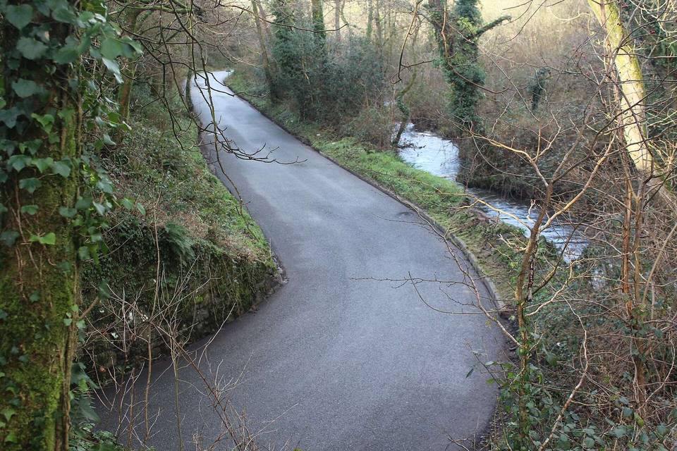
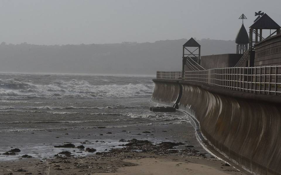
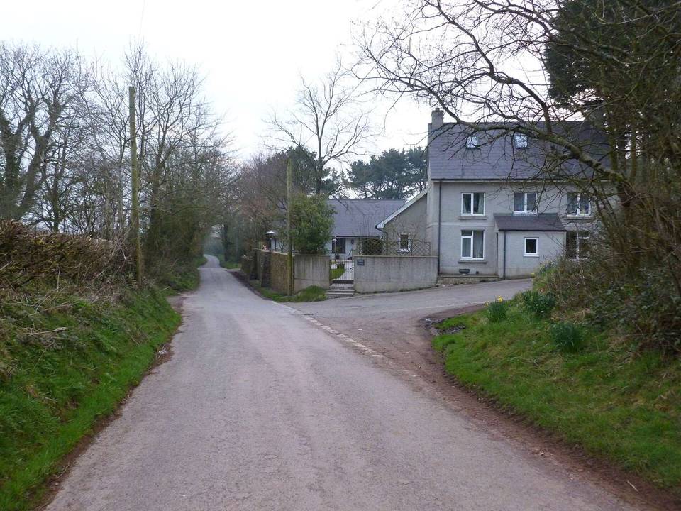
2 photographs from the road

Photo: M J Roscoe · CC BY-SA 2.0 · Wikimedia Commons · Photo: Jeremy Segrott from Cardiff, Wales, UK · CC BY 2.0 · Wikimedia Commons

Stage of