Cyclists.com

Harbour Village to Pembroke Dock

Harbour Village, Pembrokeshire, United KingdomRoad

Signed route The waymarked EuroVelo 1 (Wales section) (EuroVelo EV1), traced from OpenStreetMap and measured against the terrain model; no member has recorded it yet. Stage 1 of 5 of the EuroVelo 1 (Wales section). Ridden it? Add your recording and photos.

82 km
Distance
795 m
Elevation gain
Hard
Difficulty
Paved
Surface
Download GPXMap

Elevation profile

Total ascent
795 m
Distance
82 km
0255075100125150m0 km20406082 km122 m · highest, at 8.3 kmStartFinish

Route overview

Suitable for riders comfortable with an 81.8 km distance and moderate climbing of 795 m.

Stage 1 of 5 of the EuroVelo 1 (Wales section): 81.8 km from Harbour Village to Pembroke Dock with 795 m of climbing, on the signed route.

Starting at Harbour Village near Fishguard, the route heads briefly through Goodwick and Fishguard before climbing steadily for 2.3 km from 1.3 km, gaining 82 m at an average gradient of 3.6%, reaching 84 m elevation. The highest point on the route is at 7.9 km, at 122 m. The ride then continues through villages including St Nicholas, Mathry, and Abercastle, passing beneath Manorowen Hill at 6.3 km. The surface is 98% paved, with no gravel sections. Road types include 66% minor roads, 22% cycle paths, and 8% main roads; 6 km are on main roads without cycle lanes, with 6.8 km on roads with 80 km/h or higher speed limits. Named roads include Welsh Road (6.6 km), Brunel Cycle Route (5.1 km), and A487 (3.8 km). There is a 15.2 km stretch with no café, shop, or water between 3.9 km and 19.1 km, but stops are available before and after this. After Newgale at 46 km, there are further climbs: 1.7 km at 3.7% average, 3.1 km at 2%, and 3.4 km at 3% average gradients near the coast. Places passed include St Davids, Broad Haven, Johnston and Rosemarket before finishing in Pembroke Dock. Facilities at start and finish include stations, cafés, shops, and pubs. The ride has 24% climbing, 20% descending, and 56% flat over varying terrain.

Highlights

  • Climb from 1.3 km with 82 m gain
  • Passing beneath Manorowen Hill at 6.3 km
  • Coastal villages like Abercastle and Broad Haven
  • Finishing at Pembroke Dock with station and amenities

Along the route

Measured from the recorded track and OpenStreetMap.

Places passed

  1. St Nicholas 10.2 km
  2. Carnachenwen 14.1 km
  3. Mathry 14.4 km
  4. Abercastle 17.1 km
  5. Trefin 18.8 km
  6. Llanrhian 21.3 km
  7. St Davids 32.2 km
  8. Whitchurch 37 km
  9. Middle Mill 37.9 km
  10. Penycwm 44.8 km
  11. Newgale 46 km
  12. Nolton Haven 50.1 km
  13. Druidston Haven 51.7 km
  14. Haroldston West 53.3 km
  15. Broad Haven 55.4 km
  16. Sutton 61.6 km
  17. Portfield Gate 62.2 km
  18. Albert Town 64.4 km
  19. Merlin's Bridge 65.1 km
  20. Johnston 70.4 km
  21. Rosemarket 73.6 km
  22. Neyland 76.5 km

Climbs

ClimbStarts atLengthGainAverageMaxTop
1.3 km2.3 km82 m3.6 %5.5 %84 m
47 km1.7 km64 m3.7 %7.9 %73 m
49.9 km3.1 km61 m2 %6.4 %88 m
55.4 km3.4 km101 m3 %4.8 %109 m

High point 122 m at 7.9 km; low point 1 m. Passes beneath Manorowen Hill, Penberry.

What this ride is like

Measured from OpenStreetMap along the track and the elevation profile.

Roads
66% minor road · 22% cycle path · 8% main road · 2% quiet street
Main roads
6.3 km on main roads without a cycle lane — likely busier
Fast roads
6.8 km on roads with a limit of 80 km/h or more
Cycle paths
17.6 km on cycle paths or roads with a cycle lane
Main roads used
Welsh Road (7 km), Brunel Cycle Route (5 km), A487 (4 km)
Surface
Paved throughout
Gradient
24% climbing · 20% descending · 56% flat
Steep sections
1.9 km over 5% · steepest 500 m averages 7.4% at 48.9 km
Longest descent
2.8 km from 8.8 km, dropping 63 m

Along the way

Within a few hundred metres of the track, from OpenStreetMap. Opening hours change — treat this as where to look, not a promise.

Longest stretch without a café, shop or water: 15 km, from 4 km to 19 km.

Food, water and shops

  1. 1.1 kmDolphin Fish & Chips · café · 90 m off route
  2. 1.1 kmTesco Express · convenience store · 80 m off route
  3. 1.1 kmFishguard Harbour Garage · petrol station · 90 m off route
  4. 2 kmFferyllfa Lloyds Pharmacy · pharmacy · 690 m off route
  5. 19.1 kmCaffi Y Ragna · café · on the route
  6. 31.9 kmToilets · on the route
  7. 32.2 kmPebbles Yard Gallery Espresso Bar · café · on the route
  8. 32.2 kmWell Pharmacy · pharmacy · 40 m off route
  9. 32.3 kmNisa Extra · supermarket · 300 m off route
  10. 46.7 kmDrinking water · 40 m off route
  11. 47.4 kmPebbles Café · café · on the route
  12. 55.4 kmThe Ocean Cafe Bar & Restaurant · restaurant · 150 m off route
  13. 55.4 kmToilets · 50 m off route
  14. 55.8 kmYHA Broad Haven Fountain · drinking water · 130 m off route
  15. 70.4 kmFarmhouse Bakery · bakery · 80 m off route
  16. 70.6 kmNisa Local · supermarket · 100 m off route
  17. 76.1 kmEnterprise Cycles · bike shop · 520 m off route
  18. 79.7 kmTesco · petrol station · 30 m off route

Need to bail out?

  • 0 kmFishguard Harbour (station), 90 m off route
  • 70.4 kmJohnston (station), on the route
  • 80 kmPembroke Dock (station), 160 m off route

Whether bikes are carried depends on the service — check before relying on it.

Worth a stop

  • 1.3 kmOcean Lab (attraction)
  • 6.3 kmManorowen Hill (peak)
  • 19.5 kmMelin Trefin Mill (ruins)

At the start

  • Fishguard Harbour · station · 90 m
  • Fishguard Ferry Terminal · ferry · 110 m
  • Fishguard and Goodwick · station · 910 m
  • Dolphin Fish & Chips · café · 930 m
  • Rose and Crown · pub · 850 m

At the finish

  • Pembroke Dock · station · 160 m
  • Tesco · supermarket · 260 m
  • Seven Spice · restaurant · 120 m
  • Station Inn · pub · 170 m
  • Asda · supermarket · 250 m

Stay after this ride

  • Travelodge · hotel · 180 m from the finish
  • Inn Between · guest house · 810 m from the finish
  • Dolphin Hotel · hotel · 830 m from the finish
  • Sleep Well · apartment · 820 m from the finish
  • Glan Y Mor · campsite · 1.3 km from the finish

Practical information

Surface
Paved
Route shape
Point to point
Riding time
5 h 51 min
Best months
Jun to Sep — daily highs of 16–18 °C in those months

Know before you go

  • 15.2 km with no café, shop or water between 3.9 km and 19.1 km
  • 6 km on main roads without a cycle lane
  • 6.8 km on roads with posted speeds of 80 km/h or more

Routes are for inspiration. Roads, surfaces and conditions change — check locally and ride within your limits.

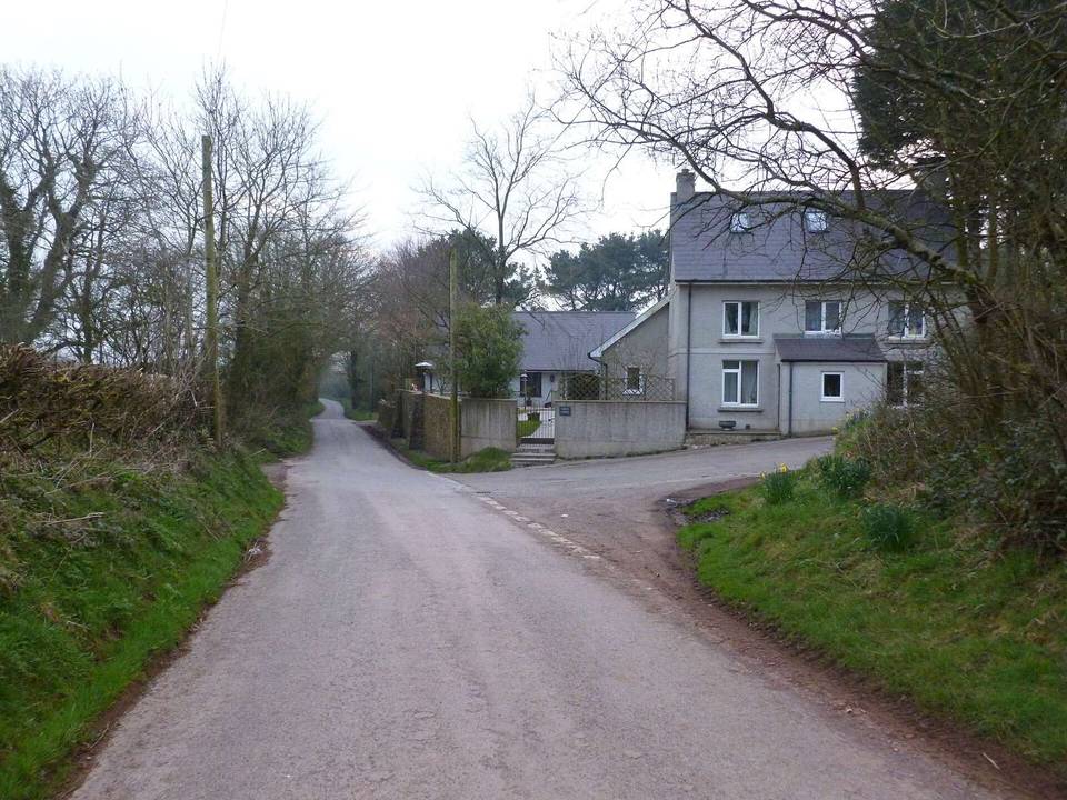
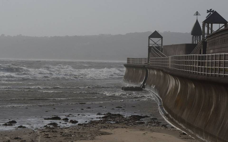
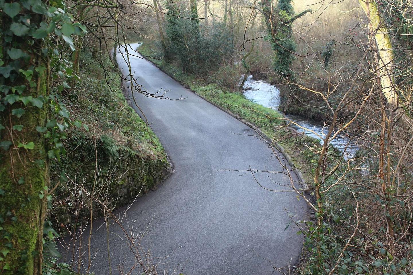
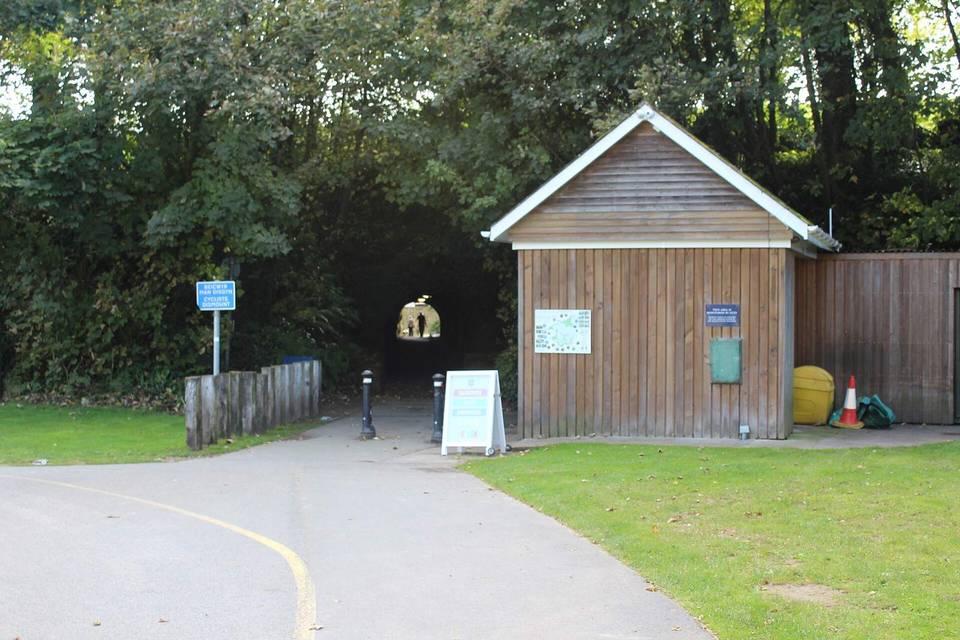
2 photographs from the road

Photo: M J Roscoe · CC BY-SA 2.0 · Wikimedia Commons · Photo: John Lucas · CC BY-SA 2.0 · Wikimedia Commons · Photo: Jeff Gogarty · CC BY-SA 2.0 · Wikimedia Commons

Stage of