Road · United Kingdom
A mountainous 11 km road cycling route from Llanddowror, Carmarthenshire through Laugharne and Llansadwrnen, with 173 m of climbing.
The route runs from Llanddowror past Laugharne at 5.4 km and Llansadwrnen at 7.4 km before finishing at 11.2 km. It starts at an elevation near 12 m at km 5.2 and rises steadily to reach its highest point at 160 m at the finish. The surfaced route is fully paved on minor roads for 82% and main roads for 18%, with 2 km on main roads lacking cycle lanes.
Climbing occurs mainly from km 5.2 over 3.6 km gaining 134 m at an average gradient of 3.7%, with a maximum gradient of 8.8% and a steepest 500 m section at 8.5% near km 6.6. There is also a longest descent of 1.6 km starting from km 3.1 dropping 58 m. For refuelling, The Ferryman Delicatessen café, a convenience shop, drinking water, and toilets are available at around km 5, just off route. There is a longest stretch without café, shop or water of 5.8 km from km 5.4 to 11.2.
Laugharne Castle lies 69 m off route near km 5.2 and may be of interest. No specific petrol stations or bike shops are listed along the route, and no bailout points are noted. The surface is fully paved with no gravel or unpaved sections. No temperature or best season data is available.
| Climb | Starts at | On this ride | Top on this ride |
|---|---|---|---|
| Unnamed climb | 5.2 km | 3.6 km · 134 m · 3.7 % · max 8.8 % | 146 m |
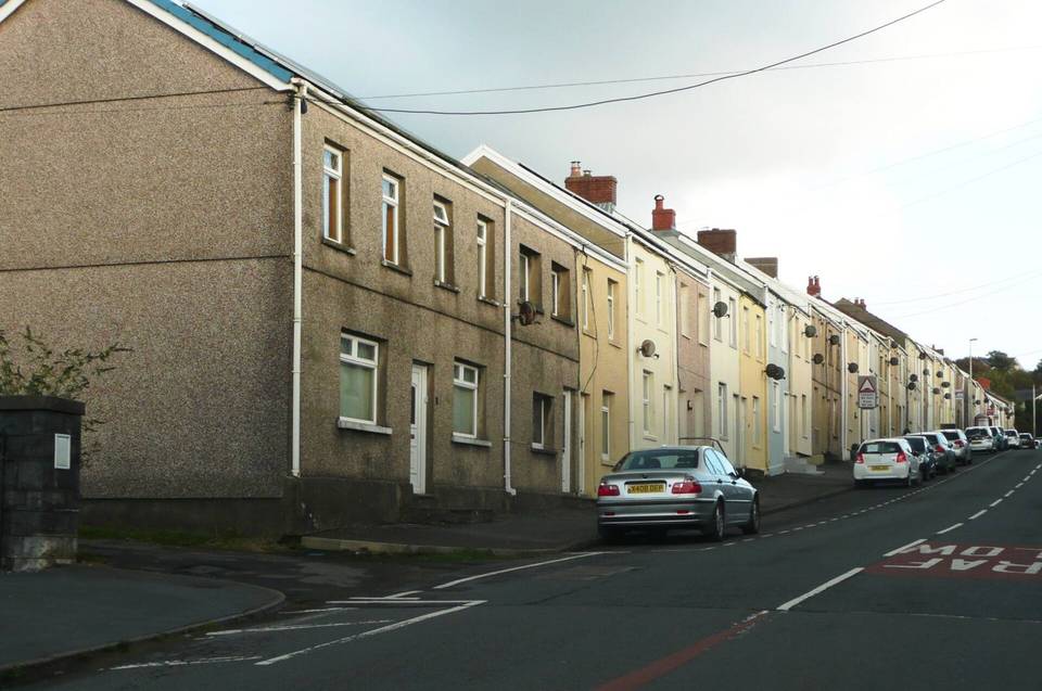
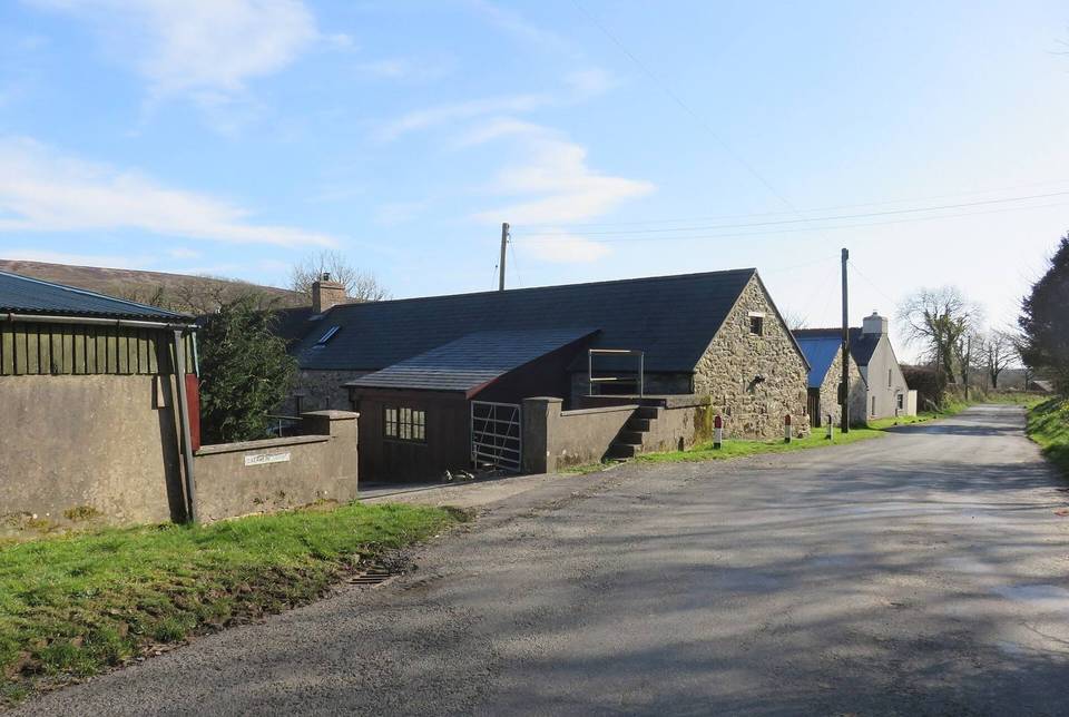
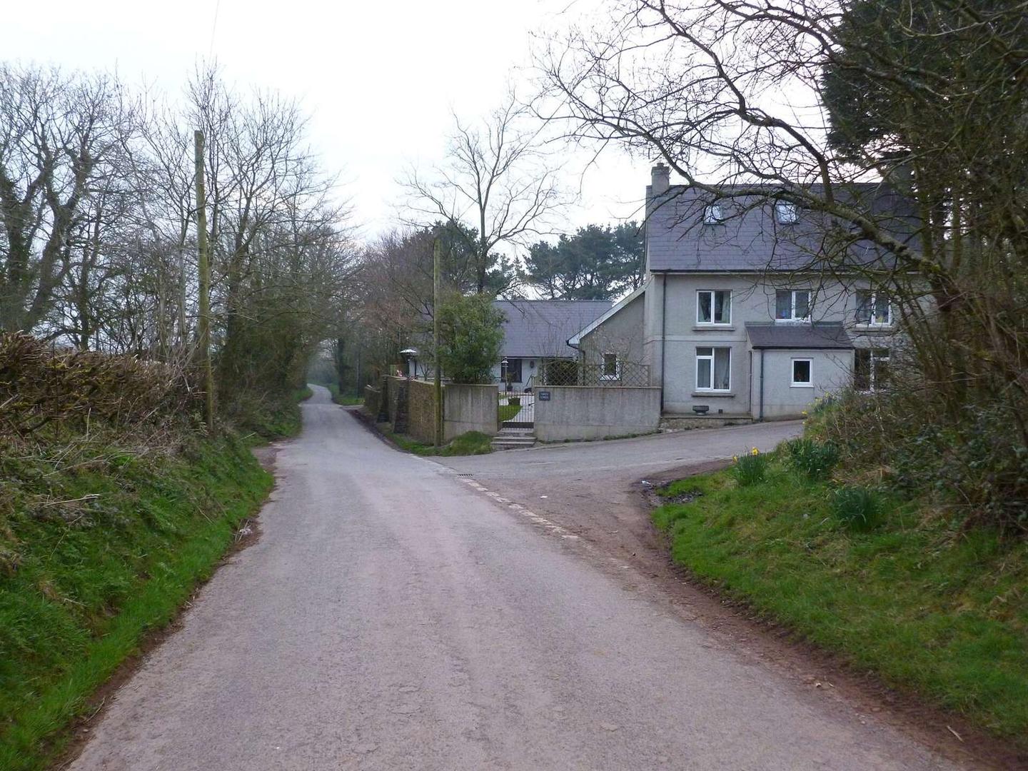
Mostly minor roads and streets on the map; 2 km is on main roads without a cycle lane.
No stretch is longer than 15 km without a café, shop or water. Along the route: 8 cafés and restaurants, 1 shop, 1 water point and 1 public toilet.