Cyclists.com

National Cycle Route 468

Pengam, Caerphilly County Borough, United KingdomRoad

Signed route The waymarked National Cycle Network Route (National Cycle Network 468), traced from OpenStreetMap and measured against the terrain model; no member has recorded it yet. Ridden it? Add your recording and photos.

15 km
Distance
154 m
Elevation gain
Easy
Difficulty
Paved
Surface
Download GPXMap

Elevation profile

Total ascent
154 m
Distance
15 km
0100200300400m0 km51015 km287 m · highest, at 14.7 kmStartFinish

Route overview

Suitable for riders looking for a short 15 km route with moderate climbing of 154 m.

National Cycle Network Route from Pengam to Rhymney in Caerphilly, 14.7 km with 154 m ascent.

Starting near Pengam station, the route passes through Cefn Fforest, Gilfach and Bargoed by 2.8 km. It continues through Aberbargoed, Brithdir, Cwmsyfiog and New Tredegar before reaching Rhymney at 14.7 km. Elevation rises from 143 m near the start to 286 m near the finish, with 60% of climbing in the first half. The longest steep section over 5% gradient is 0.1 km at the start near km 0. The surface is mainly paved (70%), with a small section of gravel or unpaved (1%) and 29% unmapped. The route follows a mix of paths (44%), cycle paths (33%), quiet streets (15%) and minor main roads (4%). Cycle lanes or paths cover 5.2 km. There is 0.6 km on main roads, some without cycle lanes. Facilities include cafés and shops near Bargoed at 2.4-2.8 km with Morrisons supermarket and petrol station, Rossi Cafe and toilets. After Bargoed there is a 2.7 km stretch without cafes, shops or water until 5.6 km. Other cafés and pubs are near 7.5 km and 13.9 km. Stations at Bargoed (2.9 km) and Rhymney (13.5 km) offer bailout points. Nearby peaks include Twyn Cornicyll (8.3 km) and Twyn Abertysswg (11.2 km).

Highlights

  • Route from Pengam to Rhymney
  • Climb from 143 m to 286 m
  • Near peak Twyn Cornicyll at 8.3 km
  • Longest no shop stretch 2.7 km after 2.9 km

Along the route

Measured from the recorded track and OpenStreetMap.

Places passed

  1. Bargoed 2.8 km
  2. Aberbargoed 4.3 km
  3. Brithdir 5.8 km
  4. Cwmsyfiog 5.9 km
  5. New Tredegar 7.2 km
  6. Tir-Phil 7.7 km
  7. Abertysswg 10 km
  8. Pontlottyn 11.6 km

What this ride is like

Measured from OpenStreetMap along the track and the elevation profile.

Roads
44% path · 33% cycle path · 15% quiet street · 4% main road
Cycle paths
5.2 km on cycle paths or roads with a cycle lane
Surface
70% paved · 1% gravel or unpaved · 29% unmapped
Gradient
24% climbing · 4% descending · 72% flat

Along the way

Within a few hundred metres of the track, from OpenStreetMap. Opening hours change — treat this as where to look, not a promise.

Food, water and shops

  1. 2.4 kmMorrisons · supermarket · 80 m off route
  2. 2.5 kmMorrisons · petrol station · on the route
  3. 2.8 kmRossi Cafe · café · 110 m off route
  4. 2.8 kmToilets · 50 m off route
  5. 7 kmSheppard Pharmacy New Tredegar · pharmacy · 40 m off route
  6. 7.5 kmHarvey's Cafe & Takeaway · café · on the route
  7. 12.5 kmRhymney Convenience Store · convenience store · 50 m off route
  8. 12.9 kmGulf · petrol station · 180 m off route
  9. 13.9 kmThe Brewery Club · pub · on the route

Need to bail out?

  • 2.9 kmBargoed (station), 60 m off route
  • 13.5 kmRhymney (station), 90 m off route

Whether bikes are carried depends on the service — check before relying on it.

Worth a stop

  • 2.9 kmBargoed Cenetaph War Memorial (monument)
  • 8.3 kmTwyn Cornicyll (peak)
  • 11.9 kmMining Wheel (monument)

At the start

  • Smiths Arms · pub · 160 m
  • Pengam · station · 420 m
  • JJs Gilfach · convenience store · 890 m
  • Hong Kong Fish Bar · fast food · 980 m

At the finish

  • Farmers Arms · pub · 370 m
  • The Brewery Club · pub · 780 m
  • Rhymney Oriental · fast food · 420 m
  • Yummies Kebab & Pizza · fast food · 410 m
  • Premier - Rhymney Convenience Store · convenience store · 460 m

Stay after this ride

  • The Rhymney House Hotel · hotel · 750 m from the finish
  • Parc Bryn Bach · campsite · 2.6 km from the finish
  • Tredegar Arms Hotel · hotel · 3.4 km from the finish
  • James' Place @ Dowlais · hotel · 3.6 km from the finish

Practical information

Surface
Paved
Route shape
Point to point
Riding time
1 h 03 min
Best months
Jun to Sep — daily highs of 17–19 °C in those months

Know before you go

  • 2.7 km stretch without café, shop or water from 2.9 km to 5.6 km
  • 0.6 km on main roads
  • Steepest 500 m with 10.9% gradient at start

Routes are for inspiration. Roads, surfaces and conditions change — check locally and ride within your limits.

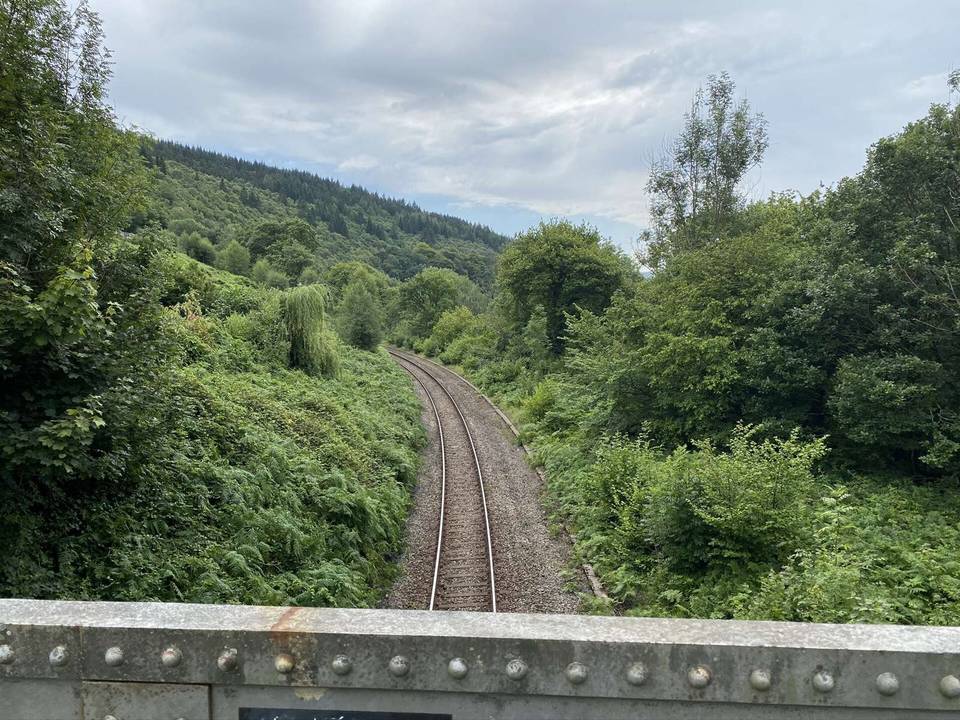
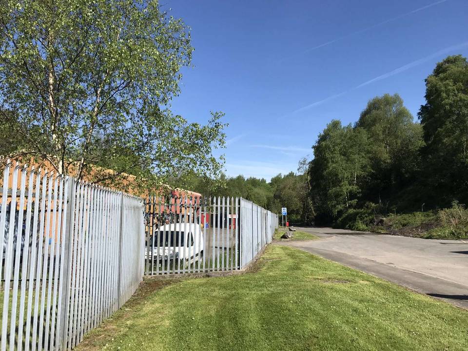
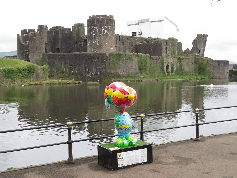
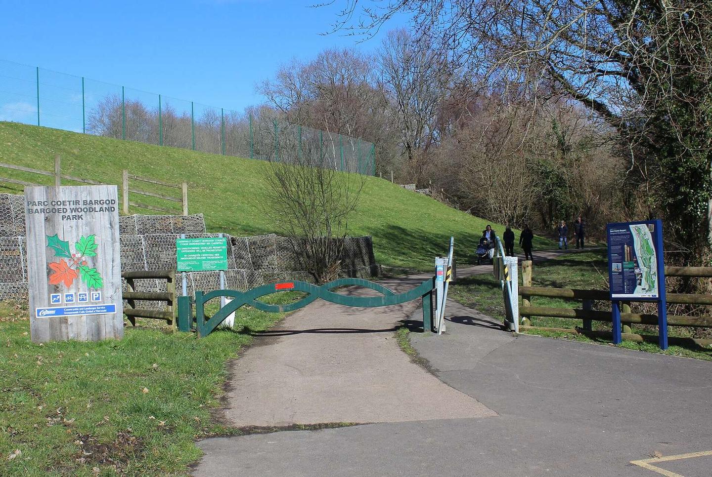
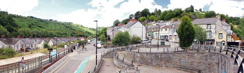
2 photographs from the road

Photo: M J Roscoe · CC BY-SA 2.0 · Wikimedia Commons · Photo: Alan Hughes · CC BY-SA 2.0 · Wikimedia Commons · Photo: Jaggery · CC BY-SA 2.0 · Wikimedia Commons