Road · United Kingdom
A hilly 37 km gravel loop from Rhigos, Rhondda Cynon Taf through Glyncorrwg and Blaencwm, with 551 m of climbing. 54% is on cycle paths or roads with a cycle lane. The first 36 km has no café, shop or water. Mostly unpaved: 86% is mapped as gravel or unpaved, 14% as paved.
Starting from Rhigos, the route heads past Mynydd Pen-y-cae at 1.9 km. It climbs moderately early on with gradients up to 6% around km 8, reaching heights near 487m. At 14.2 km the route reaches Glyncorrwg, then drops to a low point of 365m at 14.3 km. From here it climbs through Blaencwm at 29 km, and continues undulating with variable gradients including a steep section over 10% near km 34.9 reaching a maximum height of 591m near Craig Y Llyn at 35.3 km.
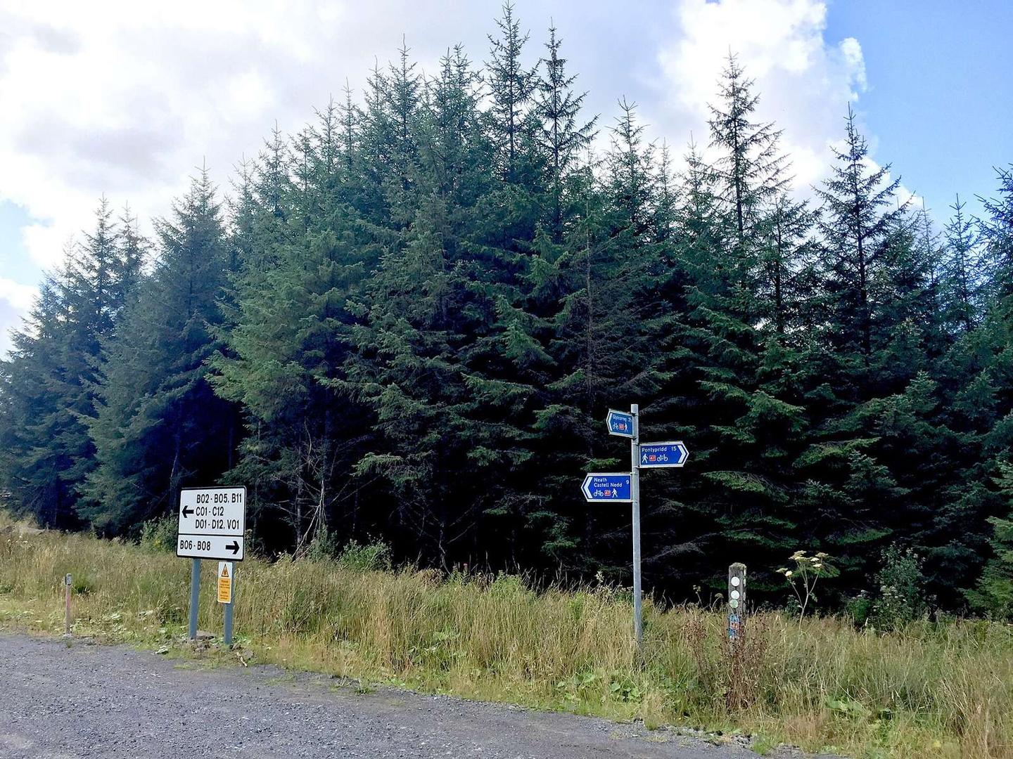
The route surface is mainly unpaved, with 86% gravel or track, and 14% paved. It comprises 19.9 km of cycle path and 16.1 km of track. There are no cafés, shops, water or toilets along the 36.1 km stretch, so carry supplies. Peaks near the road include Mynydd Pen-y-cae, Panwaun Pen-y-Coetgae, Pen-pych Mountain, and Craig Y Llyn. The longest descent covers 2.5 km dropping 96 m starting at 22.3 km.
| Climb | Starts at | On this ride | Top on this ride |
|---|---|---|---|
| Unnamed climb | 6.2 km | 1.4 km · 40 m · 3 % · max 4.6 % | 445 m |
| Unnamed climb | 8.1 km | 1.1 km · 48 m · 4.3 % · max 6 % | 487 m |
| Unnamed climb | 14.3 km | 2.3 km · 57 m · 2.4 % · max 4.8 % | 423 m |
| Unnamed climb | 16.9 km | 3.5 km · 101 m · 2.9 % · max 5.3 % | 516 m |
| Unnamed climb | 24.3 km | 3.4 km · 76 m · 2.3 % · max 4.1 % | 498 m |
| Unnamed climb | 32.5 km | 2.3 km · 121 m · 5.2 % · max 10.6 % | 591 m |
Much of the route is separated from traffic: 54% is on cycle paths or roads with a cycle lane.
No café, shop or water point is mapped along the route - carry everything you need.