Cyclists.com

Garw Valley Railway Path

Blaengarw, Bridgend County Borough, United KingdomRoad

Signed route The waymarked Garw Valley Railway Path (National Cycle Network 884), traced from OpenStreetMap and measured against the terrain model; no member has recorded it yet. Ridden it? Add your recording and photos.

9 km
Distance
0 m
Elevation gain
Easy
Difficulty
Paved
Surface
Download GPXMap

Elevation profile

Total ascent
0 m
Distance
9 km
050100150200250m0 km24689 km228 m · highest, at 0.0 kmStartFinish

Route overview

This short, gently descending route suits riders seeking an easy, mostly downhill ride under 10 km.

A 9.1 km mostly downhill cycle path from Blaengarw to Brynmenyn in Bridgend County Borough, UK.

The Garw Valley Railway Path begins near Blaengarw at 227 m altitude and follows a largely descending profile to Brynmenyn at 72 m. Most of the route is paved and runs principally on cycle paths with 8.3 km of this kind, plus 0.5 km on quiet streets. The path passes through Pontycymer, Pont-y-rhyl, Tylagwyn, Llangeinor, and Bettws before reaching Brynmenyn. Climbing amounts to just 1 per cent of the distance, with a 3.2 km longest descent starting around 3.6 km into the route, dropping 49 m. The steepest 500 m section features a gradient of 10.3 per cent right at the start. Facilities include the Garw Valley Cafe near Blaengarw at 0.8 km and a Co-op supermarket near Pontycymer at 2.2 km. After 4.7 km there is a petrol station near Pont-y-rhyl. Bail out is possible at Tondu station at 9.1 km, though it is 1.4 km off route. There is a 4.4 km stretch without cafés, shops or water from 4.7 km onwards.

Highlights

  • Cycle path for 8.3 km
  • Longest descent 3.2 km dropping 49 m
  • Garw Valley Cafe near Blaengarw
  • Passes through Pontycymer and Bettws

Along the route

Measured from the recorded track and OpenStreetMap.

Places passed

  1. Pontycymer 2.7 km
  2. Pont-y-rhyl 4.7 km
  3. Tylagwyn 5.5 km
  4. Llangeinor 6.5 km

What this ride is like

Measured from OpenStreetMap along the track and the elevation profile.

Roads
92% cycle path · 6% quiet street
Cycle paths
8.3 km on cycle paths or roads with a cycle lane
Surface
Paved throughout
Gradient
1% climbing · 46% descending · 53% flat
Longest descent
3.2 km from 3.6 km, dropping 49 m

Along the way

Within a few hundred metres of the track, from OpenStreetMap. Opening hours change — treat this as where to look, not a promise.

Food, water and shops

  1. 0.8 kmGarw Valley Cafe · café · 80 m off route
  2. 1.8 kmWell Pharmacy · pharmacy · 110 m off route
  3. 2.2 kmCo-op Food · supermarket · 40 m off route
  4. 4.7 kmPetrol station · 80 m off route

Need to bail out?

  • 9.1 kmTondu (station), 1.4 km off route

Whether bikes are carried depends on the service — check before relying on it.

At the start

  • Garw Valley Cafe · café · 660 m
  • The Top Club · pub · 330 m
  • The Blaengarw Hotel · pub · 490 m

Stay after this ride

  • Days Inn · hotel · 2.5 km from the finish
  • Premier Inn · hotel · 2.9 km from the finish

Practical information

Surface
Paved
Route shape
Point to point
Riding time
39 min
Best months
Jun to Sep — daily highs of 17–19 °C in those months

Know before you go

  • 4.4 km without café, shop or water from 4.7 km
  • Steepest 500 m section at 10.3% gradient at start

Routes are for inspiration. Roads, surfaces and conditions change — check locally and ride within your limits.

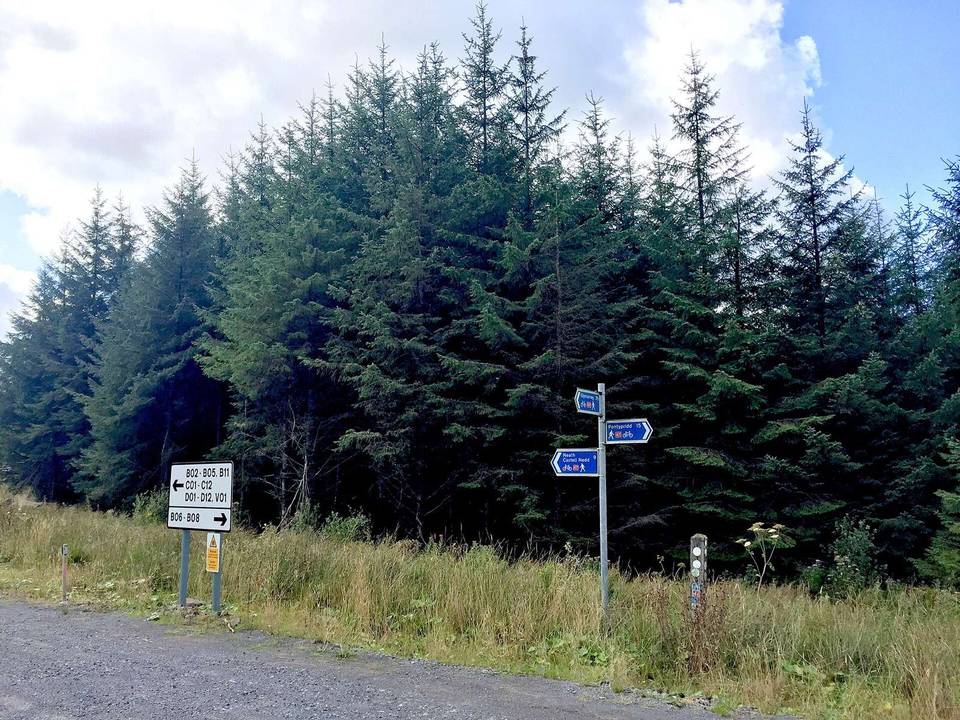
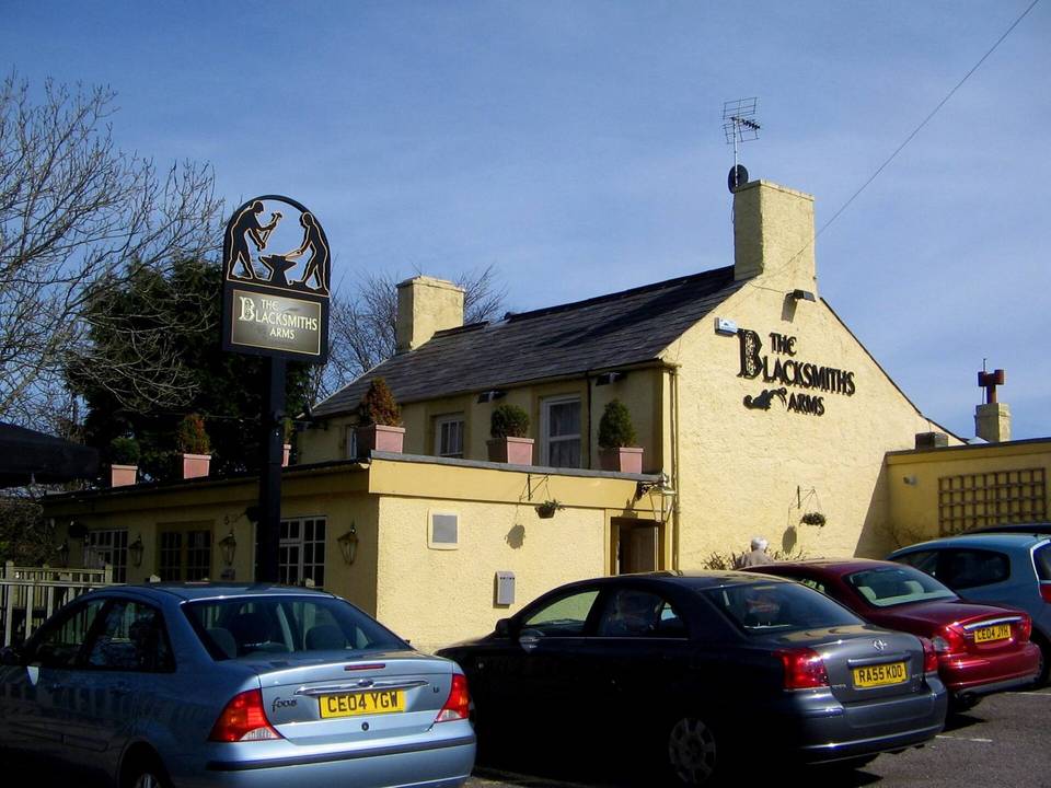
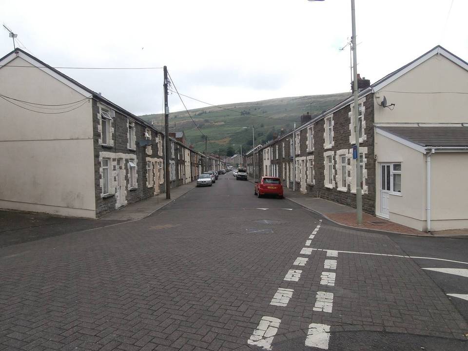
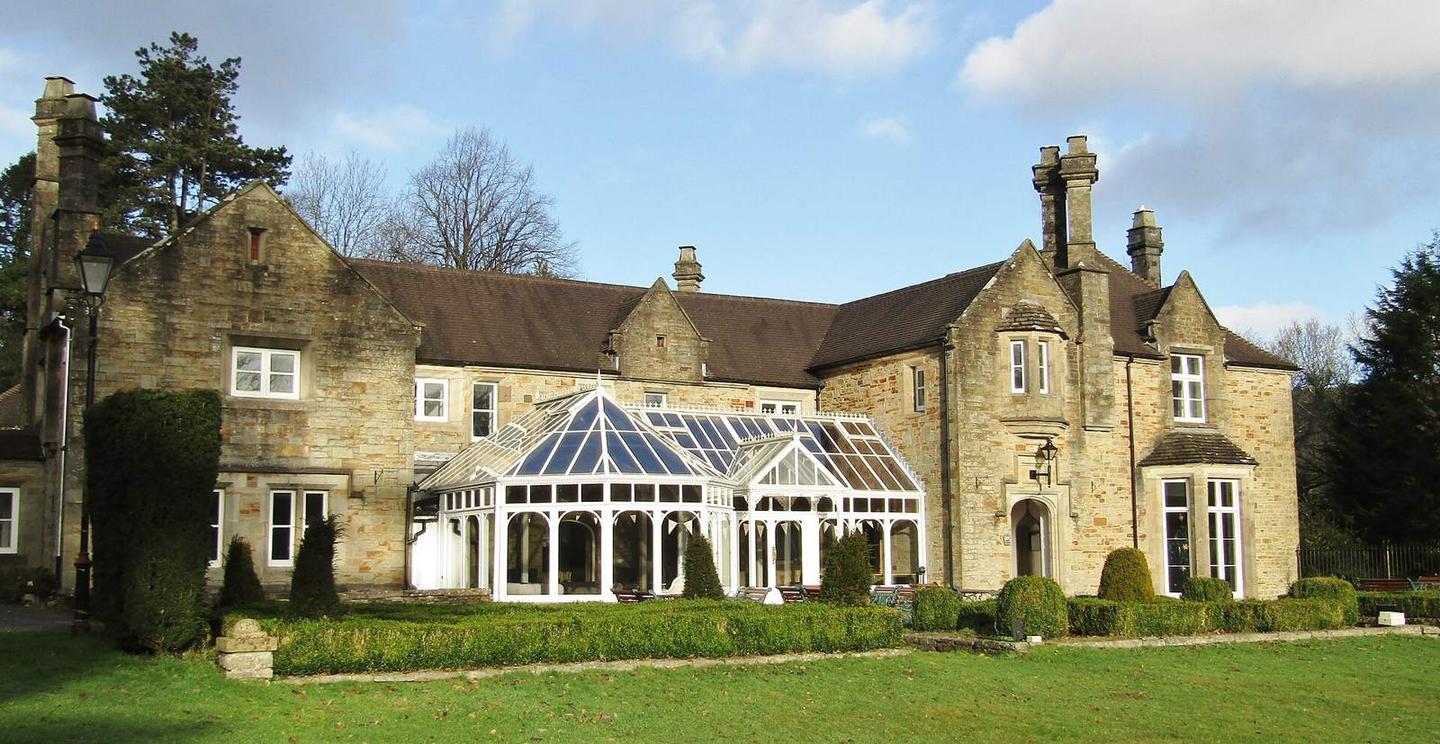
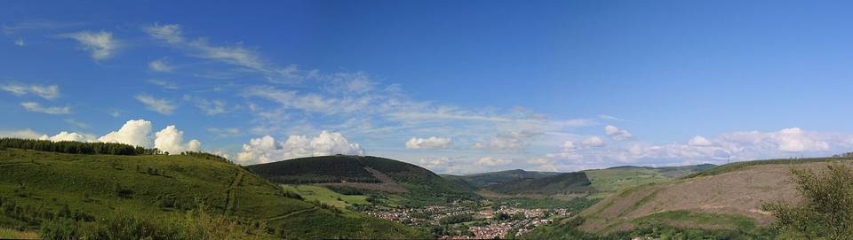
2 photographs from the road

Photo: Colin Smith · CC BY-SA 2.0 · Wikimedia Commons · Photo: Alan Hughes · CC BY-SA 2.0 · Wikimedia Commons