Cyclists.com

National Cycle Route 888

Corntown, Vale of Glamorgan, United KingdomRoad

Signed route The waymarked National Cycle Network Route (National Cycle Network 888), traced from OpenStreetMap and measured against the terrain model; no member has recorded it yet. Ridden it? Add your recording and photos.

11 km
Distance
65 m
Elevation gain
Easy
Difficulty
Paved
Surface
Download GPXMap

Elevation profile

Total ascent
65 m
Distance
11 km
020406080100m0 km2.557.511 km92 m · highest, at 0.6 kmStartFinish

Route overview

Short route with moderate climbing suits riders looking for a gentle 10.8 km ride.

10.8 km National Cycle Network Route from Corntown to Llanmaes in Vale of Glamorgan with 65 m climbing.

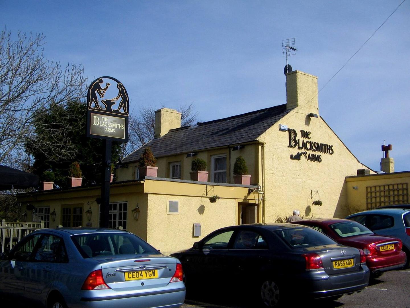
The ride starts near Corntown at 92 m elevation and heads through Tair Croes, Llampha, Colwinston, and Llandow before reaching Llanmaes at 10.8 km. The first half contains most of the 65 m total ascent, with a slight dip from 92 m down to 40 m at 2.9 km, then climbing again. The main climb begins around 4.6 km and lasts for 2.1 km, gaining 44 m at an average gradient of 2.1%, max 3%, reaching 90 m. The route is almost entirely on paved minor roads (99% paved, 98% minor road) with a small 1% unpaved section. There is a 2.9 km stretch on roads with speed limits of 80 km/h or more. After Corntown, there is no café, shop, or water for 6.9 km until a café 58 m off route just after that point. There are repair stands at the start and end around Corntown and Llanmaes. A bailout station is 1.34 km off route at 10.7 km. The ride features 58% flat terrain, 19% climbing, and 22% descending, with the steepest 500 m section at 7.5% right near the start, and the longest descent is 1.6 km dropping 42 m near the end. At the finish in Llanmaes is the Blacksmith's Arms pub.

Highlights

  • Ascent of 44 m over 2.1 km with max 3% gradient
  • Longest descent of 1.6 km dropping 42 m from km 9.2
  • Route passes through Colwinston and Llandow
  • Blacksmith's Arms pub at Llanmaes finish

Along the route

Measured from the recorded track and OpenStreetMap.

Places passed

  1. Colwinston 3.3 km
  2. Llandow 4.9 km
  3. Sigingstone 8.7 km

Climbs

ClimbStarts atLengthGainAverageMaxTop
4.6 km2.1 km44 m2.1 %3 %90 m

High point 92 m at 0.6 km; low point 40 m.

What this ride is like

Measured from OpenStreetMap along the track and the elevation profile.

Roads
98% minor road
Fast roads
2.9 km on roads with a limit of 80 km/h or more
Surface
Paved throughout
Gradient
19% climbing · 22% descending · 58% flat

Along the way

Within a few hundred metres of the track, from OpenStreetMap. Opening hours change — treat this as where to look, not a promise.

Food, water and shops

  1. 0 kmRepair stand · 410 m off route
  2. 6.9 kmTopstak Gallery Café · café · 60 m off route
  3. 10.8 kmRepair stand · on the route

Need to bail out?

  • 10.7 kmLlantwit Major (station), 1.3 km off route

Whether bikes are carried depends on the service — check before relying on it.

At the finish

  • Blacksmith's Arms · pub · 110 m

Stay after this ride

  • The Curriers · guest house · 1.7 km from the finish
  • The West House · hotel · 1.8 km from the finish
  • Llandow Touring Caravan Site · campsite · 2.9 km from the finish
  • Acorn Holiday Park · campsite · 2.2 km from the finish

Practical information

Surface
Paved
Route shape
Point to point
Riding time
46 min
Best months
Jun to Sep — daily highs of 17–19 °C in those months

Know before you go

  • 6.9 km without café, shop or water from start
  • 2.9 km on roads with 80 km/h or more speed limit

Routes are for inspiration. Roads, surfaces and conditions change — check locally and ride within your limits.

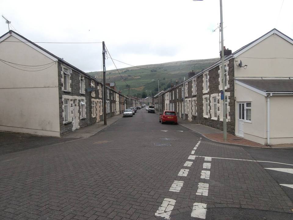
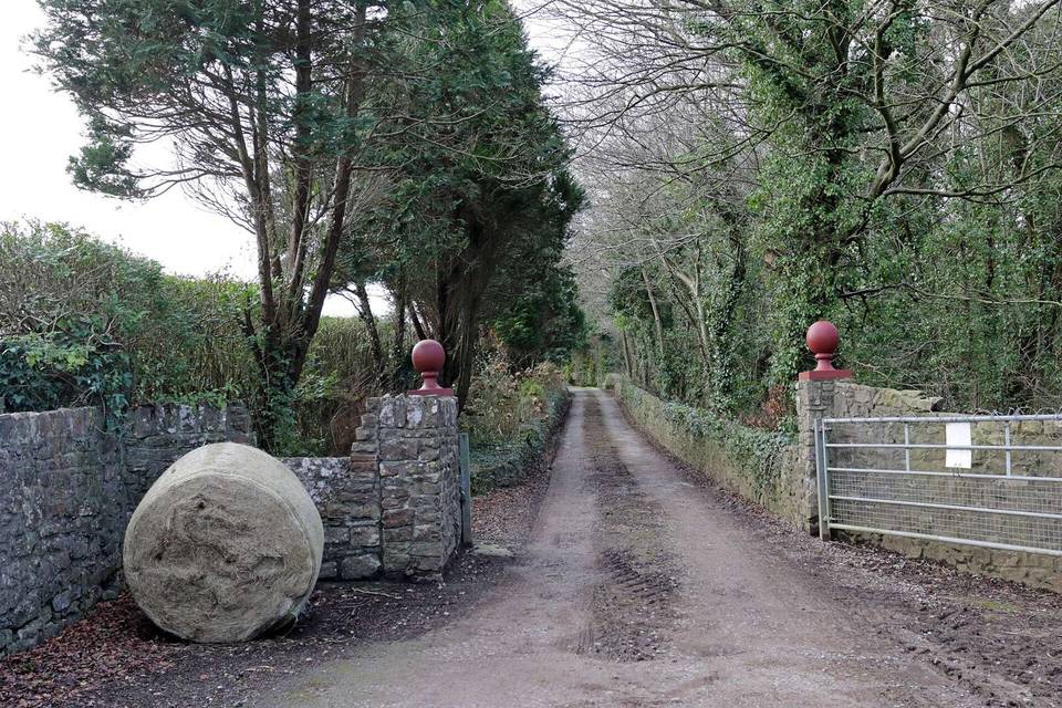
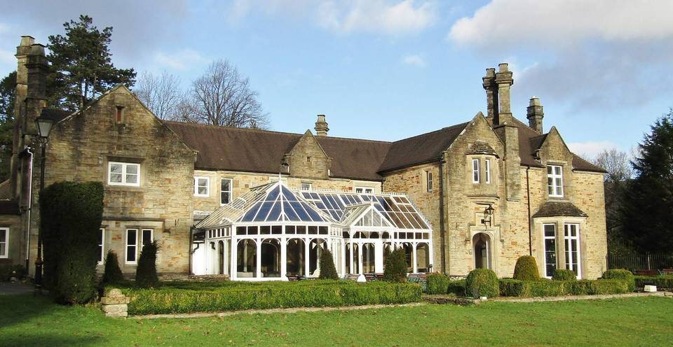
2 photographs from the road

Photo: Alan Hughes · CC BY-SA 2.0 · Wikimedia Commons · Photo: cowbridgeguide.co.uk · CC BY 3.0 · Wikimedia Commons