Cyclists.com

Newcastleton to Peebles

Newcastleton, Scottish Borders, United KingdomGravel

Signed route The waymarked Great North Trail (Scottish Borders) (Cycling UK), traced from OpenStreetMap and measured against the terrain model; no member has recorded it yet. Stage 1 of 2 of the Great North Trail (Scottish Borders). Ridden it? Add your recording and photos.

85 km
Distance
1,482 m
Elevation gain
Hard
Difficulty
Mixed
Surface
Download GPXMap

Elevation profile

Total ascent
1,482 m
Distance
85 km
0200400600m0 km20406085 km516 m · highest, at 78.2 kmStartFinish

Route overview

Designed for experienced cyclists prepared for a long route with significant climbing and mixed surfaces.

Stage 1 of 2 of the Great North Trail (Scottish Borders): 85.0 km from Newcastleton to Peebles with 1482 m of climbing, on the signed route.

This 85km point-to-point route starts at Newcastleton and passes Steele Road at 6.7km, Riccarton Junction and Leysburnfoot near 12.5km, then Shankend at 22.4km. The ride continues through Stobs, Newmill, Colislinn, Flex, and Greenbraehead before reaching Hawick at 34.2km. Beyond Hawick, it goes past Ashkirk, Wollrig, Broadmeadows, and Yarrowford, then Traquair and Kirkhouse before finishing at Peebles at 82.3km. The climbing totals 1482m with major ascents like the start climb of 1.1km at 5.3% average gradient, and steeper climbs later such as a 5.3km section at 6.3% from 57.4km and a 4.4km climb at 7.4% from 69.6km. The route reaches a maximum elevation near 520m around 75.7km. The profile shows 34% climbing, 29% descending, and 37% flat, with up to 10.9km of sustained gradients over 5%. Surface varies with 41% paved roads, 54% gravel or unpaved, including 33.1km of track and 15.3km of path, plus some minor roads and quiet streets. Main road sections total 7.6km, all without cycle lanes. Some roads have speed limits over 80km/h for 15.9km. A Sainsbury's supermarket and petrol station lie near 34km for refuelling, as well as several pubs and bakeries near 33.5km, 44.2km and at the finish in Peebles. The longest stretch without cafe, shop or water is 33.4km from the start.

Highlights

  • Climb from Newcastleton with 5.3% average gradient
  • Pass beneath Shankend Hill (372m) at 21.2km
  • Steep 5.3km climb at 6.3% from 57.4km
  • Peak elevation around 520m near 75.7km

Along the route

Measured from the recorded track and OpenStreetMap.

Places passed

  1. Steele Road 6.7 km
  2. Riccarton Junction 12.5 km
  3. Leysburnfoot 12.8 km
  4. Shankend 22.4 km
  5. Stobs 27.9 km
  6. Newmill 29.1 km
  7. Colislinn 29.5 km
  8. Flex 30.7 km
  9. Greenbraehead 31.7 km
  10. Crowbyres 32 km
  11. Hawick 34.2 km
  12. Wilton 34.5 km
  13. Stirches House 36.1 km
  14. Ashkirk 43.8 km
  15. Wollrig 46.2 km
  16. Broadmeadows 57.4 km
  17. Yarrowford 58 km
  18. Traquair 67.8 km
  19. Traquair Mill 68 km
  20. Kirkhouse 69.3 km
  21. Peebles 82.3 km

Climbs

ClimbStarts atLengthGainAverageMaxTop
0 km1.1 km59 m5.3 %5.8 %454 m
7.2 km2.3 km46 m2 %4.3 %225 m
15.7 km1.4 km78 m5.5 %9 %383 m
34.1 km2.9 km136 m4.7 %8 %239 m
37.9 km1.5 km60 m3.9 %4.8 %297 m
43.9 km4.1 km157 m3.9 %5.7 %337 m
52.6 km2.2 km43 m2 %3.9 %173 m
57.4 km5.3 km329 m6.3 %13.7 %494 m
69.6 km4.4 km329 m7.4 %16.2 %508 m

High point 520 m at 75.7 km; low point 103 m. Passes beneath Shankend Hill, White Hill, Hardie's Hill.

What this ride is like

Measured from OpenStreetMap along the track and the elevation profile.

Roads
40% track · 19% path · 18% minor road · 13% quiet street
Main roads
7.6 km on main roads without a cycle lane — likely busier
Fast roads
15.9 km on roads with a limit of 80 km/h or more
Main roads used
B6399 (5 km)
Surface
41% paved · 54% gravel or unpaved
Gradient
34% climbing · 29% descending · 37% flat
Steep sections
10.9 km over 5% · 3.7 km over 8% · 1.4 km over 10%
Longest descent
5.4 km from 17.6 km, dropping 158 m

Along the way

Within a few hundred metres of the track, from OpenStreetMap. Opening hours change — treat this as where to look, not a promise.

Longest stretch without a café, shop or water: 33 km, from 0 km to 33 km.

Food, water and shops

  1. 12.8 kmToilets · 150 m off route
  2. 33.5 kmG Harrow & Son Homebakery · bakery · 50 m off route
  3. 33.5 kmToilets · 30 m off route
  4. 34 kmHawick Community Hospital · hospital · 120 m off route
  5. 34.4 kmSainsbury's · supermarket · 60 m off route
  6. 34.6 kmSainsbury's · petrol station · 60 m off route
  7. 34.8 kmTop Up Tap · drinking water · 200 m off route
  8. 34.8 kmTeri Bikes · bike shop · 320 m off route
  9. 44.2 kmSmiddy · pub · on the route
  10. 67.7 kmDrinking water · on the route
  11. 81.4 kmGlen Road Stores · convenience store · on the route
  12. 81.9 kmTop Up Tap · drinking water · 220 m off route
  13. 81.9 kmToilets · 30 m off route
  14. 82.3 kmThe Fat Batard · bakery · 240 m off route
  15. 82.3 kmBspoke Cycles · bike shop · 390 m off route
  16. 82.3 kmrightmedicine Pharmacy · pharmacy · 210 m off route

Need to bail out?

  • 15.9 kmWhitrope Siding (station), on the route

Whether bikes are carried depends on the service — check before relying on it.

Worth a stop

  • 15.9 kmWhitrope Heritage Centre (attraction)
  • 26.5 kmStobs Castle (castle)
  • 34.3 kmThe Borders Distillery (attraction)
  • 56.4 kmNewark Castle (castle)
  • 62.6 kmHare Law (peak, 510 m)
  • 75.9 kmKirkhope Law (peak, 535 m)

At the finish

  • The Bridge Inn · pub · 120 m
  • Peebles Chinese Takeaway · restaurant · 60 m
  • Ozkan's Grill · fast food · 70 m
  • The Oven Door Tearoom · café · 190 m
  • The Fat Batard · bakery · 240 m

Stay after this ride

  • Neidpath Inn · hotel · 120 m from the finish
  • Lindores Guest House · guest house · 160 m from the finish
  • Tontine Hotel · hotel · 180 m from the finish
  • Dilkusha House · guest house · 420 m from the finish
  • Kingsmuir House · guest house · 740 m from the finish

Practical information

Surface
Mixed
Route shape
Point to point
Riding time
7 h 05 min
Best months
Jun to Aug — daily highs of 17–18 °C in those months

Know before you go

  • 33.4 km without café, shop or water from start
  • 7.6 km on main roads without cycle lanes
  • 15.9 km on roads with 80 km/h or more
  • 54% gravel or unpaved surface

Routes are for inspiration. Roads, surfaces and conditions change — check locally and ride within your limits.

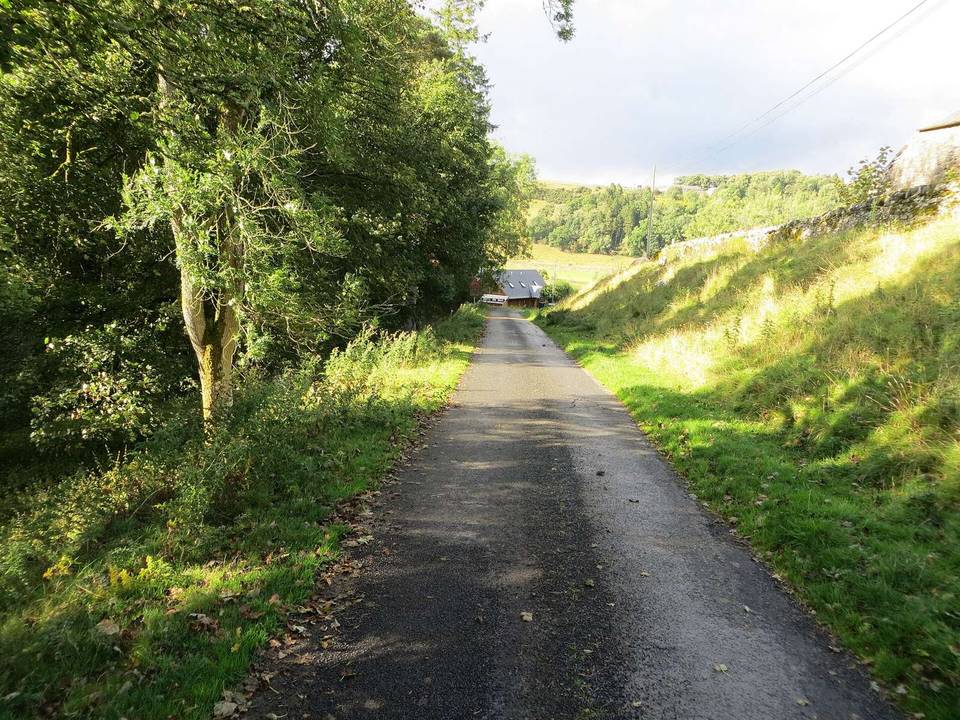
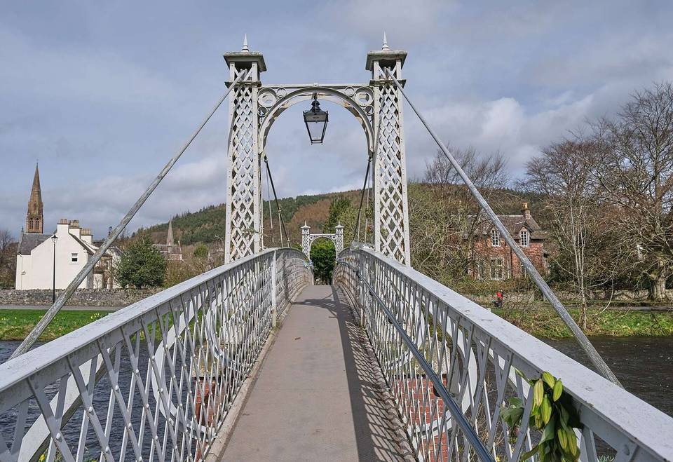
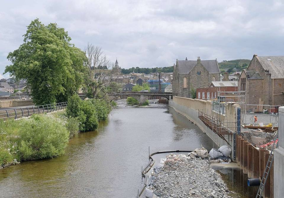
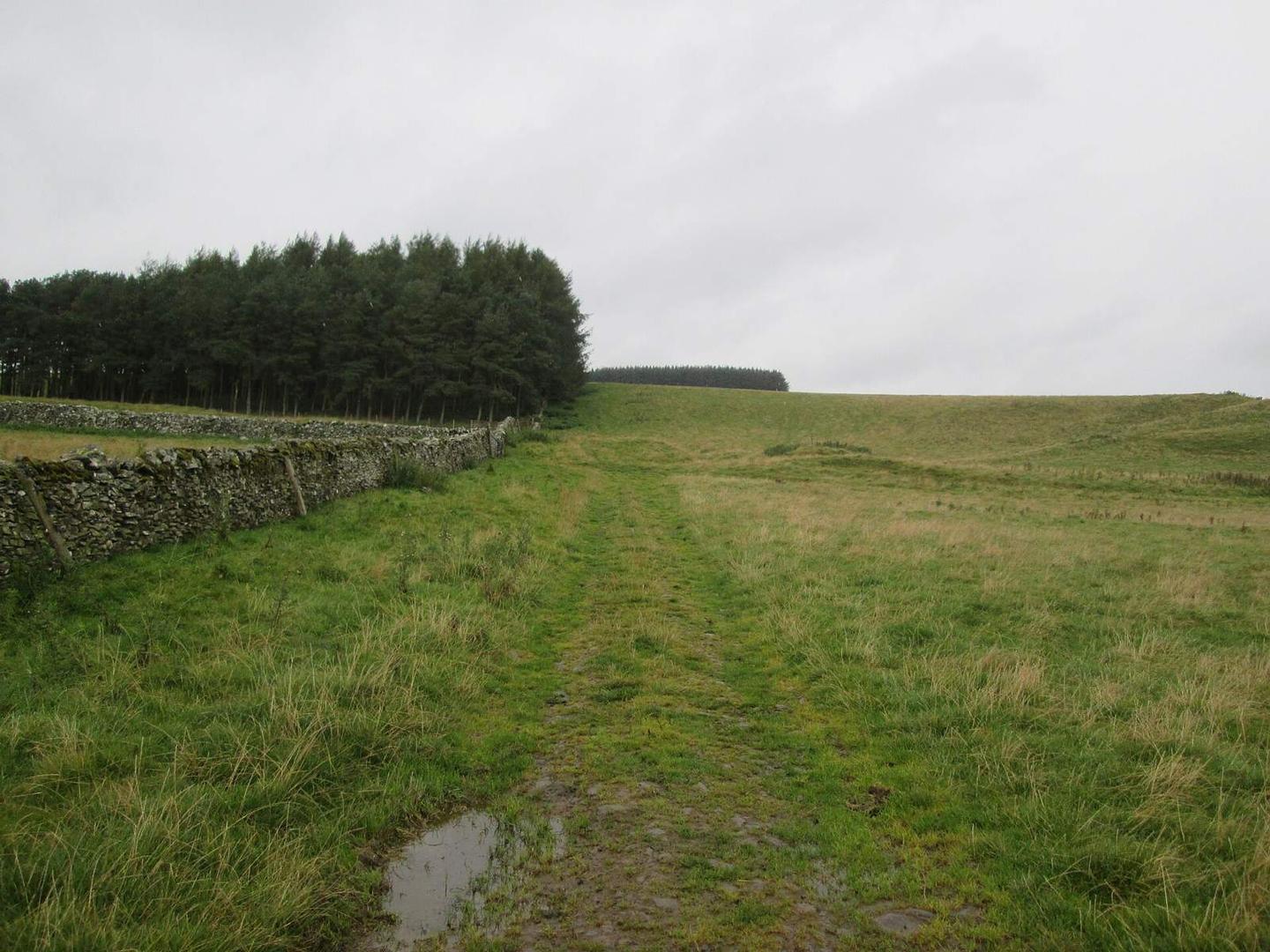
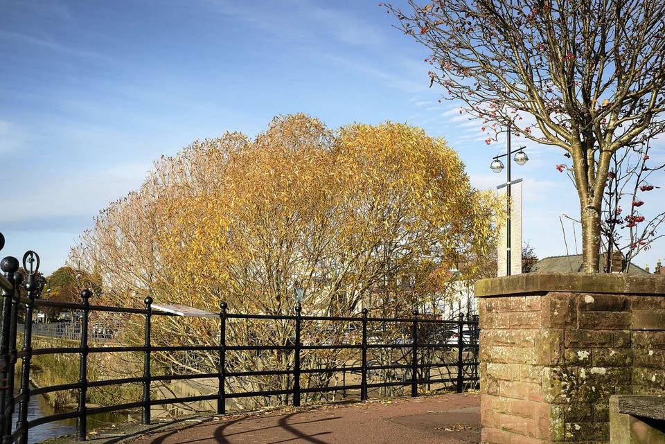
2 photographs from the road

Photo: Anthony O'Neil · CC BY-SA 2.0 · Wikimedia Commons · Photo: James T M Towill · CC BY-SA 2.0 · Wikimedia Commons · Photo: Martin Dawes · CC BY-SA 2.0 · Wikimedia Commons

Stage of