Cyclists.com

Harelaw to Dumfries

Harelaw, Dumfries and Galloway, United KingdomRoad

Signed route The waymarked National Byway (SW Scotland) (regional route NB), traced from OpenStreetMap and measured against the terrain model; no member has recorded it yet. Stage 1 of 5 of the National Byway (SW Scotland). Ridden it? Add your recording and photos.

110 km
Distance
694 m
Elevation gain
Hard
Difficulty
Paved
Surface
Download GPXMap

Elevation profile

Total ascent
694 m
Distance
110 km
050100150200250m0 km255075110 km231 m · highest, at 41.4 kmStartFinish

Route overview

Cyclists who can handle 110 km distance with moderate climbing over mixed road types.

Stage 1 of 5 of the National Byway (SW Scotland): 109.8 km from Harelaw to Dumfries with 694 m of climbing, on the signed route.

The route starts near Penton and Harelaw, passing through Claygate and Langholm. The first climb is early, starting 0.2 km in, lasting 2.2 km with an average gradient of 3.9% and maximum of 7.2%, reaching 154 m height. After Langholm, another climb of 2.6 km at 2.9% average gradient begins at 13.1 km. The route continues through Bentpath, Bailiehill where two short climbs occur, both about 2 km long with moderate gradients up to 5.2%. Corrie Common is at 41 km, near the maximum elevation point of 232 m at 40.5 km. The road descends and levels out towards Dumfries, passing Lockerbie at 50 km, Ecclefechan at 59.6 km, Annan at 68.4 km, and several smaller villages along the final 40 km. The route ends in the town centre of Dumfries. Most of the ride is on paved roads with 42% on main roads and 39% on minor roads, plus 10.2 km on cycle paths or lanes. Long stretches of main roads lack cycle lanes, and about 80 km are on roads with speed limits of 80 km/h or more. The longest stretch without café, shop, or water is 36.7 km from km 13 to 49.7. Cafés, shops, toilets, and bailout stations are available mainly in towns along the route, including Lockerbie and Annan. The profile is mostly flat or gently rolling (67% flat), with 14% climbing and 19% descending. Steepest sustained gradient is 6.6% over 500 m at km 1.4. The longest descent is 4.6 km starting about km 57.5, dropping 88 m. Named roads include B725 for nearly 20 km and B6318 for about 10 km. Peaks near the road include Harelaw Pike, Meikleholm Hill, Mid Hill, and Craig Hill in the first half, and several smaller hills near the closing stages.

Highlights

  • Climbs near Harelaw and Langholm
  • Lockerbie town at 50 km with café and shops
  • Peak near the road: Mid Hill (327 m)
  • Longest descent of 4.6 km after 57.5 km

Along the route

Measured from the recorded track and OpenStreetMap.

Places passed

  1. Claygate 6.1 km
  2. Langholm 12.9 km
  3. Bentpath 22 km
  4. Bailiehill 29.3 km
  5. Corrie Common 41 km
  6. Lockerbie 50 km
  7. Ecclefechan 59.6 km
  8. Annan 68.4 km
  9. Newbie 70.6 km
  10. Powfoot 75.6 km
  11. Ruthwell 82.5 km
  12. Bankend 90.6 km
  13. Shearington 92.2 km
  14. Glencaple 99 km
  15. Kelton 101.2 km
  16. Kelton Mains 102 km
  17. The Crichton 104.4 km
  18. Kingholm Quay 105.1 km
  19. Broomlands 106.2 km
  20. Larchfield 107.1 km
  21. Troqueer 107.3 km

Climbs

ClimbStarts atLengthGainAverageMaxTop
0.2 km2.2 km84 m3.9 %7.2 %154 m
13.1 km2.6 km75 m2.9 %6.8 %151 m
25.4 km2.1 km47 m2.3 %4.3 %175 m
28.2 km1.9 km42 m2.3 %5.2 %222 m
38.3 km1.3 km47 m3.5 %5.4 %204 m

High point 232 m at 40.5 km; low point 3 m. Passes beneath Harelaw Pike, Meikleholm Hill, Mid Hill.

What this ride is like

Measured from OpenStreetMap along the track and the elevation profile.

Roads
42% main road · 39% minor road · 6% quiet street · 5% road with cycle lane
Main roads
47.5 km on main roads without a cycle lane — likely busier
Fast roads
80 km on roads with a limit of 80 km/h or more
Cycle paths
10.2 km on cycle paths or roads with a cycle lane
Main roads used
B725 (20 km), B6318 (11 km), B709 (8 km), C83a (8 km)
Surface
Paved throughout
Gradient
14% climbing · 19% descending · 67% flat
Steep sections
1.9 km over 5% · steepest 500 m averages 6.6% at 1.4 km
Longest descent
4.6 km from 57.5 km, dropping 88 m

Along the way

Within a few hundred metres of the track, from OpenStreetMap. Opening hours change — treat this as where to look, not a promise.

Longest stretch without a café, shop or water: 37 km, from 13 km to 50 km.

Food, water and shops

  1. 12.3 kmCo-op Food · supermarket · 160 m off route
  2. 12.8 kmGulf · petrol station · on the route
  3. 12.9 kmToilets · on the route
  4. 12.9 kmDavidsons Chemists · pharmacy · on the route
  5. 50 kmLockerbie Public Conveniences · toilets · 60 m off route
  6. 50 kmDavidsons Chemists · pharmacy · 30 m off route
  7. 50.4 kmPetrol station · 100 m off route
  8. 58.5 kmThe 'fechan Diner · café · 140 m off route
  9. 59.6 kmToilets · 200 m off route
  10. 68.4 kmCorner House Coffee · café · on the route
  11. 68.4 kmWell Pharmacy · pharmacy · 50 m off route
  12. 77.5 kmReception / Office · convenience store · on the route
  13. 93.3 kmCafé · 270 m off route
  14. 98.9 kmThe Boat House · café · 40 m off route
  15. 107.1 kmCo-op Food · supermarket · 190 m off route
  16. 107.3 kmBP · petrol station · 150 m off route
  17. 107.9 kmThe Frothy Bike Co. · café · 40 m off route
  18. 108 kmWhitesands Toilets · toilets · 250 m off route

Need to bail out?

  • 49.9 kmLockerbie (station), 80 m off route
  • 68.6 kmAnnan (station), 350 m off route
  • 108 kmDumfries (station), 810 m off route

Whether bikes are carried depends on the service — check before relying on it.

Worth a stop

  • 12.9 kmMercat Cross (monument)
  • 17.8 kmLittle Hill (peak, 188 m)
  • 21.8 kmDrove Knowe Monument (monument)
  • 29.3 kmMartinhill (peak, 240 m)
  • 43.6 kmHencastle Rig, Settlement (archaeological site)
  • 68.1 kmMote of Annan, Motte (archaeological site)

At the finish

  • The Frothy Bike Co. · café · 130 m
  • Coach and Horses · pub · 50 m
  • M&S Café · café · 150 m
  • The Bank Tapas Bar · restaurant · 60 m
  • Marchbank · bakery · 210 m

Stay after this ride

  • Glencairn Villa · guest house · 550 m from the finish
  • Holly Garden · guest house · 560 m from the finish
  • Cairndale Hotel · hotel · 580 m from the finish
  • Lindean House · guest house · 570 m from the finish
  • Torbay Lodge · guest house · 660 m from the finish

Practical information

Surface
Paved
Route shape
Point to point
Riding time
7 h 51 min
Best months
Jun to Aug — daily highs of 17–18 °C in those months

Know before you go

  • 36.7 km without café, shop or water from km 13 to 49.7
  • 47.5 km on main roads without cycle lanes
  • 80 km on roads with 80 km/h or higher speed limits

Routes are for inspiration. Roads, surfaces and conditions change — check locally and ride within your limits.

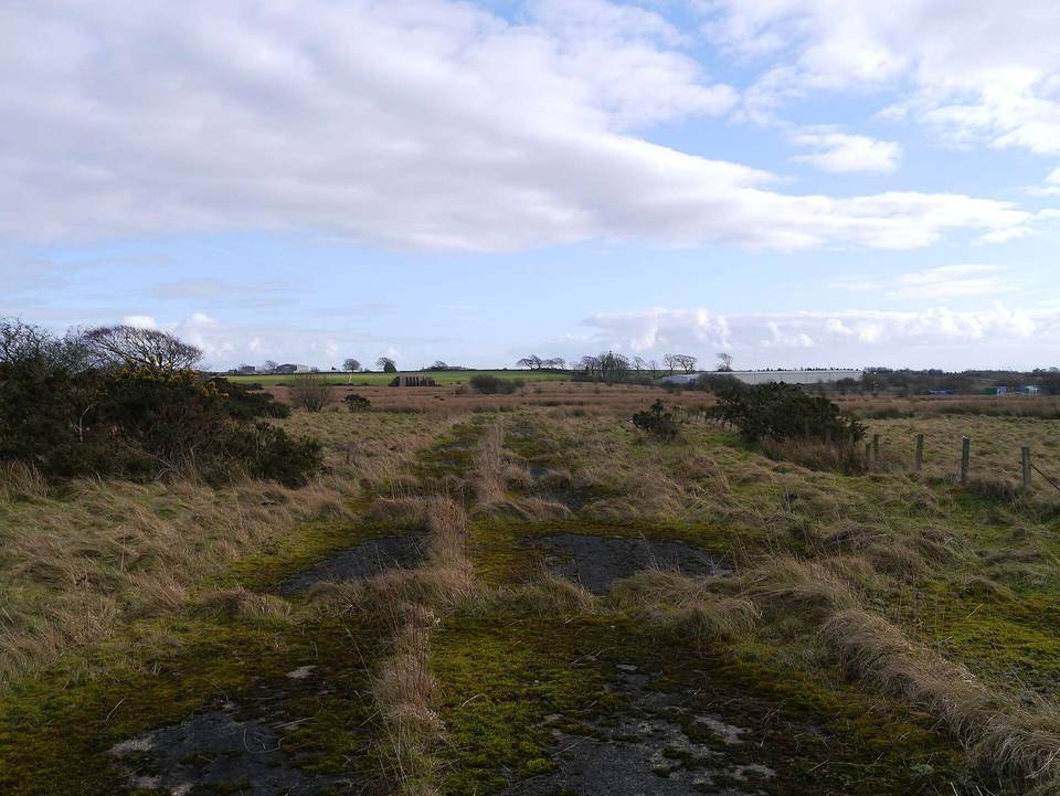
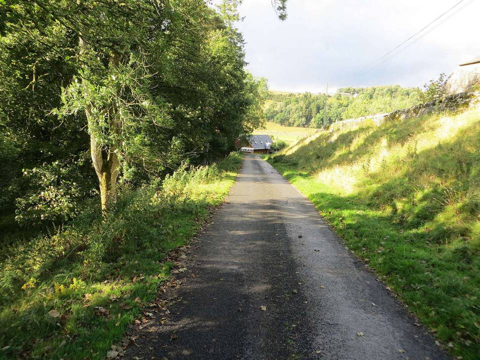
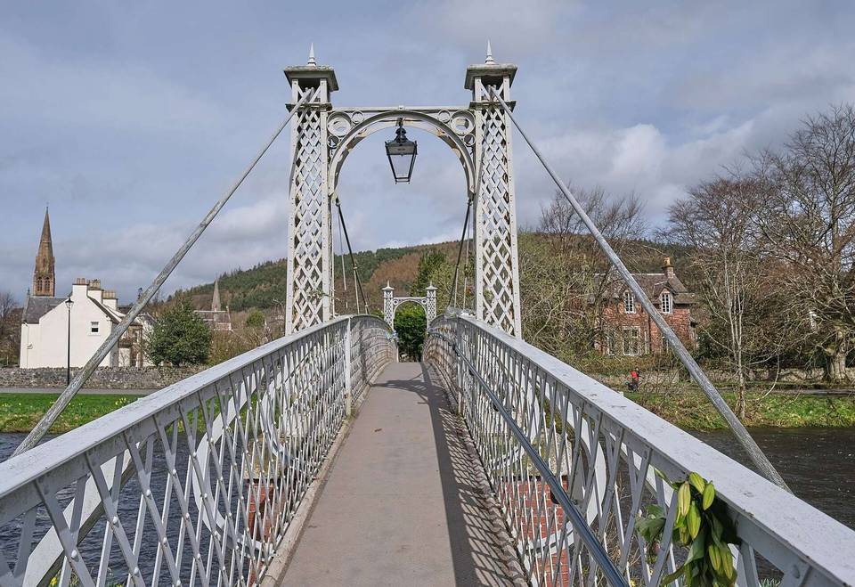
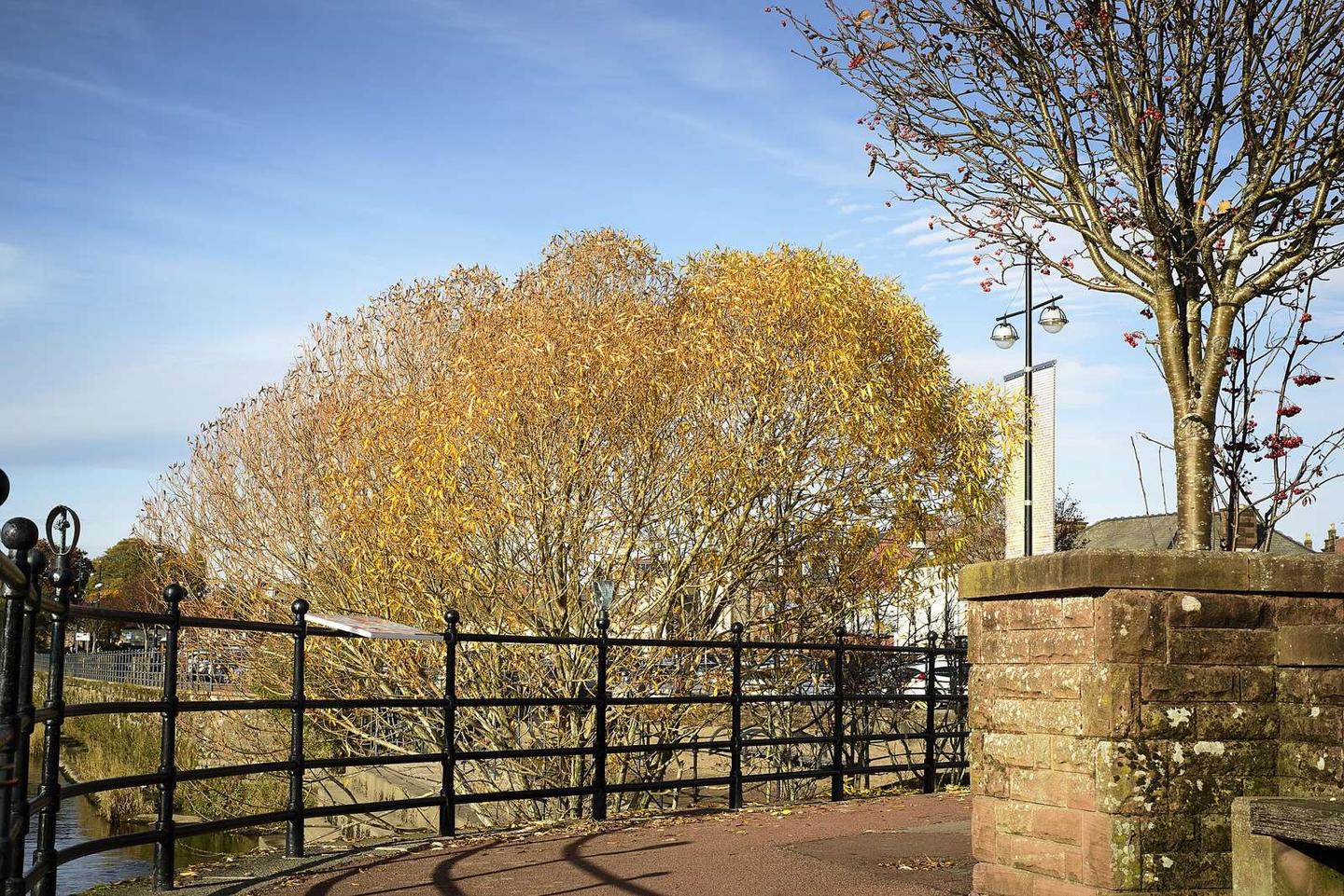
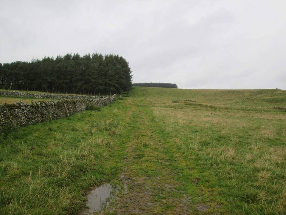
2 photographs from the road

Photo: James Johnstone from Ecclefechan, Scotland · CC BY 2.0 · Wikimedia Commons · Photo: Michael Garlick · CC BY-SA 2.0 · Wikimedia Commons · Photo: Steven Brown · CC BY-SA 2.0 · Wikimedia Commons

Stage of