Cyclists.com

Dumfries and Galloway Cycle Route

Brydekirk, Dumfries and Galloway, United KingdomRoad

Signed route The waymarked Dumfries and Galloway Cycle Route (Sustainable Travel Team, Dumfries and Galloway Council 11), traced from OpenStreetMap and measured against the terrain model; no member has recorded it yet. Ridden it? Add your recording and photos.

23 km
Distance
166 m
Elevation gain
Easy
Difficulty
Paved
Surface
Download GPXMap

Elevation profile

Total ascent
166 m
Distance
23 km
0255075100125m0 km510152023 km101 m · highest, at 9.6 kmStartFinish · back at the start

Route overview

This route suits riders looking for a short 22.5 km ride with moderate climbing of 166 m.

22.5 km loop cycle route in Dumfries and Galloway starting and finishing at Brydekirk.

The Dumfries and Galloway Cycle Route is a 22.5 km loop starting and finishing at Brydekirk. Early on it passes near Annan at 3.1 km. The route climbs this section, with a 1.8 km climb from km 4.8 gaining 46 m at an average gradient of 2.6%, with a maximum of 4%. The highest point is 101 m at 9.7 km with the lowest point at 8 m near 2.7 km. The first half of the route contains 56% of the total elevation gain of 166 m.

Highlights

  • Climb from km 4.8 to 6.6 with 46 m gain
  • Highest point at 101 m at 9.7 km
  • Passes near Annan at 3.1 km
  • Loop starts and ends at Brydekirk

Along the route

Measured from the recorded track and OpenStreetMap.

Places passed

  1. Annan 3.1 km

Climbs

ClimbStarts atLengthGainAverageMaxTop
4.8 km1.8 km46 m2.6 %4 %72 m

High point 101 m at 9.7 km; low point 8 m. Passes beneath Spittalridding Hill.

What this ride is like

Measured from OpenStreetMap along the track and the elevation profile.

Roads
58% main road · 36% minor road · 6% quiet street
Main roads
13.1 km on main roads without a cycle lane — likely busier
Fast roads
20.5 km on roads with a limit of 80 km/h or more
Main roads used
B722 (8 km), C49a (4 km)
Surface
Paved throughout
Gradient
23% climbing · 21% descending · 56% flat
Longest descent
3.2 km from 13.6 km, dropping 64 m

Along the way

Within a few hundred metres of the track, from OpenStreetMap. Opening hours change — treat this as where to look, not a promise.

Longest stretch without a café, shop or water: 19 km, from 4 km to 23 km.

Food, water and shops

  1. 2.9 kmWell Pharmacy · pharmacy · on the route
  2. 3.1 kmCorner House Coffee · café · on the route
  3. 3.1 kmMorrisons Daily · convenience store · on the route

Need to bail out?

  • 2.9 kmAnnan (station), 400 m off route

Whether bikes are carried depends on the service — check before relying on it.

Worth a stop

  • 3.4 kmMote of Annan, Motte (archaeological site)
  • 10.6 kmBonshaw Tile Works (archaeological site)
  • 18.1 kmHoddom Church (ruins)

Practical information

Surface
Paved
Route shape
Loop
Riding time
1 h 36 min
Best months
Jun to Sep — daily highs of 16–19 °C in those months

Know before you go

  • 18.5 km with no café, shop or water from km 4 to 22.5
  • 13.1 km on main roads without a cycle lane
  • 20.5 km on fast roads with posted limits of 80 km/h or more

Routes are for inspiration. Roads, surfaces and conditions change — check locally and ride within your limits.

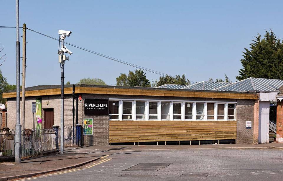
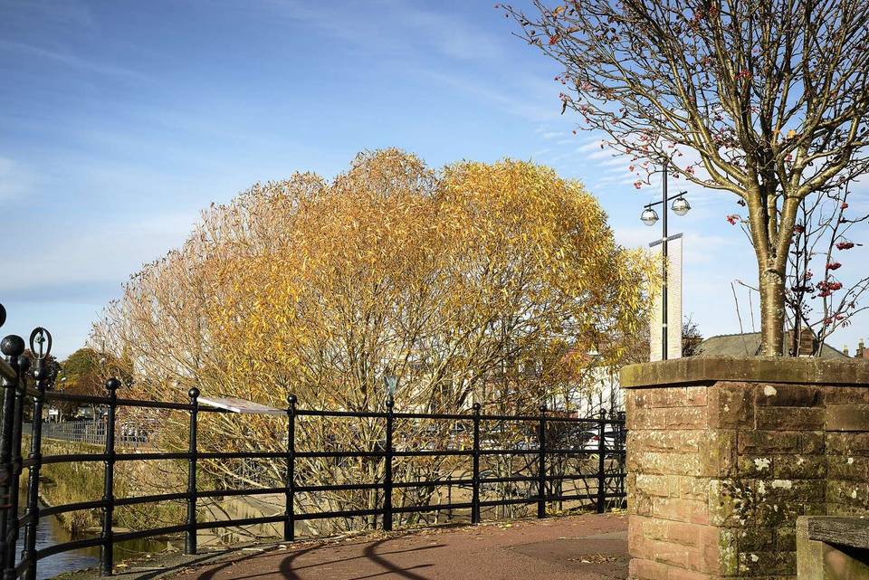
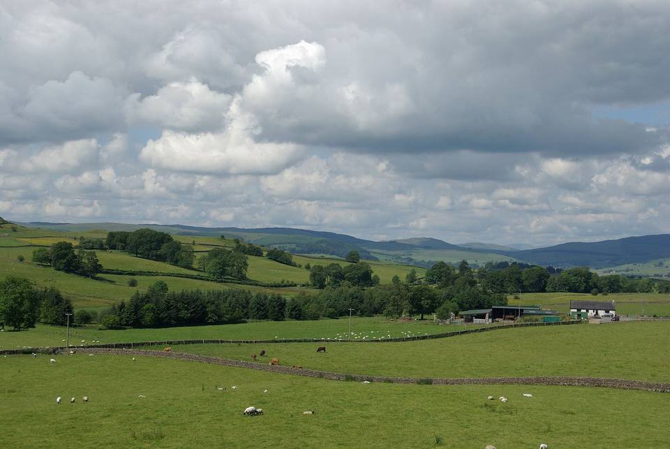
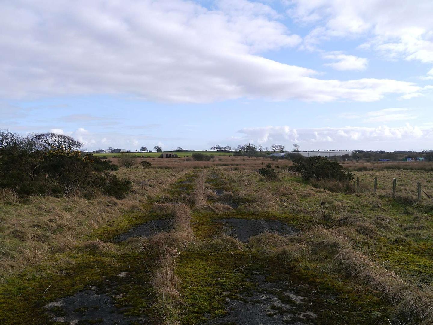
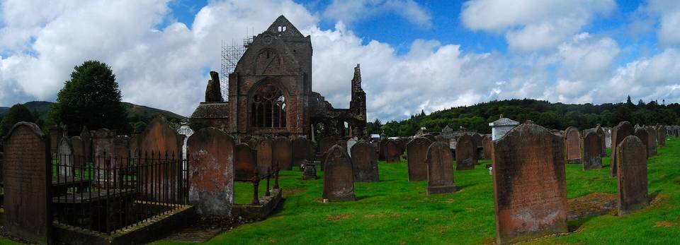
2 photographs from the road

Photo: James T M Towill · CC BY-SA 2.0 · Wikimedia Commons · Photo: Peter Wood · CC BY-SA 2.0 · Wikimedia Commons