New Abbey to Creetown
- 103 km
- 1,378 m
- Hard
- Mixed
Elevation profile
- 1,378 m
- 103 km
Route overview
Suitable for experienced cyclists who can manage 1378 m of climbing over 103 km.
Stage 1 of 2 of the Gallovidian Gravel (part): 103.0 km from New Abbey to Creetown with 1378 m of climbing, on the signed route.
Starting at New Abbey, the route heads out and soon begins a 6.9 km climb of 292 m averaging 4.2% gradient, reaching its highest point at 326 m around 8.9 km. The road surface is a mix of 56% paved and 44% gravel or unpaved surfaces. The roads include 41 km on tracks, 33.6 km on minor roads, 18.2 km on main roads, 4.3 km quiet streets, and 2.2 km cycle paths. Notably, there are 18.2 km on main roads without a cycle lane and 13 km of roads with speed limits of 80 km/h or more.
Highlights
- Climb to 326 m peak near Cuil Hill
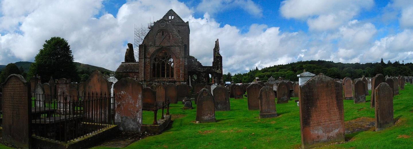
- Passing Sweetheart Abbey at start
- Long descent over 5.6 km near end
- Creetown Stores convenience at finish
Along the route
Places passed
Climbs
| Climb | Starts at | Length | Gain | Average | Max | Top |
|---|---|---|---|---|---|---|
| — | 2 km | 6.9 km | 292 m | 4.2 % | 8.1 % | 326 m |
| — | 34.8 km | 3.3 km | 86 m | 2.7 % | 5 % | 101 m |
| — | 47.1 km | 1.2 km | 51 m | 4.5 % | 7 % | 73 m |
| — | 65.9 km | 4.5 km | 125 m | 2.8 % | 5.6 % | 194 m |
| — | 76.5 km | 1.8 km | 66 m | 3.8 % | 5.7 % | 263 m |
| — | 85.9 km | 3.3 km | 116 m | 3.6 % | 7.3 % | 133 m |
| — | 90.9 km | 3.2 km | 167 m | 5.3 % | 9.8 % | 272 m |
What this ride is like
- Roads
- 41% track · 34% minor road · 18% main road · 4% quiet street
- Main roads
- 18.2 km on main roads without a cycle lane — likely busier
- Fast roads
- 13 km on roads with a limit of 80 km/h or more
- Main roads used
- Corse of Slakes Road (8 km), B793 (5 km), A710 (4 km), C13s (3 km)
- Surface
- 56% paved · 44% gravel or unpaved
- Gradient
- 32% climbing · 28% descending · 40% flat
- Steep sections
- 5.3 km over 5% · 1.1 km over 8% · steepest 500 m averages 9.1% at 95.3 km
- Longest descent
- 5.6 km from 97.3 km, dropping 254 m
Along the way
Longest stretch without a café, shop or water: 28 km, from 0 km to 28 km.
Food, water and shops
- 0.2 kmNew Abbey Tearooms · café · on the route
- 0.2 kmToilets · 30 m off route
- 28.4 kmToilets · 60 m off route
- 30.7 kmRepair stand · 490 m off route
- 34.8 kmThe Ark · café · on the route
- 35.2 kmToilets · 40 m off route
- 43.7 kmMPG Cycles · bike shop · 320 m off route
- 43.9 kmThe Co-operative Food · supermarket · 40 m off route
- 44.1 kmEsso · petrol station · on the route
- 54.6 kmTesco · supermarket · 100 m off route
- 54.8 kmCrown Filling Station · petrol station · 40 m off route
- 54.9 kmToilets · 80 m off route
- 55.2 kmCastle Douglas Cycle Centre · bike shop · 60 m off route
- 66.3 kmCafé · 70 m off route
- 84.8 kmWheels of Fleet · bike shop · 80 m off route
- 84.9 kmSpar · supermarket · 50 m off route
- 84.9 kmTop Up Tap · drinking water · 40 m off route
- 99.5 kmPub · on the route
Worth a stop
- 0.2 km — Sweetheart Abbey (attraction)
- 17.3 km — The Brough, Motte (archaeological site)
- 29.5 km — Crannog (archaeological site)
- 34.3 km — Muckle (viewpoint)
- 59.6 km — Roman Fort (archaeological site)
- 87.3 km — Anwoth Old Kirk (ruins)
At the start
- New Abbey Tearooms · café · 190 m
At the finish
- Creetown Stores · convenience store · 210 m
Stay after this ride
- Creetown Caravan Park · campsite · 240 m from the finish
- Barholm Accomodation · hotel · 280 m from the finish
- Castle Cary Holiday Park · campsite · 1.1 km from the finish
Practical information
- Mixed
- Point to point
- 7 h 21 min
- Jun to Sep — daily highs of 16–18 °C in those months
Know before you go
- Longest stretch without café, shop or water for 27.5 km from 0.2 km to 27.7 km
- 18.2 km on main roads without a cycle lane
- 13 km on roads with speed 80 km/h or more
- 44% gravel or unpaved sections