Cyclists.com

Creetown to Glentrool Village

Creetown, Dumfries and Galloway, United KingdomMixed

Signed route The waymarked Gallovidian Gravel (part) (National Cycle Network), traced from OpenStreetMap and measured against the terrain model; no member has recorded it yet. Stage 2 of 2 of the Gallovidian Gravel (part). Ridden it? Add your recording and photos.

41 km
Distance
501 m
Elevation gain
Moderate
Difficulty
Mixed
Surface
Download GPXMap

Elevation profile

Total ascent
501 m
Distance
41 km
050100150200m0 km10203041 km171 m · highest, at 31.5 kmStartFinish

Route overview

Suitable for cyclists prepared for moderate climbs over 40 km and some unpaved surfaces.

Stage 2 of 2 of the Gallovidian Gravel (part): 40.6 km from Creetown to Glentrool Village with 501 m of climbing, on the signed route.

The ride starts at Creetown passing through Spittal and Strathmaddie early on. The surface is mostly paved (81%) with 19% gravel or unpaved, riding primarily on minor roads (51%) and quiet streets (24%), plus 13% on tracks and 9% on cycle paths. Initially, the route stays low until a climb starting at 6.7 km raises the altitude by 94 m over 2.4 km, with an average gradient of 3.9% and a maximum of 6.3%, reaching 116 m. The ride continues through Palnure and Newton Stewart. Between 7.3 km and the finish at 40.2 km, there is a long stretch of about 33 km without cafés, shops, or water. The second climb begins at 28.5 km, gaining 114 m over 2.8 km with an average gradient of 4.2% and max 6.9%, peaking near 171 m at 31.2 km. The final climb starts around 35.4 km with a milder 55 m gain over 2.2 km averaging 2.5%. Places to note include Minnigaff at 17.2 km and Caldon at 34.6 km, with minor services like a bike shop and toilets available around 7.4 km off route. The highest point on the route is 171 m.

Highlights

  • Peaks near the road: Daltamie Hill, Larg Hill, Path Hill
  • Longest climb gains 114 m at 4.2% average gradient
  • Passes through Newton Stewart and Minnigaff
  • Longest descent is 1.9 km dropping 55 m

Along the route

Measured from the recorded track and OpenStreetMap.

Places passed

  1. Spittal 2.1 km
  2. Strathmaddie 5.2 km
  3. Palnure 5.4 km
  4. Newton Stewart 17.2 km
  5. Minnigaff 17.2 km
  6. Caldons 34.6 km

Climbs

ClimbStarts atLengthGainAverageMaxTop
6.7 km2.4 km94 m3.9 %6.3 %116 m
28.5 km2.8 km114 m4.2 %6.9 %171 m
35.4 km2.2 km55 m2.5 %5.1 %137 m

High point 171 m at 31.2 km; low point 11 m. Passes beneath Daltamie Hill, Larg Hill, Path Hill.

What this ride is like

Measured from OpenStreetMap along the track and the elevation profile.

Roads
51% minor road · 24% quiet street · 13% track · 9% cycle path
Fast roads
1.8 km on roads with a limit of 80 km/h or more
Cycle paths
3.5 km on cycle paths or roads with a cycle lane
Surface
81% paved · 19% gravel or unpaved
Gradient
33% climbing · 26% descending · 42% flat
Steep sections
2 km over 5% · steepest 500 m averages 6.7% at 30.1 km

Along the way

Within a few hundred metres of the track, from OpenStreetMap. Opening hours change — treat this as where to look, not a promise.

Longest stretch without a café, shop or water: 33 km, from 7 km to 40 km.

Food, water and shops

  1. 0 kmPub · on the route
  2. 0 kmCreetown Stores · convenience store · 210 m off route
  3. 7.3 kmCafé · 130 m off route
  4. 7.4 kmToilets · 140 m off route
  5. 7.4 kmThe Breakpad Bike Shop · bike shop · 140 m off route
  6. 17.2 kmCreebridge Mill · pharmacy · 750 m off route

Worth a stop

  • 0.1 kmGem Rock Museum (attraction)
  • 17.2 kmMinnigaff Motte (archaeological site)
  • 38 kmBruce's Stone (monument)

At the start

  • Creetown Stores · convenience store · 210 m

Practical information

Surface
Mixed
Route shape
Point to point
Riding time
2 h 54 min
Best months
Jun to Sep — daily highs of 16–18 °C in those months

Know before you go

  • Longest stretch without café, shop or water is 32.9 km from 7.3 km
  • 1.8 km on roads with speed limits above 80 km/h
  • 19% of route on gravel or unpaved surfaces

Routes are for inspiration. Roads, surfaces and conditions change — check locally and ride within your limits.

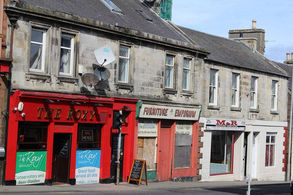
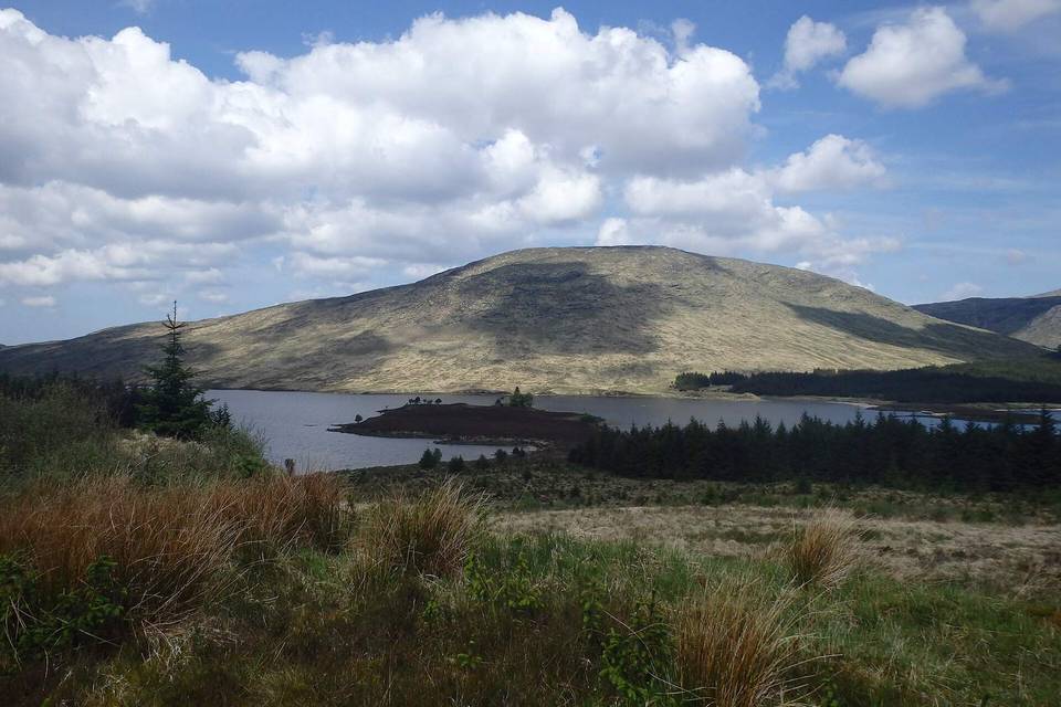
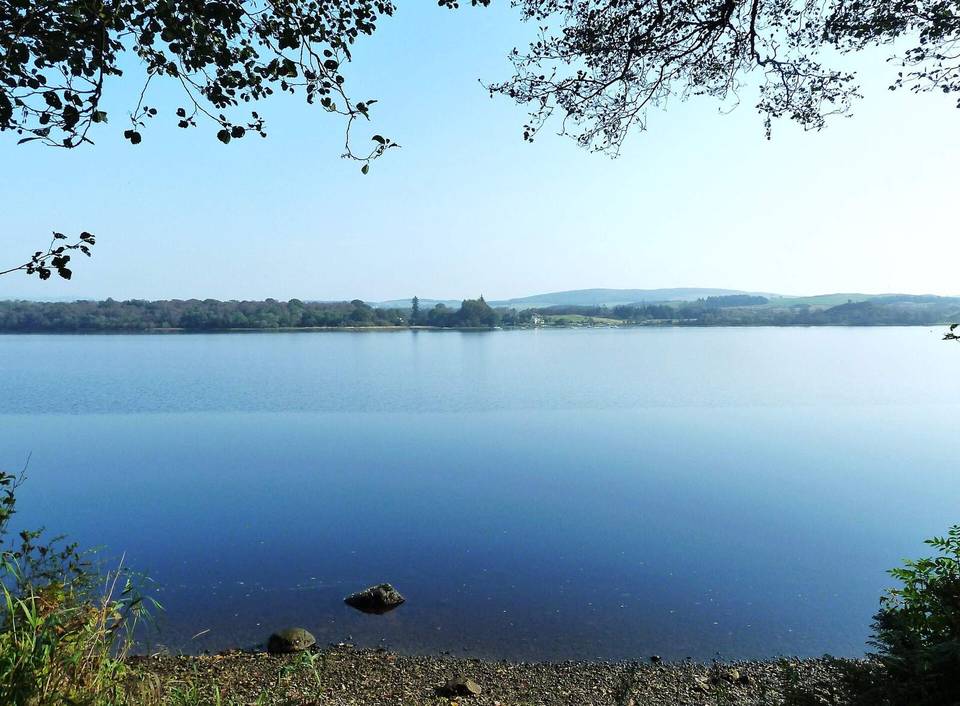
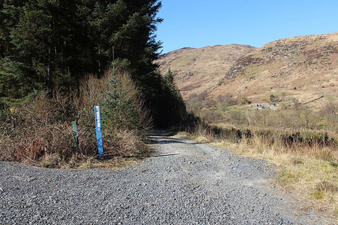
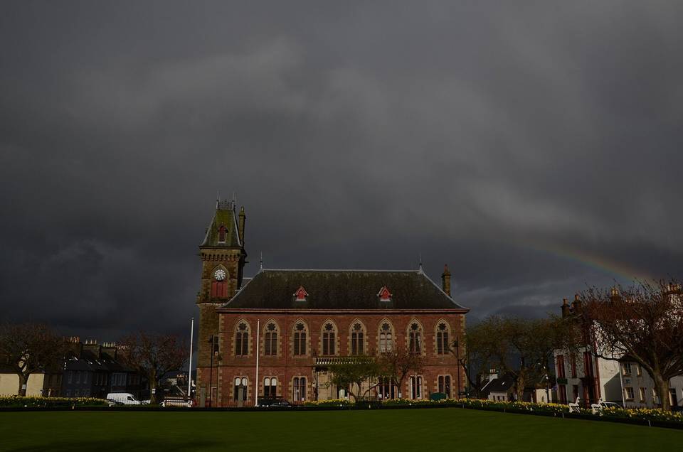
2 photographs from the road

Photo: Eirian Evans · CC BY-SA 2.0 · Wikimedia Commons · Photo: Billy McCrorie · CC BY-SA 2.0 · Wikimedia Commons · Photo: Anthony O'Neil · CC BY-SA 2.0 · Wikimedia Commons

Stage of