Road · United Kingdom
A hilly 54 km mixed-surface cycling loop from Glentrool Village, Dumfries and Galloway through Caldons, Newton Stewart and Minnigaff, with 759 m of climbing. The first 54 km has no café, shop or water. Mixed surface: 50% is mapped as paved and 50% as gravel or unpaved.
The route starts from Glentrool Village and heads to Caldons at 7.9 km. Early climbing includes a 1.6 km rise from 3.2 km gaining 46 m at 2.8% average grade and another climb near Caldons of 2 km at 2.9%. The first half of the ride includes about 28% of the total elevation gain.
After Caldons the route continues to Newton Stewart at 25.2 km and Minnigaff at 25.3 km. There is a notable climb at 10.1 km lasting 1.1 km and reaching 171 m altitude with 3.9% average grade. Later, climbs include a 4.9 km ascent starting at 38.1 km gaining 183 m at 3.7%. The highest point is at 43.1 km at 356 m altitude.
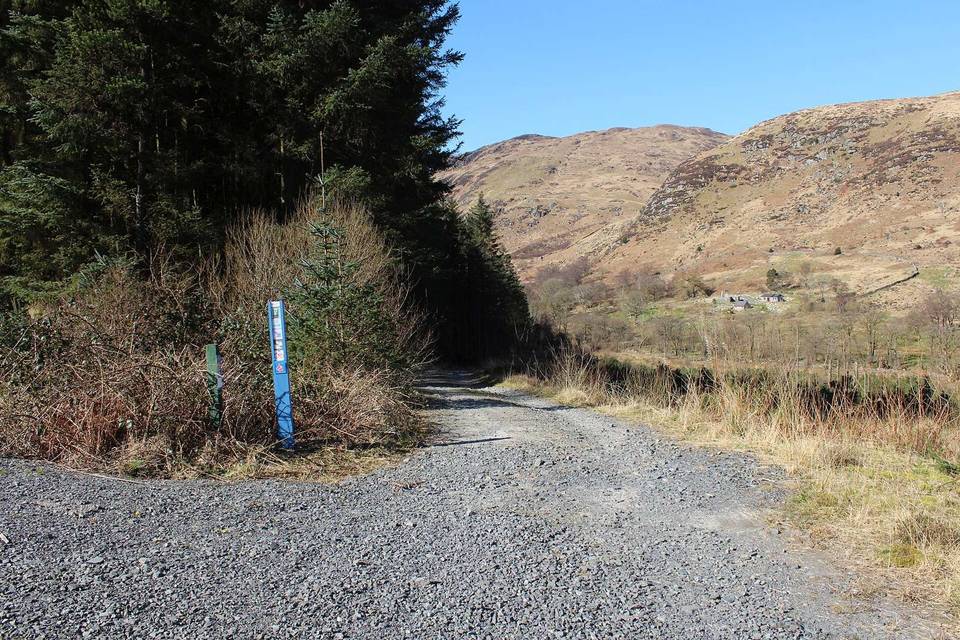
The surface is evenly split between paved and gravel or unpaved with 48% of the route on tracks, 35% on minor roads, and 17% on quiet streets. The route is a loop and does not have cafés, shops, or water for 53.5 km. Points of interest include Bruce's Stone near 4.5 km, Minnigaff Motte at 25.2 km, and Poultrybuie Hill at 41.3 km, near the highest road section.
The ride features 35% of climbing, 30% descending and 35% flat terrain, with 4 km over 5% gradient and half a km over 8%. The steepest 500 m section is 12.6% but is at the start.
| Climb | Starts at | On this ride | Top on this ride |
|---|---|---|---|
| Unnamed climb | 3.2 km | 1.6 km · 46 m · 2.8 % · max 5 % | 137 m |
| Unnamed climb | 7.5 km | 2 km · 57 m · 2.9 % · max 5 % | 137 m |
| Unnamed climb | 10.1 km | 1.1 km · 45 m · 3.9 % · max 6.1 % | 171 m |
| Unnamed climb | 25.3 km | 1.7 km · 59 m · 3.5 % · max 4.7 % | 78 m |
| Unnamed climb | 31.1 km | 2.4 km · 84 m · 3.5 % · max 5.9 % | 178 m |
| Unnamed climb | 34.5 km | 1.7 km · 50 m · 2.9 % · max 6.3 % | 216 m |
| Unnamed climb | 38.1 km | 4.9 km · 183 m · 3.7 % · max 8.8 % | 356 m |
| Unnamed climb | 45.7 km | 3 km · 68 m · 2.3 % · max 3.8 % | 264 m |
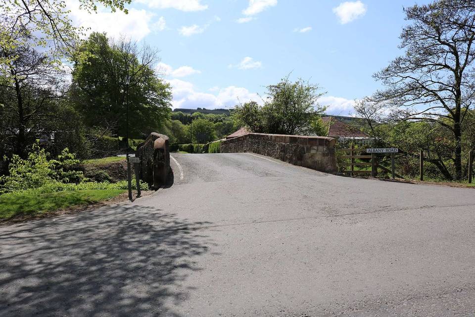
Mostly minor roads and streets on the map.
No café, shop or water point is mapped along the route - carry everything you need.