Mixed · United Kingdom
A rolling 32 km mixed-surface cycling loop from New Galloway, Dumfries and Galloway, with 220 m of climbing. There is a 23 km stretch without a café, shop or water (km 9–32). Mixed surface: 51% is mapped as paved and 49% as gravel or unpaved.
The Raiders' Road Cycle Route is a 32.3 km loop that starts and finishes in New Galloway. It features a single main climb beginning immediately, rising 113 m over 4.9 km averaging 2.3% and reaching a high point of 201 m near km 5.5. The ride then descends and levels out around km 26.6 at 51 m. The route profile is 24% climbing, 21% descending, and 55% flat, with only 0.1 km exceeding 8% gradient.
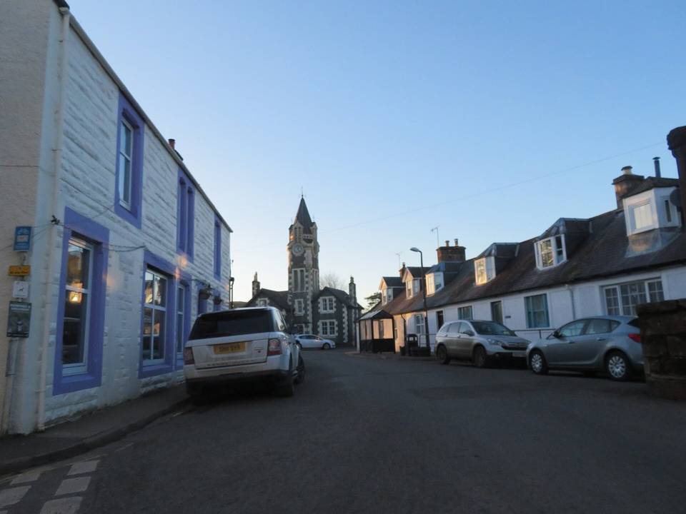
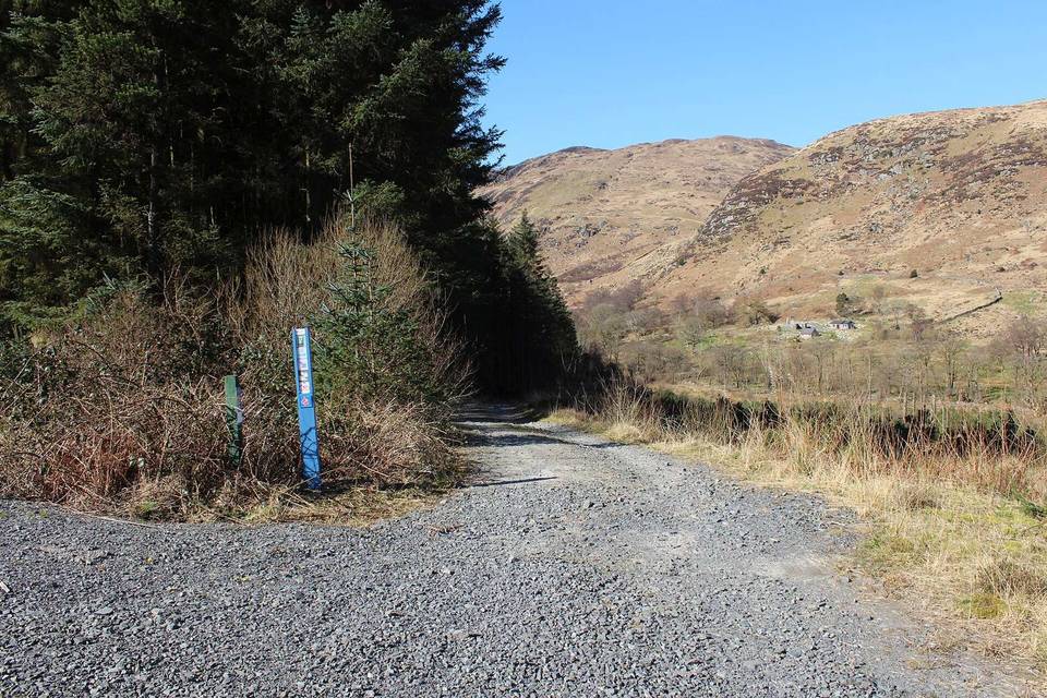
The surface is a roughly equal mix of paved (51%) and gravel or unpaved (49%) sections. In terms of road type, about half the distance is on quiet streets (49%), with 47% on main roads (including 15 km without cycle lanes and 14.7 km posted at 80 km/h or higher), mostly along the A712 (8.6 km) and A762 (6.3 km). Minor roads cover 4%. Between 8.6 km and the finish at 31.9 km there is a 23.3 km stretch with no café, shop, or water.
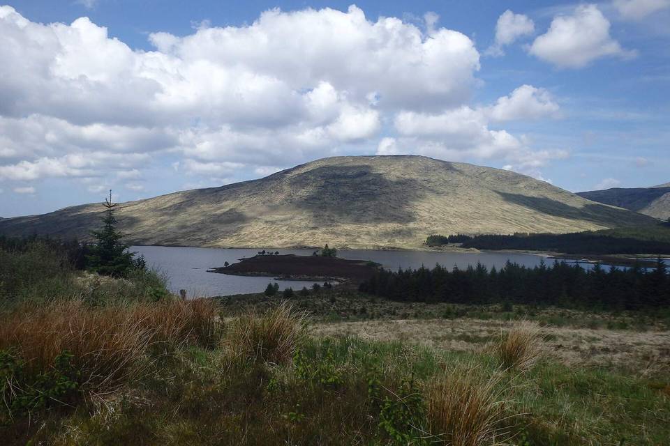
Facilities at New Galloway include cafés such as The Smithy and Catstrand and the community shop. Toilets are available at 8.6 km, 15.9 km, and the finish at 31.9 km. Points of interest near the route include Clatteringshaws Visitor Centre (km 8.6), Otter Pool picnic site (km 16.1), Lower Bennan viewpoint (km 26.1), and Kenmure Castle (km 30.8). The route passes beneath Bennan Hill (258 m) and Upper Tors close to km 26.5-26.7.
| Climb | Starts at | On this ride | Top on this ride |
|---|---|---|---|
| Unnamed climb | 0 km | 4.9 km · 113 m · 2.3 % · max 3.7 % | 201 m |
Expect stretches on main roads without a cycle lane (15 km in all) between quieter sections.
The longest stretch without a café, shop or water is 23 km, from km 9 to 32. Along the route: 3 cafés and restaurants, 1 shop and 3 public toilets.