Cyclists.com

Minnigaff to Girvan

Minnigaff, Dumfries and Galloway, United KingdomRoad

Signed route The waymarked National Byway (SW Scotland) (regional route NB), traced from OpenStreetMap and measured against the terrain model; no member has recorded it yet. Stage 4 of 5 of the National Byway (SW Scotland). Ridden it? Add your recording and photos.

80 km
Distance
705 m
Elevation gain
Hard
Difficulty
Paved
Surface
Download GPXMap

Elevation profile

Total ascent
705 m
Distance
80 km
0100200300400500m0 km20406080 km391 m · highest, at 31.3 kmStartFinish

Route overview

Suites riders ready for an 80 km route with 705 m of climbing including some sustained moderate climbs.

Stage 4 of 5 of the National Byway (SW Scotland): 80.1 km from Minnigaff to Girvan with 705 m of climbing, on the signed route.

The route starts at Minnigaff and heads southeast passing through Glentrool Village at 15.7 km. The first climb of 3.1 km averaging 2.5% gradient begins there, reaching 182 m. Continuing after km 25.5, a longer climb of 5.3 km at 3.1% gradient gains 162 m reaching the highest point at 391 m near km 30.8, close to Craiglaigh Hill and Pinbreck Hill. From about km 39, the route goes through several small places: Upper Barr, Nether Barr, Barr, Pinmore, Poundland, and Lendalfoot. The road surface is paved 99% of the time, mostly on minor roads (69%), with 21.2 km on main roads including the B734 and A714. There is one short stretch of gravel or unpaved track making 1% of the route. Climbs after km 56 are shorter: three climbs between 1.7 and 2.6 km with gradients around 2–3%. The route finishes in Girvan at 78.5 km, near several cafés, shops, and bike repair facilities. The longest stretch without café, shop, or water runs from 14.7 km to 75.9 km, roughly 61 km. Facilities at start are unlisted but Girvan offers multiple food and drink options and a railway station for bailout.

Highlights

  • Climb to 391 m near Craiglaigh Hill
  • Passes Glentrool Village at 15.7 km
  • Longest descent 4.5 km dropping 128 m from km 73
  • Finishes at Girvan with various amenities

Along the route

Measured from the recorded track and OpenStreetMap.

Places passed

  1. Glentrool Village 15.7 km
  2. Upper Barr 39.3 km
  3. Nether Barr 39.8 km
  4. Barr 40.8 km
  5. Pinmore 49.3 km
  6. Poundland 53.9 km
  7. Lendalfoot 60.4 km

Climbs

ClimbStarts atLengthGainAverageMaxTop
15.7 km3.1 km78 m2.5 %4 %182 m
25.5 km5.3 km162 m3.1 %6.4 %391 m
56 km2.6 km74 m2.8 %4 %126 m
61.2 km2.1 km44 m2.1 %3.6 %50 m
65.7 km1.7 km44 m2.6 %3.5 %138 m

High point 391 m at 30.8 km; low point 5 m. Passes beneath Arroch Hill, Suie Hill, Craiglaigh Hill.

What this ride is like

Measured from OpenStreetMap along the track and the elevation profile.

Roads
69% minor road · 27% main road · 2% quiet street · 1% track
Main roads
21.4 km on main roads without a cycle lane — likely busier
Fast roads
15.9 km on roads with a limit of 80 km/h or more
Main roads used
B734 (12 km), A714 (8 km), Nic O the Balloch (6 km)
Surface
Paved throughout
Gradient
24% climbing · 19% descending · 57% flat
Steep sections
0.6 km over 5% · steepest 500 m averages 6% at 30.3 km
Longest descent
4.5 km from 73 km, dropping 128 m

Along the way

Within a few hundred metres of the track, from OpenStreetMap. Opening hours change — treat this as where to look, not a promise.

Longest stretch without a café, shop or water: 61 km, from 15 km to 76 km.

Food, water and shops

  1. 0 kmCreebridge Mill · pharmacy · 730 m off route
  2. 14.7 kmGlentrool Visitor Centre · café · 90 m off route
  3. 14.7 kmToilets · 90 m off route
  4. 78.5 kmMaly's Cafe · café · 50 m off route
  5. 78.5 kmNisa Local · convenience store · 190 m off route
  6. 78.5 kmToilets · 90 m off route
  7. 78.5 kmRepair stand · 320 m off route
  8. 78.5 kmBoots · pharmacy · 130 m off route

Need to bail out?

  • 78.3 kmGirvan (station), 460 m off route

Whether bikes are carried depends on the service — check before relying on it.

Worth a stop

  • 0.1 kmMinnigaff Motte (archaeological site)
  • 60.4 kmCarleton Castle (castle)
  • 75.4 kmShalloch Hill (peak, 69 m)

At the finish

  • Maly's Cafe · café · 50 m
  • Flynn's Boatyard · pub · 20 m
  • Mr Chips · fast food · 50 m
  • Bob's Ice Cream Kiosk · ice cream · 90 m
  • Boots · pharmacy · 130 m

Stay after this ride

  • Woodland Bay Hotel · hotel · 3.1 km from the finish

Practical information

Surface
Paved
Route shape
Point to point
Riding time
5 h 43 min
Best months
Jun to Aug — daily highs of 17–18 °C in those months

Know before you go

  • Longest stretch without café or shop for 61.2 km from 14.7 to 75.9 km
  • 21.4 km on main roads without cycle lanes
  • 15.9 km on roads with speed limits 80 km/h or more
  • 0.8 km on gravel or unpaved track

Routes are for inspiration. Roads, surfaces and conditions change — check locally and ride within your limits.

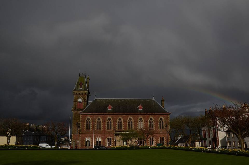
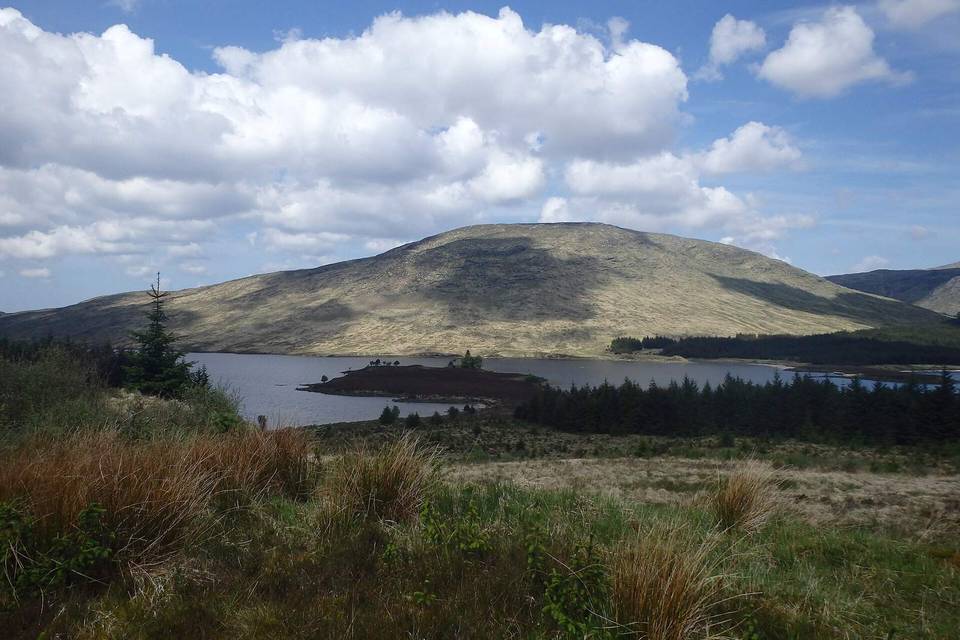
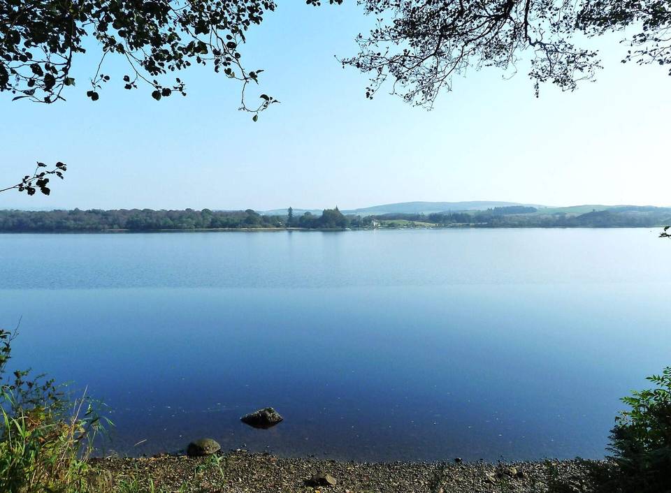
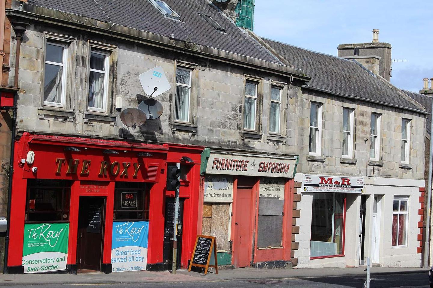
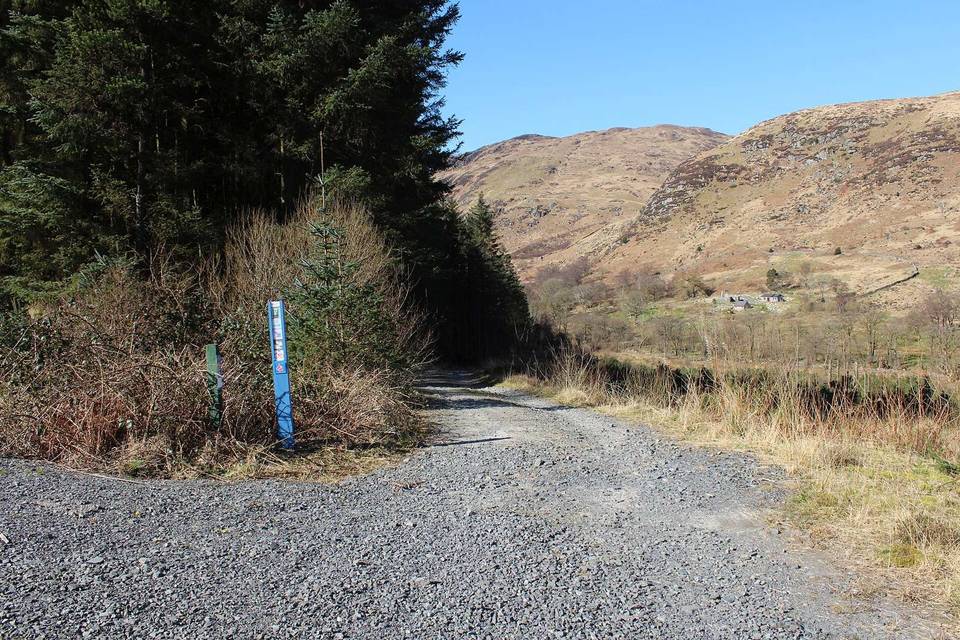
2 photographs from the road

Photo: Leslie Barrie · CC BY-SA 2.0 · Wikimedia Commons · Photo: Anthony O'Neil · CC BY-SA 2.0 · Wikimedia Commons · Photo: Peter Wood · CC BY-SA 2.0 · Wikimedia Commons

Stage of