Cyclists.com

Wigtown to Cairnryan

Wigtown, Dumfries and Galloway, United KingdomRoad

Signed route The waymarked EuroVelo 1 (EuroVelo EV1), traced from OpenStreetMap and measured against the terrain model; no member has recorded it yet. Stage 7 of 7 of the EuroVelo 1. Ridden it? Add your recording and photos.

60 km
Distance
244 m
Elevation gain
Moderate
Difficulty
Paved
Surface
Download GPXMap

Elevation profile

Total ascent
244 m
Distance
60 km
0255075100125m0 km204059 km115 m · highest, at 15.8 kmStartFinish

Route overview

This ride suits cyclists looking for a moderate distance with some gentle climbing.

Stage 7 of 7 of the EuroVelo 1: 59.5 km from Wigtown to Cairnryan with 244 m of climbing, on the signed route.

Starting in Wigtown, the route passes through Bladnoch at 1.9 km, then continues through Auchenmalg, Stairhaven, Balcarry, and Glenluce. The profile features a total elevation gain of 244 m, with the highest point of 114 m at 15.7 km and the lowest point of 1 m near 51.1 km. A climb begins near 22.9 km, gaining 41 m over 1.7 km with gentle gradients up to 3.4%. The route is almost entirely paved (99%), with a very small amount of gravel or unpaved surface (1%). The road mix includes 25.5 km on main roads, 16.3 km on minor roads, 6.7 km on major roads, and 6.4 km on cycle paths. Main roads without a cycle lane total 32.2 km, and there are 3 km on roads with 80 km/h speed limits or above. The B7005 is the longest named road section, ridden for 15.7 km. Key places to stop for food and drink include Café Rendevous near the start, The Cock Inn at 22.6 km, The Crown Hotel at Glenluce, and The Bunker Snack Bar near Stranraer. There are supermarkets at Wigtown, Glenluce, and Stranraer, with water available at 47.9 km. Toilets can be found near the start, at 28 km, and at 48.4 km. The longest stretch without a café, shop, or water is 20.7 km from 1.9 km to 22.6 km. Bailout options include Stranraer station and the P&O Cairnryan Ferry Terminal. The route passes near several peaks including Lingham Hill at 3.3 km and Chapel Hill at 7.8 km. The ride ends at Cairnryan near Lochryan House and ferry terminals.

Highlights

  • Climb starting at 22.9 km with 41 m gain
  • Highest point at 15.7 km (114 m)
  • Longest stretch without café/shop/water: 20.7 km
  • Ferry terminals at Cairnryan finish

Along the route

Measured from the recorded track and OpenStreetMap.

Places passed

  1. Auchenmalg 23.1 km
  2. Stairhaven 28 km
  3. Balcarry 29.9 km
  4. Glenluce 31.9 km
  5. Dunragit 37.3 km
  6. Stranraer 48.8 km

Climbs

ClimbStarts atLengthGainAverageMaxTop
22.9 km1.7 km41 m2.5 %3.4 %54 m

High point 114 m at 15.7 km; low point 1 m. Passes beneath Philip Hill, Low Cotland, House HillHill.

What this ride is like

Measured from OpenStreetMap along the track and the elevation profile.

Roads
43% main road · 28% minor road · 11% major road · 11% cycle path
Main roads
32.2 km on main roads without a cycle lane — likely busier
Fast roads
3 km on roads with a limit of 80 km/h or more
Cycle paths
6.4 km on cycle paths or roads with a cycle lane
Main roads used
B7005 (16 km), A747 (8 km), A77 (6 km)
Surface
Paved throughout
Gradient
12% climbing · 10% descending · 78% flat
Longest descent
2.6 km from 15.9 km, dropping 90 m

Along the way

Within a few hundred metres of the track, from OpenStreetMap. Opening hours change — treat this as where to look, not a promise.

Longest stretch without a café, shop or water: 21 km, from 2 km to 23 km.

Food, water and shops

  1. 0.1 kmToilets · 60 m off route
  2. 0.1 kmWigtown Pharmacy · pharmacy · on the route
  3. 0.3 kmCafe Rendevous · café · on the route
  4. 0.3 kmThe Co-operative Food · supermarket · 30 m off route
  5. 1.9 kmPetrol station · 100 m off route
  6. 22.6 kmThe Cock Inn · pub · on the route
  7. 28 kmToilets · on the route
  8. 31.9 kmThe Crown Hotel · pub · 350 m off route
  9. 31.9 kmKeyStore · convenience store · 270 m off route
  10. 47.9 kmDrinking water · 210 m off route
  11. 48.4 kmToilets · 30 m off route
  12. 48.7 kmMorrisons · petrol station · 200 m off route
  13. 48.8 kmGordons Chemists · pharmacy · 410 m off route
  14. 50.7 kmThe Bunker Snack Bar · fast food · on the route

Need to bail out?

  • 48.8 kmStranraer (station), 620 m off route
  • 56.9 kmP&O Cairnryan Ferry Passenger Terminal (ferry), 60 m off route

Whether bikes are carried depends on the service — check before relying on it.

Worth a stop

  • 0.1 kmNew Mercat Cross (monument)
  • 3.3 kmLingham Hill (peak)
  • 7.8 kmChapel Hill (peak)
  • 31.2 kmGlenluce Roman Camp (archaeological site)

At the start

  • ReadingLasses · café · 110 m
  • The Florentine · café · 230 m
  • The Co-operative Food · supermarket · 240 m
  • The Galloway Inn · pub · 160 m
  • The Wigtown Ploughman · pub · 220 m

At the finish

  • Stena Line Ferry Cairnryan Terminal · ferry · 370 m
  • Stena Line Loch Ryan Port · ferry · 490 m

Stay after this ride

  • Homestead B&B · guest house · 2.2 km from the finish
  • Cairnryan Heights Holiday Park · campsite · 2.3 km from the finish
  • Rhinns of Galloway · guest house · 3.6 km from the finish
  • Corsewall Estate Garden Cottage · apartment · 3.0 km from the finish
  • Corsewall Estate Stables Cottage · apartment · 3.1 km from the finish

Practical information

Surface
Paved
Route shape
Point to point
Riding time
4 h 15 min
Best months
Jun to Sep — daily highs of 16–18 °C in those months

Know before you go

  • 32.2 km on main roads without a cycle lane
  • 3 km on roads with 80 km/h+ speed limit
  • 20.7 km longest stretch without café/shop or water

Routes are for inspiration. Roads, surfaces and conditions change — check locally and ride within your limits.

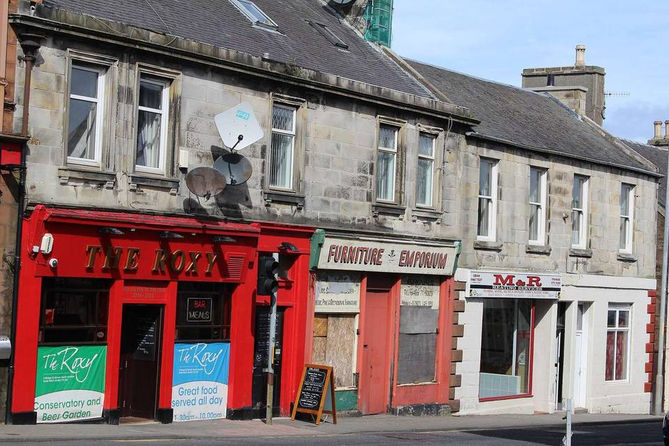
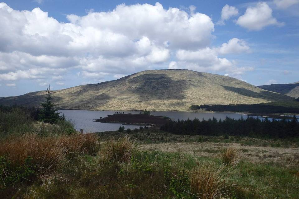
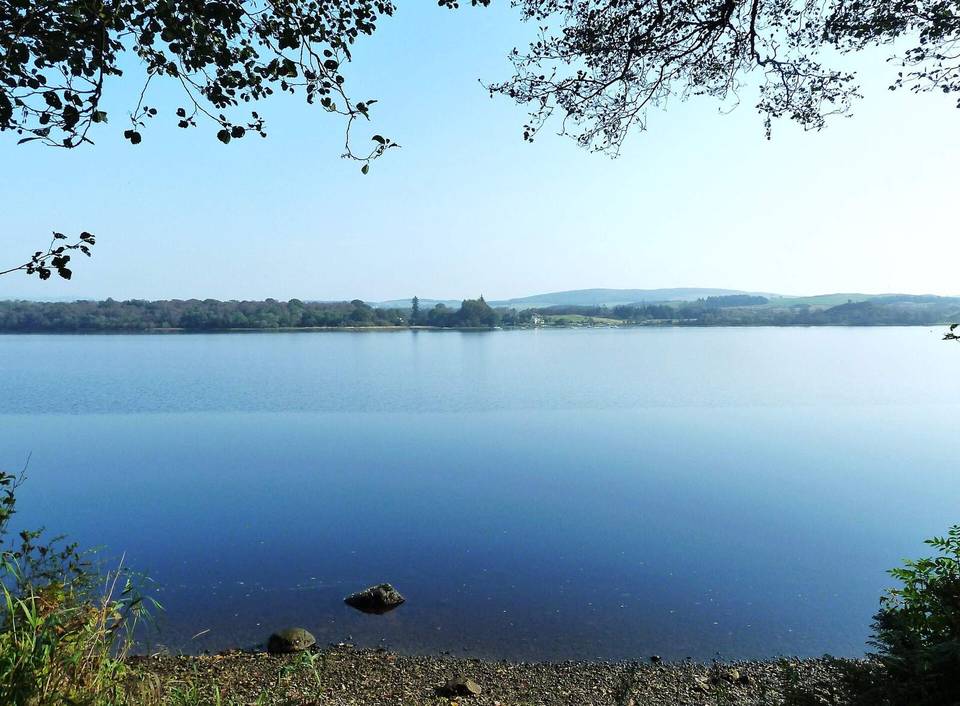
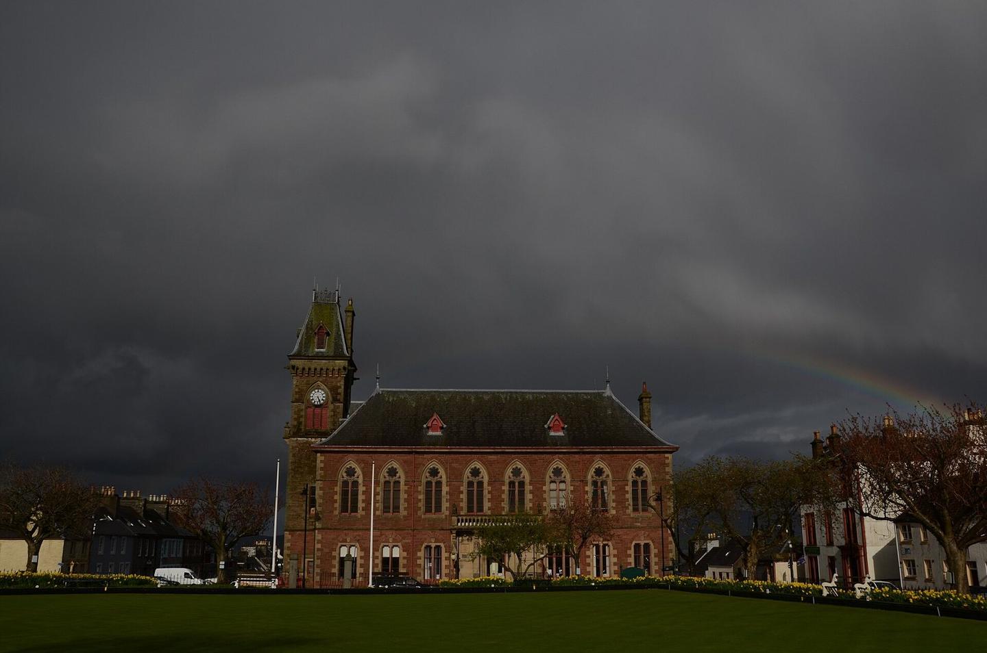
2 photographs from the road

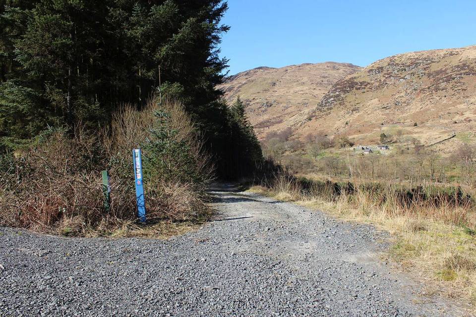
Photo: Pete Goodwin · CC BY-SA 4.0 · Wikimedia Commons · Photo: Ann Cook · CC BY-SA 2.0 · Wikimedia Commons · Photo: Billy McCrorie · CC BY-SA 2.0 · Wikimedia Commons

Stage of