Cyclists.com

Ayr to Wigtown

Ayr, South Ayrshire, United KingdomRoad

Signed route The waymarked EuroVelo 1 (EuroVelo EV1), traced from OpenStreetMap and measured against the terrain model; no member has recorded it yet. Stage 6 of 7 of the EuroVelo 1. Ridden it? Add your recording and photos.

90 km
Distance
948 m
Elevation gain
Hard
Difficulty
Paved
Surface
Download GPXMap

Elevation profile

Total ascent
948 m
Distance
90 km
0100200300400500m0 km2040608090 km391 m · highest, at 44.7 kmStartFinish

Route overview

This ride suits experienced cyclists prepared for 948 m of climbing over 90 km.

Stage 6 of 7 of the EuroVelo 1: 90.2 km from Ayr to Wigtown with 948 m of climbing, on the signed route.

The ride starts from Ayr at 2 m height, quickly passing through Wallacetown, Fort, Seafield, Alloway, and Doonfoot before reaching the first serious climbs from 8.6 km onward. The first climb is 2.4 km long with an average gradient of 6.5% reaching 203 m at its top. A second smaller climb starts at 13 km with 2.5 km length and gentler gradients. The route then progresses through Maybole and Crosshill with another long climb from 25.8 km lasting 7.9 km, averaging 3.4% slope and reaching 311 m. The route surface is mostly paved (98%) and mainly on minor roads (82%). There are 4 km on main roads without a cycle lane, and a total of 6.1 km on roads with speed limits of 80 km/h or more. Cycle paths or lanes occur on 4.1 km and quieter roads like cycle paths, paths, and quiet streets combine for 11.2 km of the route. The long descent of 5.2 km begins near 44.9 km where the highest point at 391 m is reached. The route then passes through Glentrool Village, Minnigaff, Newton Stewart, and Lamachan View before finishing at Wigtown at 2 m height. Facilities are found at the start and finish, and several cafés and shops are available along the way, notably in Ayr, Maybole, Glentrool Visitor Centre, Minnigaff, and Wigtown. Despite this, a 33.6 km stretch from 25.8 to 59.4 km lacks cafés, shops or water. There are bike shops at Ayr and Newton Stewart, and public toilets are accessible at multiple points including Ayr, Maybole, Crosshill, Glentrool, Minnigaff, and Wigtown.

Highlights

  • Climb to 203 m at 9 km with 11.8% max gradient
  • Longest climb 7.9 km from 25.8 km
  • Highest point 391 m at 43.3 km
  • Glentrool Visitor Centre café at 59.4 km

Along the route

Measured from the recorded track and OpenStreetMap.

Places passed

  1. Seafield 2.6 km
  2. Alloway 3.6 km
  3. Doonfoot 3.9 km
  4. Maybole 19.7 km
  5. Crosshill 25.9 km
  6. Glentrool Village 58.4 km
  7. Minnigaff 75 km
  8. Newton Stewart 75.2 km
  9. Lamachan View 78.4 km
  10. Wigtown 88.1 km

Climbs

ClimbStarts atLengthGainAverageMaxTop
8.6 km2.4 km152 m6.5 %11.8 %203 m
13 km2.5 km72 m2.9 %4.7 %172 m
25.8 km7.9 km269 m3.4 %6.3 %311 m
39.1 km4.2 km234 m5.5 %9.6 %391 m

High point 391 m at 43.3 km; low point 2 m. Passes beneath Doughty Hill, Pinbreck Hill, Craiglaigh Hill.

What this ride is like

Measured from OpenStreetMap along the track and the elevation profile.

Roads
82% minor road · 5% main road · 4% cycle path · 4% path
Main roads
4 km on main roads without a cycle lane — likely busier
Fast roads
6.1 km on roads with a limit of 80 km/h or more
Cycle paths
4.1 km on cycle paths or roads with a cycle lane
Main roads used
Nic O the Balloch (6 km)
Surface
Paved throughout
Gradient
24% climbing · 25% descending · 52% flat
Steep sections
6 km over 5% · 1.2 km over 8% · 0.7 km over 10% · steepest 500 m averages 10.1% at 9.8 km
Longest descent
5.2 km from 44.9 km, dropping 163 m

Along the way

Within a few hundred metres of the track, from OpenStreetMap. Opening hours change — treat this as where to look, not a promise.

Longest stretch without a café, shop or water: 34 km, from 26 km to 59 km.

Food, water and shops

  1. 0 kmAldi · supermarket · 190 m off route
  2. 0 kmTop Up Tap · drinking water · 190 m off route
  3. 0 kmCarrick Cycles · bike shop · 280 m off route
  4. 2.3 kmToilets · 60 m off route
  5. 2.3 kmSeafield Pharmacy · pharmacy · 140 m off route
  6. 20 kmSpar · supermarket · 150 m off route
  7. 20 kmJET · petrol station · 160 m off route
  8. 20.1 kmToilets · 80 m off route
  9. 25.8 kmCrosshill Post Office · convenience store · 50 m off route
  10. 59.4 kmGlentrool Visitor Centre · café · 150 m off route
  11. 59.4 kmToilets · 150 m off route
  12. 75.1 kmCreebridge Mill · pharmacy · 100 m off route
  13. 75.2 kmStudio Velo · bike shop · 560 m off route
  14. 75.5 kmToilets · 80 m off route
  15. 75.7 kmGulf · petrol station · 160 m off route
  16. 88.1 kmReadingLasses · café · 110 m off route
  17. 88.1 kmToilets · 200 m off route
  18. 88.1 kmPetrol station · 220 m off route

Need to bail out?

  • 0 kmAyr (station), 820 m off route
  • 19.9 kmMaybole (station), 60 m off route

Whether bikes are carried depends on the service — check before relying on it.

Worth a stop

  • 0.3 kmMiller's Folly (c. 1853) (ruins)
  • 5 kmGreenan Castle (castle)
  • 20 kmMaybole Castle (castle)
  • 74.1 kmMinnigaff Motte (archaeological site)
  • 78.2 kmNinian's Well (ruins)
  • 87.9 kmWar Memorial (monument)

At the start

  • Pandora Coffee House · café · 90 m
  • Smugglers · pub · 40 m
  • Narture · café · 160 m
  • The Rusty Nail · pub · 50 m
  • Central Bar · bar · 20 m

At the finish

  • ReadingLasses · café · 110 m
  • Wigtown Pharmacy · pharmacy · 160 m
  • The Galloway Inn · pub · 160 m
  • The Co-operative Food · supermarket · 240 m
  • The Wigtown Ploughman · pub · 220 m

Stay after this ride

  • Glaisnock Guest House · guest house · 130 m from the finish
  • Craigmount Guest House · guest house · 410 m from the finish
  • Hillcrest House · hotel · 450 m from the finish
  • Brora Lodge Bed & Breakfast · guest house · 520 m from the finish

Practical information

Surface
Paved
Route shape
Point to point
Riding time
6 h 27 min
Best months
Jun to Sep — daily highs of 16–18 °C in those months

Know before you go

  • 33.6 km without café, shop or water between 25.8 and 59.4 km
  • 4 km on main roads without cycle lane
  • 6.1 km on roads with speed limits of 80 km/h or more

Routes are for inspiration. Roads, surfaces and conditions change — check locally and ride within your limits.

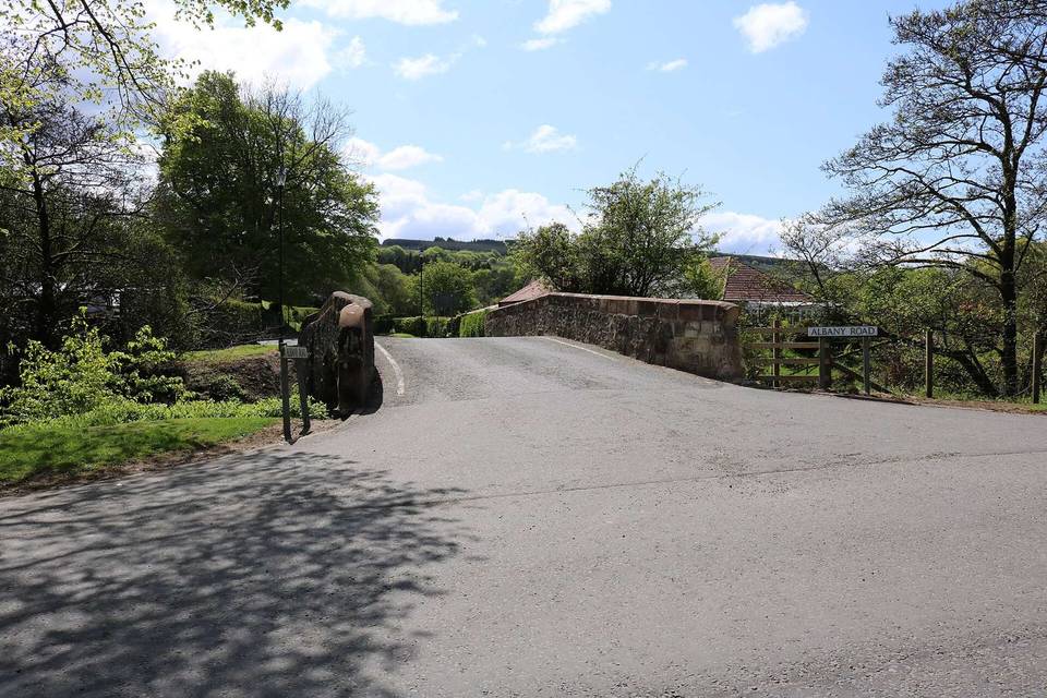
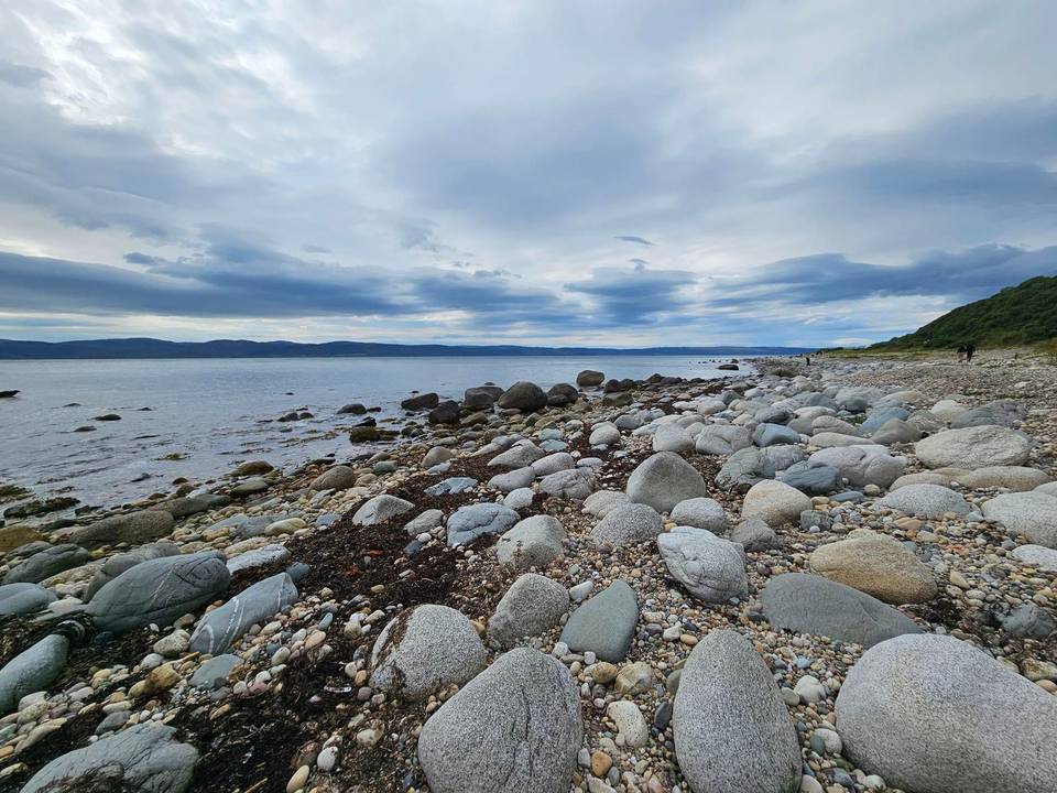
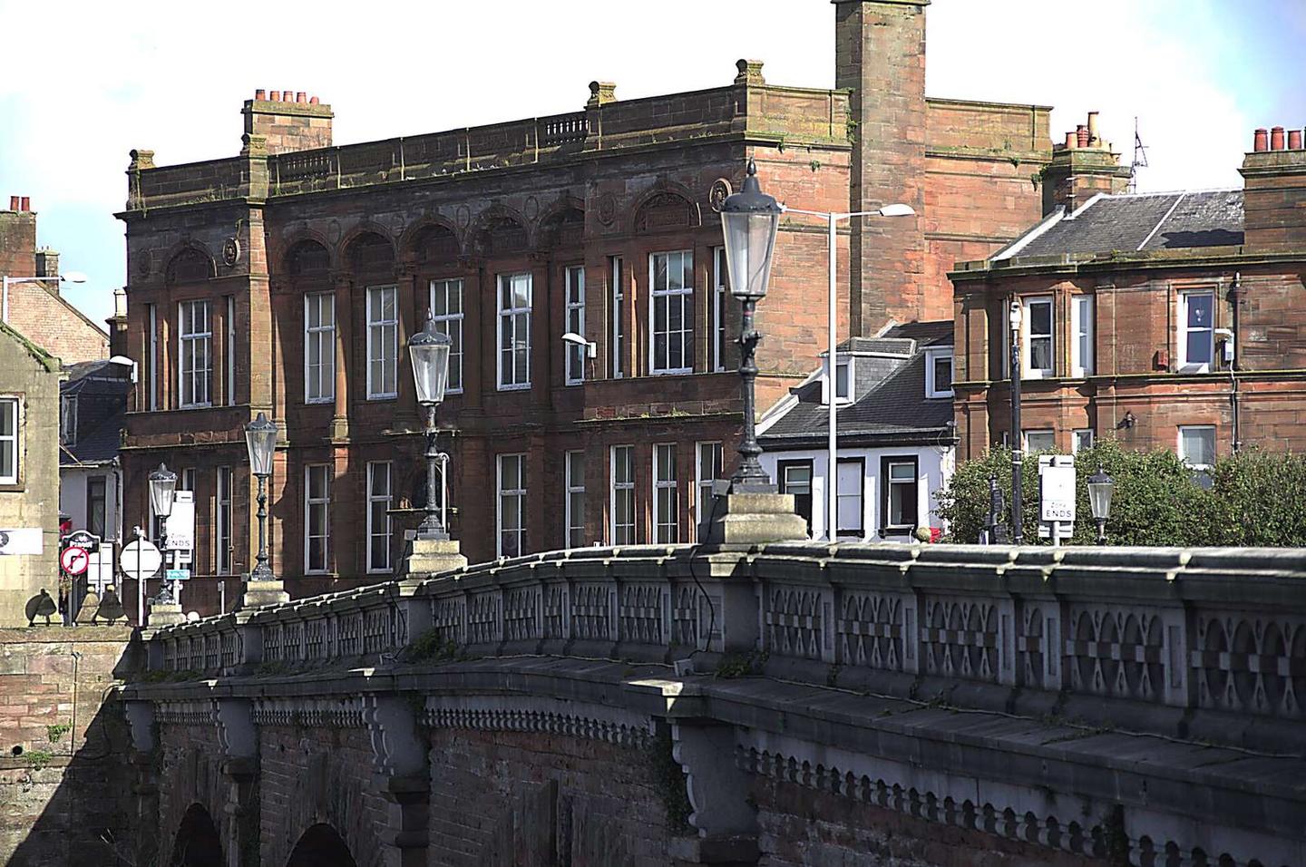
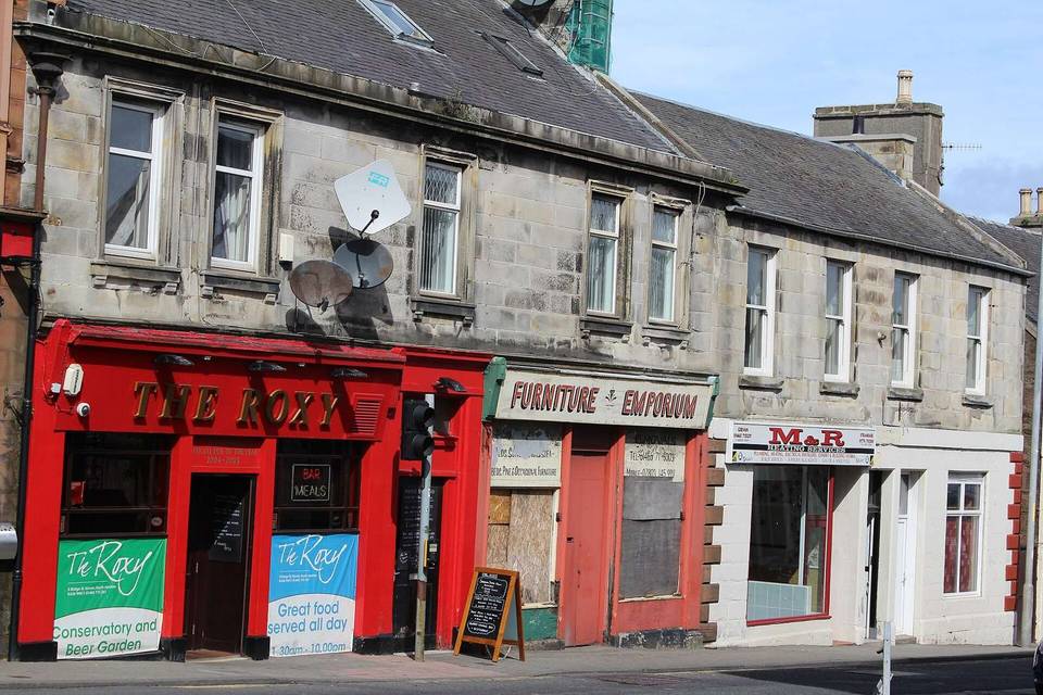
2 photographs from the road

Photo: Iroberts696 · CC BY-SA 4.0 · Wikimedia Commons · Photo: Pete Goodwin · CC BY-SA 4.0 · Wikimedia Commons · Photo: Ann Cook · CC BY-SA 2.0 · Wikimedia Commons

Stage of