Cyclists.com

Brodick to Corrie via the String Road

Isle of Arran, Scotland, United KingdomRoad

60 km
Distance
596 m
Elevation gain
Moderate
Difficulty
Paved
Surface
On the road: Brodick to Corrie via the String Road

Elevation profile

596 m over 60 km

Route overview

Suits riders comfortable with 59.5 km and 596 m of climbing concentrated in two distinct sections.

A 59.5 km point-to-point crossing of Arran from Brodick over the String Road to the west coast, then north to Lochranza and back over to Corrie.

The ride starts in Brodick, at the low point of the route, and turns inland almost at once. The String Road climb begins at 1.7 km and runs 3.6 km at 6.4%, with a maximum of 11.4%, topping out at 243 m — the highest point of the day at 5.3 km. Just beyond, the road passes beneath Cnoc Dubh (425 m) and An Tunna (361 m) before dropping the length of Glen to Ballymichael at 13.2 km, then Pien, Shedog and Shiskine. From Blackwaterfoot at 18 km the route turns north and follows the west coast through Torbeg, Machrie, Dougarie, Imachar and Whitefarland, reaching Pirnmill at 35.9 km. It stays close to sea level as far as Catacol, passing beneath Choc Leacainn Duibhe (230 m), then Lochranza at 45.9 km. The last third holds the second half of the climbing. From 46.8 km a 1.8 km rise at 3.8% leads to 102 m, and from 48.7 km a further 2.5 km at 5% reaches 228 m, passing beneath Torr Nead an Eoin (325 m) and Clachan (311 m). The descent runs down past Cnocan Donna and An Cnap to Sannox at 57.1 km and finishes in Corrie.

Highlights

  • The String Road: 3.6 km at 6.4%, topping out at 243 m
  • West coast run from Blackwaterfoot to Pirnmill and Catacol
  • Second climb over to Sannox, 2.5 km at 5% to 228 m
  • Peaks Cnoc Dubh (425 m) and An Tunna (361 m) above the road

Along the route

Measured from the recorded track and OpenStreetMap.

Places passed

  1. Cladach 2.1 km
  2. Ballymichael 13.2 km
  3. Pien 14.6 km
  4. Shedog 15 km
  5. Shiskine 15.3 km
  6. Feorline 17.5 km
  7. Kilpatrick 17.7 km
  8. Blackwaterfoot 18 km
  9. Torbeg 19.4 km
  10. Balnagore 23 km
  11. Machrie 23.9 km
  12. Cnocan Cuallaich 25.2 km
  13. Auchagallon 25.2 km
  14. Dunedin 25.3 km
  15. Druid 26.6 km
  16. Auchencar 27 km
  17. Stepping 27.6 km
  18. Dougarie 27.9 km
  19. Balliekine 30.9 km
  20. Imachar 31.9 km
  21. Whitefarland 33.7 km
  22. Learig 34.7 km
  23. Seafield 34.8 km
  24. Ashgrove 35 km
  25. Bayview 35.1 km
  26. Pirnmill 35.9 km
  27. Birchwood 36 km
  28. Auchamore or South Thundergay 37.5 km
  29. Mid Thundergay 38.5 km
  30. Lennimore or North Thundergay 39.1 km
  31. Fairhaven 42.4 km
  32. Catacol 43.2 km
  33. Lochranza 45.9 km
  34. Butt 46.8 km
  35. Millhill 47.1 km
  36. Sunnymead 47.2 km
  37. Narachan 47.7 km
  38. Sannox 57.1 km

On the road

  • Café 0 km
  • Top Up Tap (Water) 0.2 km
  • Little Rock Cafe (Café) 0.5 km
  • Hunters Coffee Shop (Café) 0.6 km
  • The Brodick Brasserie (Restaurant) 0.9 km
  • Good Food Shop (Café) 1.2 km
  • Café Rosaburn (Café) 2 km
  • Kinloch Resturant (Restaurant) 18 km
  • Machrie Tearoom (Café) 24.5 km
  • The Lighthouse (Restaurant) 35.7 km
  • Water 35.7 km
  • The Sandwich Station (Café) 45.4 km

Climbs

Starts atLengthGainAverageMaxTop
1.7 km3.6 km230 m6.4 %11.4 %243 m
46.8 km1.8 km67 m3.8 %6.6 %102 m
48.7 km2.5 km125 m5 %8.2 %228 m

High point 243 m at 5.3 km; low point 8 m. Passes beneath Cnoc Dubh, An Tunna, Choc Leacainn Duibhe.

Practical information

Surface
Paved
Route shape
Point to point
Riding time
2½–4 hours riding

Know before you go

  • The String Road hits 11.4% in its steepest section
  • No café or water listed between Machrie (24.5 km) and Pirnmill (35.7 km)

Routes are for inspiration. Roads, surfaces and conditions change — check locally and ride within your limits.

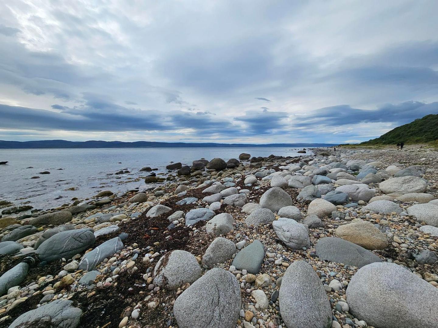
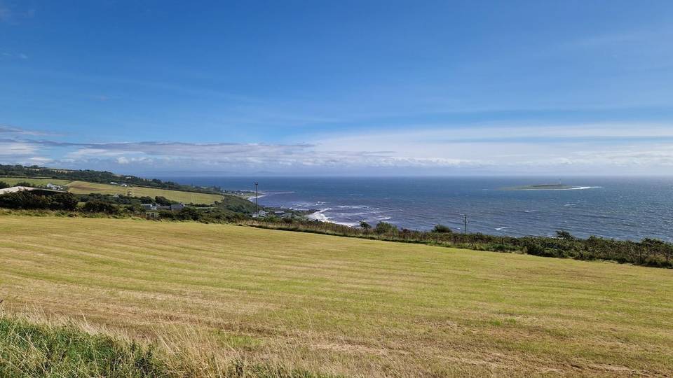
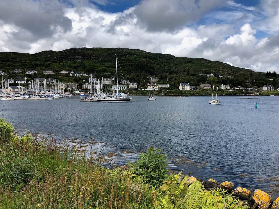
11 photographs from the road

More rides from Isle of Arran