Road · United Kingdom
A hilly 90 km road cycling loop from Isle of Arran, North Ayrshire through Cladach, Cordon and Corriecravie, with 827 m of climbing over Clachan.
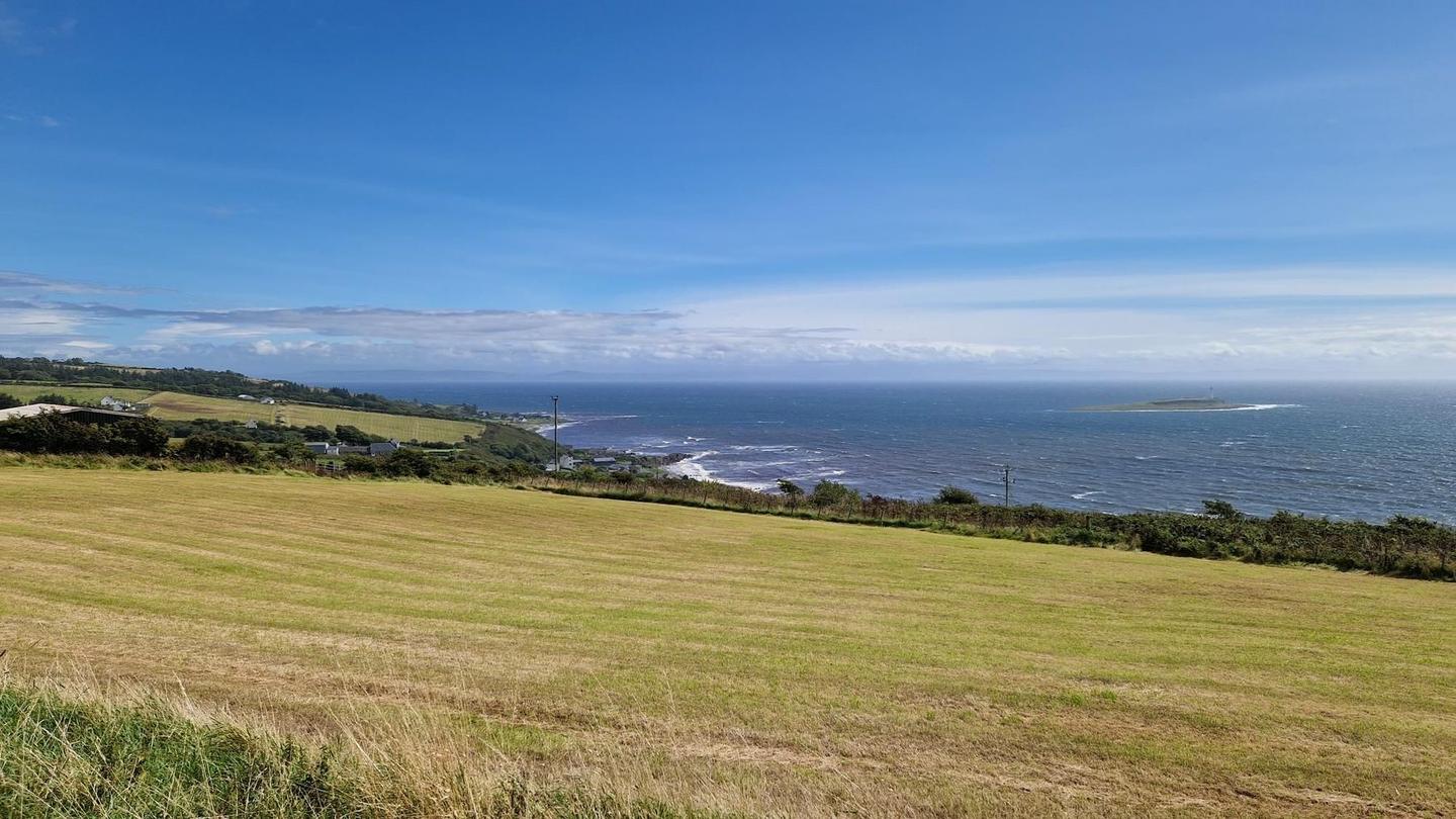
This 90.1 km loop on the Isle of Arran starts and finishes near Cladach. It passes through numerous settlements including Brodick, Lamlash, Whiting Bay, Kilmory, Blackwaterfoot and Lochranza, cycling mostly on minor roads (54%) and main roads (38%). There is a 34.7 km section on the A841 road, with 38.3 km on roads with speed limits 80 km/h or more, all without cycle lanes. Cycle lanes and paths cover 1.8 km total.
The route features six climbs, the longest is 4.6 km with an average gradient of 4.2% and a maximum of 7.4%, reaching 200 m at about 80 km. The steepest 500 m section has a 7.2% gradient. Elevation varies from 2 m to 200 m. The ascent is mostly in the first half, which accounts for 58% of climbing. Surface is 98% paved with 2% gravel or unpaved.
Food and drink options are available mainly near the start, Brodick, and at various points such as Machrie (53.3 km) and Pirnmill (64.7 km). The longest stretch without café, shop or water is 11.4 km between 53.3 km and 64.7 km. Toilets are present at 13 locations including Brodick and Blackwaterfoot. Bike hire and repair stands can be found at three points. Mountain peaks near the road include Cnocan Donn at 42.3 km and Tòrr na Làir Brice at 82.5 km.
| Climb | Starts at | On this ride | Full ascent | Top on this ride |
|---|---|---|---|---|
| Unnamed climb | 9.1 km | 3.2 km · 112 m · 3.5 % · max 6.3 % | — | 116 m |
| Unnamed climb | 15.8 km | 2.5 km · 72 m · 2.9 % · max 4.1 % | — | 78 m |
| Unnamed climb | 23.1 km | 4.2 km · 129 m · 3.1 % · max 5.7 % | — | 132 m |
| Unnamed climb | 37.5 km | 1.5 km · 47 m · 3.2 % · max 5.9 % | — | 82 m |
| Unnamed climb | 59.4 km | 1.6 km · 43 m · 2.7 % · max 5.2 % | — | 48 m |
| Clachan | 75.4 km | 4.6 km · 195 m · 4.2 % · max 7.4 % | 4.6 km · 195 m · 4.3 % | 200 m |
Expect stretches on main roads without a cycle lane (33.5 km in all) between quieter sections.
No stretch is longer than 15 km without a café, shop or water. Along the route: 38 cafés and restaurants, 7 shops, 4 water points, 2 petrol stations, 13 public toilets and 3 bike shops.