Cyclists.com

National Byway Girvan Loop

Barr, South Ayrshire, United KingdomRoad

Signed route The waymarked National Byway Girvan Loop (regional route NB), traced from OpenStreetMap and measured against the terrain model; no member has recorded it yet. Ridden it? Add your recording and photos.

11 km
Distance
138 m
Elevation gain
Easy
Difficulty
Paved
Surface
Download GPXMap

Elevation profile

Total ascent
138 m
Distance
11 km
050100150200250m0 km2.557.511 km211 m · highest, at 3.7 kmStartFinish

Route overview

This route suits riders looking for a short ride with moderate climbing mainly on fast main roads.

A 10.5 km loop from Barr in South Ayrshire with 138 m of climbing, mainly on main roads including the B734.

The route starts in Barr and begins with a 2.9 km climb gaining 97 m at an average gradient of 3.3%, reaching a high point of 210 m around 3.7 km near Auchensoul Hill. From there, it descends for 4.8 km down to 22 m at 8.8 km near Old Dailly. Most of the route is on paved surfaces, with 78% (8.2 km) on main roads including the B734, and 23% (2.4 km) on minor roads. All main roads ridden lack cycle lanes. The entire 10.5 km is on roads with speed limits of 80 km/h or more. The route passes through The Lanes (2.6 km), Knockgerran (4.9 km), Penkill (7.2 km), and Old Dailly (8.5 km). There is no café, shop or water available along the entire route. Penkill Castle is located 121 m off route at 7.1 km, worth a short detour.

Highlights

  • Climb of 2.9 km gaining 97 m from Barr
  • Passes near Auchensoul Hill at 1.5 km
  • Longest descent of 4.8 km from 3.8 km
  • Penkill Castle 121 m off route at 7.1 km

Along the route

Measured from the recorded track and OpenStreetMap.

Places passed

  1. The Lanes 2.6 km
  2. Knockgerran 4.9 km
  3. Penkill 7.2 km

Climbs

ClimbStarts atLengthGainAverageMaxTop
0 km2.9 km97 m3.3 %4.8 %203 m

High point 210 m at 3.7 km; low point 22 m. Passes beneath Auchensoul Hill.

What this ride is like

Measured from OpenStreetMap along the track and the elevation profile.

Roads
78% main road · 23% minor road
Main roads
8.2 km on main roads without a cycle lane — likely busier
Fast roads
10 km on roads with a limit of 80 km/h or more
Main roads used
B734 (8 km)
Surface
Paved throughout
Gradient
34% climbing · 48% descending · 18% flat
Longest descent
4.8 km from 3.8 km, dropping 185 m

Along the way

Within a few hundred metres of the track, from OpenStreetMap. Opening hours change — treat this as where to look, not a promise.

Worth a stop

  • 7.1 kmPenkill Castle (castle)

Stay after this ride

  • Seasons Holidays at Brunston Castle · hotel · 3.4 km from the finish
  • Strathalus Guest House · guest house · 3.5 km from the finish

Practical information

Surface
Paved
Route shape
Point to point
Riding time
45 min
Best months
Jun to Aug — daily highs of 17 °C in those months

Know before you go

  • 10.5 km without café, shop or water
  • 8.2 km on main roads without a cycle lane
  • 10 km on roads with speed limits of 80 km/h or more
  • Short sections up to 9.5% gradient

Routes are for inspiration. Roads, surfaces and conditions change — check locally and ride within your limits.

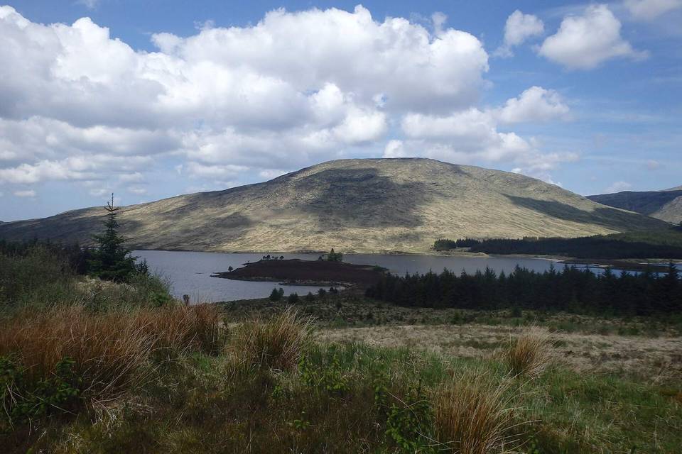
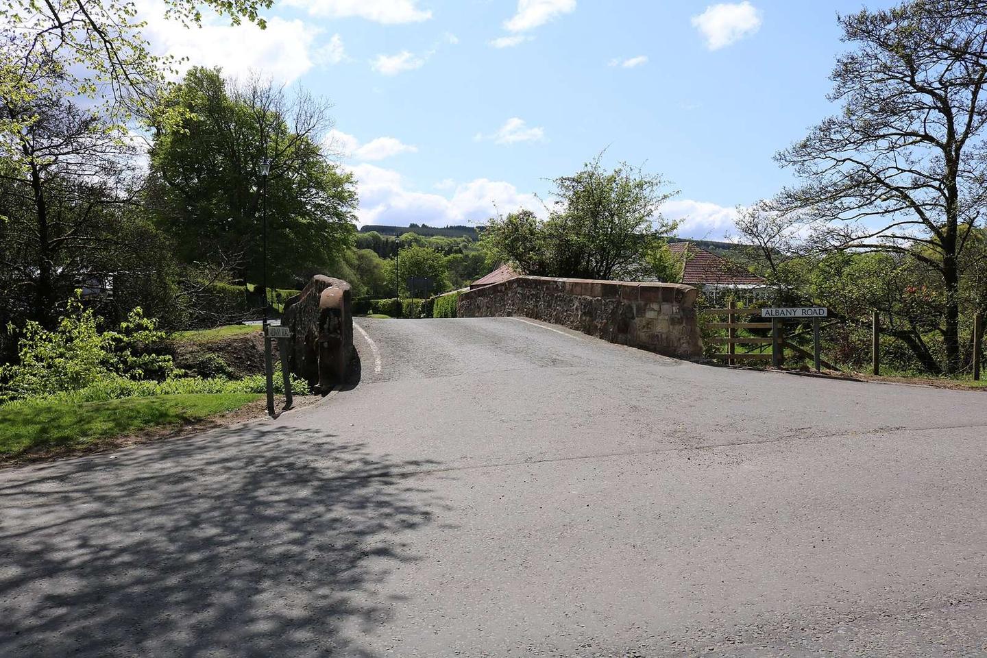
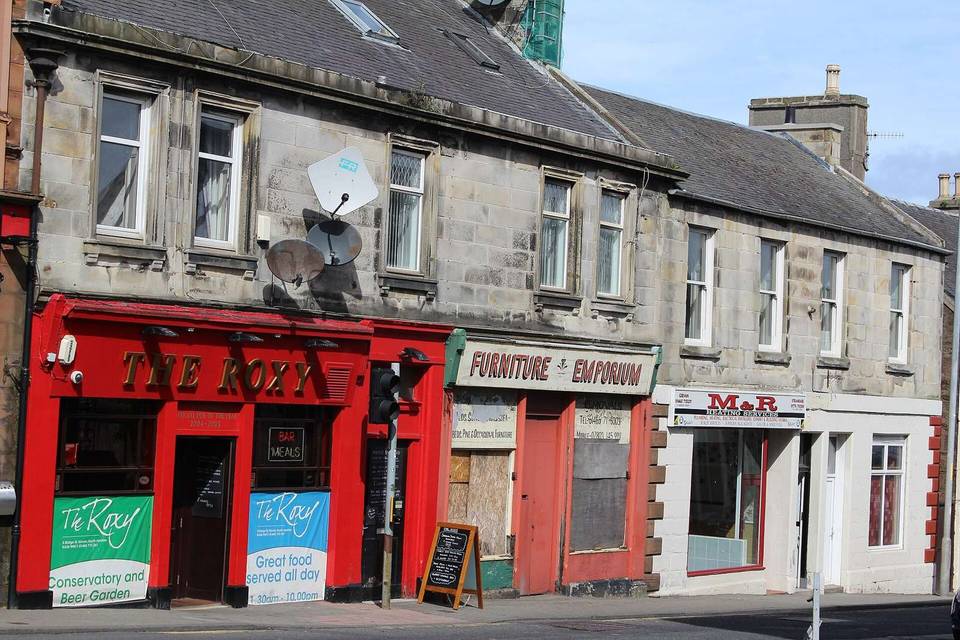
2 photographs from the road

Photo: Billy McCrorie · CC BY-SA 2.0 · Wikimedia Commons