Road · United Kingdom
A hilly 39 km gravel loop from Newton Mearns, East Renfrewshire, with 320 m of climbing. Mostly unpaved: 75% is mapped as gravel or unpaved, 23% as paved and 2% has no surface data.
Starting and finishing at Newton Mearns, the 39.1 km loop heads into the surrounding region with a total elevation gain of 1004 m. The climb begins at 8.3 km with a 1.1 km ascent gaining 40 m at 3.5%, reaching 323 m height. A second climb occurs at 19.1 km for 2.4 km gaining 48 m at an average gradient of 2%. The route's highest point is 348 m at 26.5 km and the lowest is 213 m at 18.3 km, with climbing concentrated in the first half.
The surface is largely unpaved, with 75% gravel or track and only 23% paved road. The majority of the ride is on tracks (75%) with some minor roads (18%), quiet streets (5%), and a short path (2%). The Ardochrig Road is the longest named road covered for 3 km. There is a long descent of 1.8 km from 13.7 km, dropping 64 m. The route passes near several peaks including Quarry Hill at 10 km, Lamb Hill at 14.9 km, and Rough Hill at 28.3 km.
Refuelling is possible only near the shop at 18.9 km with Whitelee Wind Farm Café accessible at 38.8 km near the start/finish. There is a 19.9 km stretch without café, shop or water from 18.9 to 38.8 km. Points of interest include John Howie's Monument at 3 km, and the Whitelee Wind Farm Visitor Centre near the finish.
| Climb | Starts at | On this ride | Top on this ride |
|---|---|---|---|
| Unnamed climb | 8.3 km | 1.1 km · 40 m · 3.5 % · max 5.4 % | 323 m |
| Unnamed climb | 19.1 km | 2.4 km · 48 m · 2 % · max 3.4 % | 264 m |
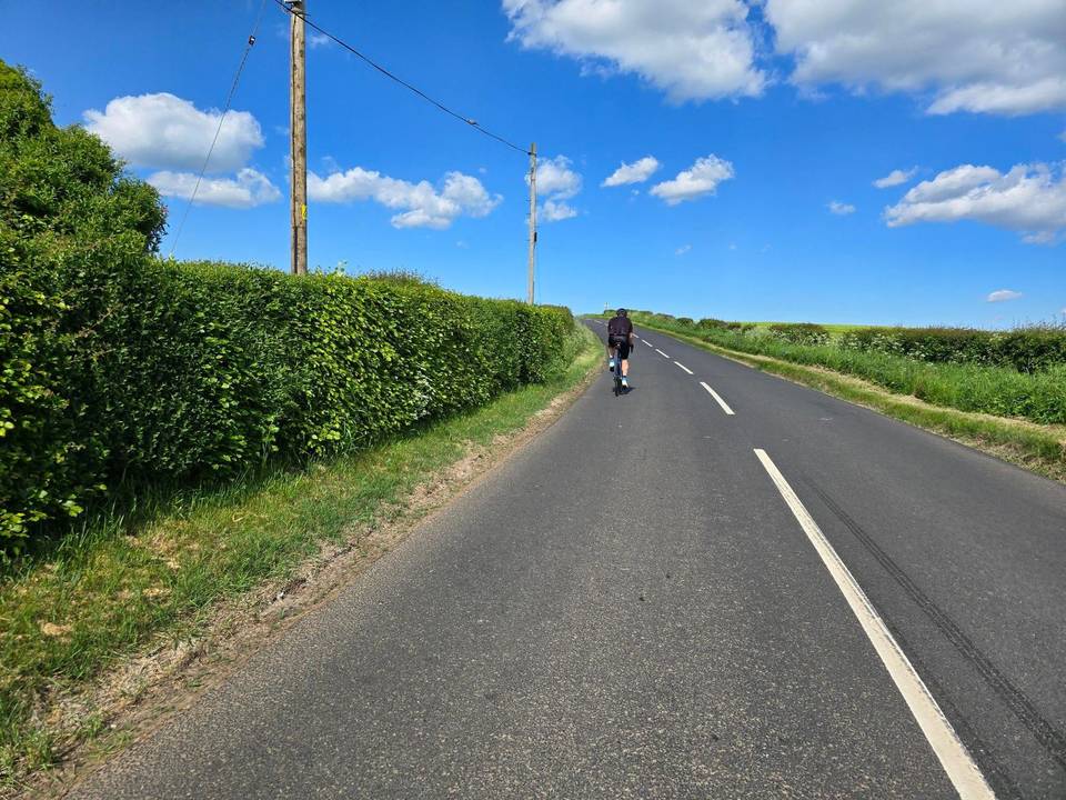
Mostly minor roads and streets on the map.
The longest stretch without a café, shop or water is 20 km, from km 19 to 39. Along the route: 1 café or restaurant and 1 shop.