
Cyclists.com

Glenkiln Loop Cycle Route

Shawhead, Dumfries and Galloway, United KingdomRoad

Signed route The waymarked Glenkiln Loop Cycle Route (CTC GL), traced from OpenStreetMap and measured against the terrain model; no member has recorded it yet. Ridden it? Add your recording and photos.

38 km
Distance
245 m
Elevation gain
Easy
Difficulty
Paved
Surface
Download GPXMap

Elevation profile

Total ascent
245 m
Distance
38 km
050100150200250m0 km10203038 km215 m · highest, at 29.3 kmStartFinish · back at the start

Route overview

Riders suited to a medium distance loop with moderate climbing and mostly paved surfaces.

37.6 km loop cycle route in Dumfries and Galloway, United Kingdom, starting and finishing in Shawhead with 245 m elevation gain.

The Glenkiln Loop Cycle Route starts at Shawhead (22.6 km) and passes through several places including Barnhill (9.9 km), Summerhill (10.1 km), and Dumfries (9.1 km). The route is a loop covering 37.6 km with 245 m of climbing, mostly on minor roads (87%) with 10% on cycle paths and 2% on quiet streets. The longest named roads are the C112n for 11.5 km and the C14n for 4 km. The surface is 99% paved with a minor 1% gravel section. Climbing begins just after km 12.8 with a 3 km climb gaining 67 m at an average gradient of 2.2%, reaching 84 m elevation. The subsequent climbs are at km 23.1 (2.7 km, 70 m gain) and km 27.3 (1.8 km, 53 m gain), peaking at 215 m at km 29.1 beneath West Hill. The profile shows 64% flat, 19% climbing and 17% descending terrain, with a steepest 500 m section at 4.6% gradient near km 28.1. The longest descending stretch lasts 4.4 km from km 29.3 descending 143 m. Facilities include cafés near Dumfries at 9.1 km and Cargenbridge Tea rooms at 16.3 km, shops and a petrol station close to 9.1 km, plus a bike repair stand at 12.3 km. There are no water points or toilets along the route. The longest stretch without any café, shop, or water is about 21 km from km 16.3 to 37.4. Dumfries station at 9.1 km serves as a bailout point if needed.

Highlights

  • Beneath West Hill near 13.8 km
  • Three moderate climbs between km 12.8 and 29.1
  • Longest descent 4.4 km from km 29.3
  • C112n road for 11.5 km

Along the route

Measured from the recorded track and OpenStreetMap.

Places passed

  1. Nunwood 6.3 km
  2. Lochside 7.9 km
  3. Lincluden 8.6 km
  4. Sandside 9.1 km
  5. Dumfries 9.1 km
  6. Summerville 9.3 km
  7. Barnhill 9.9 km
  8. Summerhill 10.1 km
  9. Laurieknowe 10.1 km
  10. Shawhead 22.6 km

Climbs

ClimbStarts atLengthGainAverageMaxTop
12.8 km3 km67 m2.2 %3.6 %84 m
23.1 km2.7 km70 m2.6 %4.5 %162 m
27.3 km1.8 km53 m3 %4.8 %215 m

High point 215 m at 29.1 km; low point 11 m. Passes beneath West Hill.

What this ride is like

Measured from OpenStreetMap along the track and the elevation profile.

Roads
87% minor road · 10% cycle path · 2% quiet street
Cycle paths
3.7 km on cycle paths or roads with a cycle lane
Main roads used
C112n (12 km), C14n (4 km)
Surface
Paved throughout
Gradient
19% climbing · 17% descending · 64% flat
Longest descent
4.4 km from 29.3 km, dropping 143 m

Along the way

Within a few hundred metres of the track, from OpenStreetMap. Opening hours change — treat this as where to look, not a promise.

Longest stretch without a café, shop or water: 21 km, from 16 km to 37 km.

Food, water and shops

  1. 8.5 kmrightmedicine Pharmacy · pharmacy · on the route
  2. 9.1 kmCosta Drive Thru · café · 150 m off route
  3. 9.1 kmTesco · petrol station · 220 m off route
  4. 9.3 kmThe Food Warehouse · supermarket · 50 m off route
  5. 12.3 kmRepair stand · 290 m off route
  6. 16.3 kmCargenbridge Tea rooms · café · 80 m off route

Need to bail out?

  • 9.1 kmDumfries (station), 1.4 km off route

Whether bikes are carried depends on the service — check before relying on it.

Worth a stop

  • 2.1 kmHall Hill Mote, Hillfort (archaeological site)

Practical information

Surface
Paved
Route shape
Loop
Riding time
2 h 41 min
Best months
Jun to Aug — daily highs of 17–18 °C in those months

Know before you go

  • Longest stretch without café, shop or water 21.1 km from km 16.3
  • 13 km on main roads without cycle lane
  • Steepest 500 m gradient 4.6% at km 28.1

Routes are for inspiration. Roads, surfaces and conditions change — check locally and ride within your limits.

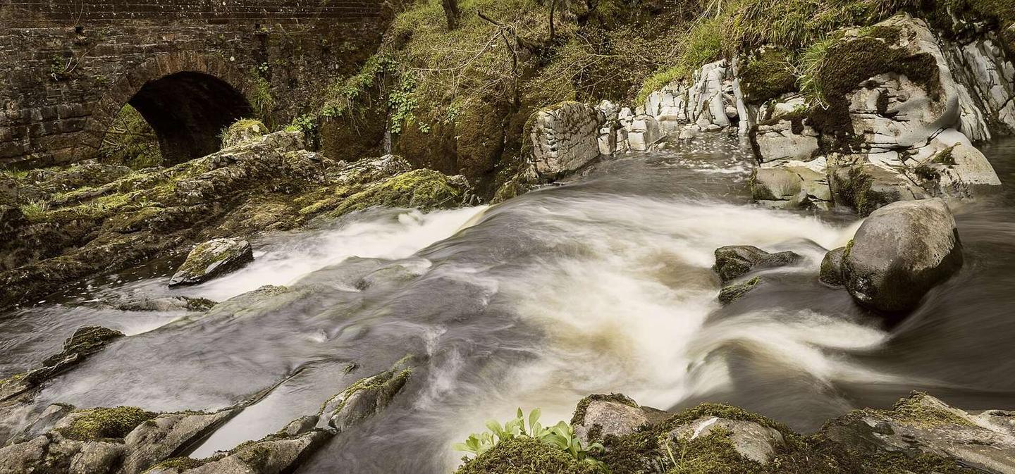
2 photographs from the road

Photo: James Johnstone from Ecclefechan, Scotland · CC BY 2.0 · Wikimedia Commons · Photo: Rude Health · CC BY-SA 2.0 · Wikimedia Commons · Photo: Peter Wood · CC BY-SA 2.0 · Wikimedia Commons

More rides from Shawhead