
Cyclists.com

Dumfries to Moniaive

Dumfries, Dumfries and Galloway, United KingdomRoad

Signed route The waymarked National Byway (SW Scotland) (regional route NB), traced from OpenStreetMap and measured against the terrain model; no member has recorded it yet. Stage 2 of 5 of the National Byway (SW Scotland). Ridden it? Add your recording and photos.

66 km
Distance
601 m
Elevation gain
Moderate
Difficulty
Paved
Surface
Download GPXMap

Elevation profile

Total ascent
601 m
Distance
66 km
050100150200250m0 km204066 km231 m · highest, at 64.6 kmStartFinish

Route overview

Suitable for riders prepared for moderate climbing over a medium distance of 66 km with some rural roads.

Stage 2 of 5 of the National Byway (SW Scotland): 66.1 km from Dumfries to Moniaive with 601 m of climbing, on the signed route.

The route starts in the Dumfries town centre near Troqueer and Maxwelltown, then heads through various suburbs such as Janefield and Laurieknowe before reaching Nunholm and Lincluden within the first 3 km. It continues mainly on minor roads, covering 57.3 km or 88% of the ride, with some sections on main roads for 3.3 km without cycle lanes, plus short stretches on quiet streets, cycle paths, tracks, and paths. Climbing is moderate, with five main climbs spaced along the route. Early climbing begins just before Dunscore around 14 km, with an ascent of 62 m over 2.3 km at an average gradient of 2.7%. More substantial climbs come later: up to 112 m gain over 2.6 km starting near Thornhill, and the highest point at 231 m is reached around 63 km after ascending 114 m at 5.6%, with the steepest section maxing at 10%. The longest flat stretches account for 63% of the route, while climbing and descending make up 21% and 16% respectively. The path includes a gravel/unpaved share of 2%. There is a long 34 km stretch without café, shop, or water between about km 31 and 65. Cafés and shops are available at the start in Dumfries and at the finish in Moniaive, which also offers accommodation and pubs. Bicycle shops and repair stands are found near the start and around km 31 and 37.

Highlights

  • Climb near Thornhill, 112 m gain over 2.6 km
  • Final climb to Moniaive, 114 m gain at 5.6% avg
  • Passes near Kirkbride Hill (192 m) and Court Hill (189 m)
  • Longest café/shop gap is 33.9 km between km 31 and 65

Along the route

Measured from the recorded track and OpenStreetMap.

Places passed

  1. Lincluden 2.4 km
  2. Barnhill 2.6 km
  3. Lochside 3 km
  4. Nunwood 4.7 km
  5. Dunscore 17.3 km
  6. Brockhillstone 18.5 km
  7. Glenmidge 21.7 km
  8. Keir Mill 29.1 km
  9. Penpont 30.9 km
  10. Thornhill 33.3 km
  11. Tynron 61.4 km

Climbs

ClimbStarts atLengthGainAverageMaxTop
14.3 km2.3 km62 m2.7 %5 %122 m
37.8 km2.6 km112 m4.3 %7.6 %179 m
45.9 km1.7 km58 m3.4 %5.8 %208 m
58 km2.3 km60 m2.6 %4.1 %129 m
61.4 km2 km114 m5.6 %10 %231 m

High point 231 m at 63.4 km; low point 5 m. Passes beneath High Germany, Kirkbride Hill, Benan Hill.

What this ride is like

Measured from OpenStreetMap along the track and the elevation profile.

Roads
88% minor road · 5% main road · 3% quiet street · 2% cycle path
Main roads
3.3 km on main roads without a cycle lane — likely busier
Fast roads
11.5 km on roads with a limit of 80 km/h or more
Cycle paths
1 km on cycle paths or roads with a cycle lane
Main roads used
C125n (11 km), C112n (10 km), C127n (4 km)
Surface
Paved throughout
Gradient
21% climbing · 16% descending · 63% flat
Steep sections
2.3 km over 5% · 0.6 km over 8% · steepest 500 m averages 9.5% at 63.2 km
Longest descent
2.8 km from 49.5 km, dropping 83 m

Along the way

Within a few hundred metres of the track, from OpenStreetMap. Opening hours change — treat this as where to look, not a promise.

Longest stretch without a café, shop or water: 34 km, from 31 km to 65 km.

Food, water and shops

  1. 0 kmG&G Cycles · bike shop · 240 m off route
  2. 0.1 kmPumpernickel · café · 160 m off route
  3. 0.2 kmWhitesands Toilets · toilets · on the route
  4. 0.5 kmScotfresh · convenience store · 150 m off route
  5. 1.1 kmTesco · petrol station · 240 m off route
  6. 2.5 kmrightmedicine Pharmacy · pharmacy · on the route
  7. 17.4 kmFlying Pig · bar · on the route
  8. 31.1 kmThree Villages Cafe · café · on the route
  9. 31.1 kmConvenience store · 110 m off route
  10. 31.1 kmToilets · on the route
  11. 31.1 kmRepair stand · on the route
  12. 37.1 kmRik's Bike Shed · bike shop · 550 m off route
  13. 65 kmGlenwhisk · café · on the route
  14. 65.1 kmWatsons Grocers · supermarket · on the route

Need to bail out?

  • 0.6 kmDumfries (station), 800 m off route

Whether bikes are carried depends on the service — check before relying on it.

Worth a stop

  • 0 kmRotunda (monument)
  • 8.8 kmHall Hill Mote, Hillfort (archaeological site)
  • 21.4 kmBenan Hill (peak)
  • 33.3 kmNith Bridge Cross (monument)
  • 37 kmDrumlanrig, Roman fort and annexe (archaeological site)
  • 46.4 kmBallaggan Motte (archaeological site)

At the start

  • The Frothy Bike Co. · café · 130 m
  • Coach and Horses · pub · 50 m
  • Pumpernickel · café · 200 m
  • Cafe Piccolo · ice cream · 190 m
  • The Bank Tapas Bar · restaurant · 60 m

At the finish

  • Glenwhisk · café · 90 m
  • Watsons Grocers · supermarket · 20 m
  • George Hotel · pub · 110 m
  • Craigdarroch Hotel · restaurant · 10 m

Practical information

Surface
Paved
Route shape
Point to point
Riding time
4 h 43 min
Best months
Jun to Sep — daily highs of 16–18 °C in those months

Know before you go

  • 33.9 km without café, shop, or water between km 31.1 and 65
  • 3.3 km on main roads without cycle lanes
  • 11.5 km on roads with posted limits 80 km/h or more
  • 2% of route is gravel or unpaved

Routes are for inspiration. Roads, surfaces and conditions change — check locally and ride within your limits.

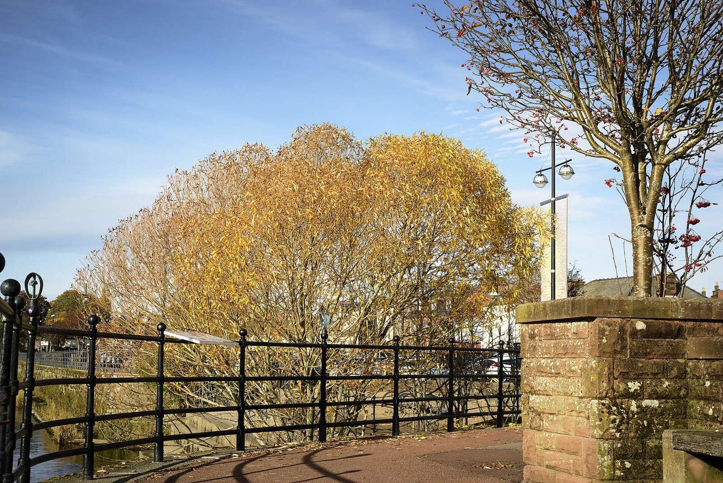
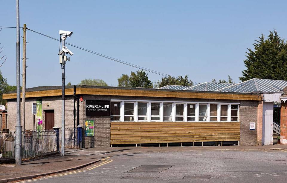
2 photographs from the road

Photo: James Johnstone from Ecclefechan, Scotland · CC BY 2.0 · Wikimedia Commons · Photo: M J Richardson · CC BY-SA 2.0 · Wikimedia Commons · Photo: Alan O'Dowd · CC BY-SA 2.0 · Wikimedia Commons

Stage of

More rides from Dumfries