Cyclists.com

Kirkpatrick Macmillan Cycle Trail

Holywood, Dumfries and Galloway, United KingdomRoad

Signed route The waymarked Kirkpatrick Macmillan Cycle Trail (Sustainable Travel Team, Dumfries and Galloway Council KM), traced from OpenStreetMap and measured against the terrain model; no member has recorded it yet. Ridden it? Add your recording and photos.

23 km
Distance
178 m
Elevation gain
Easy
Difficulty
Paved
Surface
Download GPXMap

Elevation profile

Total ascent
178 m
Distance
23 km
050100150200m0 km510152023 km165 m · highest, at 8.0 kmStartFinish

Route overview

Suitable for cyclists prepared for moderate distance with 178 m climbing.

A 22.5 km ride in Dumfries and Galloway from Nunwood to Keir Mill via Holywood.

The Kirkpatrick Macmillan Cycle Trail starts at Nunwood, quickly passing through Holywood at 0.8 km. The route climbs steadily from 3.8 km over 4.1 km, gaining 115 m to reach the high point of 165 m at 7.9 km. After this, the profile descends over 1.7 km starting from 8.1 km. The road surface is mostly paved (99%), with 1% gravel or unpaved. The route uses a mix of minor roads (54%) and main roads (44%), including 10 km along the B729 and 6.7 km on the C125n. Main roads lack cycle lanes and 9 km have posted speed limits of 80 km/h or more.

Highlights

  • Climb gaining 115 m at 2.8% average gradient
  • Passing through Holywood and Dunscore
  • Near the peak of Kirkbride Hill (192 m)
  • Archaeological site Twelve Apostles off route at 0.8 km

Along the route

Measured from the recorded track and OpenStreetMap.

Places passed

  1. Throughgate 9.8 km
  2. Dunscore 10.7 km
  3. Brockhillstone 12.1 km
  4. Glenmidge 15.1 km

Climbs

ClimbStarts atLengthGainAverageMaxTop
3.8 km4.1 km115 m2.8 %3.8 %165 m

High point 165 m at 7.9 km; low point 18 m. Passes beneath High Germany, Kirkbride Hill, Benan Hill.

What this ride is like

Measured from OpenStreetMap along the track and the elevation profile.

Roads
54% minor road · 44% main road
Main roads
10 km on main roads without a cycle lane — likely busier
Fast roads
9 km on roads with a limit of 80 km/h or more
Main roads used
B729 (10 km), C125n (7 km)
Surface
Paved throughout
Gradient
23% climbing · 19% descending · 58% flat

Along the way

Within a few hundred metres of the track, from OpenStreetMap. Opening hours change — treat this as where to look, not a promise.

Food, water and shops

  1. 10.8 kmFlying Pig · bar · on the route

Worth a stop

  • 0.8 kmTwelve Apostles (archaeological site)
  • 14.7 kmBenan Hill (peak)
  • 22.5 kmOld Keir Church (ruins)

Stay after this ride

  • Volunteers Arms Hotel · hotel · 2.0 km from the finish
  • Trigony House Hotel · hotel · 2.9 km from the finish
  • Thornhill Inn b&b · guest house · 3.1 km from the finish

Practical information

Surface
Paved
Route shape
Point to point
Riding time
1 h 36 min
Best months
Jun to Sep — daily highs of 16–18 °C in those months

Know before you go

  • 10 km on main roads without cycle lanes
  • 9 km on roads with speeds of 80 km/h or more
  • Longest no café, shop or water stretch: 11.7 km between 10.8 and 22.5 km

Routes are for inspiration. Roads, surfaces and conditions change — check locally and ride within your limits.

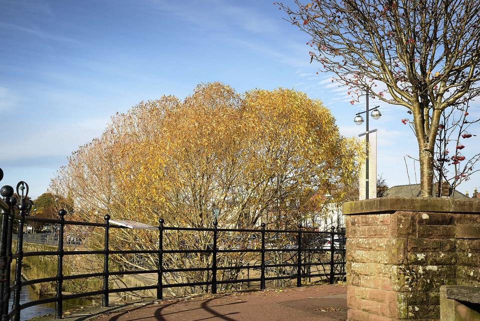
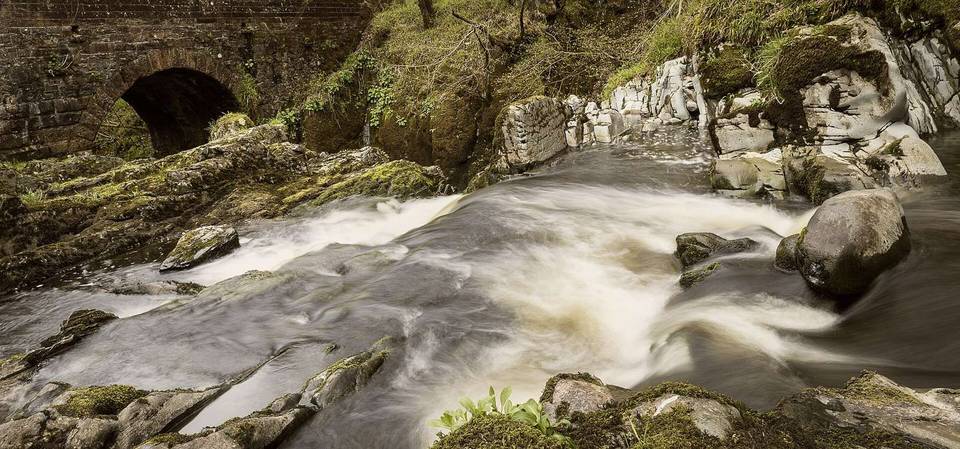
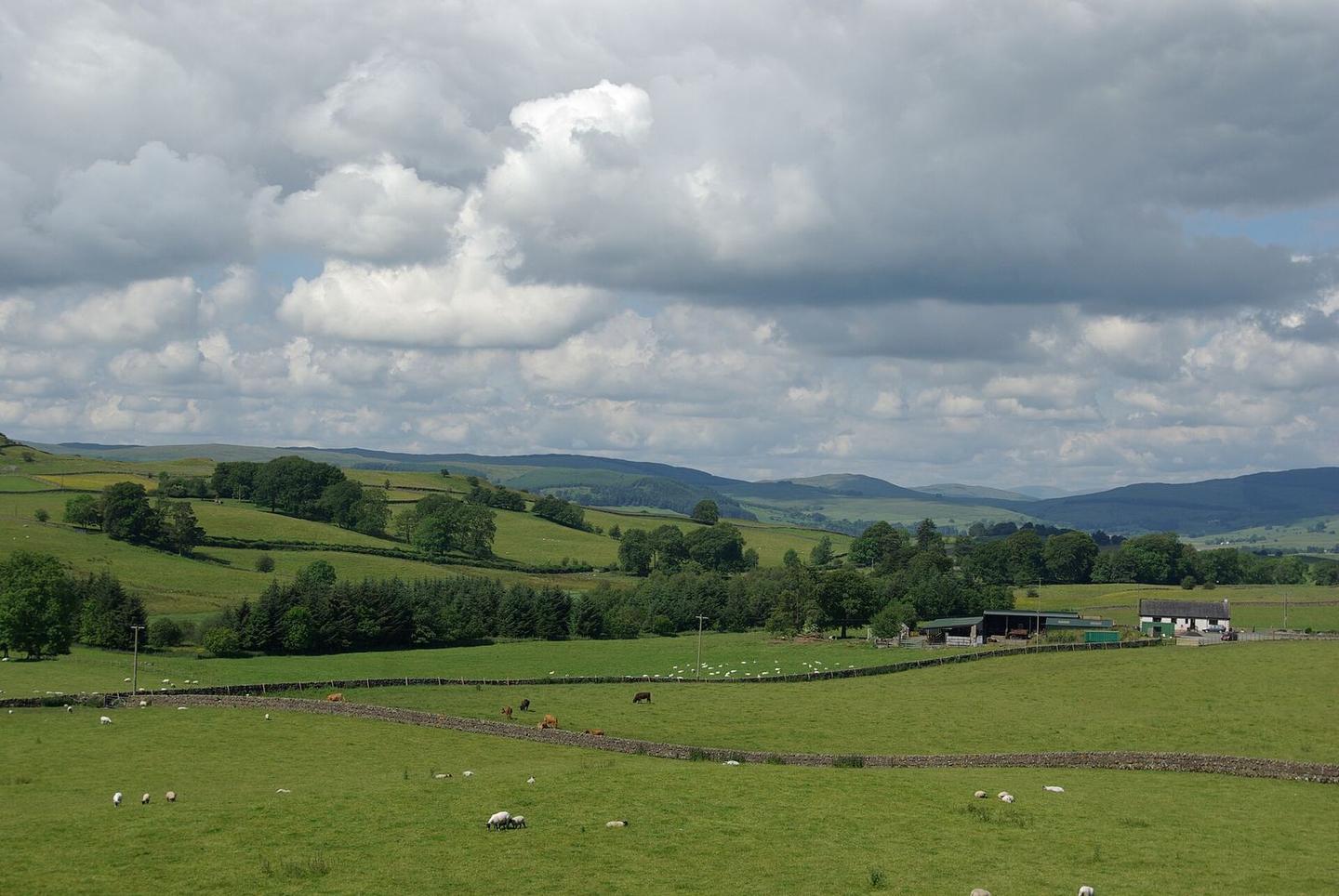
2 photographs from the road

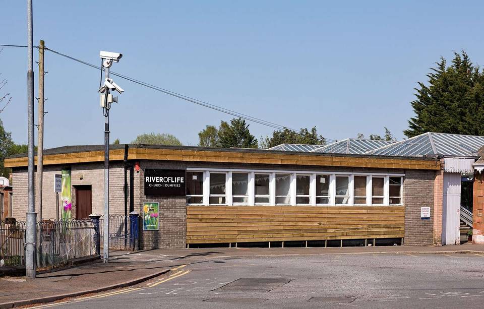
Photo: Leslie Barrie · CC BY-SA 2.0 · Wikimedia Commons · Photo: WeeHolly · CC BY-SA 4.0 · Wikimedia Commons · Photo: Colin Kinnear · CC BY-SA 2.0 · Wikimedia Commons