
Cyclists.com

4 Abbeys Cycleway

Darnick, Scottish Borders, United KingdomRoad

Signed route The waymarked 4 Abbeys Cycleway (Scottish Borders Council), traced from OpenStreetMap and measured against the terrain model; no member has recorded it yet. Ridden it? Add your recording and photos.

87 km
Distance
751 m
Elevation gain
Hard
Difficulty
Paved
Surface
Download GPXMap

Elevation profile

Total ascent
751 m
Distance
87 km
050100150200250300m0 km20406087 km249 m · highest, at 84.5 kmStartFinish · back at the start

Route overview

Cyclists able to cover 87 km with 751 m climbing on mixed roads including some fast main roads.

86.8 km loop in the Scottish Borders from Darnick with 751 m climbing over mixed roads.

The 4 Abbeys Cycleway starts and finishes at Darnick, passing Gattonside and Melrose within the first 2 km. Early climbs include a 3 km ascent from 1.5 km gaining 69 m at an average gradient of 2.3%, and another 1.2 km climb from 7.8 km gaining 46 m at 3.9%. The route traverses a mix of main roads (47%), minor roads (44%), tracks, quiet streets, paths, and cycle paths, with paved surfaces making up 96% of the route and 4% gravel or unpaved. Major named roads include the B6400 for 13 km and B6359 for 5.8 km. Climbing continues later with a 2.5 km ascent from 51 km gaining 104 m at 4.1%, and a final 2.4 km climb near the end from 80.7 km gaining 91 m at 3.8%. The highest point at 248 m occurs at 83.1 km. The longest descent is 3.2 km dropping 81 m from 4.7 km. There are 40.7 km on main roads without cycle lanes and 44.1 km on roads with posted speed limits of 80 km/h or more. Food and drink spots such as cafés and pubs occur at Melrose (km 1.7), Dryburgh (km 6.3), Kelso (km 25.9), and Jedburgh (km 57.1), with shops and water available mostly near these towns. A notable long stretch of 24.5 km has no café, shop, or water between 31.7 km and 56.2 km. Nearby peaks along the route include Bass Hill at 7.8 km, Gala Law around 22.4 km, Castle Knowe near 46.1 km, and Bank Hill at 47.5 km. The ride includes historical stops and a variety of landscapes across the Scottish Borders.

Highlights

  • Climbs near 1.5 km, 7.8 km, 51 km and 80.7 km
  • Bass Hill near 7.8 km
  • Gala Law near 22.4 km
  • Longest climb: 2.5 km at 4.1% from 51 km

Along the route

Measured from the recorded track and OpenStreetMap.

Places passed

  1. Newstead 3.1 km
  2. Eildon 5 km
  3. Newtown St Boswells 6.1 km
  4. Hawkslee 6.9 km
  5. Holmes Farm 6.9 km
  6. Dryburgh Mains 7.9 km
  7. Dryburgh 8.1 km
  8. Clinthill 9.6 km
  9. Mertoun Mill 10.2 km
  10. Clintmains 10.6 km
  11. Whitehouse 13.3 km
  12. Millfield 15.2 km
  13. Greatridgehall 16.3 km
  14. Makerstoun 17.8 km
  15. Manorhill 18.2 km
  16. Makerstoun Lodge 18.3 km
  17. Stodrig 21 km
  18. Galalaw 21.9 km
  19. Muserig 22.6 km
  20. Broadloan 24.2 km
  21. Kelso 25.9 km
  22. Roxburgh Barns 29.5 km
  23. Kersmains 30.4 km
  24. Roxburgh Mill 31.6 km
  25. Roxburgh 32 km
  26. Old Ormiston 35.8 km
  27. Kirkbank 37.1 km
  28. Eckford Mill 38.1 km
  29. Marlefield 40.4 km
  30. Otterburn 43.1 km
  31. Cessford 45.5 km
  32. Samieston 48.1 km
  33. Crailinghall 50.9 km
  34. Jedburgh 56.2 km
  35. Woodend 57.8 km
  36. Bonjedward House 58.3 km
  37. Mounthooly 60.2 km
  38. Palace Farm Cottages 61.4 km
  39. Crailing 61.9 km
  40. Nisbet 63.2 km
  41. Nisbetmill 64.5 km
  42. Woodside 66 km
  43. Harestanes 66.8 km
  44. Ancrum 68.1 km
  45. Furlongs 68.6 km
  46. Ashieburn 70.7 km
  47. Pinnacle 72.4 km
  48. Belses 73.9 km
  49. New Belses 73.9 km
  50. Old Belses 74.4 km
  51. Bewlie 75.7 km
  52. Cavers Carre 77.1 km
  53. Clarilawburn 77.6 km
  54. Clarilaw 78.3 km
  55. Bowden 81.3 km
  56. Faughhill 81.7 km
  57. Longleefoot 82.5 km

Climbs

ClimbStarts atLengthGainAverageMaxTop
1.5 km3 km69 m2.3 %4 %158 m
7.8 km1.2 km46 m3.9 %5.9 %118 m
51 km2.5 km104 m4.1 %6.6 %204 m
80.7 km2.4 km91 m3.8 %5.5 %248 m

High point 248 m at 83.1 km; low point 31 m. Passes beneath Bass Hill, Gala Law, Castle Knowe.

What this ride is like

Measured from OpenStreetMap along the track and the elevation profile.

Roads
47% main road · 44% minor road · 3% track · 2% quiet street
Main roads
40.7 km on main roads without a cycle lane — likely busier
Fast roads
44.1 km on roads with a limit of 80 km/h or more
Cycle paths
1.6 km on cycle paths or roads with a cycle lane
Main roads used
B6400 (13 km), B6359 (6 km), B6401 (5 km), B6404 (4 km)
Surface
Paved throughout
Gradient
22% climbing · 22% descending · 56% flat
Steep sections
1.9 km over 5% · steepest 500 m averages 6.5% at 53.1 km
Longest descent
3.2 km from 4.7 km, dropping 81 m

Along the way

Within a few hundred metres of the track, from OpenStreetMap. Opening hours change — treat this as where to look, not a promise.

Longest stretch without a café, shop or water: 25 km, from 32 km to 56 km.

Food, water and shops

  1. 1.5 kmCo-op Food · supermarket · 50 m off route
  2. 1.5 kmWater point · 140 m off route
  3. 1.7 kmJack's · café · on the route
  4. 1.8 kmToilets · 50 m off route
  5. 2 kmBoots · pharmacy · 60 m off route
  6. 5.6 kmPetrol station · 100 m off route
  7. 6.3 kmDryburgh Arms · pub · on the route
  8. 25.1 kmToilets · 80 m off route
  9. 25.9 kmCafe U · café · 60 m off route
  10. 25.9 kmCo-op Food · supermarket · 110 m off route
  11. 25.9 kmSimon Porteous Cycles · bike shop · 280 m off route
  12. 31.7 kmDrinking water · on the route
  13. 55.8 kmRepair stand · 480 m off route
  14. 56.2 kmCo-op Food · supermarket · 260 m off route
  15. 56.2 kmJedburgh Pharmacy · pharmacy · 310 m off route
  16. 57.1 kmEsso · petrol station · 190 m off route
  17. 57.5 kmDrinking water · 180 m off route
  18. 57.5 kmToilets · 190 m off route

Need to bail out?

  • 0.4 kmTweedbank (station), 1.4 km off route

Whether bikes are carried depends on the service — check before relying on it.

Worth a stop

  • 3.8 kmRhymer's Stone (monument)
  • 7.8 kmTemple of the Muses (monument)
  • 16.1 kmSite of Free Church (archaeological site)
  • 26.3 kmJunction Pool Viewpoint (viewpoint)
  • 32.2 kmRoxburgh Train Station (archaeological site)
  • 45.3 kmOld Smithy (ruins)

Practical information

Surface
Paved
Route shape
Loop
Riding time
6 h 12 min
Best months
Jun to Sep — daily highs of 16–18 °C in those months

Know before you go

  • 24.5 km without café, shop or water from 31.7 km to 56.2 km
  • 40.7 km on main roads without cycle lanes
  • 44.1 km on fast roads (80 km/h+)
  • 1.9 km gravel or unpaved

Routes are for inspiration. Roads, surfaces and conditions change — check locally and ride within your limits.

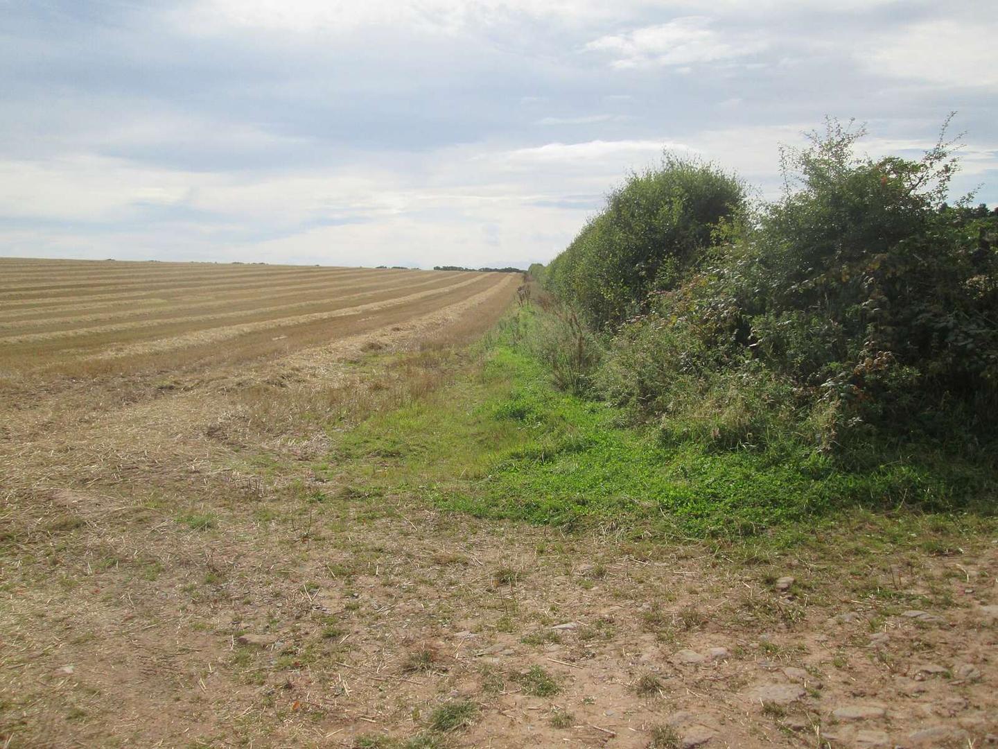
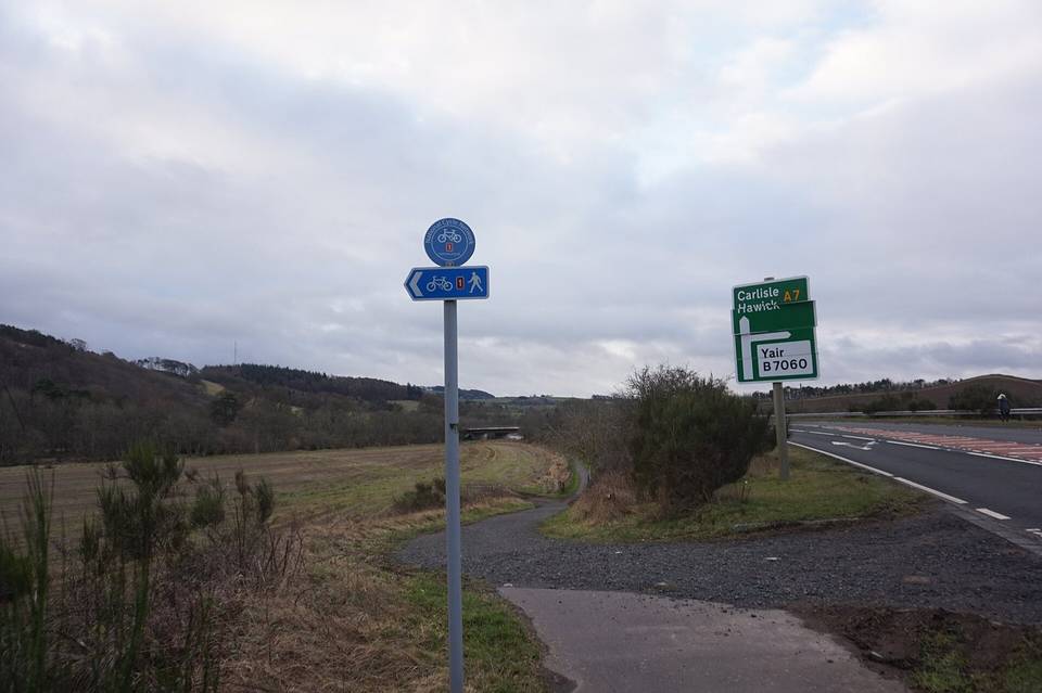
2 photographs from the road

Photo: Martin Dawes · CC BY-SA 2.0 · Wikimedia Commons · Photo: Ian S · CC BY-SA 2.0 · Wikimedia Commons · Photo: M J Richardson · CC BY-SA 2.0 · Wikimedia Commons

More rides from Darnick