
Cyclists.com

Melrose Red Route

Darnick, Scottish Borders, United KingdomRoad

Signed route The waymarked Melrose Red Route (Scottish Borders Council), traced from OpenStreetMap and measured against the terrain model; no member has recorded it yet. Ridden it? Add your recording and photos.

24 km
Distance
298 m
Elevation gain
Easy
Difficulty
Paved
Surface
Download GPXMap

Elevation profile

Total ascent
298 m
Distance
24 km
0100200300m0 km510152024 km279 m · highest, at 10.7 kmStartFinish · back at the start

Route overview

Suitable for riders comfortable with moderate climbs over 298 m on a mixed road surface loop of 23.5 km.

23.5 km loop around Darnick in the Scottish Borders with 298 m climbing.

The Melrose Red Route starts near Darnick and quickly passes through Tweedbank and Bridgend. It runs mainly on minor roads (52%) and some main roads (30%) with almost all surfaces paved. The first significant climb begins around 7.6 km, ascending 173 m over 3 km with an average gradient of 5.9%, peaking at 279 m near Lindean Smithy. After the climb, the route descends and passes places including Braidwood and Midlem. The second climb starts near 18.4 km, climbing 90 m over 2.3 km at an average 4%, reaching 249 m near Bowden. From there, the route descends steadily for 2.5 km down to 95 m at the finish in Melrose. The route includes 3 km on cycle paths and minor sections on tracks or paths. Facilities are limited along the route beyond km 5.3, with the longest stretch of 18.1 km without a café, shop or water tap. Initial support is available near the start and finish in Melrose including cafés, a convenience store, a bar, fast food, and hospital facilities.

Highlights

  • Climb to 279 m near Lindean Smithy
  • Longest descent of 2.5 km dropping 182 m
  • Route passes Tweedbank and Midlem
  • Near Quarry Hill at 22.8 km

Along the route

Measured from the recorded track and OpenStreetMap.

Places passed

  1. Bridgend 2.1 km
  2. Netherbarns 4.2 km
  3. Faldonside Stables 5.3 km
  4. Boleside 5.4 km
  5. Lindean Smithy 7.8 km
  6. Lindean Hall 8 km
  7. Lindean 8.4 km
  8. Braidwood 13.9 km
  9. Midlem 14.5 km
  10. Eastfield 16.5 km
  11. Bowden 18.7 km
  12. Faughhill 19.1 km
  13. Longleefoot 19.9 km

Climbs

ClimbStarts atLengthGainAverageMaxTop
7.6 km3 km173 m5.9 %7.5 %279 m
18.4 km2.3 km90 m4 %5.5 %249 m

High point 279 m at 10.6 km; low point 95 m. Passes beneath Touting Birks Hill, Quarry Hill.

What this ride is like

Measured from OpenStreetMap along the track and the elevation profile.

Roads
52% minor road · 30% main road · 13% cycle path · 2% track
Main roads
7.2 km on main roads without a cycle lane — likely busier
Fast roads
6 km on roads with a limit of 80 km/h or more
Cycle paths
3 km on cycle paths or roads with a cycle lane
Surface
Paved throughout
Gradient
25% climbing · 26% descending · 49% flat
Steep sections
2.9 km over 5% · steepest 500 m averages 8% at 0 km
Longest descent
2.5 km from 21 km, dropping 182 m

Along the way

Within a few hundred metres of the track, from OpenStreetMap. Opening hours change — treat this as where to look, not a promise.

Longest stretch without a café, shop or water: 18 km, from 5 km to 23 km.

Food, water and shops

  1. 1.2 kmBudgens · convenience store · 150 m off route
  2. 1.2 kmBP MFG Tweedbank Service Station · petrol station · 170 m off route
  3. 1.6 kmCoffee End · café · on the route
  4. 1.6 kmRepair stand · on the route
  5. 2.8 kmBorders Pharmacy · pharmacy · 250 m off route
  6. 5.3 kmWater tap · on the route
  7. 23.2 kmMargaret Kerr Unit · clinic · 300 m off route

Need to bail out?

  • 1.7 kmTweedbank (station), on the route

Whether bikes are carried depends on the service — check before relying on it.

Worth a stop

  • 3.8 kmHome of Sir Walter Scott (attraction)

At the start and finish

  • Melrose Cricket Club Cafe · café · 470 m
  • Tempest Brewery Taproom · bar · 810 m
  • Greggs · fast food · 850 m
  • Budgens · convenience store · 860 m

Practical information

Surface
Paved
Route shape
Loop
Riding time
1 h 41 min
Best months
Jun to Sep — daily highs of 16–18 °C in those months

Know before you go

  • Longest stretch without café, shop or water for 18.1 km from 5.3 km
  • 7.2 km on main roads without cycle lane
  • 6 km on roads with speed limits 80 km/h or more
  • 300 m gravel/unpaved in total

Routes are for inspiration. Roads, surfaces and conditions change — check locally and ride within your limits.

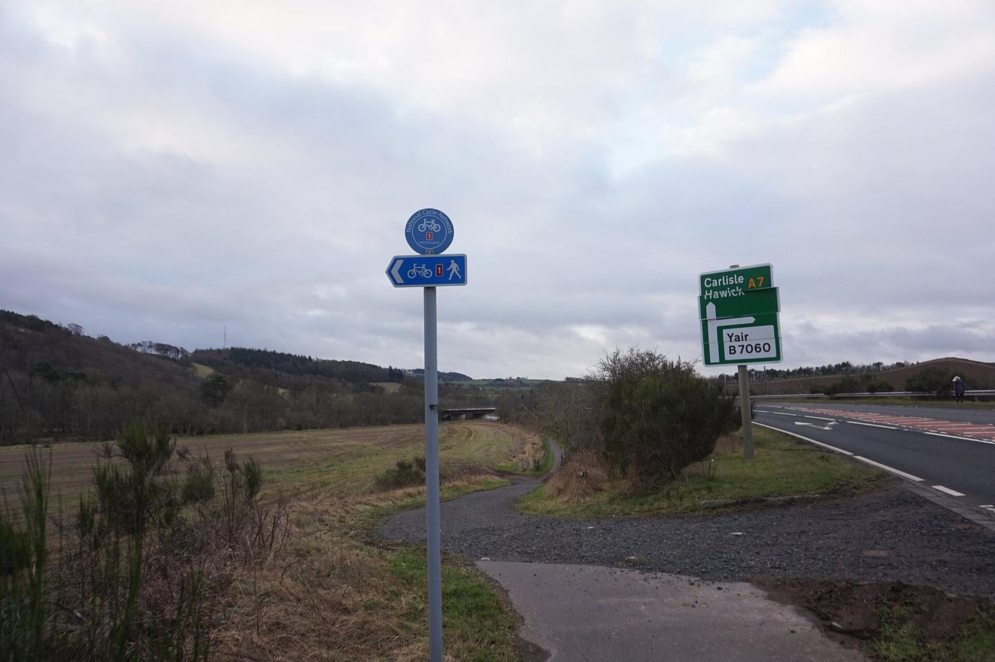
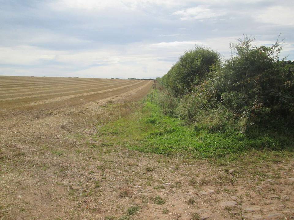
2 photographs from the road

Photo: Ian S · CC BY-SA 2.0 · Wikimedia Commons · Photo: Peter Wood · CC BY-SA 2.0 · Wikimedia Commons

More rides from Darnick