Cyclists.com

Stonehaven to Newmachar

Stonehaven, Aberdeenshire, United KingdomRoad

Signed route The waymarked EuroVelo 12 from Edinburgh (EuroVelo EV12), traced from OpenStreetMap and measured against the terrain model; no member has recorded it yet. Stage 4 of 7 of the EuroVelo 12 from Edinburgh. Ridden it? Add your recording and photos.

63 km
Distance
492 m
Elevation gain
Moderate
Difficulty
Paved
Surface
Download GPXMap

Elevation profile

Total ascent
492 m
Distance
63 km
050100150200m0 km204063 km155 m · highest, at 9.9 kmStartFinish

Route overview

Riders suited to moderate distance with some climbing over 63 km and 492 m elevation gain.

Stage 4 of 7 of the EuroVelo 12 from Edinburgh: 63.4 km from Stonehaven to Newmachar with 492 m of climbing, on the signed route.

Starting in Stonehaven, the route heads north along a diverse mixture of surfaces, with 88% paved and 10% gravel or unpaved. It climbs steadily in the first 3 km gaining 107 m at an average gradient of 3.6%, reaching a height of 113 m. The road profile includes a second shorter climb near 16 km, gaining 40 m over 1.5 km at 2.7% average gradient. The highest point on the route is 154 m at 9.7 km near Cookney. The ride traverses a variety of road types including 52% minor road, 17% path, 9% quiet street, and 9% main roads, with 5.9 km on cycle paths or lanes. Almost 6 km of main roads are without cycle lanes, and 23 km are on roads with speed limits of 80 km/h or more. The longest descent spans 2.3 km, dropping 50 m starting from 21.3 km. Facilities include a café and supermarket near the start in Stonehaven and another café and supermarket around 23 km near Portlethen. The longest stretch without a café, shop, or water is 22 km from 0.7 km to 22.8 km. Train stations for bailout points exist at Stonehaven (0.4 km), Portlethen (24.3 km), Aberdeen (41.5 km), and Dyce (52.3 km). Toilets, shops, and water points are present at various intervals along the route.

Highlights

  • Climb near Stonehaven (3 km, 107 m gain, max 6.9%)
  • High point near Cookney at 154 m
  • Peak Wedderhill near 14.5 km
  • Longest descent of 2.3 km starting near 21.3 km

Along the route

Measured from the recorded track and OpenStreetMap.

Places passed

  1. Broomhill 5.8 km
  2. Hillside 6.1 km
  3. Elrick 7.4 km
  4. Cookney 9.7 km
  5. Harecraig 10.4 km
  6. Newhall 11.1 km
  7. Chapelton of Elsick 12.1 km
  8. Quoscies 12.8 km
  9. Wedderhill 14.2 km
  10. Burnhead 16.2 km
  11. Redmyre 20.1 km
  12. Sunnyside of Badentoy 20.6 km
  13. Schoolhill 21.1 km
  14. Portlethen 24 km
  15. Portlethen Village 24.7 km
  16. Findon 26.7 km
  17. Cove Bay 31.8 km
  18. Altens 33.3 km
  19. Footdee 38.6 km
  20. Torry 39.4 km
  21. Ferryhill 41 km
  22. City Centre 41.9 km
  23. Gilcomston 42.2 km
  24. Rosemount 42.2 km
  25. Aberdeen 42.8 km
  26. Hanover 42.9 km
  27. George Street 43.3 km
  28. Pittodrie 43.9 km
  29. Kittybrewster 44.2 km
  30. Linksfield 44.2 km
  31. Old Aberdeen 44.7 km
  32. Seaton 44.9 km
  33. Tillydrone 45.9 km
  34. Hilton 46.9 km
  35. Woodside 47 km
  36. Danestone 47.7 km
  37. Middlefield 48.1 km
  38. Heathryfold 48.8 km
  39. Bucksburn 49.9 km
  40. Bankhead 50.4 km
  41. Stoneywood 51.3 km
  42. Dyce 52.3 km
  43. Aryburn 53.7 km
  44. Little Goval 56.3 km
  45. Rosehall 57.5 km
  46. Kinmundy 59.2 km
  47. Standryford 59.9 km
  48. Kingseat 60.6 km

Climbs

ClimbStarts atLengthGainAverageMaxTop
0.5 km3 km107 m3.6 %6.9 %113 m
15.8 km1.5 km40 m2.7 %3.7 %120 m

High point 154 m at 9.7 km; low point 5 m. Passes beneath Wedderhill, Hill of Auchlee, Doonies Hill.

What this ride is like

Measured from OpenStreetMap along the track and the elevation profile.

Roads
52% minor road · 17% path · 9% quiet street · 9% main road
Main roads
5.9 km on main roads without a cycle lane — likely busier
Fast roads
23.2 km on roads with a limit of 80 km/h or more
Cycle paths
5.9 km on cycle paths or roads with a cycle lane
Main roads used
B979 (4 km), Coast Road (3 km)
Surface
Paved throughout
Gradient
19% climbing · 18% descending · 64% flat
Steep sections
0.5 km over 5% · steepest 500 m averages 6.4% at 1.8 km
Longest descent
2.3 km from 21.3 km, dropping 50 m

Along the way

Within a few hundred metres of the track, from OpenStreetMap. Opening hours change — treat this as where to look, not a promise.

Longest stretch without a café, shop or water: 22 km, from 1 km to 23 km.

Food, water and shops

  1. 0 kmToilets · 120 m off route
  2. 0 kmBike Remedy · bike shop · 150 m off route
  3. 0 kmBoots · pharmacy · 80 m off route
  4. 0.1 kmWaterfront Cafe · café · 50 m off route
  5. 0.7 kmTop Up Tap · drinking water · 160 m off route
  6. 23.1 kmAsda · supermarket · 230 m off route
  7. 24.4 kmCharles Michie's Pharmacy · pharmacy · 90 m off route
  8. 31.8 kmThe Snooty Fox · pub · 310 m off route
  9. 38 kmGreyhope Bay Centre · café · 50 m off route
  10. 39.9 kmTaylor's Self Service · supermarket · on the route
  11. 42.2 kmToilets · 100 m off route
  12. 42.6 kmTop Up Tap · drinking water · 150 m off route
  13. 43.3 kmMorrisons Petrol Station · petrol station · 100 m off route
  14. 44.6 kmbeCyCle · bike shop · 60 m off route
  15. 47.1 kmCrown Bar · pub · 140 m off route
  16. 51.1 kmCo-op Food · supermarket · 60 m off route
  17. 52.3 kmBP · petrol station · 60 m off route
  18. 53.4 kmToilets · 250 m off route

Need to bail out?

  • 0.4 kmStonehaven (station), 950 m off route
  • 24.3 kmPortlethen (station), 90 m off route
  • 41.5 kmAberdeen (station), 240 m off route
  • 52.3 kmDyce (station), 870 m off route

Whether bikes are carried depends on the service — check before relying on it.

Worth a stop

  • 14.5 kmWedderhill (peak, 144 m)
  • 34.5 kmDoonies Hill (peak, 68 m)
  • 38.1 kmTorry Battery (ruins)
  • 42.2 kmEducation, Salvation and Damnation (viewpoint)
  • 46.9 km50 ABD (archaeological site)

At the start

  • Waterfront Cafe · café · 110 m
  • Co-op Food · supermarket · 80 m
  • J G Ross Craft Baker · bakery · 90 m
  • Goodfellow & Steven Bakery · bakery · 90 m
  • Nikki's · café · 100 m

At the finish

  • Newmachar Pharmacy · pharmacy · 610 m

Practical information

Surface
Paved
Route shape
Point to point
Riding time
4 h 32 min
Best months
Jun to Sep — daily highs of 16–17 °C in those months

Know before you go

  • Longest stretch without café, shop or water 22.1 km from 0.7 km
  • 5.9 km on main roads without a cycle lane
  • 23.2 km on roads with 80 km/h+ speed limits
  • 10% of route gravel or unpaved

Routes are for inspiration. Roads, surfaces and conditions change — check locally and ride within your limits.

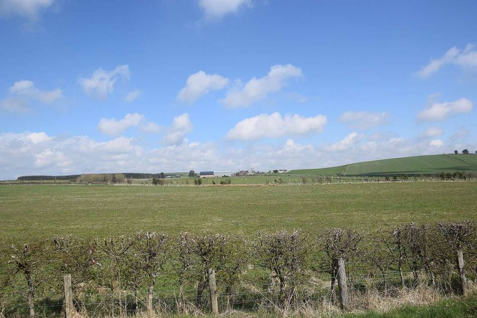
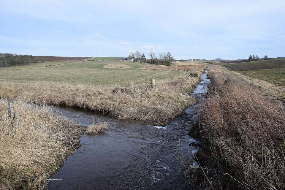
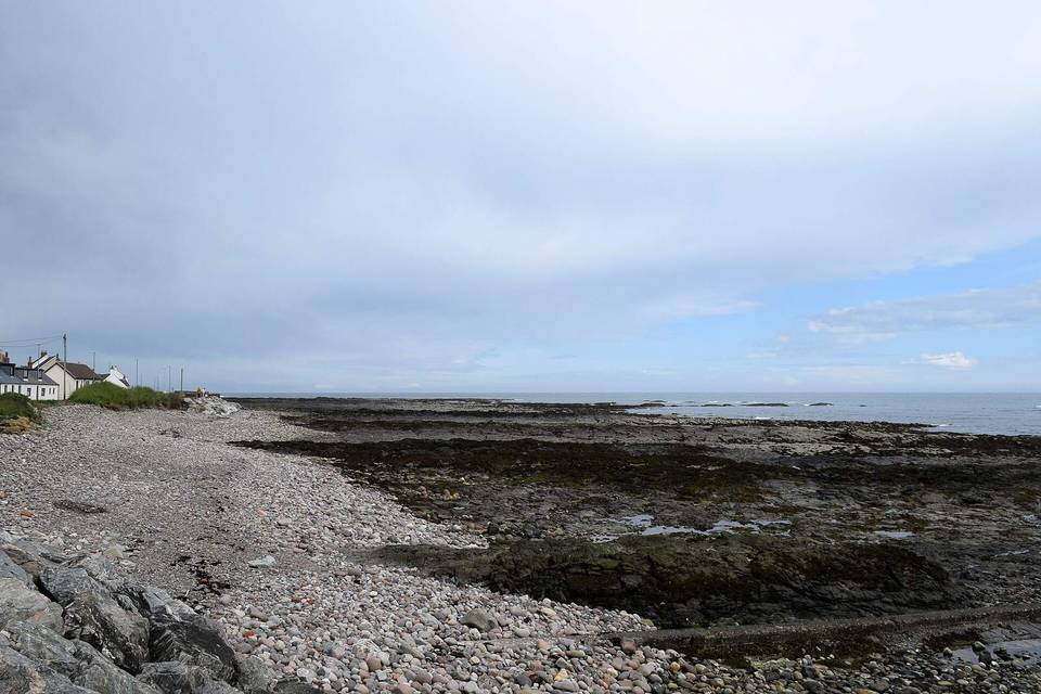
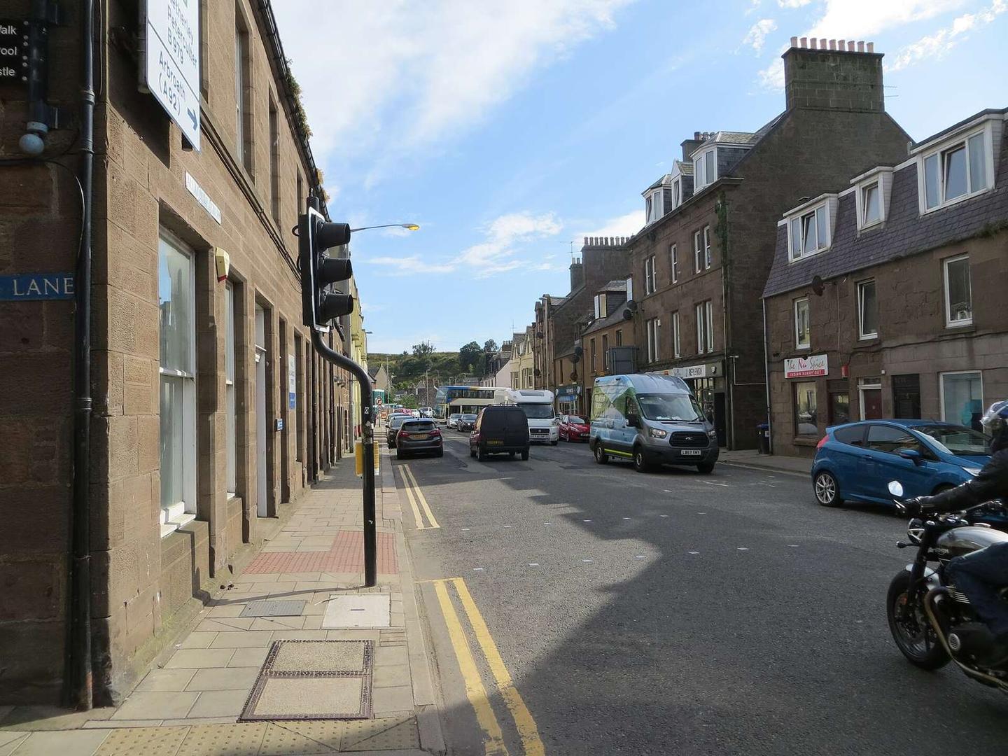
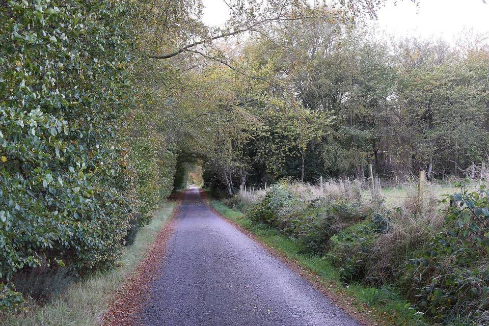
2 photographs from the road

Photo: Tifa Zabat · CC BY-SA 4.0 · Wikimedia Commons · Photo: Peter Wood · CC BY-SA 2.0 · Wikimedia Commons · Photo: Ralph Greig · CC BY-SA 2.0 · Wikimedia Commons

Stage of