
Cyclists.com

Ballater to Gairnshiel Circular

Ballater, Aberdeenshire, United KingdomGravel

Signed route The waymarked Ballater to Gairnshiel Circular (3), traced from OpenStreetMap and measured against the terrain model; no member has recorded it yet. Ridden it? Add your recording and photos.

32 km
Distance
374 m
Elevation gain
Easy
Difficulty
Paved
Surface
Download GPXMap

Elevation profile

Total ascent
374 m
Distance
32 km
0100200300400500m0 km102032 km475 m · highest, at 13.6 kmStartFinish · back at the start

Route overview

Cyclists suited to medium distance with moderate climbing over mixed surfaces.

31.7 km loop from Ballater in Aberdeenshire with 374 m climbing over mixed surfaces.

Starting in Ballater, this 31.7 km circular route heads east passing Bridge of Gairn at 1.9 km. The first notable climb begins at 3.2 km, lasting 3.2 km up to 328 m with an average gradient of 2.6% and a maximum of 4.9%. The route continues to Crathie at 18.3 km and Easter Balmoral at 19.3 km. The second climb starts at 11 km on the outward leg, measuring 2.6 km with an average of 4.8% and reaching 475 m elevation. The majority of the ride is on main roads, covering 27.3 km mainly on the B976 for 19 km and the A939 for 7.5 km. About 13% of the route is on gravel or unpaved tracks, totaling 3.7 km. The route also features the longest descent of 4.7 km beginning at 13.7 km and dropping 195 m. There is a continuous 18.3 km stretch without cafés, shops, or water from Ballater to Crathie. Facilities are available at the start/finish in Ballater, including cafés, a bakery, supermarket, bike shops, and at the finish near 31.7 km.

Highlights

  • Climb to 475 m high point at 13.6 km
  • Passes Abergeldie Castle at 22 km
  • Longest descent of 4.7 km from 13.7 km
  • Near Creag nam Ban peak at 22.9 km

Along the route

Measured from the recorded track and OpenStreetMap.

Places passed

  1. Crathie 18.3 km
  2. Easter Balmoral 19.3 km
  3. Mains of Abergeldie 22.2 km
  4. Knock 29.1 km
  5. Ardmeanach 29.3 km

Climbs

ClimbStarts atLengthGainAverageMaxTop
3.2 km3.2 km84 m2.6 %4.9 %328 m
11 km2.6 km126 m4.8 %8.3 %475 m

High point 475 m at 13.6 km; low point 205 m. Passes beneath Craigendarroch, Creag Mhòr, Creag a' Chlamhain.

What this ride is like

Measured from OpenStreetMap along the track and the elevation profile.

Roads
86% main road · 12% track
Main roads
27.3 km on main roads without a cycle lane — likely busier
Fast roads
8.5 km on roads with a limit of 80 km/h or more
Main roads used
B976 (19 km), A939 (8 km)
Surface
87% paved · 13% gravel or unpaved
Gradient
30% climbing · 28% descending · 41% flat
Steep sections
1.3 km over 5% · 0.5 km over 8% · steepest 500 m averages 15.7% at 0 km
Longest descent
4.7 km from 13.7 km, dropping 195 m

Along the way

Within a few hundred metres of the track, from OpenStreetMap. Opening hours change — treat this as where to look, not a promise.

Longest stretch without a café, shop or water: 18 km, from 0 km to 18 km.

Food, water and shops

  1. 0 kmOrka Artisa Cafe & Bistro · café · 330 m off route
  2. 0 kmCo-op Food · supermarket · 350 m off route
  3. 0 kmBike Station Ballater · bike shop · 340 m off route
  4. 0 kmBallater Clinic · clinic · 450 m off route
  5. 18.3 kmThe Highlanders Bakehouse · café · 380 m off route
  6. 31.4 kmToilets · 110 m off route
  7. 31.6 kmCycle Highlands · bike shop · 370 m off route
  8. 31.7 kmThe Green Cafe · café · 230 m off route
  9. 31.7 kmDavidsons Chemists · pharmacy · 250 m off route

Worth a stop

  • 22 kmAbergeldie Castle (castle)
  • 29.8 kmScurriestone (archaeological site)

At the start and finish

  • Orka Artisa Cafe & Bistro · café · 330 m
  • Byron Bakery · bakery · 340 m
  • Co-op Food · supermarket · 350 m
  • The Green Cafe · café · 560 m
  • Bike Station Ballater · bike shop · 340 m

Practical information

Surface
Paved
Route shape
Loop
Riding time
2 h 38 min
Best months
Jun to Aug — daily highs of 17–18 °C in those months

Know before you go

  • 18.3 km without café, shop or water from 0 to 18.3 km
  • 27.3 km on main roads without a cycle lane
  • 8.5 km on roads with 80 km/h speed limit
  • 3.7 km on gravel or unpaved track

Routes are for inspiration. Roads, surfaces and conditions change — check locally and ride within your limits.

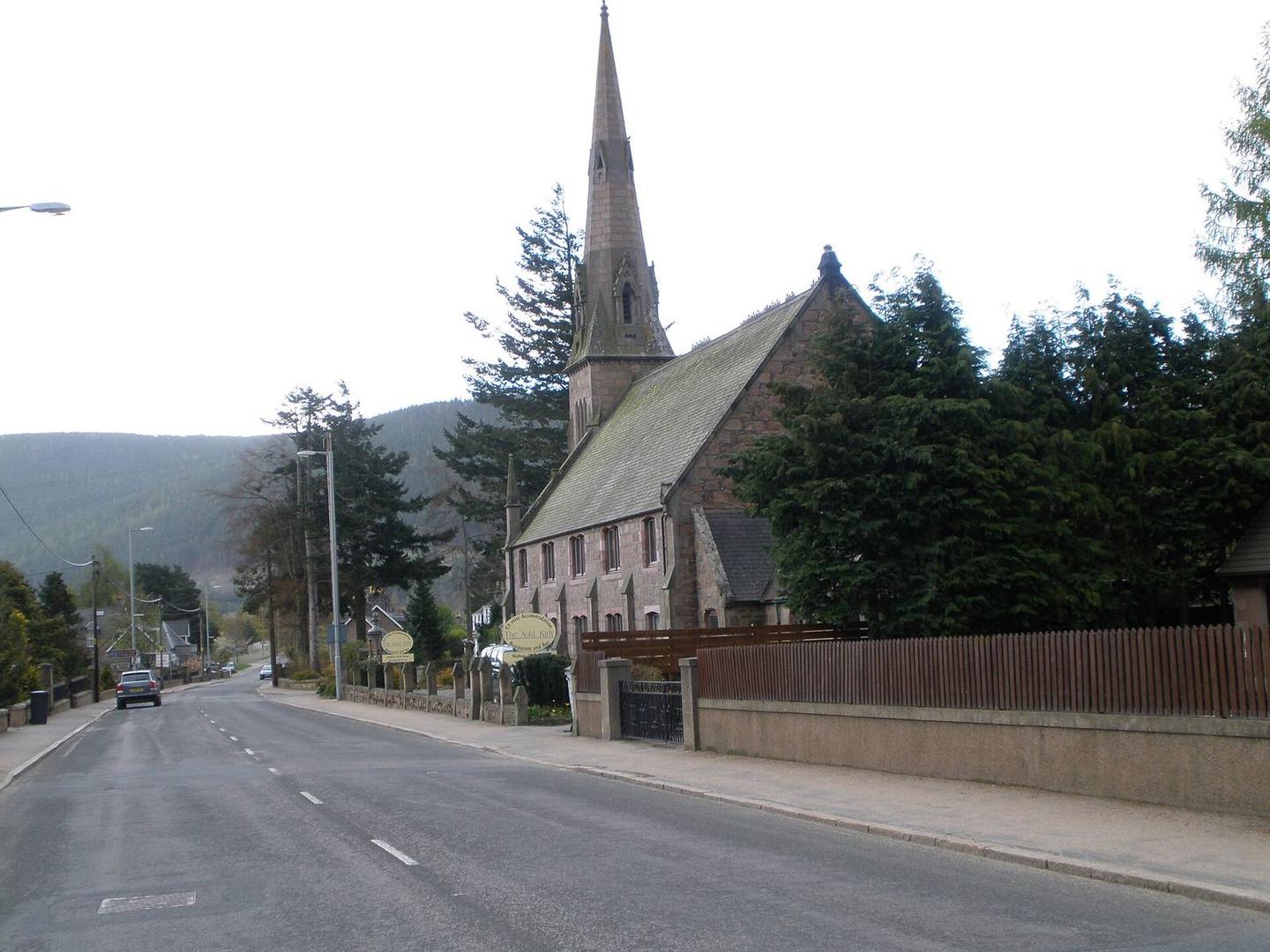
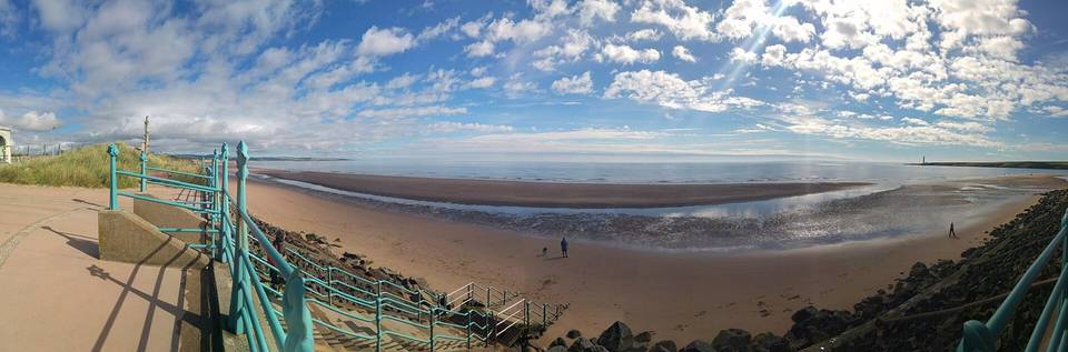
2 photographs from the road

Photo: Michael Dibb · CC BY-SA 2.0 · Wikimedia Commons · Photo: John Ferguson · CC BY-SA 2.0 · Wikimedia Commons · Photo: Alec MacKinnon · CC BY-SA 2.0 · Wikimedia Commons

More rides from Ballater