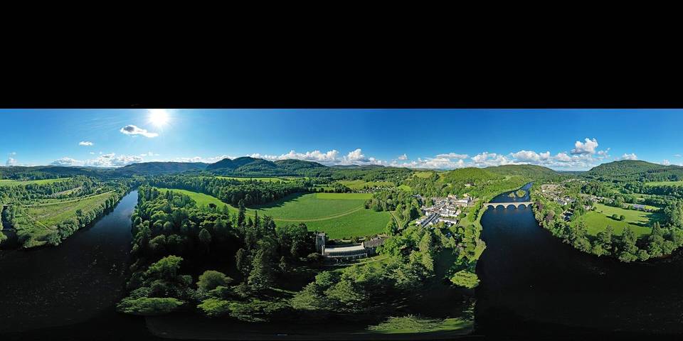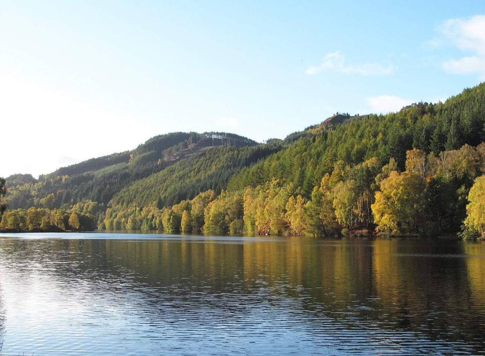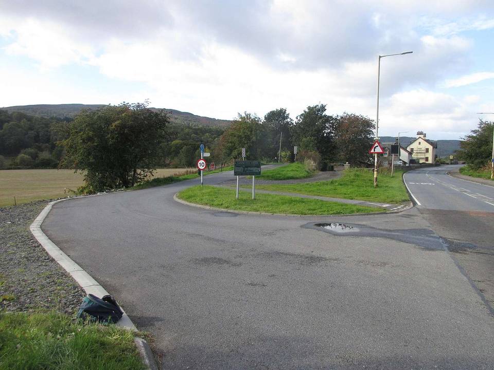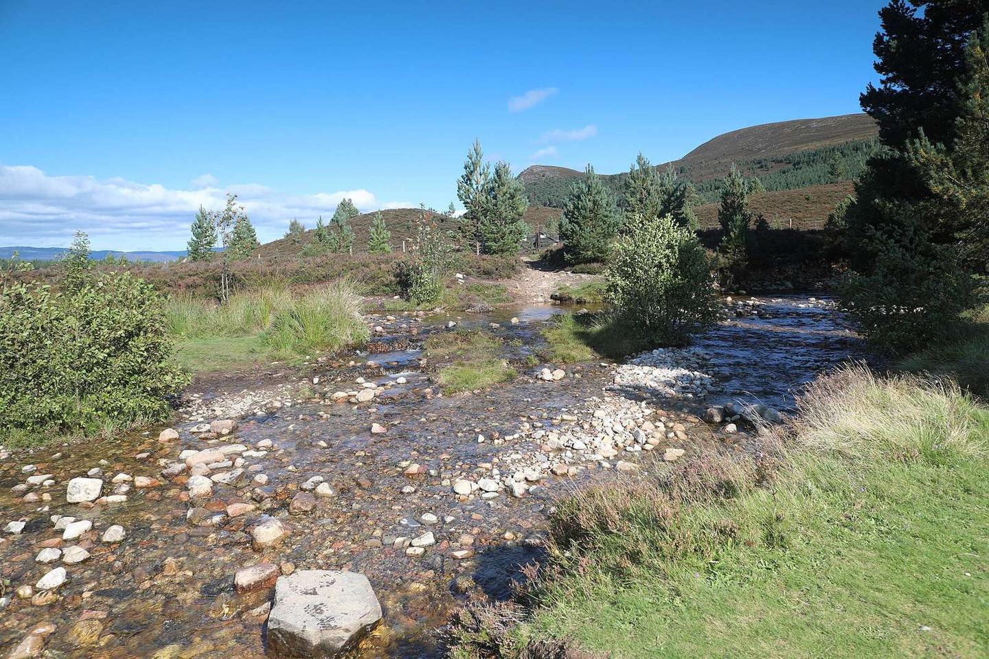
Bridge of Tilt to Braemar
- 113 km
- 873 m
- Hard
- Mixed
Elevation profile
- 873 m
- 113 km
Route overview
Suitable for riders prepared to cycle over 100 km with moderate climbing and mixed surfaces including gravel.
Stage 1 of 2 of the Cairngorms Loop (part): 113.2 km from Bridge of Tilt to Braemar with 873 m of climbing, on the signed route.
The route starts at Bridge of Tilt and passes through places including Bailanloan, Old Blair, Baluain, Pitagowan, Calvine, and Clunes before reaching Feshiebridge at 61.5 km. It continues past Achlean, Carnachuin, Inverey, and finishes at Braemar. The course includes five climbs, with the longest climb of 2.9 km starting at 15.4 km, gaining 119 m at an average 4.1% gradient. The highest point is at 563 m at 84.6 km. The profile features 20% climbing, 16% descending, and 65% flat terrain.
Highlights
- Climb starting at 15.4 km (2.9 km, 119 m gain)
- Highest point at 563 m near 84.6 km
- Braemar town facilities at 110.4 km
- Peaks near the road: An Dùn (827 m) and Srion Bhuirich (847 m)
Along the route
Places passed
Climbs
| Climb | Starts at | Length | Gain | Average | Max | Top |
|---|---|---|---|---|---|---|
| — | 15.4 km | 2.9 km | 119 m | 4.1 % | 7.1 % | 391 m |
| — | 24.6 km | 1.8 km | 40 m | 2.3 % | 4.6 % | 496 m |
| — | 51.1 km | 1.6 km | 55 m | 3.4 % | 7.5 % | 335 m |
| — | 77.9 km | 3.4 km | 71 m | 2.1 % | 6 % | 487 m |
| — | 81.6 km | 2.2 km | 63 m | 2.9 % | 3.9 % | 556 m |
What this ride is like
- Roads
- 41% track · 25% minor road · 16% quiet street · 15% path
- Main roads
- 3.8 km on main roads without a cycle lane — likely busier
- Fast roads
- 27.2 km on roads with a limit of 80 km/h or more
- Main roads used
- C1M (9 km), Achlean Road (7 km)
- Surface
- 39% paved · 61% gravel or unpaved
- Gradient
- 20% climbing · 16% descending · 65% flat
- Steep sections
- 1.4 km over 5% · steepest 500 m averages 13.4% at 0 km
- Longest descent
- 4.8 km from 91.4 km, dropping 88 m
Along the way
Longest stretch without a café, shop or water: 67 km, from 8 km to 74 km.
Food, water and shops
- 1 kmTullibardine Restaurant · restaurant · 320 m off route
- 5.5 kmCafé · 80 m off route
- 74.2 kmSpring · 90 m off route
- 100.6 kmToilets · 180 m off route
- 110.3 kmGordon's Tea Room & Restaurant · café · on the route
- 110.3 kmThe Co-operative Food · supermarket · 40 m off route
- 110.3 kmBraemar Pharmacy & Newsagents · pharmacy · on the route
- 110.4 kmTop Up Tap · drinking water · on the route
- 110.4 kmToilets · 80 m off route
- 110.4 kmBraemar Mountain Sports · bike shop · 100 m off route
Need to bail out?
- 0 km — Blair Atholl (station), 1.1 km off route
Worth a stop
- 1 km — Blair Castle (castle)
- 5.6 km — House of Bruar (attraction)
- 34.1 km — Remains of Gaick Both (ruins)
- 94.5 km — Aultannich (ruins)
- 100.4 km — Linn of Dee (attraction)
- 110.4 km — Braemar War Memorial (monument)
At the start
- Tullibardine Restaurant · restaurant · 890 m
At the finish
- Gordon's Tea Room & Restaurant · café · 80 m
- The Old Bakery · café · 80 m
- The Co-operative Food · supermarket · 60 m
- Braemar Pharmacy & Newsagents · pharmacy · 100 m
- Farquharsons Bar and Kitchen · restaurant · 60 m
Stay after this ride
- Fife Arms Hotel · hotel · 40 m from the finish
- Ivy Cottage · guest house · 80 m from the finish
- Rucksacks Braemar · hostel · 110 m from the finish
- Invercauld Arms Hotel · hotel · 240 m from the finish
- Callater Lodge · hotel · 300 m from the finish
Practical information
- Mixed
- Point to point
- 9 h 26 min
- Jun to Aug — daily highs of 17–18 °C in those months
Know before you go
- 61 km without café, shop or water from 7.6 to 74.2 km
- 27.2 km on roads with speed limits 80 km/h or more
- 3.8 km on main roads without cycle lane
- 61% gravel or unpaved surface