Cyclists.com

Yellow Cycle Route

Boltachan, Perth and Kinross, United KingdomRoad

Signed route The waymarked Yellow Cycle Route (local route), traced from OpenStreetMap and measured against the terrain model; no member has recorded it yet. Ridden it? Add your recording and photos.

29 km
Distance
334 m
Elevation gain
Easy
Difficulty
Paved
Surface
Download GPXMap

Elevation profile

Total ascent
334 m
Distance
29 km
0100200300400500m0 km102029 km386 m · highest, at 14.5 kmStartFinish

Route overview

Suitable for cyclists prepared for 334 m of climbing over 29 km with some sustained gradients.

Yellow Cycle Route is a 28.9 km ride from Aberfeldy to Boltachan in Perth and Kinross, UK, with 334 m of climbing.

The route begins in Aberfeldy, passing through Weem, Castle Menzies, and Camserney within the first 3 km. A spring called David's Well is near the start at 0.4 km, and toilets are available near Camserney. From km 3.8 to km 28.9 there is a 25.1 km stretch without cafés, shops, or water, although the Highland Safaris Cafe is just off route at 3.8 km. The ride includes two climbs: one starting at 7.1 km, ascending 175 m over 3.6 km with an average gradient of 4.9% and a maximum of 8.1%, reaching 279 m altitude; the second climb begins at 11 km, gaining 103 m over 2.9 km at an average 3.5% gradient and max 5.7%, topping out at 382 m. The highest point on the route is at 14.2 km at 386 m. The longest descent follows from km 14.4 for 4.8 km with a 230 m drop. Most of the surface (99%) is paved, with 1% gravel. Roads include 16.8 km on main roads (all without cycle lanes) mainly along B846 and 11.6 km on minor roads, including C452. Nearly 27.8 km of the ride is on roads with speed limits of 80 km/h or more. Places passed later include Dull, Coshieville, Keltneyburn, Foss, and finishes at Boltachan, beneath Torr Chonneil at 326 m.

Highlights

  • Climb of 3.6 km with 175 m gain from km 7.1
  • Highest point at 386 m at km 14.2
  • Foss Mill archaeological site at 17.5 km
  • B846 road for 16.8 km

Along the route

Measured from the recorded track and OpenStreetMap.

Places passed

  1. Camserney 3 km
  2. Dull 4.5 km
  3. Coshieville 7.5 km
  4. Keltneyburn 7.8 km
  5. Foss 18.5 km

Climbs

ClimbStarts atLengthGainAverageMaxTop
7.1 km3.6 km175 m4.9 %8.1 %279 m
11 km2.9 km103 m3.5 %5.7 %382 m

High point 386 m at 14.2 km; low point 86 m. Passes beneath Torr Chonneil.

What this ride is like

Measured from OpenStreetMap along the track and the elevation profile.

Roads
58% main road · 40% minor road
Main roads
16.8 km on main roads without a cycle lane — likely busier
Fast roads
27.8 km on roads with a limit of 80 km/h or more
Main roads used
B846 (17 km), C452 (11 km)
Surface
Paved throughout
Gradient
26% climbing · 23% descending · 51% flat
Steep sections
2.5 km over 5% · steepest 500 m averages 7.8% at 8.8 km
Longest descent
4.8 km from 14.4 km, dropping 230 m

Along the way

Within a few hundred metres of the track, from OpenStreetMap. Opening hours change — treat this as where to look, not a promise.

Longest stretch without a café, shop or water: 25 km, from 4 km to 29 km.

Food, water and shops

  1. 0.4 kmDavid's Well · spring · 220 m off route
  2. 3 kmToilets · 60 m off route
  3. 3.8 kmHighland Safaris Cafe · café · 130 m off route

Worth a stop

  • 1.3 kmCastle Menzies (castle)
  • 6.5 kmComrie Castle (castle)
  • 17.5 kmFoss Mill (archaeological site)
  • 20.8 kmCeann na Coille, dun (archaeological site)

At the start

  • Ailean Chraggan Restaurant · restaurant · 50 m
  • David's Well · spring · 540 m

Stay after this ride

  • Ardgualich Farm & Loch Tummel Camp Site · campsite · 3.1 km from the finish

Practical information

Surface
Paved
Route shape
Point to point
Riding time
2 h 04 min
Best months
Jun to Aug — daily highs of 17–18 °C in those months

Know before you go

  • 25.1 km without café, shop or water after 3.8 km
  • 16.8 km on main roads without a cycle lane
  • 27.8 km on roads with 80 km/h+ speed limits
  • 0.2 km at max 8.1% gradient
  • 0.1 km at max 10% gradient

Routes are for inspiration. Roads, surfaces and conditions change — check locally and ride within your limits.

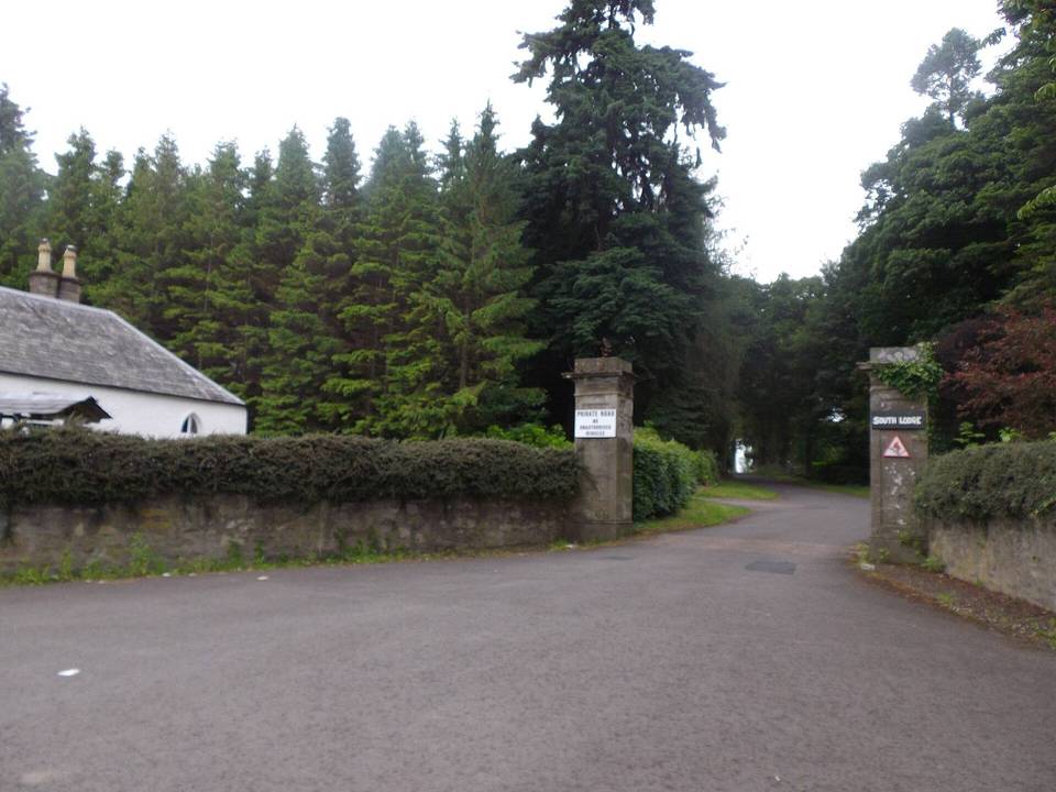
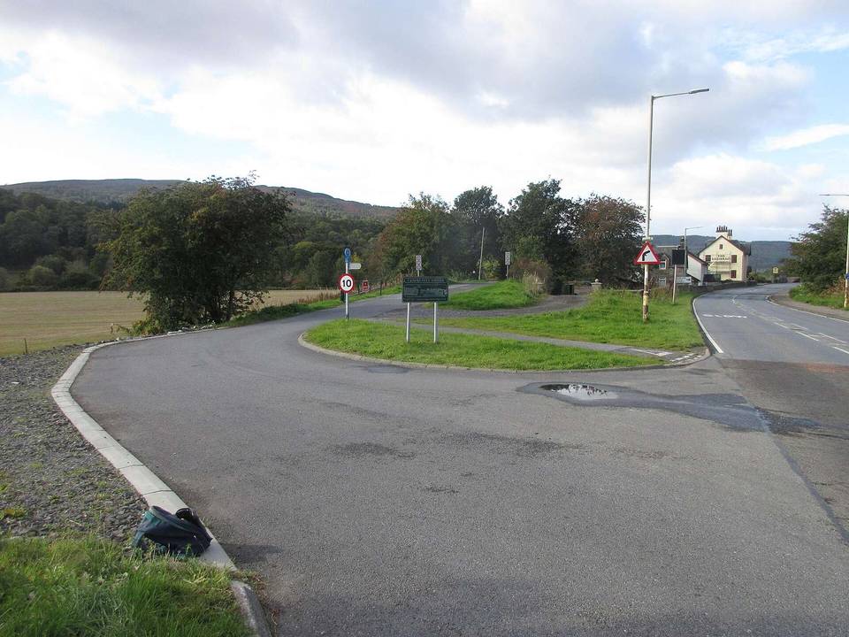
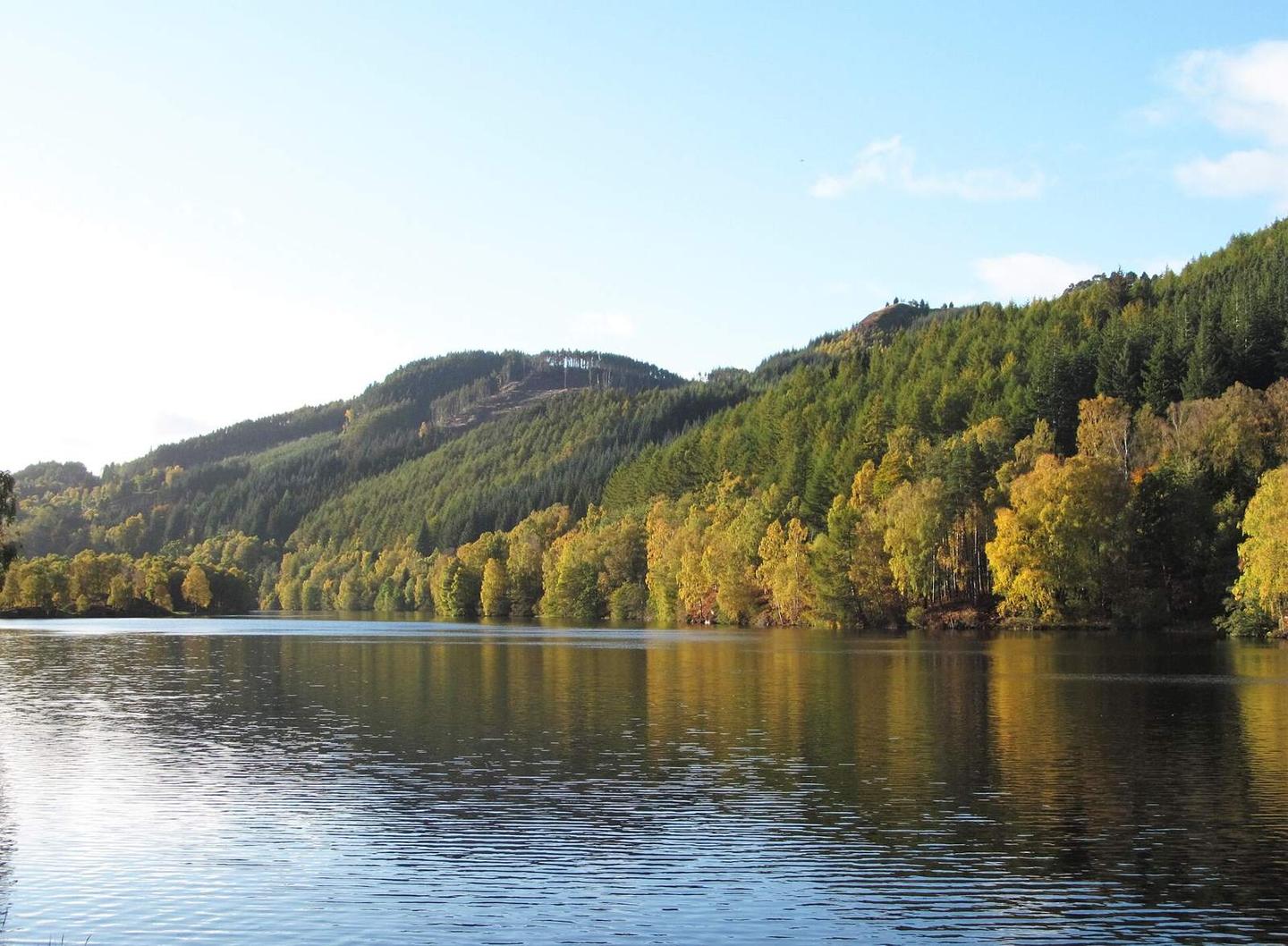
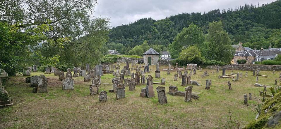
2 photographs from the road

Photo: Charles from Port Chester, New York · CC BY 2.0 · Wikimedia Commons · Photo: Gordon Hatton · CC BY-SA 2.0 · Wikimedia Commons · Photo: Steven Brown · CC BY-SA 2.0 · Wikimedia Commons