Cyclists.com

Carrbridge to Blair Atholl

Carrbridge, Highland, United KingdomRoad

Signed route The waymarked EuroVelo 1 (EuroVelo EV1), traced from OpenStreetMap and measured against the terrain model; no member has recorded it yet. Stage 2 of 7 of the EuroVelo 1. Ridden it? Add your recording and photos.

101 km
Distance
392 m
Elevation gain
Hard
Difficulty
Paved
Surface
Download GPXMap

Elevation profile

Total ascent
392 m
Distance
101 km
0100200300400500m0 km255075100 km456 m · highest, at 71.8 kmStartFinish

Route overview

Riders suited to a 100 km ride with moderate climbing (392 m) on mixed surfaces.

Stage 2 of 7 of the EuroVelo 1: 100.5 km from Carrbridge to Blair Atholl with 392 m of climbing, on the signed route.

Starting in Carrbridge at 131 m elevation, the route heads through Chapelton and Boat of Garten, reaching Aviemore at 15.6 km and continuing past Inverdruie and Dalnavert. It crosses near Ord Bàn (428 m) and Torr Alvie (358 m) around 20-21 km, then moves on to Feshiebridge and Insh, reaching Kingussie and Newtonmore before 45 km. The route climbs steadily to its highest point at 457 m near 71 km before descending towards Blair Atholl. The surface is mainly paved (91%) with some gravel or unpaved sections (8%). The road types include 33.6 km on main roads, 23.9 km on cycle paths, and smaller proportions on minor roads, tracks, and quiet streets. Notable named roads are B970 for 21.1 km and U2387 for 7.8 km. There are 39.7 km on main roads without cycle lanes and 52.5 km on roads with posted limits of 80 km/h or more. Places to refuel or stop include cafés at 0.5 km near Carrbridge, the Osprey Cafe at 6.9 km, the Folk Park Coffee Shop at 43.2 km, and the Apiary at 61.7 km. Shops and bike shops are available at Carrbridge, Boat of Garten, Aviemore, Kingussie, and Dalwhinnie. The longest stretch without a café, shop or water is 30 km from 62.2 km to 92.2 km. There are bailout stations at Carrbridge, Boat of Garten, Aviemore, Kingussie, Dalwhinnie, and Blair Atholl.

Highlights

  • Peaks near the road: Ord Bàn and Torr Alvie
  • Highest point at 457 m near 71 km
  • Longest descent of 3.6 km starting at 79 km
  • Main road section including B970 for 21.1 km

Along the route

Measured from the recorded track and OpenStreetMap.

Places passed

  1. Chapleton 4.9 km
  2. Boat of Garten 7.3 km
  3. Aviemore 15.6 km
  4. Inverdruie 17.9 km
  5. Dalnavert 24.3 km
  6. Feshiebridge 26.6 km
  7. Insh 32.1 km
  8. Tromie Mills 35.6 km
  9. Kingussie 40.1 km
  10. Newtonmore 44.4 km
  11. Etteridge 51.9 km
  12. Crubenbeg 52.6 km
  13. Dalwhinnie 61.7 km
  14. Dalnaspidal 74.3 km
  15. Clunes 89.8 km
  16. Calvine 92.4 km
  17. Pitagowan 94 km
  18. Baluain 95.8 km

What this ride is like

Measured from OpenStreetMap along the track and the elevation profile.

Roads
34% main road · 24% cycle path · 21% minor road · 6% quiet street
Main roads
39.7 km on main roads without a cycle lane — likely busier
Fast roads
52.5 km on roads with a limit of 80 km/h or more
Cycle paths
25.6 km on cycle paths or roads with a cycle lane
Main roads used
B970 (21 km), U2387 (8 km), B8079 (5 km), B9153 (4 km)
Surface
Paved throughout
Gradient
7% climbing · 13% descending · 80% flat
Longest descent
3.6 km from 79 km, dropping 69 m

Along the way

Within a few hundred metres of the track, from OpenStreetMap. Opening hours change — treat this as where to look, not a promise.

Longest stretch without a café, shop or water: 30 km, from 62 km to 92 km.

Food, water and shops

  1. 0 kmSpar · convenience store · 120 m off route
  2. 0 kmToilets · 80 m off route
  3. 0.5 kmCafé · 80 m off route
  4. 7.3 kmBoat of Garten Post Office and village shop · convenience store · on the route
  5. 7.3 kmCairngorm Bike & Hike · bike shop · 90 m off route
  6. 15.9 kmBoots · pharmacy · 150 m off route
  7. 16 kmTesco · supermarket · 150 m off route
  8. 16 kmToilets · 80 m off route
  9. 16.4 kmBP · petrol station · 60 m off route
  10. 40.1 kmTop Up Tap · drinking water · 40 m off route
  11. 43.2 kmThe Folk Park Coffee Shop · café · on the route
  12. 43.3 kmToilets · on the route
  13. 44.4 kmStrathspey Pharmacy · pharmacy · on the route
  14. 47.7 kmRalia Cafe · café · 40 m off route
  15. 61.7 kmThe Apiary · café · 150 m off route
  16. 62.2 kmConvenience store · 60 m off route
  17. 94.3 kmCafé · 80 m off route
  18. 99.3 kmConvenience store · 70 m off route

Need to bail out?

  • 0 kmCarrbridge (station), 890 m off route
  • 7.3 kmBoat of Garten (station), 120 m off route
  • 16.4 kmAviemore (station), 160 m off route
  • 39.8 kmKingussie (station), 60 m off route
  • 61.7 kmDalwhinnie (station), 310 m off route
  • 99.2 kmBlair Atholl (station), 70 m off route

Whether bikes are carried depends on the service — check before relying on it.

Worth a stop

  • 0.7 kmBamboozeleum (attraction)
  • 14.7 kmCairngorm Brewery (attraction)
  • 17.8 kmTreeZone (attraction)
  • 43.1 kmLochanhully House (attraction)
  • 61.1 kmDalwhinnie Distillery (attraction)
  • 79.2 kmThe Wade Stone (monument)

At the start

  • Cairn Hotel · bar · 50 m
  • Istanbul Kebab House · fast food · 90 m
  • Spar · convenience store · 120 m
  • Carrbridge · station · 890 m

At the finish

  • Blair Atholl · station · 140 m
  • Bothy Bar · pub · 70 m
  • Blair Atholl Watermill Tea Room · café · 170 m
  • Blair Castle Caravan Park Shop · convenience store · 340 m
  • Craft Beer Centre · fast food · 360 m

Stay after this ride

  • Atholl Arms Hotel · hotel · 60 m from the finish
  • Blair Castle Caravan Park · campsite · 470 m from the finish
  • Bridge of Tilt Hotel · hotel · 580 m from the finish
  • The Firs · guest house · 600 m from the finish
  • Ptarmigan house · guest house · 690 m from the finish

Practical information

Surface
Paved
Route shape
Point to point
Riding time
7 h 11 min
Best months
Jun to Aug — daily highs of 16–17 °C in those months

Know before you go

  • 30 km longest stretch without café, shop or water after 62.2 km
  • 39.7 km on main roads without cycle lanes
  • 52.5 km on fast roads with speed limits of 80 km/h or more
  • 8% gravel or unpaved surface

Routes are for inspiration. Roads, surfaces and conditions change — check locally and ride within your limits.

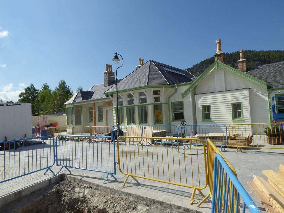
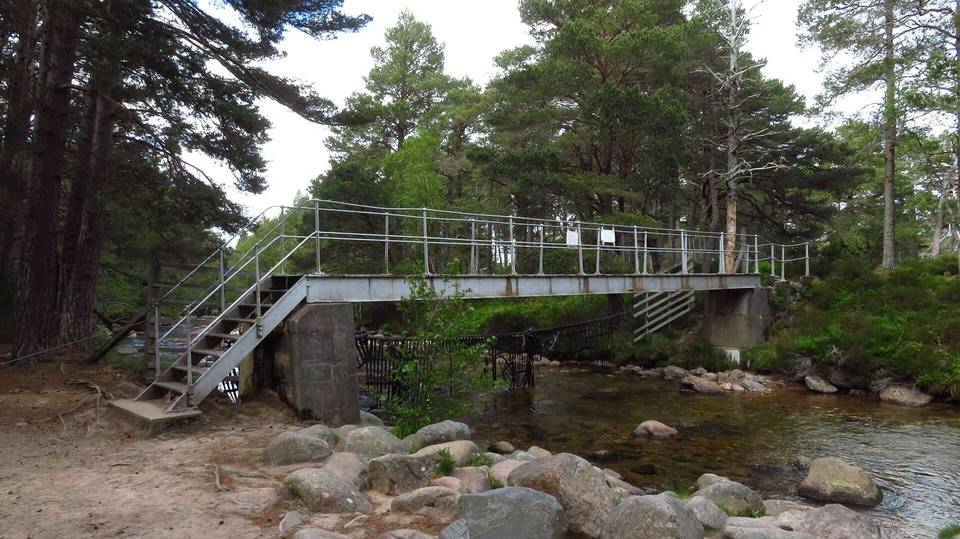
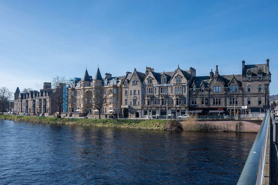
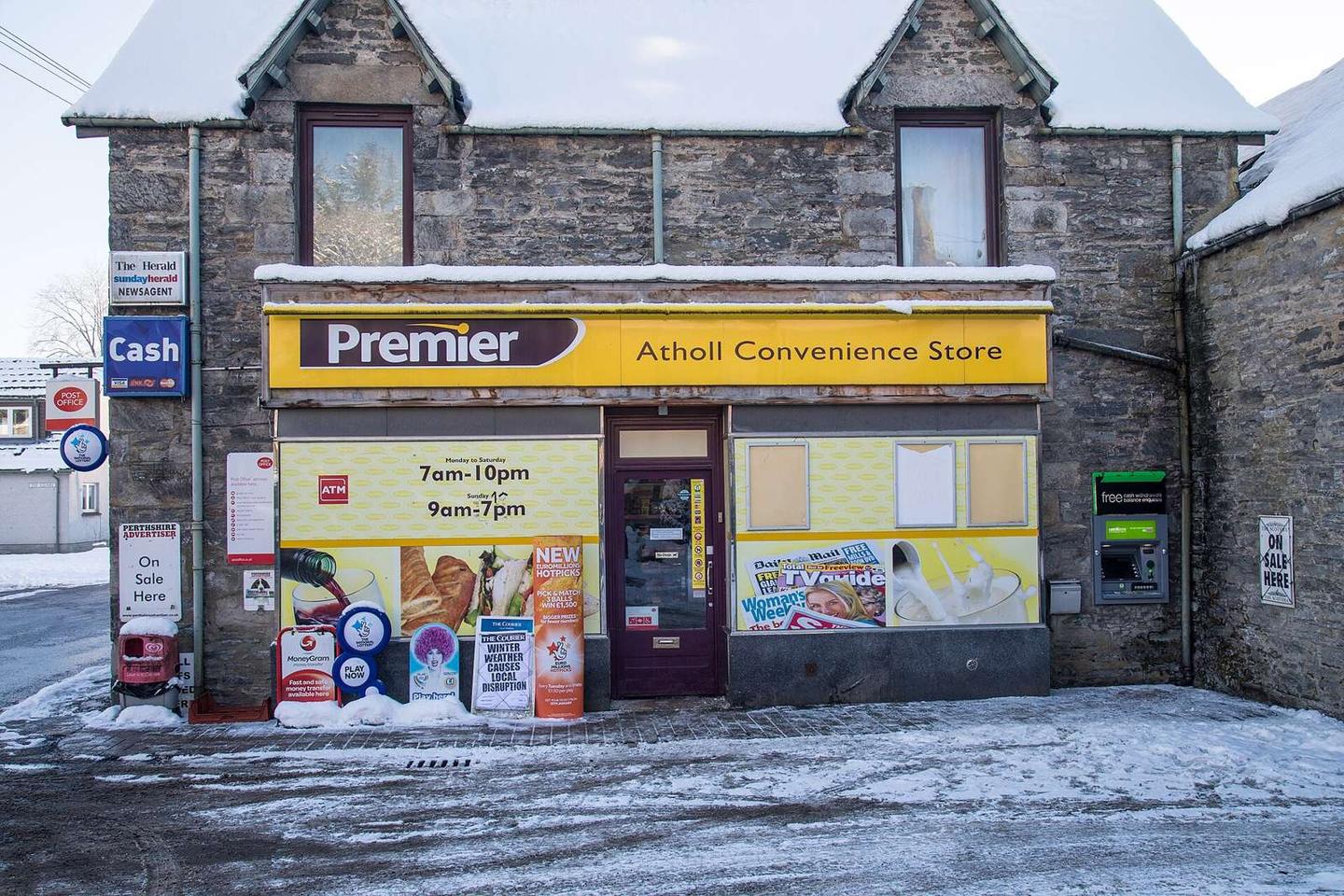
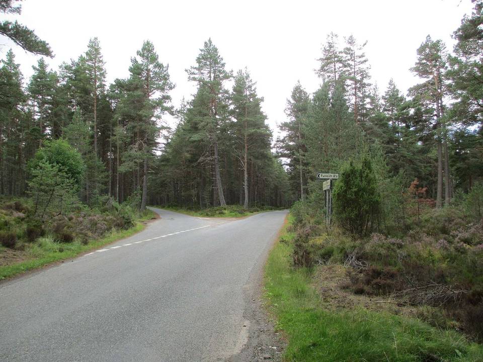
2 photographs from the road

Photo: Garry Cornes · CC BY-SA 2.0 · Wikimedia Commons · Photo: Dg-505 · CC BY 3.0 · Wikimedia Commons · Photo: Darrin Antrobus · CC BY-SA 2.0 · Wikimedia Commons

Stage of