Cyclists.com

National Cycle Route 79

Boat of Garten, Highland, United KingdomMixed

Signed route The waymarked National Cycle Route 79 (Walk Wheel Cycle Trust), traced from OpenStreetMap and measured against the terrain model; no member has recorded it yet. Ridden it? Add your recording and photos.

77 km
Distance
303 m
Elevation gain
Moderate
Difficulty
Mixed
Surface
Download GPXMap

Elevation profile

Total ascent
303 m
Distance
77 km
0100200300m0 km20406077 km254 m · highest, at 5.0 kmStartFinish

Route overview

This ride suits cyclists prepared for a long 76.8 km route with mixed surfaces and moderate climbing.

National Cycle Route 79 runs 76.8 km through Highland, from Boat of Garten to Pinefield and Elgin.

This 76.8 km point-to-point ride starts at Boat of Garten, reaching its highest point at 254 m around km 5.2 near Nethy Bridge, passed at 8.4 km. It descends gradually, with the lowest elevation at 10 m near the end around km 76.4. The route features a notable climb from 24.8 km to 27 km, gaining 74 m at an average gradient of 3.3% with a max of 4.9%, reaching 249 m elevation. The road surface is mixed, with 46% paved, 45% gravel or unpaved, and the rest unmapped. The route includes 21.4 km of paths, 19.8 km on main roads (20.2 km of which lack cycle lanes), 9.1 km on tracks, 8.2 km on cycle paths or lanes, and minor roads and quiet streets make up the remainder. The longest sustained steep gradient over 500m is 14.3% at the route start. Cyclists pass through many places including Grantown-on-Spey (18.1 km), Aberlour (52.2 km), and Elgin (75.1 km). The longest stretch without cafés, shops, or water is 33.9 km from km 18.1 to 52. Notable amenities include cafés in Nethy Bridge (8.4 km), Grantown-on-Spey (18.1 km), and Craigellachie (55.4 km). Bailout stations are at Boat of Garten, Broomhill, and Elgin. Several peaks, including Tom na Laimh at 290 m near km 28.4, are near the route.

Highlights

  • Nethy Bridge at 8.4 km
  • Grantown-on-Spey at 18.1 km
  • Climb of 74 m at 24.8–27 km
  • Tom na Laimh peak near 28.4 km

Along the route

Measured from the recorded track and OpenStreetMap.

Places passed

  1. Nethy Bridge 8.4 km
  2. Grantown-on-Spey 18.1 km
  3. Carron 46.7 km
  4. Aberlour 52.2 km
  5. Craigellachie 55.4 km
  6. Rothes 60.1 km
  7. Fogwatt 69.4 km
  8. Easter Whitewreath 69.8 km
  9. Whitewreath 69.8 km
  10. Longmorn 70.9 km
  11. Dunkinty 73.7 km

Climbs

ClimbStarts atLengthGainAverageMaxTop
24.8 km2.2 km74 m3.3 %4.9 %249 m

High point 254 m at 5.2 km; low point 10 m. Passes beneath Tom na Laimh.

What this ride is like

Measured from OpenStreetMap along the track and the elevation profile.

Roads
28% path · 26% main road · 12% track · 11% cycle path · 7% unmapped
Main roads
20.2 km on main roads without a cycle lane — likely busier
Fast roads
19.6 km on roads with a limit of 80 km/h or more
Cycle paths
8.2 km on cycle paths or roads with a cycle lane
Main roads used
B9102 (18 km), C1130 (4 km)
Surface
46% paved · 45% gravel or unpaved
Gradient
11% climbing · 13% descending · 76% flat
Longest descent
3.6 km from 67.6 km, dropping 70 m

Along the way

Within a few hundred metres of the track, from OpenStreetMap. Opening hours change — treat this as where to look, not a promise.

Longest stretch without a café, shop or water: 34 km, from 18 km to 52 km.

Food, water and shops

  1. 3.2 kmToilets · 40 m off route
  2. 8.4 kmNethy House Café & Rooms · café · on the route
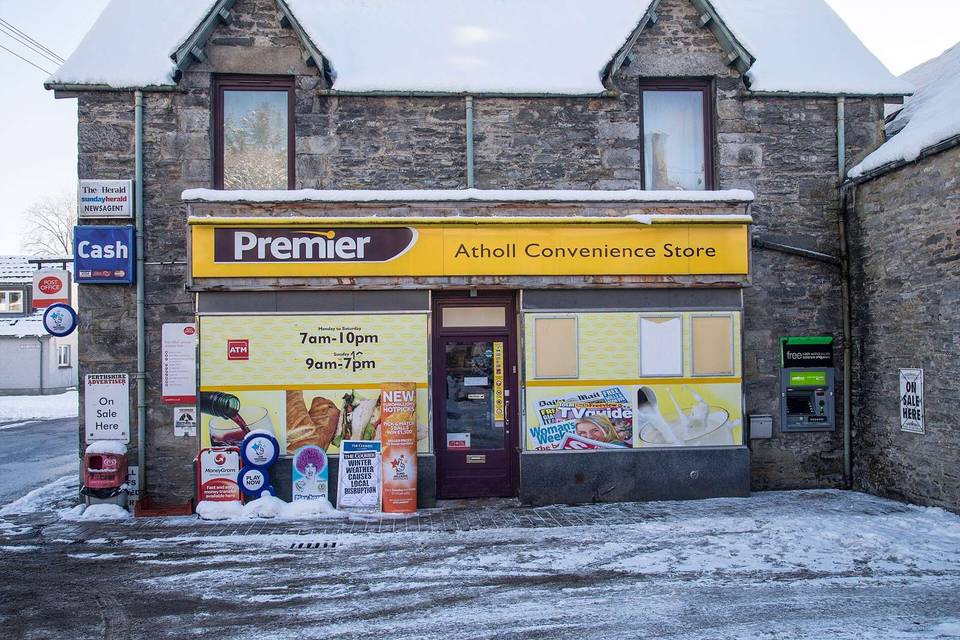
  3. 8.4 kmPremier · convenience store · 80 m off route
  4. 8.4 kmToilets · 120 m off route
  5. 15.4 kmRepair stand · 140 m off route
  6. 17.9 kmGrantown Service Station · petrol station · 190 m off route
  7. 18.1 kmCo-op Food · supermarket · 60 m off route
  8. 18.4 kmToilets · 50 m off route
  9. 18.7 kmIan Charles Hospital · hospital · 100 m off route
  10. 51.9 kmRepair stand · on the route
  11. 52.1 kmAberlour Pharmacy · pharmacy · 90 m off route
  12. 52.2 kmCo-op Food · supermarket · 140 m off route
  13. 55.4 kmThe Patch · café · on the route
  14. 59.6 kmIrene's Tearoom · café · 170 m off route
  15. 59.8 kmCostcutter · supermarket · 180 m off route
  16. 74.2 kmBoots · pharmacy · 280 m off route
  17. 75.3 kmLondis · convenience store · 70 m off route
  18. 75.3 kmPinefield Service Station · petrol station · 50 m off route

Need to bail out?

  • 0 kmBoat of Garten (station), 930 m off route
  • 10.2 kmBroomhill (station), 920 m off route
  • 75 kmElgin (station), 890 m off route

Whether bikes are carried depends on the service — check before relying on it.

Worth a stop

  • 3.2 kmRSPB Loch Garten (attraction)
  • 16.2 kmGrantown East (attraction)
  • 28.4 kmTom na Laimh (peak, 290 m)
  • 46.7 kmSun - Solar System Walk on the Speyside Way (attraction)
  • 53.6 kmAberlour House, Column (monument)
  • 59.8 kmRothes Castle (ruins)

At the start

  • Boat of Garten · station · 930 m

At the finish

  • Costa Drive Thru · café · 250 m
  • McDonald's · fast food · 270 m
  • KFC · fast food · 230 m
  • Harry Gow · bakery · 620 m
  • Londis · convenience store · 820 m

Stay after this ride

  • The Lodge Elgin · guest house · 1.5 km from the finish
  • Kilmorie House · guest house · 1.5 km from the finish
  • Laichmoray Hotel · hotel · 1.7 km from the finish
  • The Royal Hotel Elgin · hotel · 1.7 km from the finish
  • The milton · hotel · 1.8 km from the finish

Practical information

Surface
Mixed
Route shape
Point to point
Riding time
5 h 29 min
Best months
Jun to Aug — daily highs of 16–17 °C in those months

Know before you go

  • 33.9 km without café, shop or water from 18.1 to 52 km
  • 20.2 km on main roads without cycle lane
  • 19.6 km on roads with 80 km/h+ speed limit
  • 45% gravel or unpaved surface

Routes are for inspiration. Roads, surfaces and conditions change — check locally and ride within your limits.

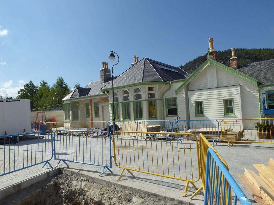
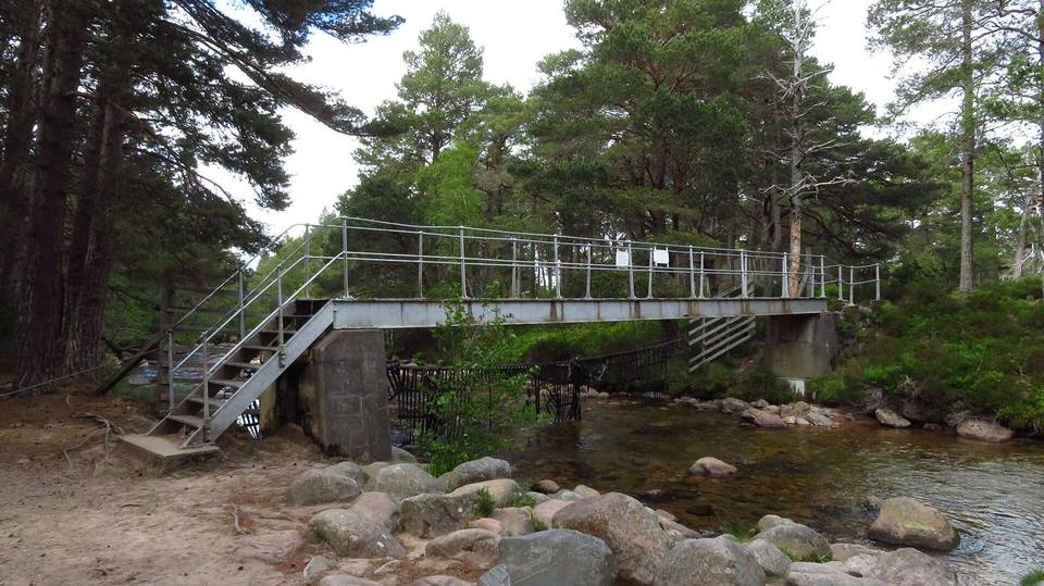
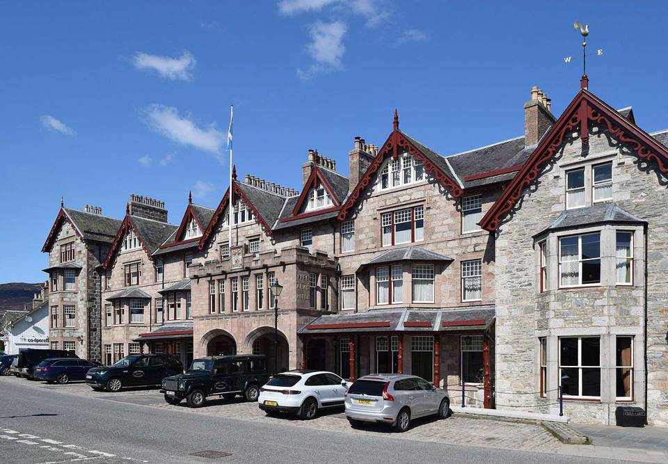
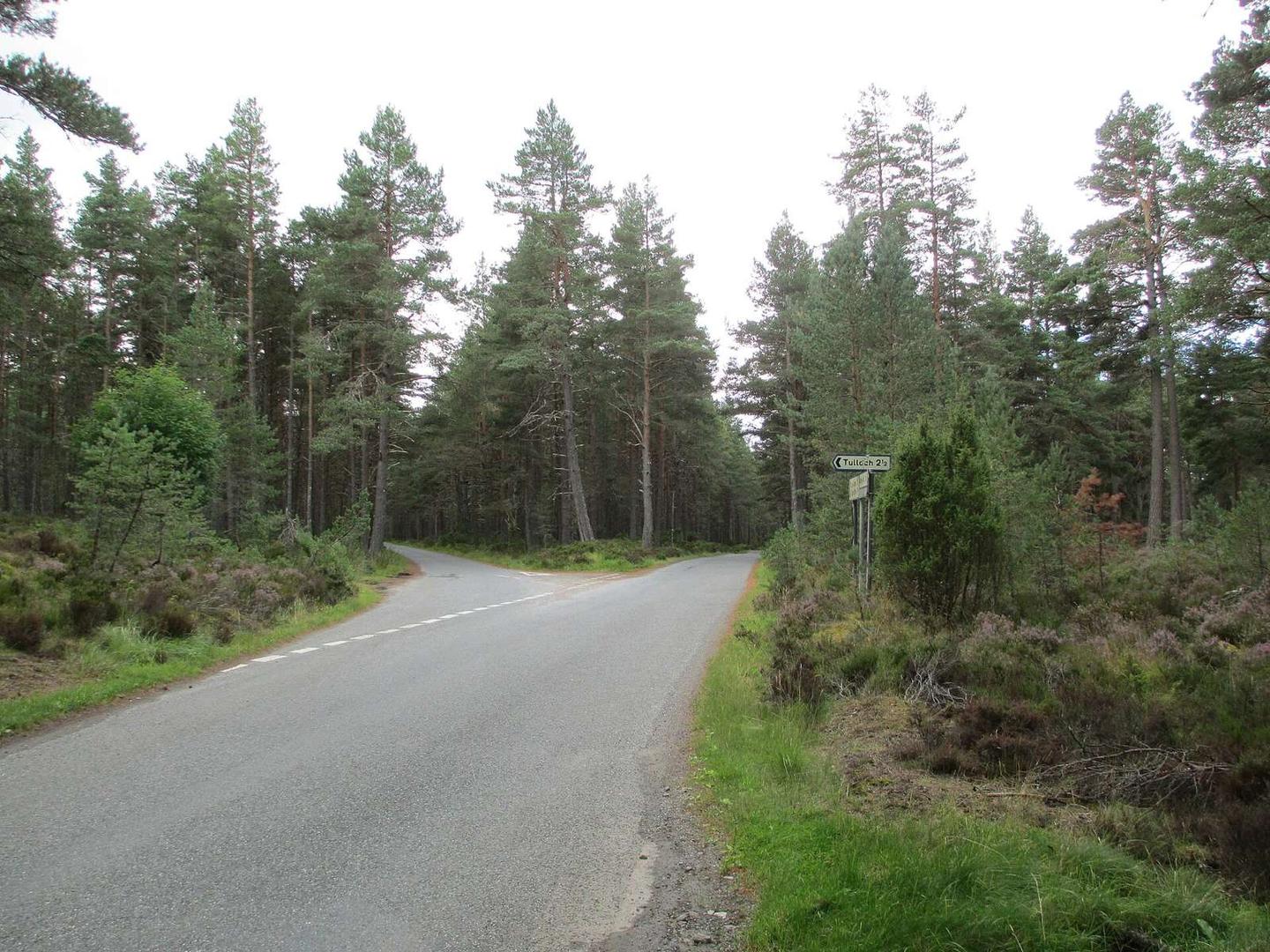
2 photographs from the road

Photo: Jennifer Jones · CC BY-SA 2.0 · Wikimedia Commons · Photo: Lucas Kendall · CC BY-SA 4.0 · Wikimedia Commons · Photo: Dave Kelly · CC BY-SA 2.0 · Wikimedia Commons