Cyclists.com

Kingussie to Tomintoul

Kingussie, Highland, United KingdomGravel

Signed route The waymarked Scotland Trail (regional route), traced from OpenStreetMap and measured against the terrain model; no member has recorded it yet. Stage 4 of 6 of the Scotland Trail. Ridden it? Add your recording and photos.

75 km
Distance
785 m
Elevation gain
Hard
Difficulty
Mixed
Surface
Download GPXMap

Elevation profile

Total ascent
785 m
Distance
75 km
0100200300400500m0 km20406075 km463 m · highest, at 65.6 kmStartFinish

Route overview

This ride suits cyclists looking for a medium distance route with moderate climbing and mixed surfaces.

Stage 4 of 6 of the Scotland Trail: 75.0 km from Kingussie to Tomintoul with 785 m of climbing, on the signed route.

The route starts in Kingussie at 0 m and heads northeast, passing Tromie Mills at 4.1 km. From Tromie Mills, a 3.3 km climb begins, gaining 100 m at up to 6.7% gradient, reaching 360 m elevation. The first half features a mix of tracks, minor roads, and paths, with 43% of the climbing done before halfway. After Achlean at 15.4 km, the route continues through 40.6 km Glenmore and on to Tomintoul at 72.6 km. The surface is mainly gravel or unpaved (71%) with 28% paved. The ride includes 41.9 km on tracks, 9.9 km minor roads, 9.4 km paths, and 9.1 km on main roads, all without cycle lanes. There are six climbs, with the last one near 62.2 km notable for a 4.9% average gradient, max 7.5%. There is a longest descent of 3.4 km from 48.4 km dropping 76 m. Along the route, riders will find cafés at Kingussie start, near 29.7 km and 40.6 km, with the last at Tomintoul finish. There is a longest stretch without café, shop or water for 32 km from 40.6 km to 72.6 km. Water taps are available at the start and near 40.6 km. The route passes near peaks such as Torr Alvie (358 m at 26.7 km), Ord Bàn (428 m at 29.4 km), and Greag nan Gall (622 m at 43.2 km).

Highlights

  • Climb from Tromie Mills to 360 m
  • Passes near Torr Alvie and Ord Bàn peaks
  • Longest descent 3.4 km dropping 76 m
  • Longest stretch 32 km without café or water after Glenmore

Along the route

Measured from the recorded track and OpenStreetMap.

Places passed

  1. Tromie Mills 4.1 km
  2. Achlean 15.4 km
  3. Glenmore 40.6 km
  4. Tomintoul 72.6 km

Climbs

ClimbStarts atLengthGainAverageMaxTop
4.1 km3.3 km100 m3.1 %6.7 %360 m
28 km2.2 km46 m2.1 %2.8 %274 m
33.3 km1.5 km42 m2.8 %4.1 %355 m
43.5 km1.8 km44 m2.4 %4 %406 m
50.5 km3.4 km100 m3 %4.8 %391 m
62.2 km1.5 km72 m4.9 %7.5 %463 m

High point 463 m at 63.6 km; low point 222 m. Passes beneath Torr Alvie, Ord Bàn, Greag nan Gall.

What this ride is like

Measured from OpenStreetMap along the track and the elevation profile.

Roads
58% track · 14% minor road · 13% path · 13% main road
Main roads
9.1 km on main roads without a cycle lane — likely busier
Fast roads
15.5 km on roads with a limit of 80 km/h or more
Main roads used
Achlean Road (7 km), B970 (7 km)
Surface
28% paved · 71% gravel or unpaved
Gradient
31% climbing · 20% descending · 49% flat
Steep sections
1.8 km over 5% · steepest 500 m averages 14.3% at 0 km
Longest descent
3.4 km from 48.4 km, dropping 76 m

Along the way

Within a few hundred metres of the track, from OpenStreetMap. Opening hours change — treat this as where to look, not a promise.

Longest stretch without a café, shop or water: 32 km, from 41 km to 73 km.

Food, water and shops

  1. 0 kmSugar Bowl · café · 160 m off route
  2. 0 kmCo-op Food · supermarket · 130 m off route
  3. 0 kmTop Up Tap · drinking water · on the route
  4. 0 kmToilets · 150 m off route
  5. 0 kmThe Spin Project · bike shop · 80 m off route
  6. 0 kmBoots · pharmacy · 120 m off route
  7. 29.7 kmcafe · café · 200 m off route
  8. 29.7 kmToilets · 210 m off route
  9. 40.6 kmAllt Mor Café · café · 110 m off route
  10. 40.6 kmDrinking water · 110 m off route
  11. 40.6 kmToilets · 170 m off route
  12. 72.6 kmThe Old Fire Station Tea Room · café · 80 m off route
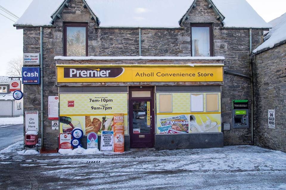
  13. 72.6 kmVillage Store and Post Office · convenience store · 50 m off route
  14. 72.6 kmToilets · 100 m off route
  15. 72.6 kmRepair stand · 100 m off route

Need to bail out?

  • 0.2 kmKingussie (station), 60 m off route

Whether bikes are carried depends on the service — check before relying on it.

Worth a stop

  • 40.6 kmCairngorm Reindeer Centre (attraction)
  • 70.9 kmThe Still (viewpoint)

At the start

  • Kingussie · station · 210 m
  • The Spin Project · bike shop · 80 m
  • Top Up Tap · drinking water · 10 m
  • Ghillies Rest · pub · 50 m
  • Sugar Bowl · café · 160 m

At the finish

  • The Old Fire Station Tea Room · café · 80 m
  • The Highland Market · café · 100 m
  • The Clockhouse Restaurant · restaurant · 50 m
  • Richmond Arms Hotel · pub · 60 m
  • The Glenavon · pub · 70 m

Stay after this ride

  • Richmond Arms Hotel · hotel · 60 m from the finish
  • Argyle House · guest house · 120 m from the finish
  • Livet House · guest house · 140 m from the finish
  • B&B · guest house · 270 m from the finish
  • The Smugglers Hostel · hostel · 320 m from the finish

Practical information

Surface
Mixed
Route shape
Point to point
Riding time
6 h 15 min
Best months
Jun to Aug — daily highs of 16–17 °C in those months

Know before you go

  • 32 km longest stretch without café, shop or water after 40.6 km
  • 9.1 km on main roads without cycle lane
  • 15.5 km on fast roads (80 km/h or more)
  • 71% of route on gravel or unpaved surfaces

Routes are for inspiration. Roads, surfaces and conditions change — check locally and ride within your limits.

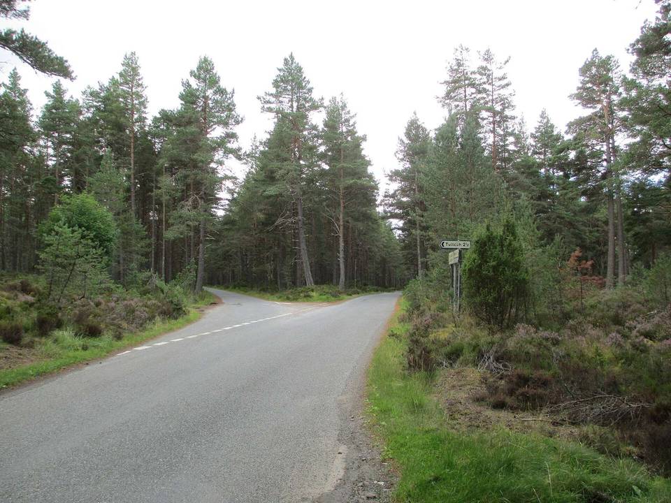
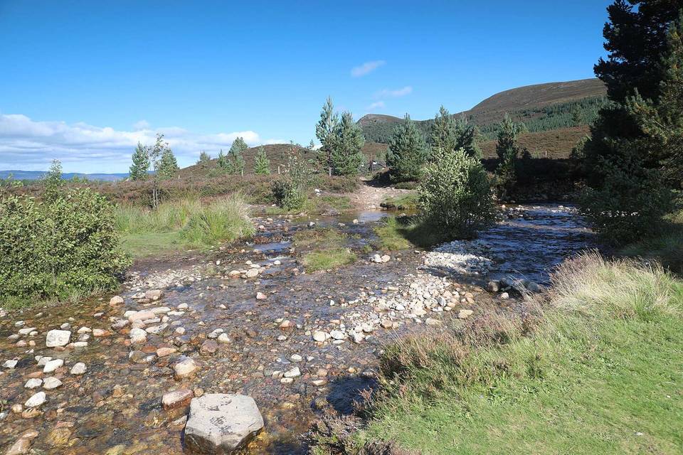
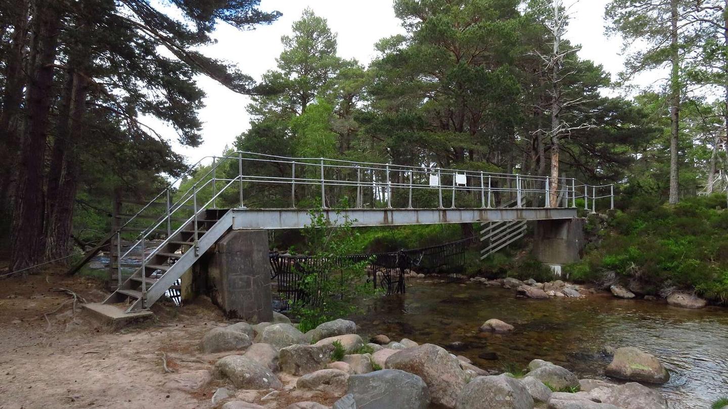
2 photographs from the road

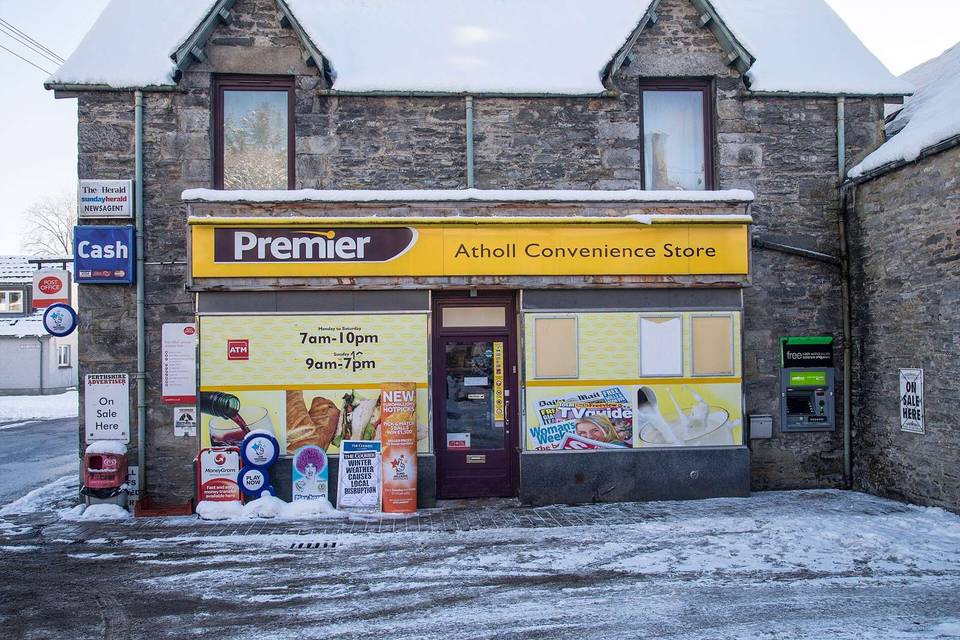
Photo: Colin Park · CC BY-SA 2.0 · Wikimedia Commons · Photo: Gordon Hatton · CC BY-SA 2.0 · Wikimedia Commons · Photo: Bill Boaden · CC BY-SA 2.0 · Wikimedia Commons

Stage of