Cyclists.com

Tomintoul to Ballater

Tomintoul, Moray, United KingdomGravel

Signed route The waymarked Scotland Trail (regional route), traced from OpenStreetMap and measured against the terrain model; no member has recorded it yet. Stage 5 of 6 of the Scotland Trail. Ridden it? Add your recording and photos.

55 km
Distance
529 m
Elevation gain
Moderate
Difficulty
Mixed
Surface
Download GPXMap

Elevation profile

Total ascent
529 m
Distance
55 km
0200400600800m0 km204055 km723 m · highest, at 23.6 kmStartFinish

Route overview

Suitable for cyclists prepared for mixed gravel and paved surfaces over 55 km with moderate climbing of 529 m.

Stage 5 of 6 of the Scotland Trail: 55.4 km from Tomintoul to Ballater with 529 m of climbing, on the signed route.

This route starts at Tomintoul and heads southeast for 55.4 km to finish in Ballater. It passes through Inver (37.3 km), Balnault (38.8 km), and Crathie (41.1 km), continuing past smaller places including Easter Balmoral and Knock. The elevation ranges from 201 m at the end to 721 m near km 23.5, with the first half containing 53% of the climbing. The ride features two climbs: a 2.6 km climb from 14.1 km rising 69 m at 2.7% average gradient, followed by a more sustained 3.9 km climb starting at 19.5 km, gaining 247 m at 6.3% average with a maximum of 11.4%. Maximum elevation is 721 m up near 23.5 km. The surface is mixed, with about 47% paved and 52% gravel or unpaved; 59% of the route follows tracks, 30% on main roads including 12.8 km on the B976 and 3.4 km on the A93. Main roads lack dedicated cycle lanes along the full 16.3 km. The longest descent is 3.4 km dropping 237 m, starting near 23.7 km. Facilities include cafés, restaurants, and shops at the start in Tomintoul and the finish in Ballater. However, the middle 40 km stretch between 0.1 and 40.1 km lacks cafés, shops or water, so riders should prepare accordingly. Notable places beside the route include the Queen Victoria viewpoint near 1.8 km, and castles such as Invercauld House (30.3 km) and Abergeldie Castle (44.6 km). Water is available near the finish at Ballater, alongside bike shops and several toilets.

Highlights

  • Climbs reaching 721 m elevation
  • Longest descent 3.4 km dropping 237 m
  • Queen Victoria viewpoint near 2 km
  • Castles at Invercauld and Abergeldie

Along the route

Measured from the recorded track and OpenStreetMap.

Places passed

  1. Inver 37.3 km
  2. Balnault 38.8 km
  3. Tynabaich 39.7 km
  4. Crathie 41.1 km
  5. Easter Balmoral 42 km
  6. Mains of Abergeldie 44.6 km
  7. Knock 51.7 km
  8. Ardmeanach 51.8 km
  9. Milton of Brackley 52.8 km
  10. Bridge of Muick 53.1 km

Climbs

ClimbStarts atLengthGainAverageMaxTop
14.1 km2.6 km69 m2.7 %5.3 %483 m
19.5 km3.9 km247 m6.3 %11.4 %721 m

High point 721 m at 23.5 km; low point 201 m. Passes beneath Tom na Bat, Rèidh Dorcha, Sron nam Fiann.

What this ride is like

Measured from OpenStreetMap along the track and the elevation profile.

Roads
59% track · 30% main road · 5% minor road · 4% path
Main roads
16.3 km on main roads without a cycle lane — likely busier
Fast roads
3.3 km on roads with a limit of 80 km/h or more
Main roads used
B976 (13 km), A93 (3 km)
Surface
47% paved · 52% gravel or unpaved
Gradient
21% climbing · 24% descending · 56% flat
Steep sections
2.7 km over 5% · 1.6 km over 8% · 0.9 km over 10% · steepest 500 m averages 23.8% at 0 km
Longest descent
3.4 km from 23.7 km, dropping 237 m

Along the way

Within a few hundred metres of the track, from OpenStreetMap. Opening hours change — treat this as where to look, not a promise.

Longest stretch without a café, shop or water: 40 km, from 0 km to 40 km.

Food, water and shops

  1. 0 kmVillage Store and Post Office · convenience store · 50 m off route
  2. 0.1 kmThe Highland Market · café · on the route
  3. 0.1 kmToilets · 90 m off route
  4. 0.1 kmRepair stand · on the route
  5. 31.9 kmToilets · 160 m off route
  6. 40.1 kmBalmoral Gift shop and Cafe · restaurant · 210 m off route
  7. 40.1 kmToilets · 190 m off route
  8. 53.9 kmToilets · 110 m off route
  9. 54.2 kmRiverside Garage · petrol station · 290 m off route
  10. 54.2 kmDavidsons Chemists · pharmacy · 200 m off route
  11. 54.7 kmOrka Artisa Cafe & Bistro · café · 100 m off route
  12. 54.7 kmCo-op Food · supermarket · 140 m off route
  13. 54.7 kmTop Up Tap · drinking water · 130 m off route
  14. 54.7 kmBike Station Ballater · bike shop · 70 m off route

Worth a stop

  • 1.8 kmThe Queen Victoria viewpoint (viewpoint)
  • 16.8 kmCrannog (archaeological site)
  • 30.3 kmInvercauld House (castle)
  • 44.6 kmAbergeldie Castle (castle)
  • 52.3 kmScurriestone (archaeological site)

At the start

  • The Old Fire Station Tea Room · café · 80 m
  • The Highland Market · café · 100 m
  • Richmond Arms Hotel · pub · 60 m
  • The Clockhouse Restaurant · restaurant · 50 m
  • The Glenavon · pub · 70 m

At the finish

  • Orka Artisa Cafe & Bistro · café · 100 m
  • Bike Station Ballater · bike shop · 70 m
  • The Bothy Ballater · café · 120 m
  • Rothesay Rooms · restaurant · 20 m
  • Co-op Food · supermarket · 140 m

Stay after this ride

  • The Gordon Guest House · guest house · 70 m from the finish
  • Netherly House · guest house · 80 m from the finish
  • Celicall Guesthouse · guest house · 110 m from the finish
  • The Monaltrie · hotel · 350 m from the finish
  • Glenaden Hotel · hotel · 210 m from the finish

Practical information

Surface
Mixed
Route shape
Point to point
Riding time
4 h 37 min
Best months
Jul to Aug — daily highs of 16–17 °C in those months

Know before you go

  • Longest 40 km without café, shop or water (0.1 to 40.1 km)
  • 16.3 km on main roads with no cycle lane
  • 3.3 km on roads with 80 km/h+ speed limit
  • Steepest sustained gradient 11.4% over 3.9 km

Routes are for inspiration. Roads, surfaces and conditions change — check locally and ride within your limits.

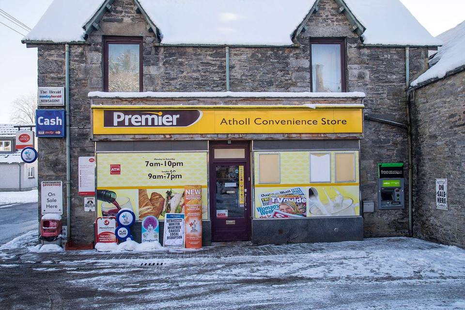
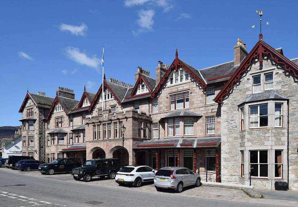
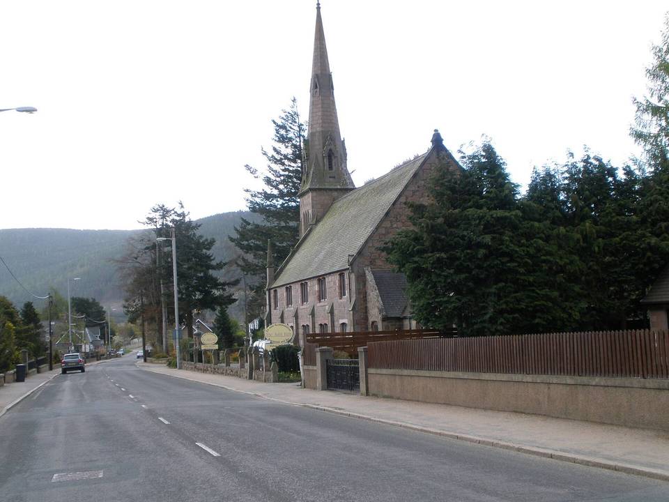
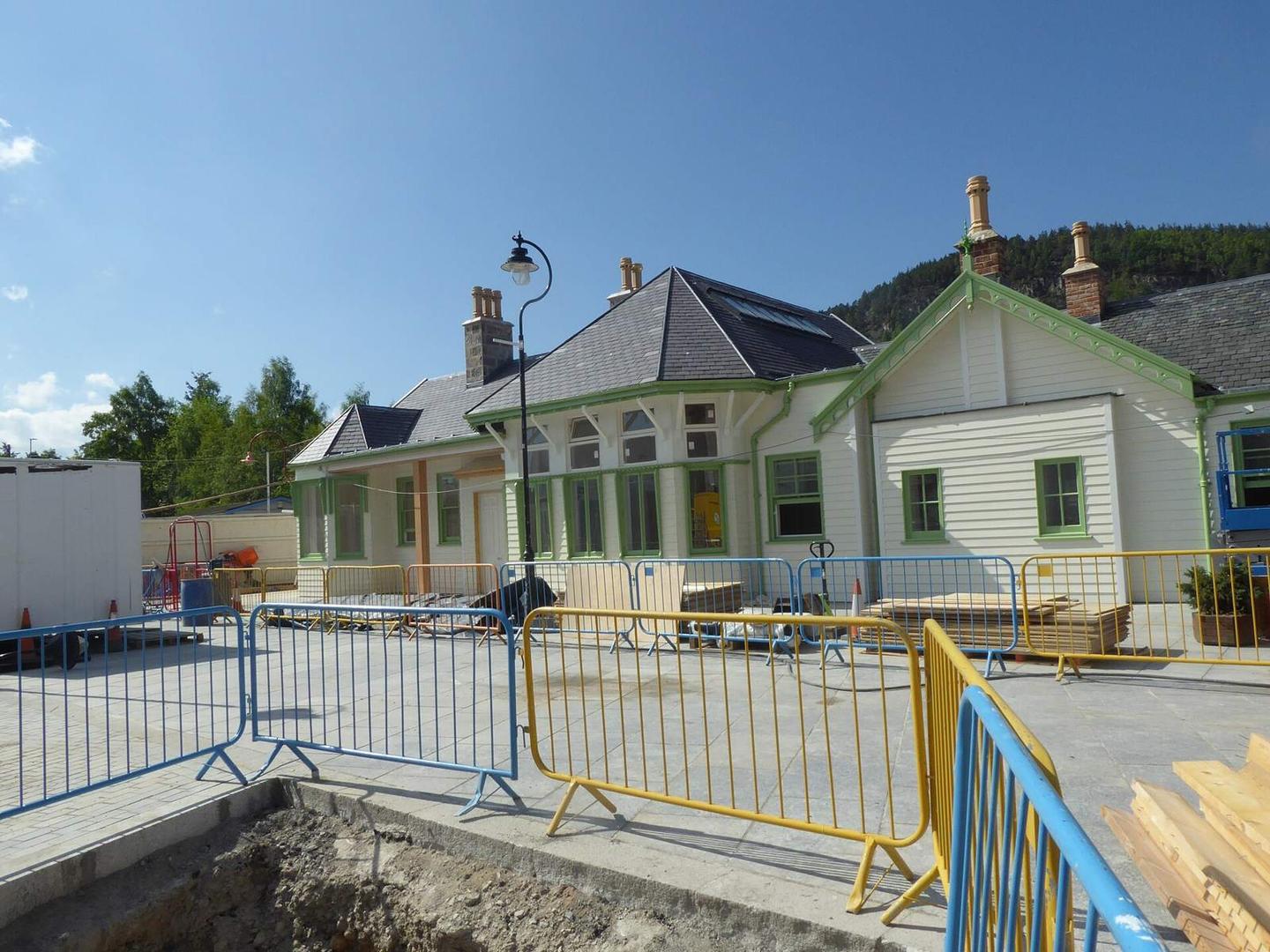
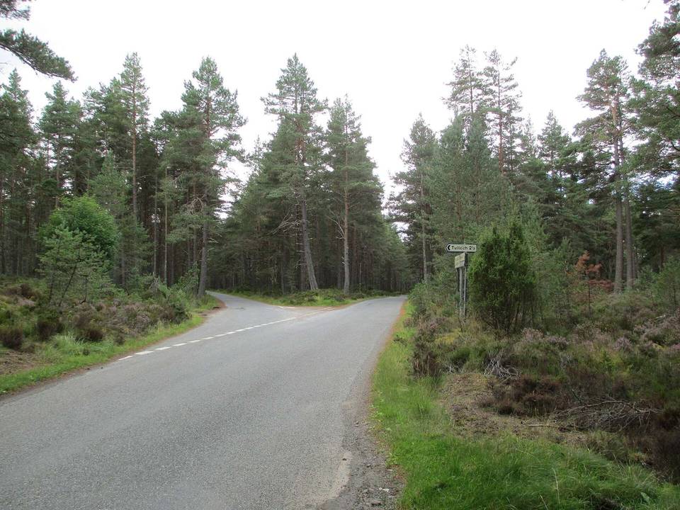
2 photographs from the road

Photo: Stanley Howe · CC BY-SA 2.0 · Wikimedia Commons · Photo: Gordon Hatton · CC BY-SA 2.0 · Wikimedia Commons · Photo: Richard Webb · CC BY-SA 2.0 · Wikimedia Commons

Stage of