
Cyclists.com

Inverness to Tain

Inverness, Highland, United KingdomRoad

Signed route The waymarked EuroVelo 12 from Inverness (EuroVelo EV12), traced from OpenStreetMap and measured against the terrain model; no member has recorded it yet. Stage 1 of 3 of the EuroVelo 12 from Inverness. Ridden it? Add your recording and photos.

60 km
Distance
446 m
Elevation gain
Moderate
Difficulty
Paved
Surface
Download GPXMap

Elevation profile

Total ascent
446 m
Distance
60 km
050100150200m0 km204060 km148 m · highest, at 15.3 kmStartFinish

Route overview

Suitable for riders prepared for moderate distance and steady climbs of up to 3.6% average gradient.

Stage 1 of 3 of the EuroVelo 12 from Inverness: 60.4 km from Inverness to Tain with 446 m of climbing, on the signed route.

The route starts at Inverness and runs northeast to Tain, passing several settlements including Merkinch, North Kessock, Tore, Conon Bridge, Dingwall, Evanton, and Alness. The road surface is mostly paved (98%) with a variety of road classes: 65% on minor roads, 19% on cycle paths, plus short sections on quiet streets, main, and major roads. The longest stretch on named roads is Scotsburn Road for 5 km. There are 5.4 km on main roads without cycle lanes. The route climbs 446 m in total, with two main ascents: a 2.2 km climb starting at km 12.9 averaging 2.4% to 148 m, and a 2.9 km climb beginning at km 23.4 averaging 3.6% to 109 m. The highest point is 148 m at 15.1 km, and the lowest 1 m at 3.8 km. The profile is mostly flat (58%) with 22% climbing and 20% descending. Facilities include cafés and shops near the start in Inverness, then cafes at 4.7 km, 22.9 km, 33.1 km, 39.5 km, and a bakery at the finish in Tain. The longest stretch without café, shop, or water is 20 km from 39.5 km to 59.5 km. Water points are available near km 0, 10.9, and 26.6. There are railway stations at Inverness (0.2 km), Dingwall (22.7 km), Alness (39.5 km), and Tain (59.7 km). Several petrol stations and bike shops are accessible near the route. Toilets are found at Inverness, 4.9 km, 22.7 km, and near Tain. The longest descent is 5 km starting at 55.3 km with a drop of 102 m.

Highlights

  • Climb to 148 m at km 15
  • Longest named road: Scotsburn Road, 5 km
  • Railway stations at Inverness, Dingwall, Alness, Tain
  • 20 km stretch without café, shop or water after Alness

Along the route

Measured from the recorded track and OpenStreetMap.

Places passed

  1. Craigton 4.3 km
  2. North Kessock 4.6 km
  3. Charleston 5.9 km
  4. Redfield 10.3 km
  5. Tore 12.2 km
  6. Conon Bridge 19.2 km
  7. Maryburgh 20.5 km
  8. Pitglassie 21.9 km
  9. Dingwall 23 km
  10. Evanton 33.1 km
  11. Alness 39.5 km
  12. Balnaguisich 42.2 km
  13. Scotsburn 50.3 km
  14. Lamington 52.8 km

Climbs

ClimbStarts atLengthGainAverageMaxTop
12.9 km2.2 km53 m2.4 %3.3 %148 m
23.4 km2.9 km104 m3.6 %5.7 %109 m

High point 148 m at 15.1 km; low point 1 m.

What this ride is like

Measured from OpenStreetMap along the track and the elevation profile.

Roads
65% minor road · 19% cycle path · 5% quiet street · 5% main road
Main roads
5.4 km on main roads without a cycle lane — likely busier
Fast roads
33.7 km on roads with a limit of 80 km/h or more
Cycle paths
11.5 km on cycle paths or roads with a cycle lane
Main roads used
Scotsburn Road (5 km)
Surface
Paved throughout
Gradient
22% climbing · 20% descending · 58% flat
Longest descent
5 km from 55.3 km, dropping 102 m

Along the way

Within a few hundred metres of the track, from OpenStreetMap. Opening hours change — treat this as where to look, not a promise.

Longest stretch without a café, shop or water: 20 km, from 40 km to 60 km.

Food, water and shops

  1. 0 kmTop Up Tap · drinking water · 240 m off route
  2. 0 kmSuperdrug · pharmacy · 160 m off route
  3. 0.2 kmCo-op Food · supermarket · 80 m off route
  4. 0.2 kmToilets · 130 m off route
  5. 4.7 kmWhite Cottage Cafe · café · 50 m off route
  6. 10.9 kmDrinking water · on the route
  7. 12 kmTore Service Station · petrol station · 70 m off route
  8. 22.9 kmCustallo Coffee Shop · café · on the route
  9. 22.9 kmDingwall Pharmacy · pharmacy · on the route
  10. 23.1 kmDryburgh Cycles · bike shop · 30 m off route
  11. 26.6 kmWater point · on the route
  12. 33.1 kmCornerstone · café · on the route
  13. 36.1 kmSkiach Services · petrol station · 140 m off route
  14. 39.4 kmAlness Pharmacy · pharmacy · on the route
  15. 39.5 kmCo-op Food · supermarket · 120 m off route
  16. 59.6 kmToilets · 30 m off route
  17. 59.7 kmHarry Gow Bakery · bakery · on the route
  18. 59.7 kmTesco · petrol station · 280 m off route

Need to bail out?

  • 0.2 kmInverness (station), 370 m off route
  • 22.7 kmDingwall (station), 70 m off route
  • 39.5 kmAlness (station), 440 m off route
  • 59.7 kmTain (station), 330 m off route

Whether bikes are carried depends on the service — check before relying on it.

Worth a stop

  • 0 kmInverness Castle (castle)
  • 4.9 kmThe Old Ticket Office (attraction)
  • 23.1 kmDingwall Thing Site (archaeological site)
  • 38.2 kmAlness Old Parish Church (ruin) (ruins)
  • 49.3 kmScotsburn House, Broch (archaeological site)
  • 59.7 kmMercat Cross (monument)

At the start

  • Xoko Bakehouse and Coffee Bar · café · 50 m
  • Rendezvous Cafe · café · 120 m
  • O'Délice · patisserie · 140 m
  • Johnny Foxes · pub · 30 m
  • Zizzi · restaurant · 30 m

At the finish

  • Harry Gow Bakery · bakery · 40 m
  • William Grant Bakery · bakery · 20 m
  • Well Pharmacy · pharmacy · 60 m
  • Pipers Coffee House · café · 190 m
  • Greens Restaurant · restaurant · 20 m

Stay after this ride

  • The Royal Hotel Tain · hotel · 30 m from the finish
  • St. Duthus Hotel · hotel · 170 m from the finish
  • Mansfield Castle Hotel · hotel · 620 m from the finish
  • Heatherdale · guest house · 410 m from the finish
  • The Springfield Guest House · guest house · 630 m from the finish

Practical information

Surface
Paved
Route shape
Point to point
Riding time
4 h 19 min
Best months
Jun to Aug — daily highs of 17–18 °C in those months

Know before you go

  • 20 km longest stretch without café, shop or water from 39.5 km
  • 5.4 km on main roads without cycle lanes
  • 33.7 km on roads with speed limits of 80 km/h or more
  • 0.6 km gravel or unpaved

Routes are for inspiration. Roads, surfaces and conditions change — check locally and ride within your limits.

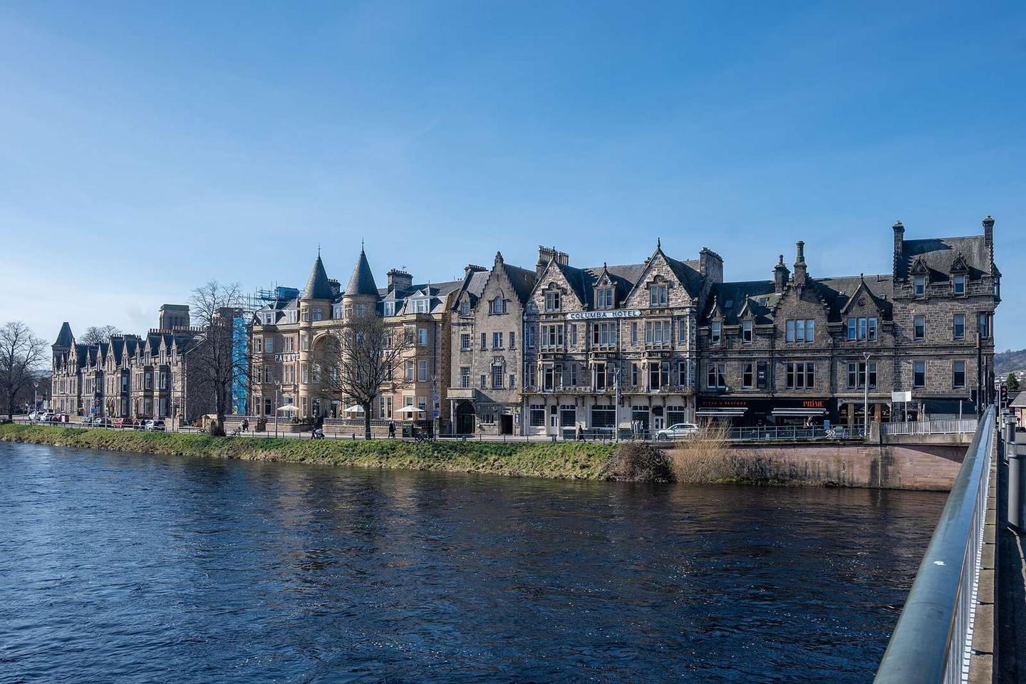
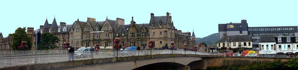
2 photographs from the road

Photo: Lucas Kendall · CC BY-SA 4.0 · Wikimedia Commons · Photo: James Emmans · CC BY-SA 2.0 · Wikimedia Commons · Photo: Chris Heaton · CC BY-SA 2.0 · Wikimedia Commons

Stage of

More rides from Inverness