
Cyclists.com

Inverness to Nigg

Inverness, Highland, United KingdomRoad

Signed route The waymarked National Cycle Route 1: Dundee to Tain (part) (Walk Wheel Cycle Trust), traced from OpenStreetMap and measured against the terrain model; no member has recorded it yet. Stage 2 of 3 of the National Cycle Route 1: Dundee to Tain (part). Ridden it? Add your recording and photos.

45 km
Distance
379 m
Elevation gain
Moderate
Difficulty
Paved
Surface
Download GPXMap

Elevation profile

Total ascent
379 m
Distance
45 km
050100150200250m0 km1020304045 km218 m · highest, at 32.8 kmStartFinish

Route overview

Suitable for riders prepared for moderate climbing over a medium distance of 44.5 km.

Stage 2 of 3 of the National Cycle Route 1: Dundee to Tain (part): 44.5 km from Inverness to Nigg with 379 m of climbing, on the signed route.

The ride starts at Inverness, passing through Crown, Haugh, Merkinch, Longman, South Kessock, Craigton and North Kessock before reaching Charleston. It continues through Munlochy, Killen, Navity, and ends near Cromarty. The route is mainly on minor roads for 30.2 km (68%), with 7.5 km on main roads and 2.3 km on cycle paths. Almost all the surface is paved (95%) with just 1% gravel or unpaved. The route has three climbs: first from km 5.1 over 2.5 km gaining 50 m (average 2%, max 3%); second from km 13.9 over 2.9 km gaining 66 m; and third from km 28.2 over 4.5 km gaining 138 m, the highest point at 218 m near km 32.6.

Highlights

  • Three climbs peaking at 218 m
  • Starts at Inverness, passes through Munlochy and Charleston
  • Longest descent 3.2 km dropping 110 m near Cromarty
  • Perk café and Co-op at start in Inverness

Along the route

Measured from the recorded track and OpenStreetMap.

Places passed

  1. Craigton 4.2 km
  2. North Kessock 4.5 km
  3. Charleston 5.9 km
  4. Munlochy 14.2 km
  5. Killen 21.4 km
  6. Navity 37.5 km
  7. Cromarty 40.6 km

Climbs

ClimbStarts atLengthGainAverageMaxTop
5.1 km2.5 km50 m2 %3 %58 m
13.9 km2.9 km66 m2.3 %3.5 %78 m
28.2 km4.5 km138 m3.1 %5.5 %218 m

High point 218 m at 32.6 km; low point 0 m.

What this ride is like

Measured from OpenStreetMap along the track and the elevation profile.

Roads
68% minor road · 17% main road · 5% cycle path · 4% quiet street · 3% unmapped
Main roads
7.6 km on main roads without a cycle lane — likely busier
Fast roads
31.3 km on roads with a limit of 80 km/h or more
Cycle paths
2.6 km on cycle paths or roads with a cycle lane
Surface
Paved throughout
Gradient
24% climbing · 22% descending · 55% flat
Longest descent
3.2 km from 37.9 km, dropping 110 m

Along the way

Within a few hundred metres of the track, from OpenStreetMap. Opening hours change — treat this as where to look, not a promise.

Longest stretch without a café, shop or water: 26 km, from 15 km to 40 km.

Food, water and shops

  1. 0 kmPerk · café · 90 m off route
  2. 0 kmCo-op Food · supermarket · 80 m off route
  3. 0 kmToilets · 130 m off route
  4. 0 kmSuperdrug · pharmacy · 220 m off route
  5. 0.8 kmHighland Bikes · bike shop · 30 m off route
  6. 4.6 kmWhite Cottage Cafe · café · 50 m off route
  7. 4.8 kmToilets · on the route
  8. 14.1 kmAllangrange Arms · pub · on the route
  9. 14.2 kmScotmid · convenience store · 50 m off route
  10. 14.7 kmFraser's Garage · petrol station · 50 m off route
  11. 40.7 kmCromarty Stores · convenience store · 90 m off route
  12. 40.7 kmAllan Square Public Toilets · toilets · on the route
  13. 40.8 kmSutor Creek Cafe · café · on the route

Need to bail out?

  • 0.1 kmInverness (station), 370 m off route
  • 42.4 kmNigg pier (ferry), 30 m off route

Whether bikes are carried depends on the service — check before relying on it.

Worth a stop

  • 4.8 kmThe Old Ticket Office (attraction)
  • 11.1 kmBlack Isle Brewery (attraction)
  • 40.3 kmOld Gaelic Church (ruins)

At the start

  • Perk · café · 90 m
  • Co-op Food · supermarket · 80 m
  • O'Délice · patisserie · 120 m
  • Rendezvous Cafe · café · 130 m
  • The Mustard Seed · restaurant · 60 m

Stay after this ride

  • The Royal Hotel · hotel · 2.9 km from the finish
  • The Factor's House · hotel · 3.4 km from the finish

Practical information

Surface
Paved
Route shape
Point to point
Riding time
3 h 11 min
Best months
Jun to Aug — daily highs of 17–18 °C in those months

Know before you go

  • 25.6 km without café, shop or water from km 14.7 to 40.3
  • 7.6 km on main roads without cycle lane
  • 31.3 km on roads with 80 km/h speed limit
  • 0.3 km of gradient above 5%

Routes are for inspiration. Roads, surfaces and conditions change — check locally and ride within your limits.

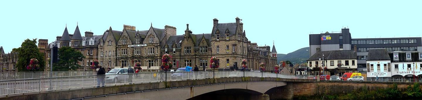
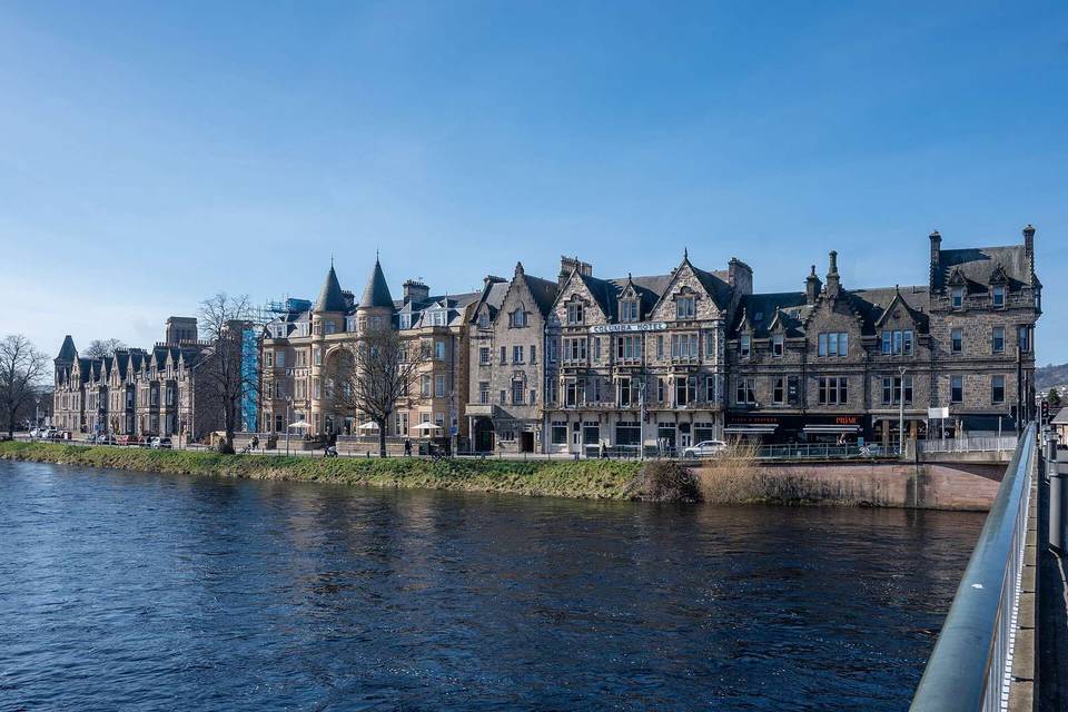
2 photographs from the road

Photo: giggel · CC BY 3.0 · Wikimedia Commons · Photo: Peter Moore · CC BY-SA 2.0 · Wikimedia Commons · Photo: Julian Paren · CC BY-SA 2.0 · Wikimedia Commons

Stage of

More rides from Inverness