
National Cycle Route 1: Dundee to Tain (part) by Bike
Cycle from Portgordon to Evanton over 3 stages covering 198 km and 1,116 m of climbing in the UK. Every stage has a map, elevation profile, road facts and a GPX file.
The tour, day by day
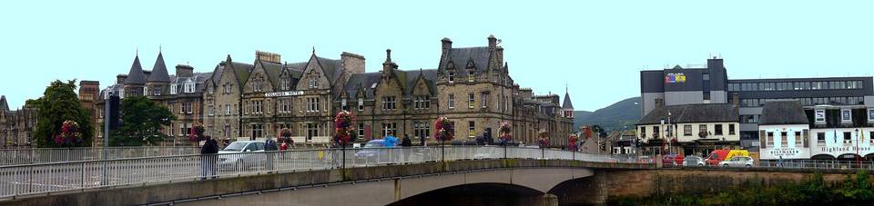
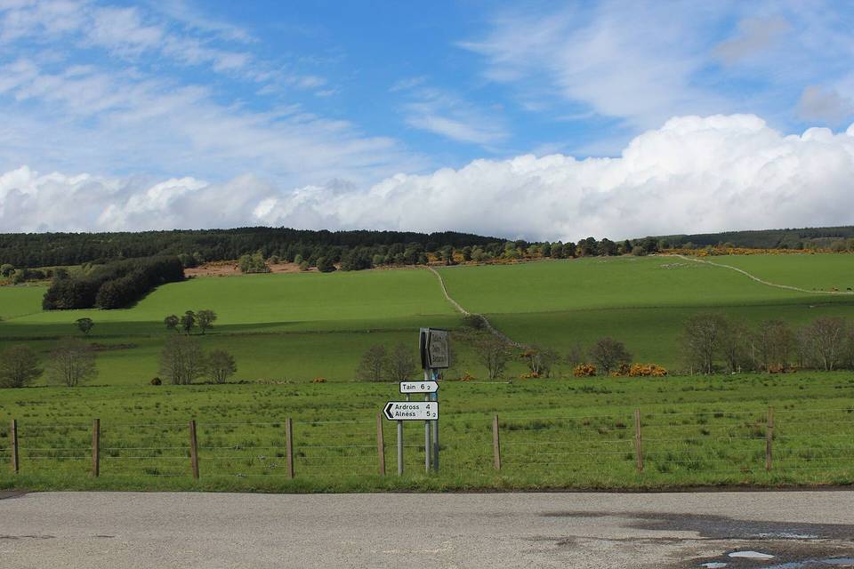
Route at a glance
- Distance
- 198 km
- Climbing
- 1,116 m
- Stages
- 3
- Countries
- 1
- Average stage
- 66 km
- Longest stage
- 106.2 km
- Most climbing
- 540 m
- Riding time
- ~14 h
- Surface
- Paved
- Bike
- Road bike
- Best months
- May to Sep
- GPX
- Every stage + whole tour
- Start
- Portgordon
- Finish
- Evanton
Full route map
Itinerary: 3 stages
Average 66 km and 372 m a stage. Longest day: stage 1 (106.2 km). Most climbing: stage 1 (540 m). Shortest: stage 2 (44.5 km).
| Stage | Route | Country | Distance | Climbing | Surface | Difficulty | Time | GPX |
|---|---|---|---|---|---|---|---|---|
| 1 | Portgordon to Inverness | UK | 106.2 km | 540 m | Paved | Hard | 7 h 35 min | GPX |
| 2 | Inverness to Nigg | UK | 44.5 km | 379 m | Paved | Moderate | 3 h 11 min | GPX |
| Transfer · Nigg ferry crossing — not ridden, not counted in the distance | ||||||||
| 3 | Nigg to Evanton | UK | 47.6 km | 197 m | Paved | Moderate | 3 h 24 min | GPX |
How difficult is this tour?
198 km and 1,116 m of climbing over 3 stages: 66 km and 372 m a stage on average.
The longest day is stage 1, Portgordon to Inverness (106.2 km); the most climbing is on stage 1, Portgordon to Inverness (540 m); the shortest is stage 2, Inverness to Nigg (44.5 km).
At 66 km a day on average, it suits riders used to back-to-back days of 50–90 km.
Riders can go faster or slower than the documented itinerary: the same 198 km is 4 riding days at 60 km a day, 3 riding days at 80 km a day and 2 riding days at 100 km a day.
Surface and traffic
Paved: 97% of the route is mapped as paved, 1% as unpaved and 2% has no surface data.
21 km (11%) is on cycle paths or roads with a cycle lane; 11 km (6%) is on main roads without one, and 89 km on roads with a limit of 80 km/h or more.
The longest stretch without a café, shop or water is 26 km, on stage 2.
Signed routes this tour follows
- National Cycle Route 1: Dundee to Tain (part) - stages 1, 2, 3
Best time to ride
From ten years of weather at the stage towns, May to Sep are good for riding along the whole route.
Logistics
- Nigg ferry crossing after stage 2 - not ridden, and not counted in the distance.
- 3 of 3 stage finishes have a hotel, guesthouse or campsite mapped within a short ride of the finish.
- The longest stretch without a café, shop or water on any stage is 26 km, on stage 2.
What it was actually like to ride
About this tour
This cycle route follows National Cycle Route 1 from Portgordon to Evanton in three stages, covering a total distance of 198 km with 1116 m of climbing. The route runs entirely within Great Britain and passes through numerous towns and villages.
The first stage from Portgordon to Inverness stretches 106.2 km with 540 m of ascent. It includes three notable climbs: one at 24.4 km with 47 m ascent averaging 3.8% gradient, a second at 72 km gaining 67 m also at 3.8%, and a third at 90.2 km with 45 m at 2.8%. The highest elevation on this stage is 177 m. You will pass through many places including Elgin, Forres and Nairn.
The second stage is shorter at 44.5 km but a bit hillier, ascending 379 m. It features three climbs: a 2.5 km climb starting at 5.1 km gaining 50 m at 2%, another 2.9 km climb starting at 13.9 km with 66 m at 2.3%, and the longest climb at 28.2 km lasting 4.5 km with 138 m gained at 3.1%. The highest point here is 218 m. This stage goes from Inverness to Nigg.
The final stage from Nigg to Evanton covers 47.6 km with 197 m climbing. It has one climb starting at 20.3 km, extending 2.6 km and gaining 56 m at 2.2% gradient. The highest elevation on this stage is 123 m. Stops along the way include Tain and Alness. You will find a number of water or food stops on each stage, from 9 to 39.
There is no temperature or seasonal data provided. No information about any gaps without food or water facilities is given beyond the number of stops on each stage. The route climbs smoothly with modest gradients and offers a mixture of moderate lengths, suitable for a multi-day tour.
Questions riders ask
How far is Portgordon to Evanton by bike?
198 km along this route, in 3 stages averaging 66 km.
How long does it take to cycle from Portgordon to Evanton?
Moving time is estimated at about 14 hours. At 60 km a day it is 4 days, 80 km a day it is 3 days and 100 km a day it is 2 days.
How much climbing is involved?
1,116 m in total. The most climbing in a day is 540 m on stage 1, Portgordon to Inverness.
How difficult is the route?
At 66 km a day on average, it suits riders used to back-to-back days of 50–90 km. The longest day is 106.2 km.
Is it suitable for a road bike?
97% of the route is mapped as paved and 1% as gravel or unpaved (2% has no surface data). Based on that: road bike.
Is there a GPX file?
Yes. Every stage has its own GPX download, and the whole tour is available as one GPX file with a track per stage.
What is the best time of year?
From ten years of weather at the stage towns, May to Sep are good for riding along the whole route.