Cyclists.com

Nigg to Evanton

Nigg, Highland, United KingdomRoad

Signed route The waymarked National Cycle Route 1: Dundee to Tain (part) (Walk Wheel Cycle Trust), traced from OpenStreetMap and measured against the terrain model; no member has recorded it yet. Stage 3 of 3 of the National Cycle Route 1: Dundee to Tain (part). Ridden it? Add your recording and photos.

48 km
Distance
197 m
Elevation gain
Moderate
Difficulty
Paved
Surface
Download GPXMap

Elevation profile

Total ascent
197 m
Distance
48 km
0255075100125150m0 km1020304048 km124 m · highest, at 26.4 kmStartFinish

Route overview

Suitable for riders looking for a moderate distance with gentle climbing.

Stage 3 of 3 of the National Cycle Route 1: Dundee to Tain (part): 47.6 km from Nigg to Evanton with 197 m of climbing, on the signed route.

Starting near Nigg at 0.9 km, the route passes through Shandwick, Balintore, Hilton of Cadboll, Clashnamuiach, then Tain at 21.4 km where a 2.6 km climb begins, gaining 56 m at an average gradient of 2.2%. The highest point is at 26.3 km at 123 m elevation. The path continues through Lamington, Scotsburn on Scotsburn Road (5.2 km), Balnaguisich, Alness, and finishes at Evanton (47.4 km). The road surface is fully paved, mainly on minor roads (85%) with some cycle path (9%), quiet streets (3%) and a short stretch of main road (3%). There is a longest continuous stretch of almost 20 km without a café, shop or water from 21.5 km to 41.4 km. Food and drink stops include the Balintore Inn pub near 8.7 km, cafés at Tain (21.4 km), Alness (41.4 km), and at the finish in Evanton. Shops are available in these towns as well. Bailout points with railway stations exist at Tain (21.4 km) and Alness (41.4 km).

Highlights

  • 2.6 km climb near Tain
  • Highest point 123 m at 26.3 km
  • Scotsburn Road 5.2 km stretch
  • Longest stretch without café or shop 19.9 km

Along the route

Measured from the recorded track and OpenStreetMap.

Places passed

  1. Shandwick 7.7 km
  2. Balintore 8.3 km
  3. Hilton of Cadboll 9.5 km
  4. Clashnamuiach 11 km
  5. Tain 21.4 km
  6. Lamington 28.4 km
  7. Scotsburn 30.6 km
  8. Balnaguisich 38.7 km
  9. Alness 41.4 km

Climbs

ClimbStarts atLengthGainAverageMaxTop
20.3 km2.6 km56 m2.2 %3.1 %63 m

High point 123 m at 26.3 km; low point 5 m.

What this ride is like

Measured from OpenStreetMap along the track and the elevation profile.

Roads
85% minor road · 9% cycle path · 3% quiet street · 3% main road
Main roads
1.5 km on main roads without a cycle lane — likely busier
Fast roads
22 km on roads with a limit of 80 km/h or more
Cycle paths
4.1 km on cycle paths or roads with a cycle lane
Main roads used
Scotsburn Road (5 km)
Surface
Paved throughout
Gradient
11% climbing · 13% descending · 76% flat

Along the way

Within a few hundred metres of the track, from OpenStreetMap. Opening hours change — treat this as where to look, not a promise.

Longest stretch without a café, shop or water: 20 km, from 22 km to 41 km.

Food, water and shops

  1. 8.4 kmSpar · convenience store · 360 m off route
  2. 8.7 kmBalintore Inn · pub · 340 m off route
  3. 21.4 kmPipers Coffee House · café · 50 m off route
  4. 21.4 kmCo-op Food · convenience store · 190 m off route
  5. 21.4 kmToilets · 150 m off route
  6. 21.4 kmWell Pharmacy · pharmacy · 180 m off route
  7. 39 kmLC24 Cycle Repair · bike shop · 570 m off route
  8. 41.4 kmCafe Picante · café · 140 m off route
  9. 41.4 kmCo-op Food · supermarket · 120 m off route
  10. 41.4 kmAlness Pharmacy · pharmacy · on the route
  11. 44.8 kmSkiach Services · petrol station · 130 m off route
  12. 47.4 kmCornerstone · café · 360 m off route
  13. 47.4 kmCo-op Food · convenience store · 380 m off route

Need to bail out?

  • 21.4 kmTain (station), 420 m off route
  • 41.4 kmAlness (station), 430 m off route

Whether bikes are carried depends on the service — check before relying on it.

Worth a stop

  • 21.4 kmMercat Cross (monument)
  • 31.6 kmScotsburn House, Broch (archaeological site)
  • 42.7 kmAlness Old Parish Church (ruin) (ruins)

At the finish

  • Cornerstone · café · 360 m
  • Co-op Food · convenience store · 380 m

Stay after this ride

  • Black Rock Holiday Park · campsite · 200 m from the finish
  • Novar Arms Hotel · hotel · 310 m from the finish
  • Kiltearn House · guest house · 1.3 km from the finish

Practical information

Surface
Paved
Route shape
Point to point
Riding time
3 h 24 min
Best months
Jun to Sep — daily highs of 15–18 °C in those months

Know before you go

  • 19.9 km without café, shop or water between 21.5 km and 41.4 km
  • 1.5 km on main roads without a cycle lane
  • 22 km on roads with speed limits 80 km/h or higher

Routes are for inspiration. Roads, surfaces and conditions change — check locally and ride within your limits.

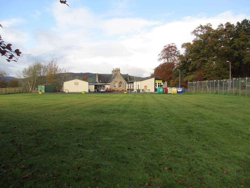
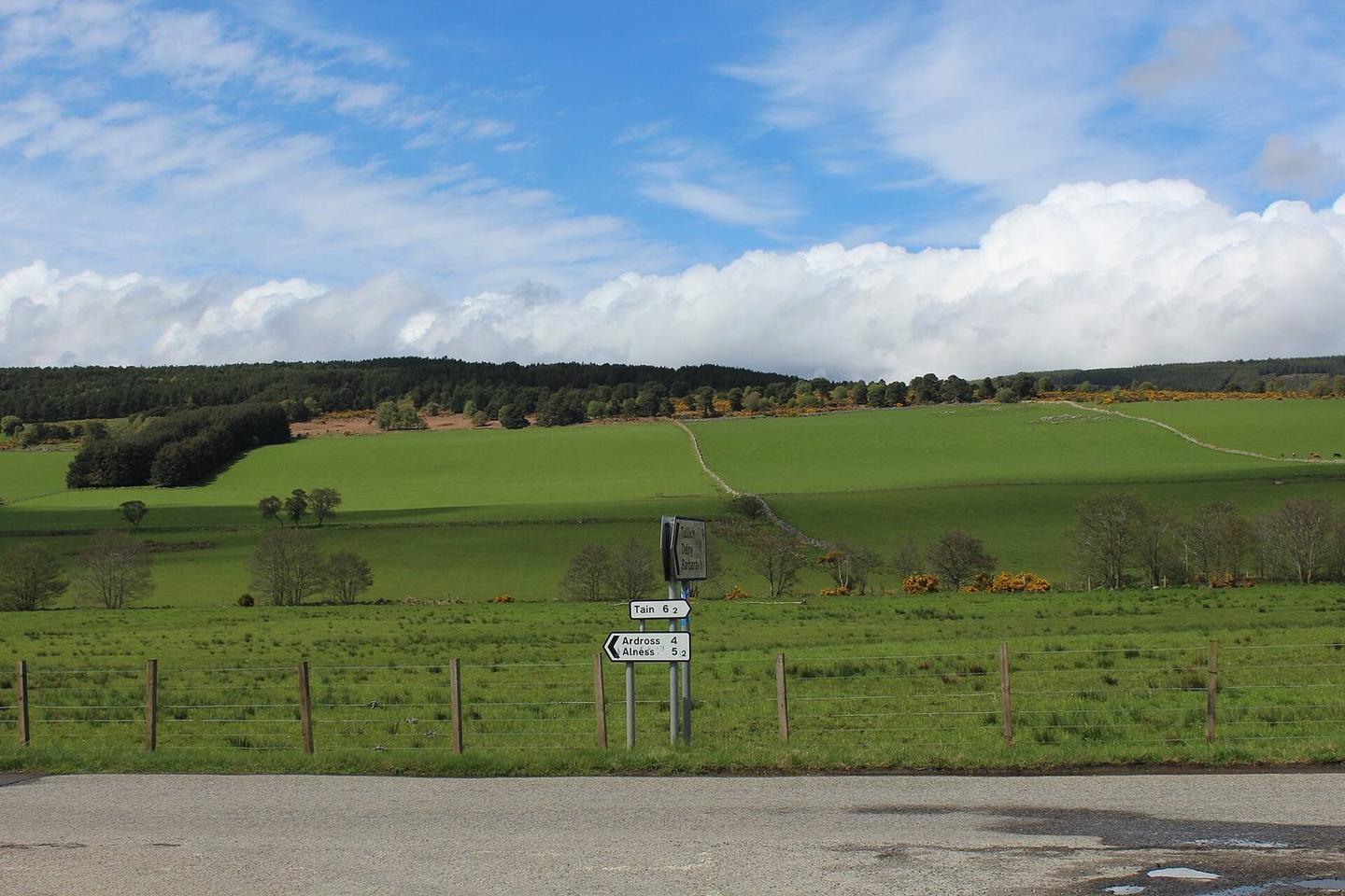
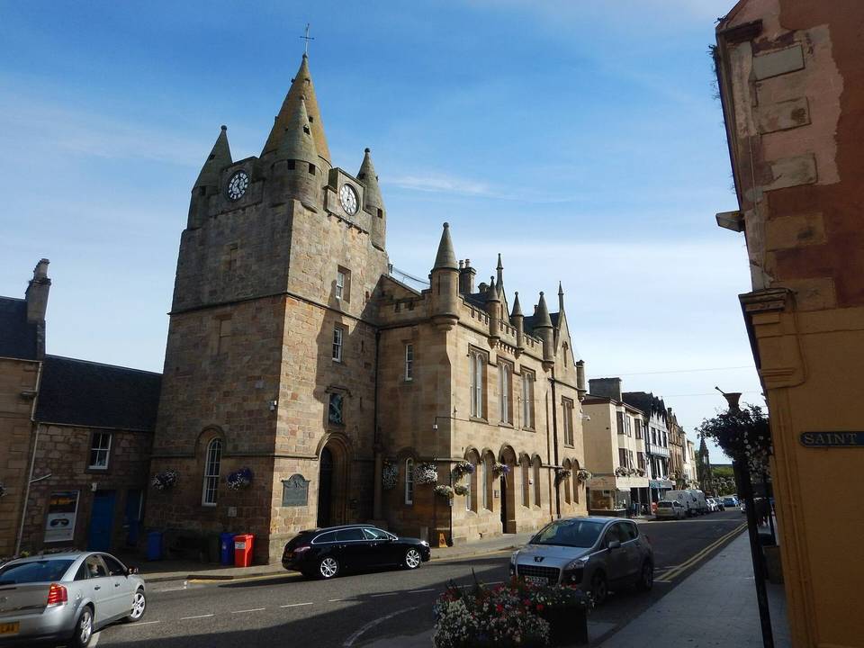
2 photographs from the road

Photo: Chris Heaton · CC BY-SA 2.0 · Wikimedia Commons · Photo: Peter Wood · CC BY-SA 2.0 · Wikimedia Commons

Stage of