Cyclists.com

Portgordon to Inverness

Portgordon, Moray, United KingdomRoad

Signed route The waymarked National Cycle Route 1: Dundee to Tain (part) (Walk Wheel Cycle Trust), traced from OpenStreetMap and measured against the terrain model; no member has recorded it yet. Stage 1 of 3 of the National Cycle Route 1: Dundee to Tain (part). Ridden it? Add your recording and photos.

106 km
Distance
540 m
Elevation gain
Hard
Difficulty
Paved
Surface
Download GPXMap

Elevation profile

Total ascent
540 m
Distance
106 km
050100150200m0 km255075106 km176 m · highest, at 84.9 kmStartFinish

Route overview

Suitable for intermediate cyclists comfortable with moderate distance and some climbing.

Stage 1 of 3 of the National Cycle Route 1: Dundee to Tain (part): 106.2 km from Portgordon to Inverness with 540 m of climbing, on the signed route.

Starting near Portgordon, the route progresses inland through Nether Dallachy, Bogmoor, Carsemoor, and Garmouth before reaching Elgin at 23 km. The route climbs 47 m over 1.3 km starting just after 24 km beneath Lady Hill at 29 m height. After Elgin, it continues past North Alves, Kinloss, and Forres, passing Kinloss Abbey ruins near 43 km. There are three climbs: one near 24.4 km, the second of 67 m gain over 1.8 km starting at 72 km, and the last of 45 m gain over 1.6 km at 90.2 km. Longest named road is Lochloy Road at 7.6 km. Most of the 106.2 km are on minor roads (74%), with 13 km on cycle paths and smaller percentages on quiet streets, paths, main roads (1.6 km), and roads with cycle lanes (1.2 km). Around 96% of the surface is paved, with small sections of unpaved or gravel, and 2 km unmapped. The gradient is mostly flat (80%), with 9% climbing and none over 10%. The route drops to a low of 2 m at 44.8 km and peaks at 177 m at 82.6 km near The Ord. The longest descent lasts 2.6 km dropping 109 m from 95 km. Shops, cafés, and pubs are available in many villages and towns, including Portgordon, Garmouth, Elgin, Kinloss, Forres, Nairn, and Inverness. However, there is a 25 km stretch without café, shop, or water between 66.8 km and 91.8 km. Bailout points with stations are at Elgin, Forres, Nairn, and Inverness. Water is supplied at km 102.5 in Inverness, and toilets appear throughout the route.

Highlights

  • Elgin Cathedral near 23 km
  • Kinloss Abbey ruins around 43 km
  • Climb near km 72 with 1.8 km length
  • Longest descent of 2.6 km from km 95

Along the route

Measured from the recorded track and OpenStreetMap.

Places passed

  1. Nether Dallachy 5.8 km
  2. Bogmoor 6.5 km
  3. Carsemoor 6.8 km
  4. Garmouth 9.1 km
  5. Pinefield 20.6 km
  6. Moycroft 21.2 km
  7. Newmill 21.7 km
  8. Ashgrove 22.1 km
  9. Elgin 23 km
  10. Bishopmill 23.4 km
  11. Oldmills 24.2 km
  12. Morriston 24.8 km
  13. North Alves 34.5 km
  14. Coltfield 35.5 km
  15. Kinloss 42.8 km
  16. Forres 47 km
  17. Broom of Moy 48.7 km
  18. Kintessack 52.2 km
  19. Dyke 54.4 km
  20. Brodie 56.2 km
  21. Kingsteps 64.7 km
  22. Fishertown 66.5 km
  23. Nairn 66.7 km
  24. Househill 67.9 km
  25. Firhall 68.8 km
  26. Clava 90.3 km
  27. Newlands of Culloden 90.6 km
  28. Leanach 91.5 km
  29. Balloch 94.3 km
  30. Culloden 95.8 km
  31. Smithton 97 km
  32. Cradlehall 98.5 km
  33. Castlehill 99.1 km
  34. Inshes 100.1 km
  35. Drakies 100.5 km
  36. Raigmore 100.7 km
  37. Culcabock 100.8 km
  38. Millburn 101.7 km
  39. Crown 102.2 km
  40. Longman 102.4 km
  41. Haugh 102.7 km
  42. Inverness 102.9 km

Climbs

ClimbStarts atLengthGainAverageMaxTop
24.4 km1.3 km47 m3.8 %7 %69 m
72 km1.8 km67 m3.8 %6.9 %124 m
90.2 km1.6 km45 m2.8 %5 %151 m

High point 177 m at 82.6 km; low point 2 m. Passes beneath Lady Hill, The Ord.

What this ride is like

Measured from OpenStreetMap along the track and the elevation profile.

Roads
74% minor road · 13% cycle path · 5% quiet street · 2% path · 1% unmapped
Main roads
1.7 km on main roads without a cycle lane — likely busier
Fast roads
36 km on roads with a limit of 80 km/h or more
Cycle paths
14.2 km on cycle paths or roads with a cycle lane
Main roads used
Lochloy Road (8 km)
Surface
Paved throughout
Gradient
9% climbing · 11% descending · 80% flat
Steep sections
0.6 km over 5%
Longest descent
2.6 km from 95 km, dropping 109 m

Along the way

Within a few hundred metres of the track, from OpenStreetMap. Opening hours change — treat this as where to look, not a promise.

Longest stretch without a café, shop or water: 25 km, from 67 km to 92 km.

Food, water and shops

  1. 1.1 kmThe Lampie Hoose Café · café · 80 m off route
  2. 1.5 kmSpar · convenience store · 30 m off route
  3. 9.1 kmCafé · 200 m off route
  4. 22.7 kmToilets · 50 m off route
  5. 23 kmMNMs Cafe · café · 50 m off route
  6. 23 kmBoots · pharmacy · 310 m off route
  7. 42.8 kmThe Abbey Inn · pub · 50 m off route
  8. 42.8 kmSpar · convenience store · on the route
  9. 43 kmSea Park Filling Station · petrol station · on the route
  10. 47 kmRowlands Pharmacy · pharmacy · 470 m off route
  11. 56.2 kmOld Mill Inn · restaurant · 240 m off route
  12. 66.7 kmCafé Nairn · café · 120 m off route
  13. 66.8 kmBoots · pharmacy · 270 m off route
  14. 94.5 kmWellside Cafe · café · 120 m off route
  15. 100.1 kmTesco Customer Toilets · toilets · 120 m off route
  16. 102 kmHarry Gow Bakery · bakery · on the route
  17. 102 kmBoots · pharmacy · on the route
  18. 102.5 kmTop Up Tap · drinking water · 40 m off route

Need to bail out?

  • 22.9 kmElgin (station), 880 m off route
  • 47.2 kmForres (station), 260 m off route
  • 66.9 kmNairn (station), 530 m off route
  • 102.4 kmInverness (station), 220 m off route

Whether bikes are carried depends on the service — check before relying on it.

Worth a stop

  • 1.3 kmPortgordon Fairy Walk (attraction)
  • 22.5 kmElgin Cathedral (attraction)
  • 42.7 kmKinloss Abbey (ruins)
  • 46.9 kmBenromach Distillery (attraction)
  • 55.6 kmRodney's Stone (attraction)
  • 86.7 kmCantraydoune Motte (archaeological site)

At the finish

  • Perk · café · 90 m
  • Rendezvous Cafe · café · 130 m
  • Co-op Food · supermarket · 80 m
  • O'Délice · patisserie · 120 m
  • Hootananny · pub · 90 m

Stay after this ride

  • City Hostel · hostel · 200 m from the finish
  • Waverly Inn · apartment · 80 m from the finish
  • Mercure Inverness · hotel · 80 m from the finish
  • River Ness Hotel · hotel · 120 m from the finish
  • Inverness Centre Premier Inn · hotel · 120 m from the finish

Practical information

Surface
Paved
Route shape
Point to point
Riding time
7 h 35 min
Best months
Jun to Sep — daily highs of 16–18 °C in those months

Know before you go

  • 25 km stretch with no café, shop or water from 66.8 km to 91.8 km
  • 1.7 km on main roads without cycle lanes
  • 36 km on roads with 80 km/h or higher limits
  • 0.6 km above 5% gradient between 24-26 km

Routes are for inspiration. Roads, surfaces and conditions change — check locally and ride within your limits.

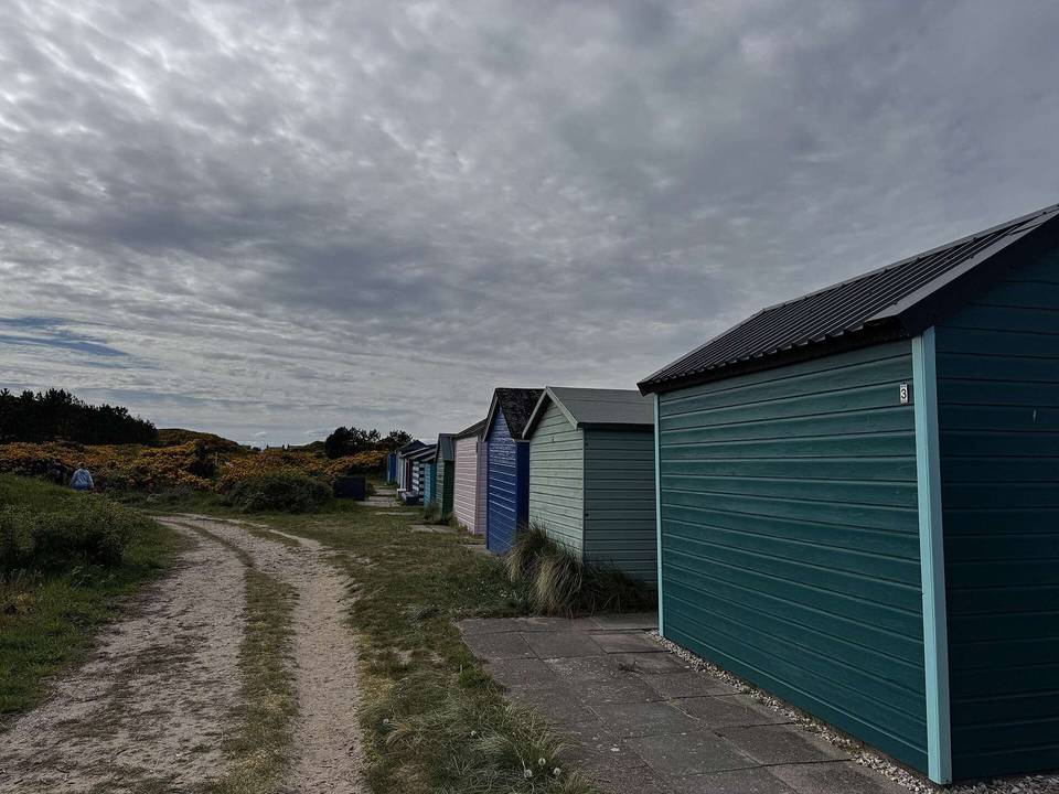
2 photographs from the road

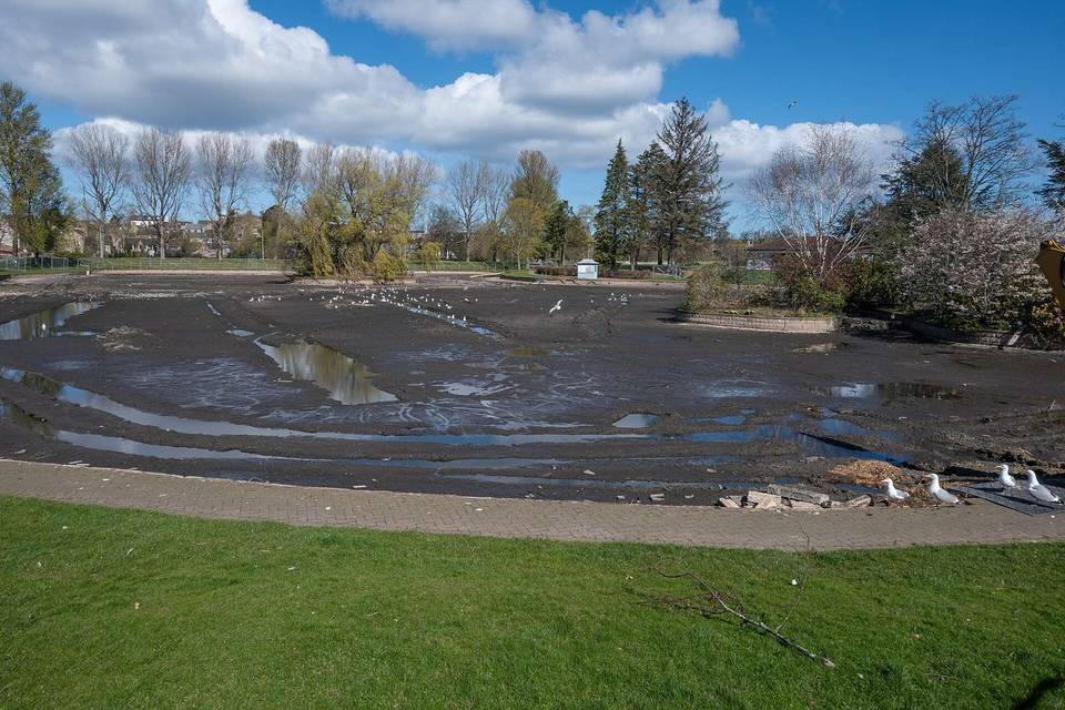
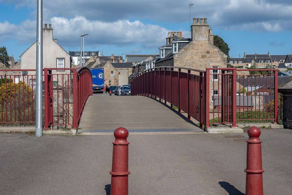
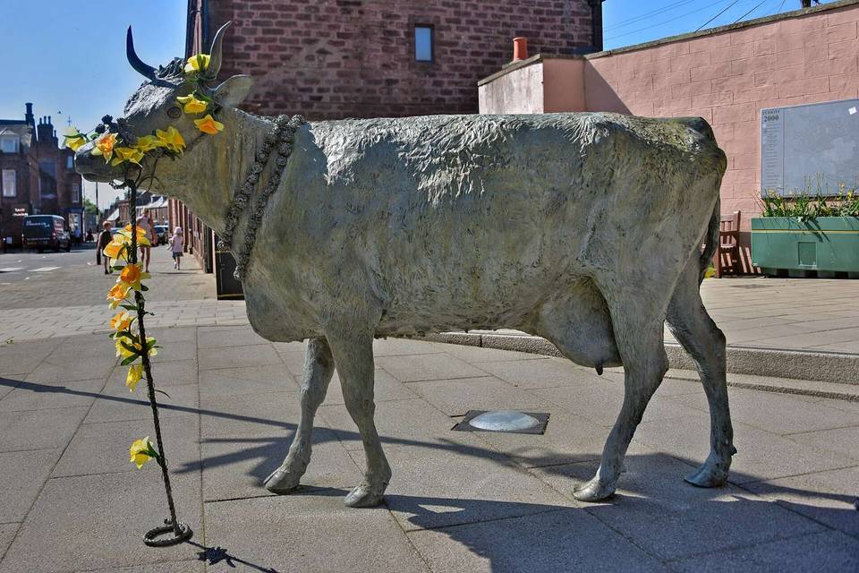
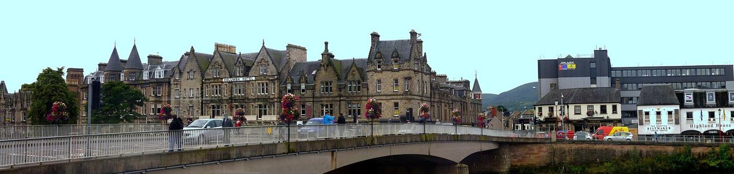
Photo: giggel · CC BY 3.0 · Wikimedia Commons · Photo: Dave Kelly · CC BY-SA 2.0 · Wikimedia Commons · Photo: valenta · CC BY-SA 2.0 · Wikimedia Commons

Stage of