Cyclists.com

Elgin to Inverness

Elgin, Moray, United KingdomRoad

Signed route The waymarked EuroVelo 12 from Edinburgh (EuroVelo EV12), traced from OpenStreetMap and measured against the terrain model; no member has recorded it yet. Stage 7 of 7 of the EuroVelo 12 from Edinburgh. Ridden it? Add your recording and photos.

82 km
Distance
465 m
Elevation gain
Moderate
Difficulty
Paved
Surface
Download GPXMap

Elevation profile

Total ascent
465 m
Distance
82 km
050100150200m0 km20406082 km172 m · highest, at 61.0 kmStartFinish

Route overview

Suitable for riders prepared for moderate climbs over a long 82 km distance.

Stage 7 of 7 of the EuroVelo 12 from Edinburgh: 82.1 km from Elgin to Inverness with 465 m of climbing, on the signed route.

Starting in Elgin, the route passes through Newmill and Bishopmill within the first kilometre. It climbs early with a 1.2 km ascent beginning at 1.4 km, gaining 46 m at an average 4% gradient. The ride continues through several small places including North Alves, Coltfield, and Kinloss before reaching Forres at 24 km. Road types are mostly minor roads (80%), with some cycle paths, quiet streets, paths, and a short section on main roads. The road surface is 97% paved, with a small 2% gravel or unpaved section. After Forres, the route passes through Nairn at 44 km where a long stretch of 25.5 km follows without cafés, shops or water until 69.6 km near the Cumberland Stone monument. There are two more climbs: a 1.7 km ascent from 49.6 km gaining 74 m at 4.3%, and a 1.5 km ascent at 67.9 km gaining 44 m at 3%. The highest point of 176 m occurs at 60.1 km. The descent following the second climb drops 110 m over 2.8 km. The ride ends in Inverness at 80.5 km with various cafés and shops nearby.

Highlights

  • Climbs at 1.4 km, 49.6 km and 67.9 km
  • Highest point 176 m at 60.1 km
  • Long 25.5 km stretch without café or shop after Nairn
  • Places: Elgin, Forres, Nairn, Inverness

Along the route

Measured from the recorded track and OpenStreetMap.

Places passed

  1. North Alves 11.5 km
  2. Coltfield 12.4 km
  3. Kinloss 19.9 km
  4. Forres 24.2 km
  5. Broom of Moy 26 km
  6. Kintessack 29.6 km
  7. Dyke 31.8 km
  8. Brodie 33.6 km
  9. Kingsteps 42 km
  10. Fishertown 43.9 km
  11. Nairn 44.1 km
  12. Househill 45.3 km
  13. Firhall 46 km
  14. Clava 68.3 km
  15. Newlands of Culloden 68.4 km
  16. Leanach 69.2 km
  17. Balloch 72 km
  18. Culloden 73.7 km
  19. Smithton 74.8 km
  20. Cradlehall 76.4 km
  21. Castlehill 76.9 km
  22. Inshes 78 km
  23. Drakies 78.4 km
  24. Raigmore 78.6 km
  25. Culcabock 78.7 km
  26. Crown 80 km

Climbs

ClimbStarts atLengthGainAverageMaxTop
1.4 km1.2 km46 m4 %6.8 %69 m
49.6 km1.7 km74 m4.3 %6.2 %130 m
67.9 km1.5 km44 m3 %5 %149 m

High point 176 m at 60.1 km; low point 2 m. Passes beneath Lady Hill, The Ord.

What this ride is like

Measured from OpenStreetMap along the track and the elevation profile.

Roads
80% minor road · 8% cycle path · 5% quiet street · 2% path
Main roads
1.6 km on main roads without a cycle lane — likely busier
Fast roads
35.9 km on roads with a limit of 80 km/h or more
Cycle paths
8.2 km on cycle paths or roads with a cycle lane
Main roads used
Lochloy Road (8 km)
Surface
Paved throughout
Gradient
12% climbing · 12% descending · 76% flat
Steep sections
1.1 km over 5% · steepest 500 m averages 6% at 2 km
Longest descent
2.8 km from 71 km, dropping 110 m

Along the way

Within a few hundred metres of the track, from OpenStreetMap. Opening hours change — treat this as where to look, not a promise.

Longest stretch without a café, shop or water: 26 km, from 44 km to 70 km.

Food, water and shops

  1. 0 kmMNMs Cafe · café · 60 m off route
  2. 0 kmToilets · 280 m off route
  3. 0 kmHighland Bikes · bike shop · 240 m off route
  4. 0.6 kmTesco Extra · supermarket · 180 m off route
  5. 19.9 kmThe Abbey Inn · pub · 40 m off route
  6. 19.9 kmSpar · convenience store · on the route
  7. 20 kmSea Park Filling Station · petrol station · 50 m off route
  8. 24.2 kmMosset Tavern · pub · 350 m off route
  9. 33.4 kmOld Mill Inn · restaurant · 150 m off route
  10. 43.8 kmScotmid · supermarket · 90 m off route
  11. 44 kmCafé Nairn · café · 110 m off route
  12. 44.1 kmBoots · pharmacy · 270 m off route
  13. 72.3 kmWellside Cafe · café · 110 m off route
  14. 78 kmTesco Extra · supermarket · 130 m off route
  15. 78 kmTesco Customer Toilets · toilets · 120 m off route
  16. 78.6 kmKingswell Service Station · petrol station · 30 m off route
  17. 80.3 kmTop Up Tap · drinking water · 30 m off route
  18. 80.3 kmFalcon Square E-Bike Hire · bike rental · 100 m off route

Need to bail out?

  • 0 kmElgin (station), 910 m off route
  • 24.5 kmForres (station), 260 m off route
  • 44.5 kmNairn (station), 520 m off route
  • 80.3 kmInverness (station), 220 m off route

Whether bikes are carried depends on the service — check before relying on it.

Worth a stop

  • 0.9 kmElgin Castle (castle)
  • 19.7 kmKinloss Abbey (ruins)
  • 24.1 kmBenromach Distillery (attraction)
  • 33 kmRodney's Stone (attraction)
  • 64.4 kmCantraydoune Motte (archaeological site)
  • 69.6 kmCumberland Stone (monument)

At the start

  • MNMs Cafe · café · 60 m
  • Ashers Bakery · bakery · 190 m
  • Walkers Shortbread · patisserie · 200 m
  • Costa · café · 230 m
  • Aldi · supermarket · 220 m

At the finish

  • Birch Cafe · café · 30 m
  • Caffè Nero · café · 120 m
  • The Caledonian · pub · 20 m
  • McDonald's · fast food · 30 m
  • Aye Eat · restaurant · 30 m

Stay after this ride

  • City Hostel · hostel · 40 m from the finish
  • The Waverly Guest House · hotel · 110 m from the finish
  • Mercure Inverness · hotel · 120 m from the finish
  • Kinloch Lodge · guest house · 170 m from the finish
  • Market Brae Guest House · guest house · 170 m from the finish

Practical information

Surface
Paved
Route shape
Point to point
Riding time
5 h 52 min
Best months
Jun to Sep — daily highs of 16–18 °C in those months

Know before you go

  • 25.5 km without café, shop or water from km 44.1 to 69.6
  • 1.6 km on main roads without cycle lane
  • 35.9 km on roads with 80 km/h or more speed limit

Routes are for inspiration. Roads, surfaces and conditions change — check locally and ride within your limits.

2 photographs from the road

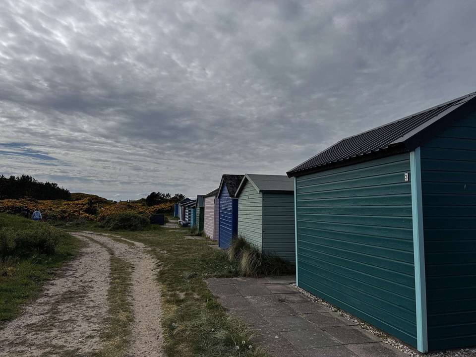
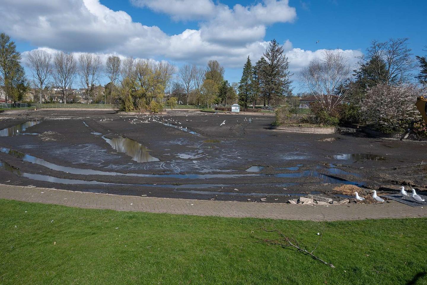
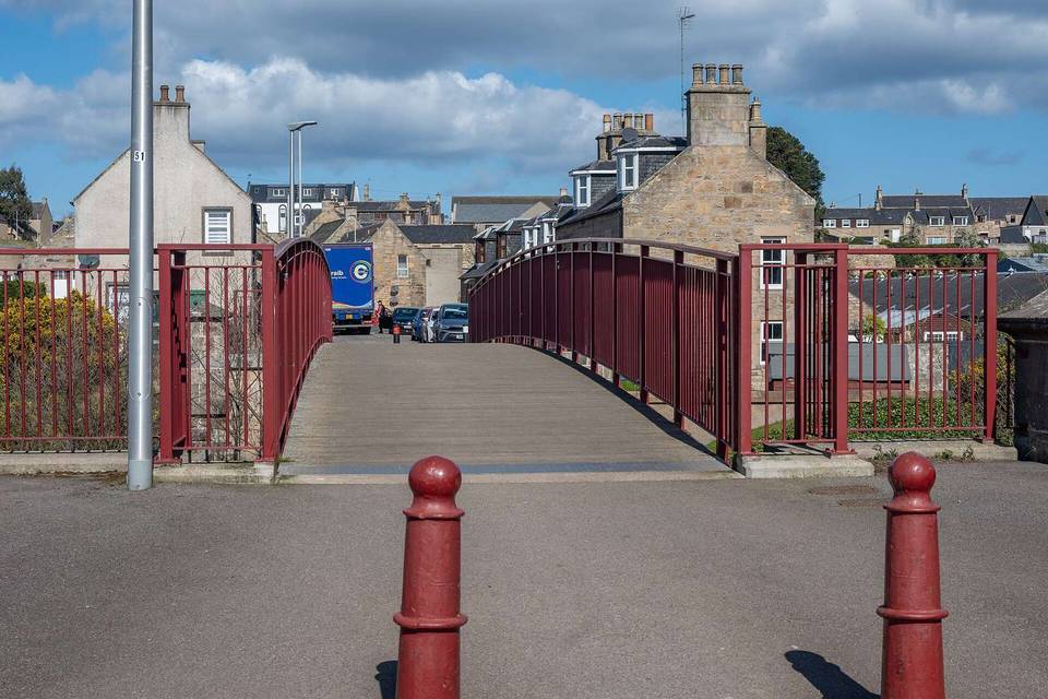
Photo: Lucas Kendall · CC BY-SA 4.0 · Wikimedia Commons · Photo: Charles from Port Chester, New York · CC BY 2.0 · Wikimedia Commons · Photo: Craig Wallace · CC BY-SA 2.0 · Wikimedia Commons

Stage of

More rides from Elgin