Cyclists.com

National Cycle Route 1

Elgin, Moray, United KingdomRoad

Signed route The waymarked National Cycle Route 1 (National Cycle Network), traced from OpenStreetMap and measured against the terrain model; no member has recorded it yet. Ridden it? Add your recording and photos.

38 km
Distance
80 m
Elevation gain
Easy
Difficulty
Paved
Surface
Download GPXMap

Elevation profile

Total ascent
80 m
Distance
38 km
02040m0 km10203038 km31 m · highest, at 14.7 kmStartFinish

Route overview

Suitable for riders looking for an easy distance with minimal climbing over around 38 km.

National Cycle Route 1 from Elgin to Forres in Moray, UK, 38 km with 80 m climbing.

This 37.9 km route starts in Elgin and passes through Newmill, Bishopmill, and Findrassie before reaching Stotfield at 8.1 km. It continues via Duffus, Hopeman, Cummingston, and Burghead, then Kinloss, Forbes Hill, and finishes at Forres. The route crosses a variety of road types: 13.8 km of cycle path (37%), 11 km on main roads (29%), 3.7 km quiet streets, 3.7 km paths, 2.5 km tracks, and 1.5 km minor roads. The longest stretches on named roads include 6.5 km on the B9089 and 3.6 km on the B9040. There is 11 km on main roads without cycle lanes, with 9.3 km on roads posted at 80 km/h or more. The surface is paved for 81% and gravel or unpaved for 15%. Climbing is minimal with 80 m ascent and a peak elevation of 30 m at 14 km, with the lowest point at 2 m around 3.9 km. The gradient is mostly flat (92%), with only 0.1 km over 5%.

Highlights

  • Passing near Clarkly Hill (63 m) at 19.9 km
  • Longest named road: B9089 for 6.5 km
  • Route passes through Duffus and Burghead
  • Elgin Cathedral near start

Along the route

Measured from the recorded track and OpenStreetMap.

Places passed

  1. Stotfield 8.1 km
  2. Duffus 14.7 km
  3. Hopeman 18.2 km
  4. Cummingston 19.7 km
  5. Burghead 21.4 km
  6. Kinloss 31.9 km
  7. Forbes Hill 34.8 km

What this ride is like

Measured from OpenStreetMap along the track and the elevation profile.

Roads
37% cycle path · 29% main road · 10% quiet street · 10% path
Main roads
11 km on main roads without a cycle lane — likely busier
Fast roads
9.3 km on roads with a limit of 80 km/h or more
Cycle paths
14.1 km on cycle paths or roads with a cycle lane
Main roads used
B9089 (7 km), B9040 (4 km)
Surface
81% paved · 15% gravel or unpaved
Gradient
3% climbing · 4% descending · 92% flat

Along the way

Within a few hundred metres of the track, from OpenStreetMap. Opening hours change — treat this as where to look, not a promise.

Food, water and shops

  1. 0 kmMNMs Cafe · café · 270 m off route
  2. 0 kmHighland Bikes · bike shop · 410 m off route
  3. 0.1 kmToilets · 60 m off route
  4. 1.5 kmBudgens · convenience store · 60 m off route
  5. 1.5 kmEsso · petrol station · 50 m off route
  6. 7.5 kmSpar · convenience store · 270 m off route
  7. 10.3 kmCovesea Cafe · café · 110 m off route
  8. 14.6 kmDuffus Inn · restaurant · 280 m off route
  9. 19.7 kmToilets · 60 m off route
  10. 21.4 kmScotmid · supermarket · 180 m off route
  11. 21.7 kmCable Cafe · café · 170 m off route
  12. 30.2 kmWoodside Farm Coffee Shop and Play Area · café · 200 m off route
  13. 31.9 kmRepair stand · on the route
  14. 32 kmSea Park Filling Station · petrol station · on the route
  15. 35.6 kmGrant Park Toilets · toilets · 180 m off route
  16. 35.9 kmTop Up Tap · drinking water · 200 m off route
  17. 36 kmForres community cafe · café · 150 m off route
  18. 36.3 kmRowlands Pharmacy · pharmacy · 200 m off route

Need to bail out?

  • 0 kmElgin (station), 890 m off route
  • 37.1 kmForres (station), 90 m off route

Whether bikes are carried depends on the service — check before relying on it.

Worth a stop

  • 0 kmElgin Cathedral (attraction)
  • 7.3 kmMercat Cross (monument)
  • 31.7 kmKinloss Abbey (ruins)
  • 35 kmSueno's Stone (attraction)

At the start

  • MNMs Cafe · café · 270 m
  • Ashers Bakery · bakery · 300 m
  • The Emperor · restaurant · 200 m
  • Harpers Coffee Shop · café · 340 m
  • Ionic Bar · bar · 280 m

At the finish

  • Forres · station · 270 m
  • Tesco · supermarket · 580 m
  • Forres community cafe · café · 850 m
  • Mosset Tavern · pub · 610 m
  • Cafe 1496 · café · 780 m

Stay after this ride

  • Victoria Hotel · hotel · 610 m from the finish
  • April Rise · guest house · 740 m from the finish
  • Knockomie Hotel · hotel · 2.1 km from the finish
  • The Old Kirk B&B · guest house · 3.9 km from the finish

Practical information

Surface
Paved
Route shape
Point to point
Riding time
2 h 42 min
Best months
Jun to Sep — daily highs of 16–18 °C in those months

Know before you go

  • Longest stretch without café, shop, or water: 8.5 km from 21.7 to 30.2 km
  • 11 km on main roads without cycle lane
  • 9.3 km on roads with speed limit 80 km/h or more
  • 15% gravel or unpaved surface

Routes are for inspiration. Roads, surfaces and conditions change — check locally and ride within your limits.

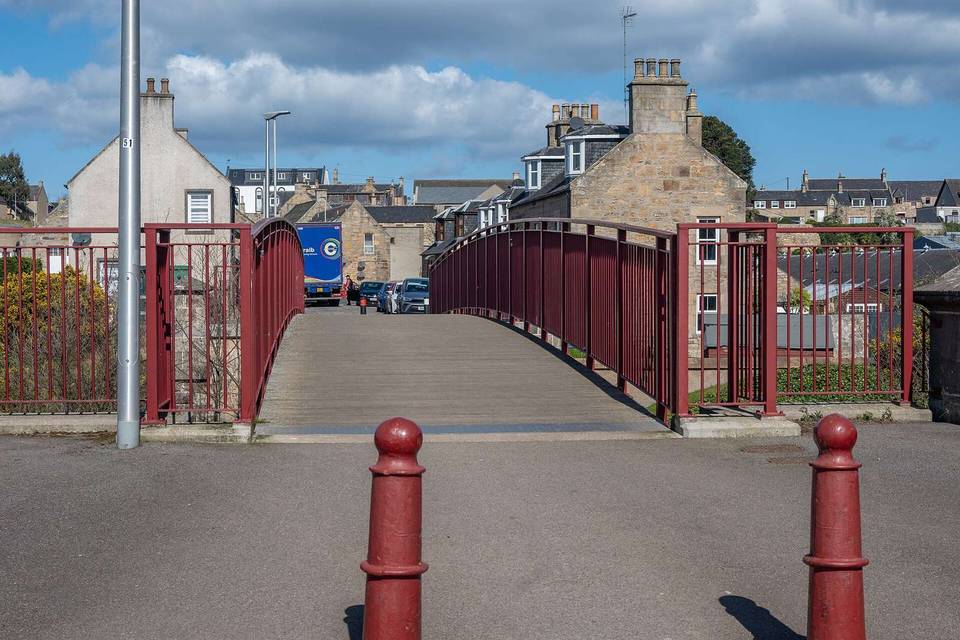
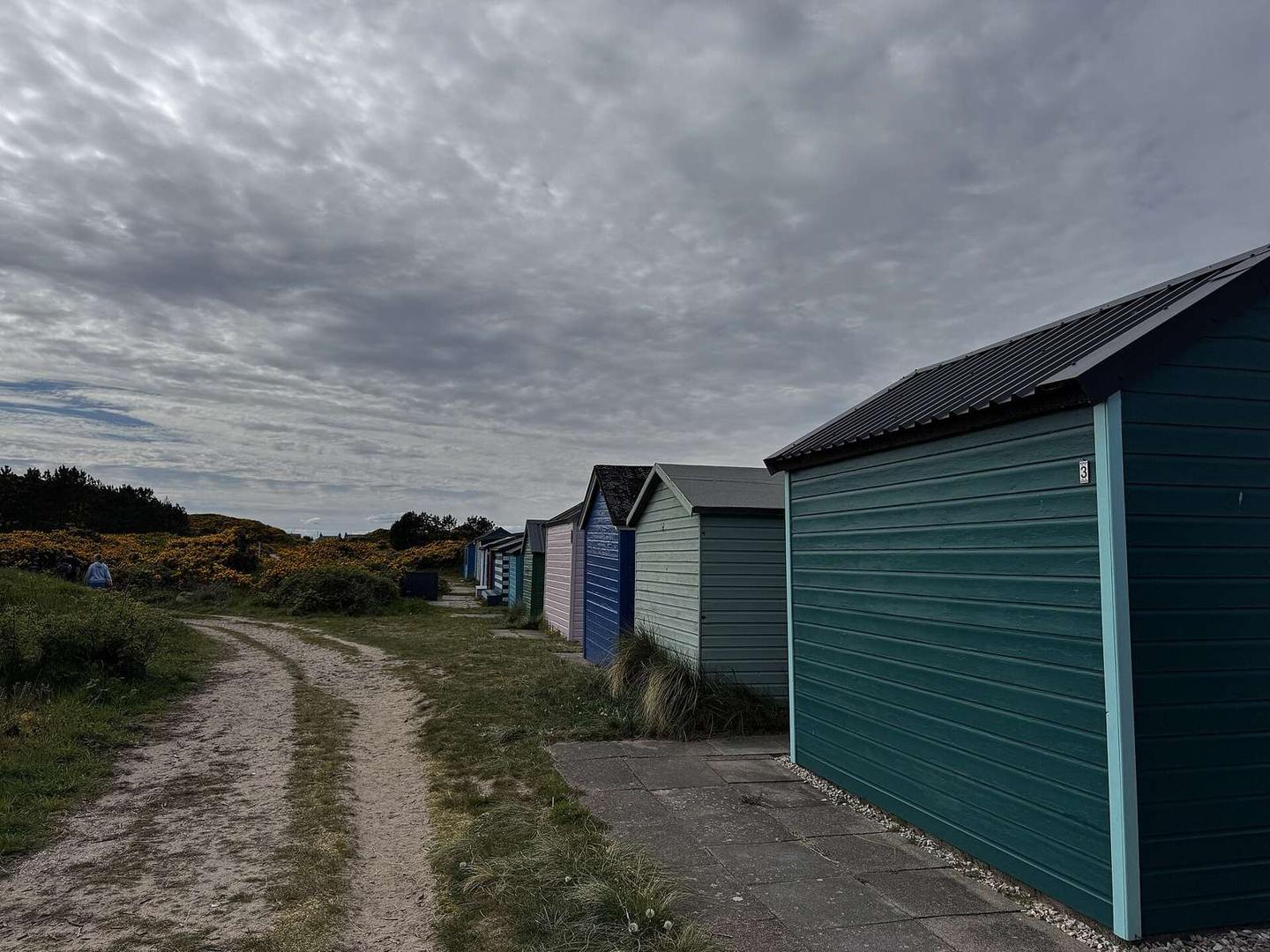
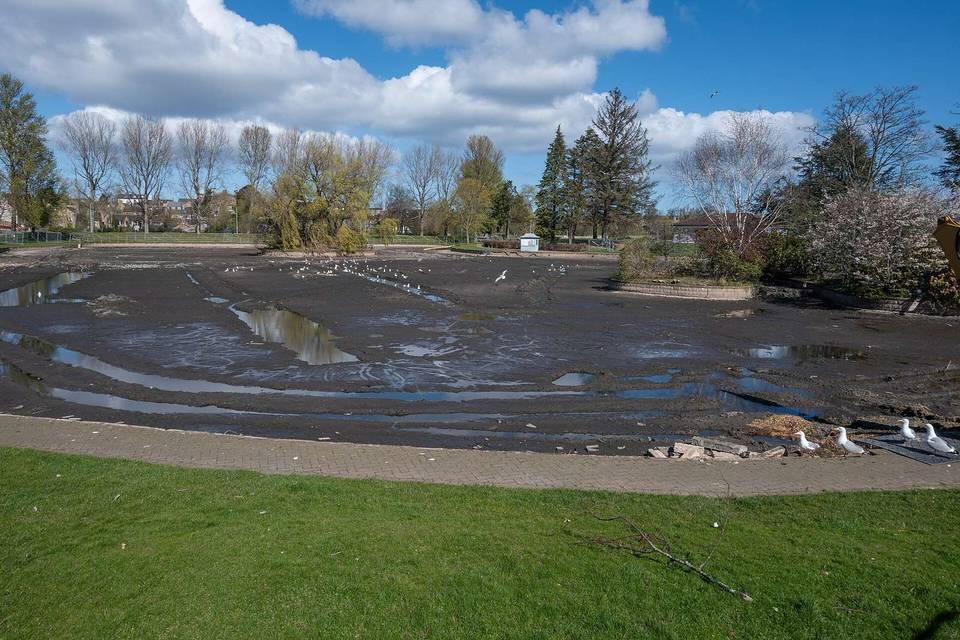
2 photographs from the road

Photo: Ralph Greig · CC BY-SA 2.0 · Wikimedia Commons · Photo: Chris Morgan · CC BY-SA 2.0 · Wikimedia Commons · Photo: Lucas Kendall · CC BY-SA 4.0 · Wikimedia Commons

More rides from Elgin