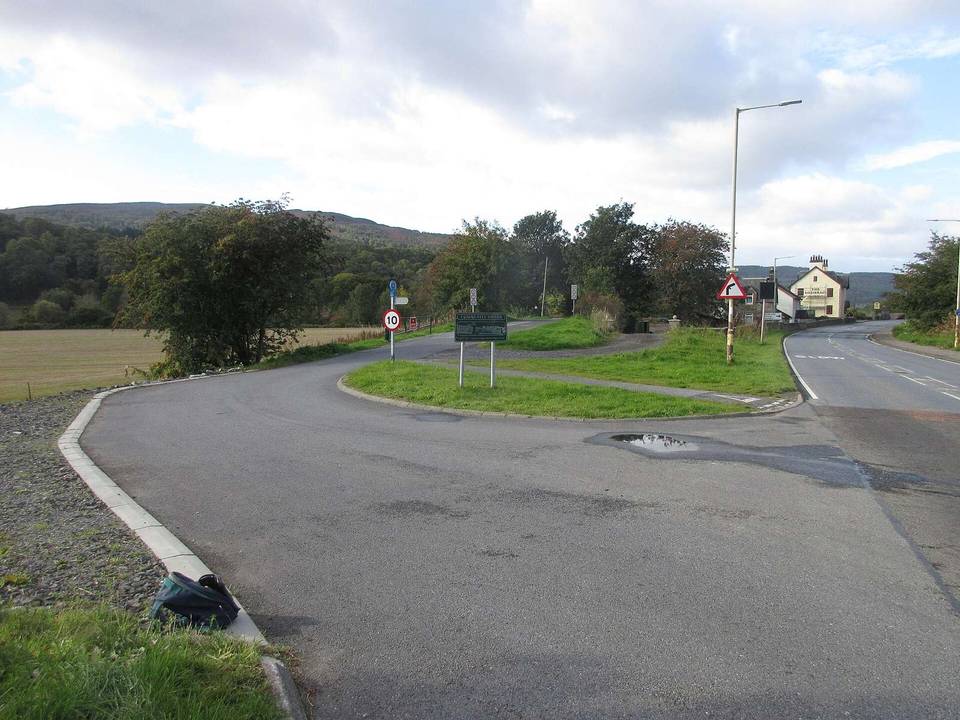
Road · United Kingdom
A hilly 23 km mixed-surface cycling loop from Butterstone, Perth and Kinross through Dunkeld, with 229 m of climbing. Mixed surface: 42% is mapped as paved and 58% as gravel or unpaved.
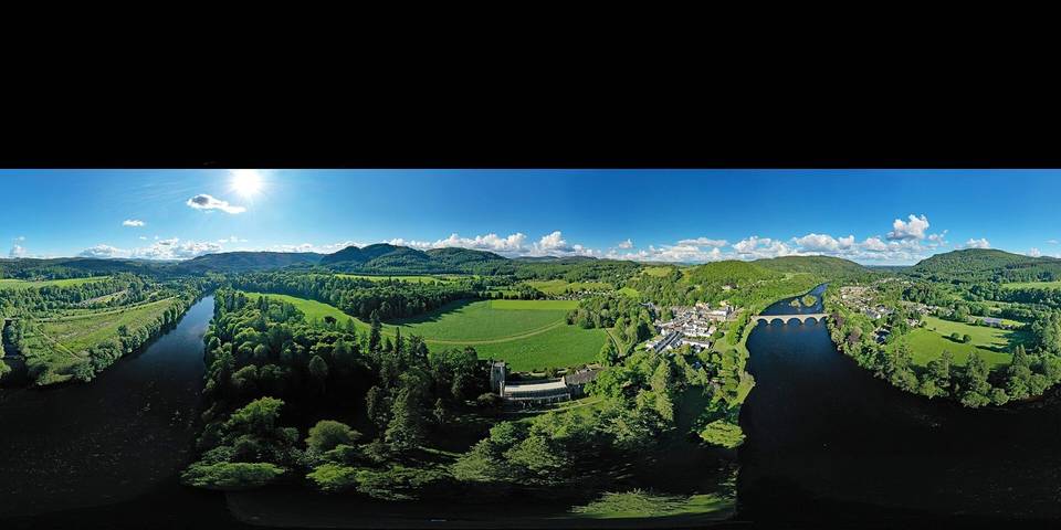
The route starts at Butterstone and heads to Dunkeld at 6.1 km. It passes near archaeological sites Lowes at 1.9 km and The Glack at 9.9 km, and peaks like Shepherd's Peak at 6.8 km and East Point at 7.4 km. The surface is 42% paved and 58% gravel or unpaved, consisting mainly of quiet streets (67%), with some track (12%), path (8%), minor road (8%), and main road (7%). The main roads include 1.5 km without cycle lanes and 3 km of road with speed limits of 80 km/h or more.
There are two main climbs: the first starts at 6.3 km, is 4.4 km long, climbing 106 m at an average 2.4% gradient with a max of 5.6%, topping out at 213 m. The second is 3.2 km from 12.6 km, rising 74 m at 2.3%, maxing at 3.6%, reaching 296 m high. The highest point on the route is at 15.8 km. The longest descent is 2.6 km starting at 20.1 km, with a drop of 191 m.
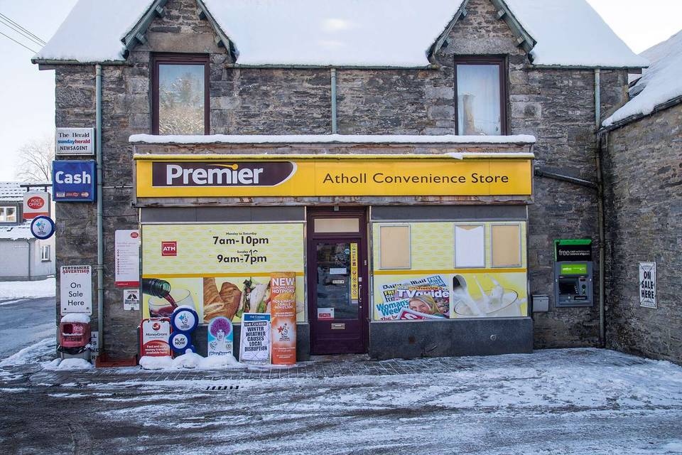
Facilities are limited after Dunkeld: there is a bike shop and fast food at 6.1-6.2 km, but no café, shop, or water for 16.3 km after 6.2 km. Archaeological sites are worth a stop, including Lowes, The Glack, and a saw mill near the finish. Peaks near the road include Craig Wood Hill, Crieff Hill, Stanley Hill, and Gallow Hill.
| Climb | Starts at | On this ride | Top on this ride |
|---|---|---|---|
| Unnamed climb | 6.3 km | 4.4 km · 106 m · 2.4 % · max 5.6 % | 213 m |
| Unnamed climb | 12.6 km | 3.2 km · 74 m · 2.3 % · max 3.6 % | 296 m |
Mostly minor roads and streets on the map; 1.5 km is on main roads without a cycle lane.
The longest stretch without a café, shop or water is 16 km, from km 6 to 23. Along the route: 1 café or restaurant and 1 bike shop.